
Difficulty:
difficult
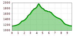
Length:
93.5 km
Elevation uphill:
7,700 m
Short description:A great hike to one of the most popular mountains in the Tannheimer Tal.Quality of experience: ******Recommended season:MayJuneJulyAugustSeptemberOctoberProperties:Round tripLoopScenicRefreshment stops availableGeological highlightsBotanical highlightsFaunistic highlightsCableway ascent/descentSummit route

Description:
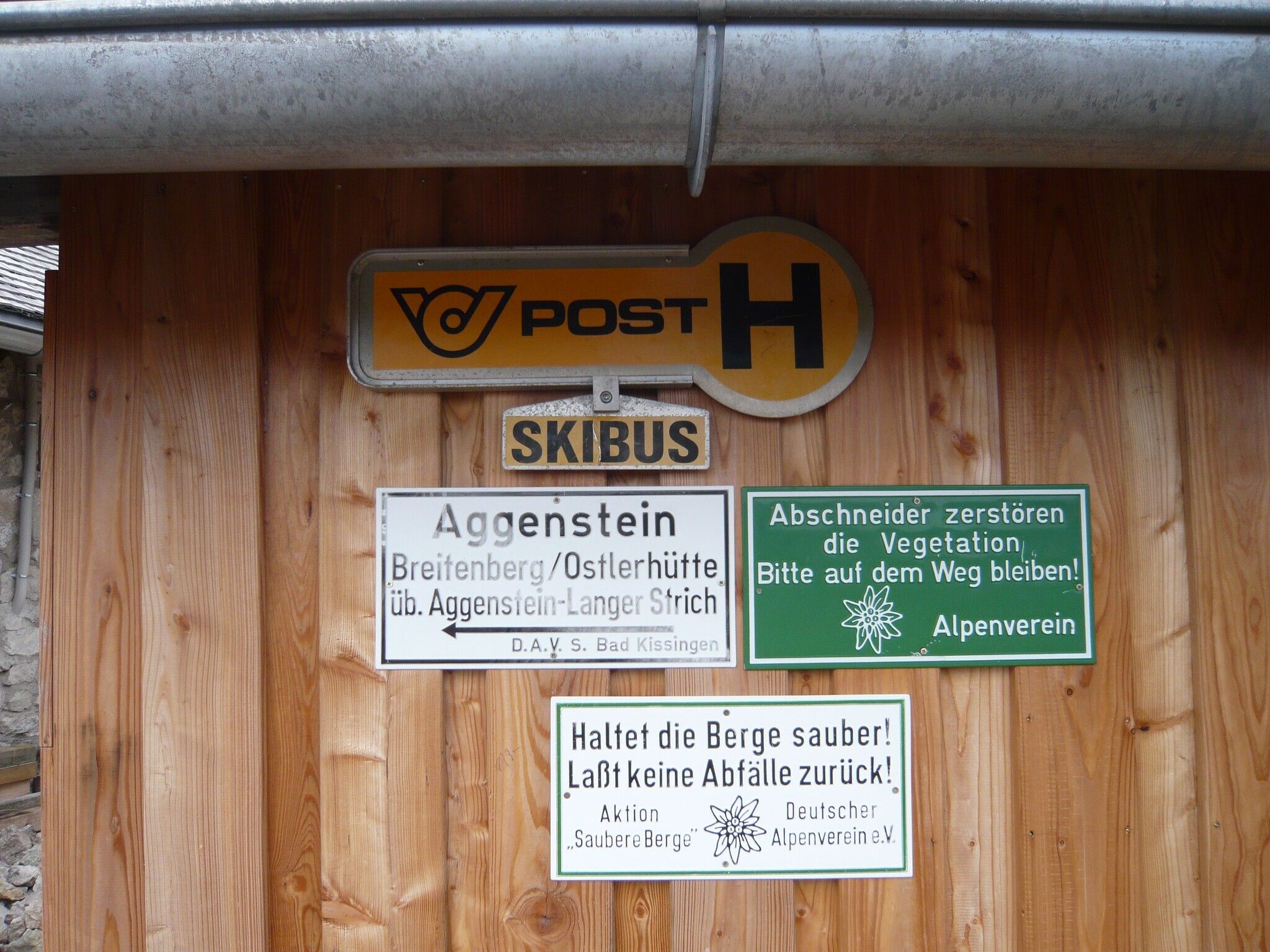
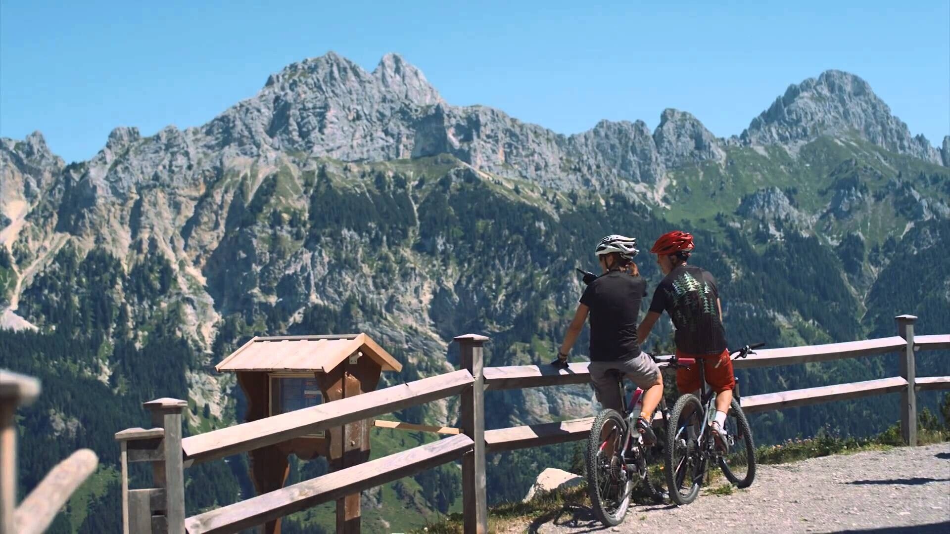
A popular hike in the most beautiful high valley in Europe. A wonderful mountain backdrop awaits you. The path to the Bad Kissinger Hut and further to the Aggenstein is certainly a bit strenuous, but the magnificent panoramic view rewards the effort of the climb. The last section shortly before the summit should be approached with caution; watch your safety.Directions:
From the Enge parking lot, go straight ahead, heading north, towards the houses of Lumberg. First turn right and then immediately left again. Through the barrier onto the pasture and continue following the signs to the Bad Kissinger Hut. Partly a bit steeper, but a beautiful ascent on varied terrain. Upon arriving at the Bad Kissinger Hut, it is not far to the summit, but the climb should not be underestimated. Attention!!! There are sections with rope protection, so surefootedness and a head for heights are required, especially caution is advised when wet. Wonderful panoramic views from the Aggenstein in all directions. The descent to the Bad Kissinger Hut is on the same path. Continue downhill towards Seben Alpe and at the first junction turn right. The path passes through wooded areas, over pastureland, and crosses the stream several times. Moderately steep, the descent is quick. Soon the route meets the path we took up. Relatively quickly, possibly with a short rest, the parking lot in Grän/Enge is reached.Tip:
Beautiful route, great view, excellent stop at the Bad Kissinger Hut.
Safety guidelines:It should be noted that there is an increased risk of accidents and injuries in mountaineering. Despite careful route planning, there always remains a basic risk.
Route preparation through endurance training, suitable technical training and further education, as well as personal prudence, reduces the accident risk and hazards. But please never forget that the weather in the mountains can change very quickly. Stay on the marked trails.
Personal mountaineering equipment must be secure and functional and meet the respective technical standards. Every hiker is advised to inform themselves about the planned routes in alpine literature or locally.
.jpg")

