
Opening hours:Open today
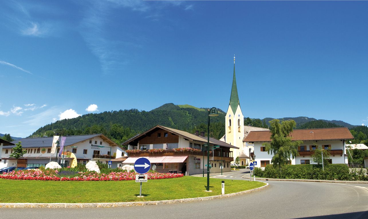
Place:Kössen
:Restaurant
Trail Nr.: 12; 7; 9; 2
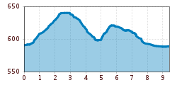
Start is the tourist office in Kössen. From there on the Mühlbachweg to Staffenbrücke and turn left there towards soccer field. Continue to Brennerwirt, right and then left direction Leitwang, continue to Schwendt to Schwendterstraße, cross this and the Lucknerhof, left to the campsite, past it to Hüttwirt, on the Hüttwirtsbrücke and on the Blaik, left to Moserberg. Over the Feilenbergweg, past the farm Exenberg and down over the Schlechterhöhe, pass the Kegelboden and continue the route back to the center.
By bus, take lines 4030, 4000, or 9509 to the stop 'VZ Kaiserwinkl'.
In front of the tourist info Kössen is a free parking lot

.jpg")
