
Opening hours:Today closed
Place:
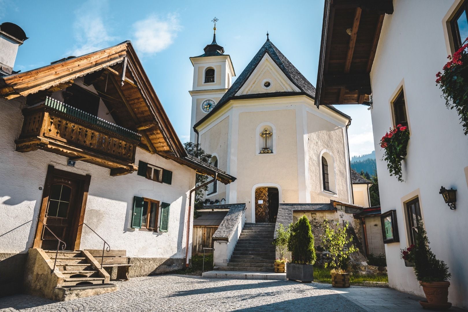
Kirchberg in Tirol
:
Alpine pasture / hut / mountain restaurant
Above the Spertental!
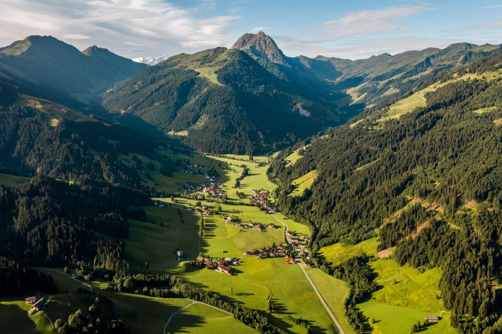
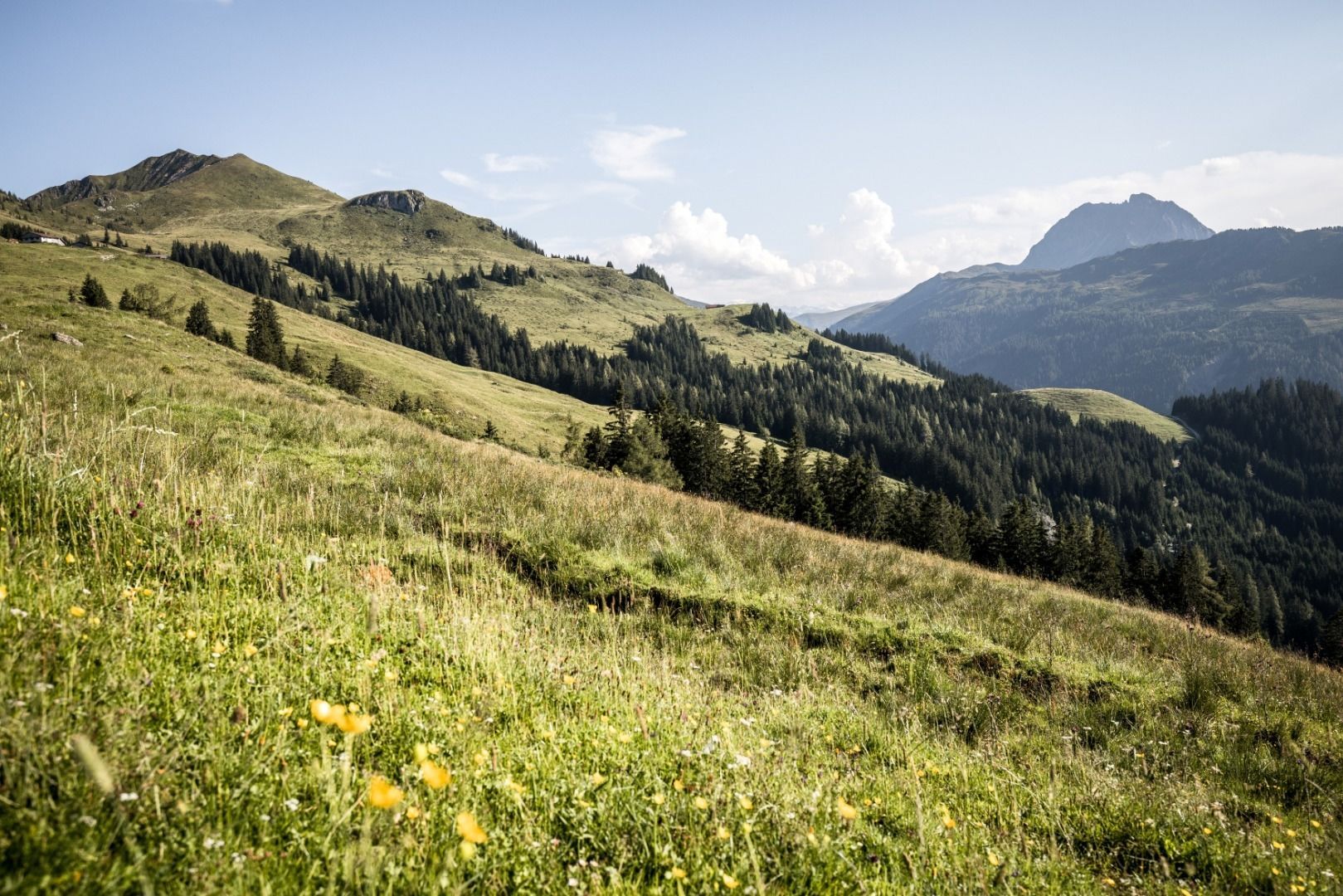
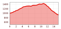
Starting point is the Spertental Kneipp facility in Aschau. From here hike left uphill to the Oberer Grund. After the barrier a slightly ascending forest road leads past the Grundalm to the Hirzeggalm/Spießnägel junction. Walk straight ahead to the Klooalm where we enter a beautiful Alpine pasture area. After the bridge turn left to the Rackstattalm and continue through pastures and woodland to the Seewaldalm. Here there is the possibility for a direct, steeper descent to Aschau. The Kruna and Hiesleggalm are two further highlights on the Aschauer Höhenweg. The Alpine path finally leads gently downhill past the Pengelstein I valley station to the Gasthof Skirast.
bus stop Aschau
Mobility in Brixental: https://www.kitzbueheler-alpen.com/de/bri/mobil.html
parking place Ebenau
parking place Kneippanlage


_FULL12.jpg")


 TVB Kitzbüheler Alpen-Brixental (7).jpg")

