
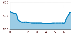
Difficulty:
medium
Length:
14.4 km
Duration:
6:00 h
Elevation uphill:
925 m
Bruck - Schlitters - Strass - Bruck
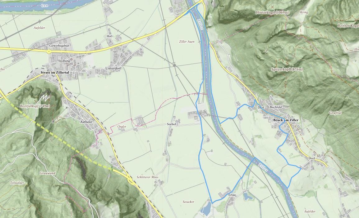
The route leads from the Municipal office into the valley, past the “Weather Cross” (Wetterkreuz) and on towards Imming, along the “Zilleruferweg” riverside path – at the river turn right and continue on the footpath as far as the footbridge to Schlitters. After crossing the bridge, go straight ahead as far as the Seecafé. At the Seecafé turn right towards Strass. Part of this cycle track and footpath to Strass runs beside the River Ziller. Pass Strass on your left and continue as far as the Tiroler Strasse. Cross the bridge to Bruck – after the bridge turn right and return to Bruck.
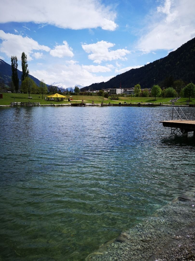
Stop off possibilities: Seecafe Schlitters
Manfred Pfister.jpg")
.jpg")

