

Difficulty:medium
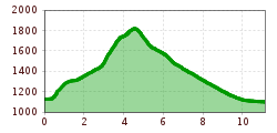
Length:13.0 kmDuration:7:00 hElevation uphill:1,054 m
Short description:A hike with a magnificent panorama.Quality of experience: ******Recommended season:MayJuneJulyAugustSeptemberOctoberProperties:Refreshment stops availableFamily friendlyGeological highlightsBotanical highlightsFaunistic highlightsCableway ascent/descent
Description:
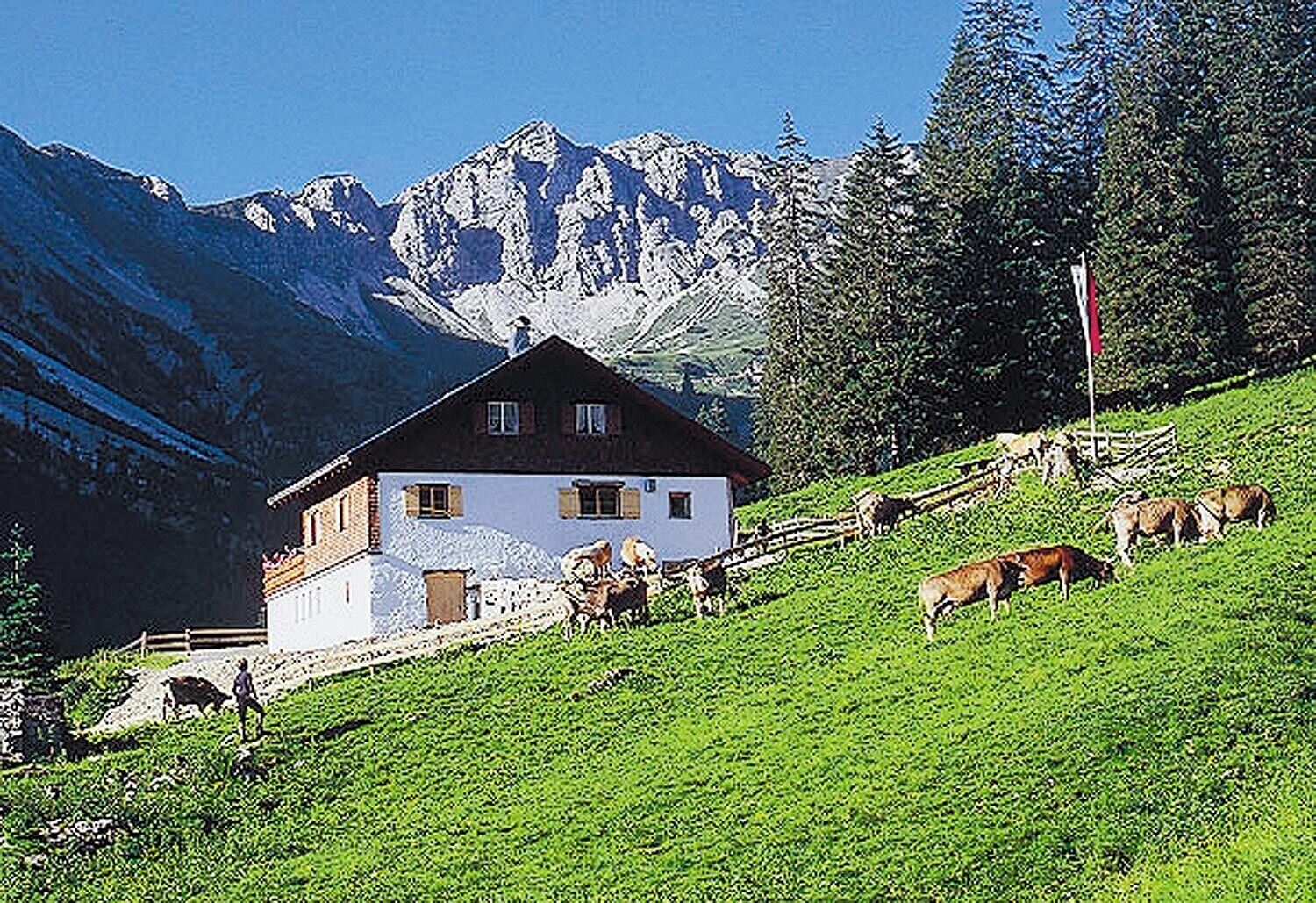
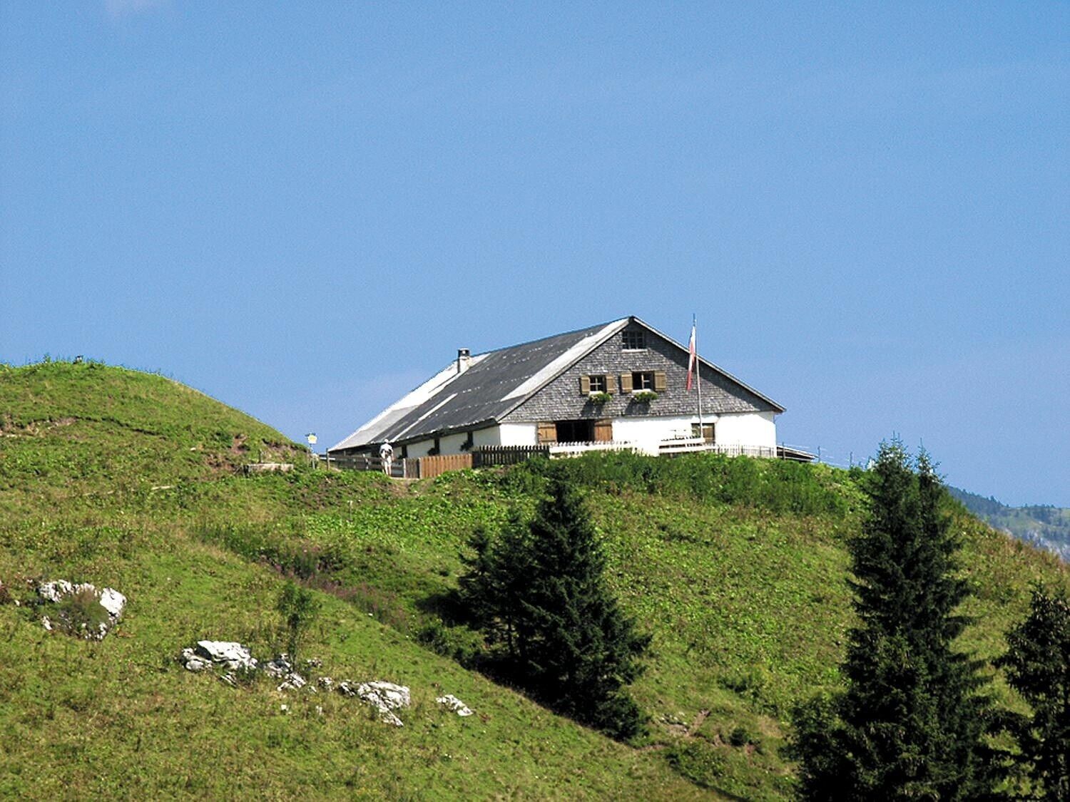
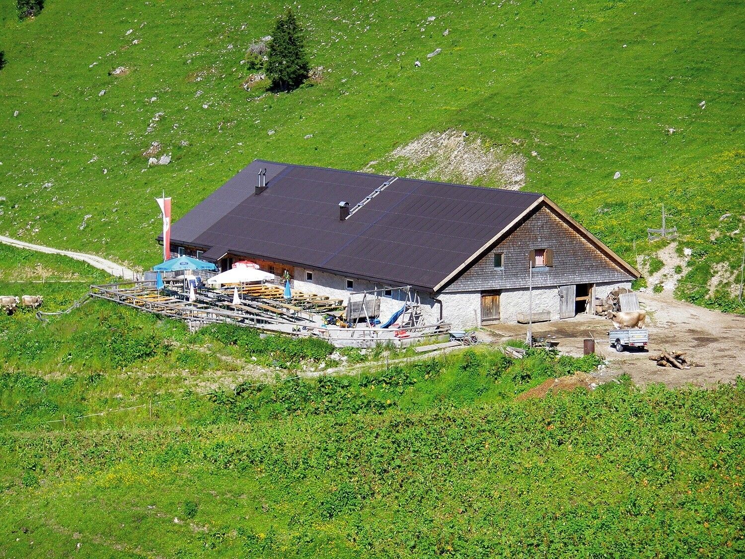
There are three different alpine pastures or huts along the trail. Enjoy the peace and quiet of nature with a tasty snack, hearty home cooking or coffee and cake.Directions:
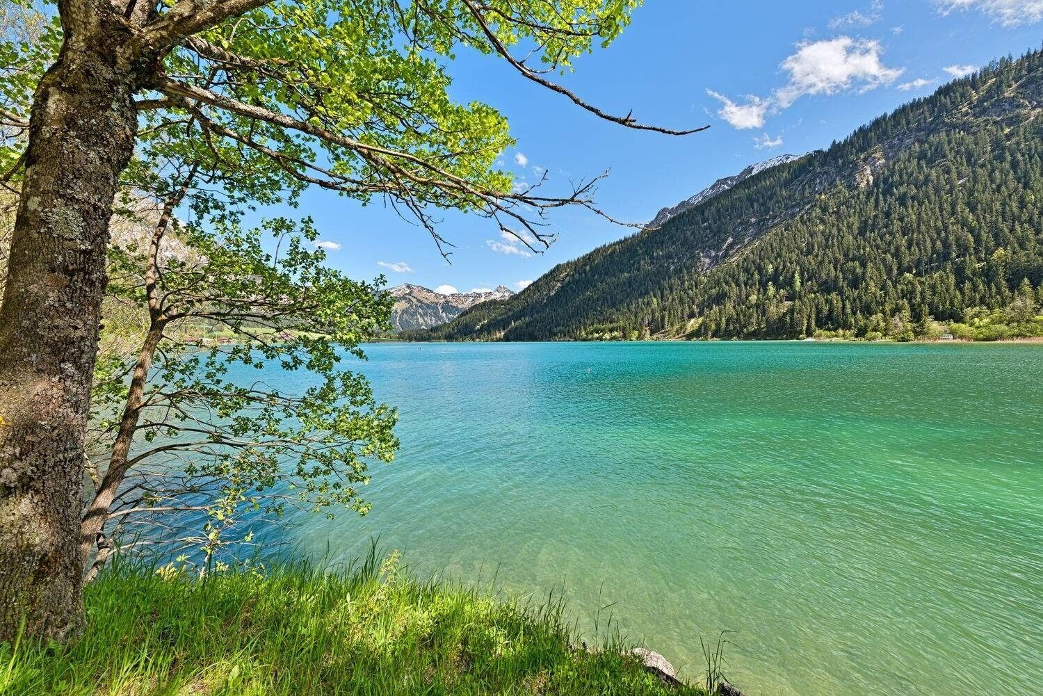
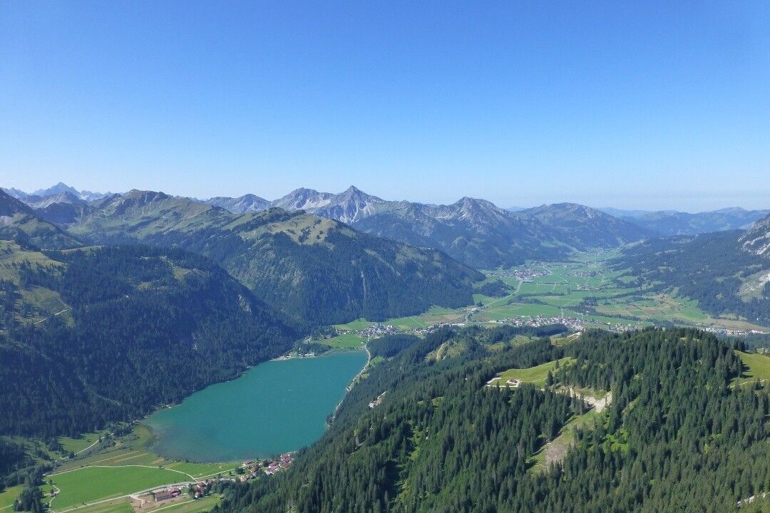
The tour starts at the paid parking lot at Haldensee. This can also be easily reached with the hiking bus. The trail leads us in the direction of Edenbachalpe/Strindenalpe through the Strindental valley with a view of the crystal-clear, green-blue shimmering Haldensee. First we reach the Edenbachalpe, behind the alpine pasture a path leads us further along the Saalfelder Höhenweg towards the upper Strindenalpe. Once there, the descent runs towards Usseralpe. On the forest path you can take a leisurely descent - take a look at the Urfall (waterfall) - and continue via the hamlets of Schmieden/Bogen to Tannheim. Or you can walk from the Usseralpe to the top station at Neunerköpfle and from there take the cable car down to the valley. (Last descent 16:15 hrs)Tip:
From the Usseralpe, one of the few alpine cheese dairies, it is also possible to continue hiking in the direction of Neunerköpfle and choose the descent with the 8-seater gondola from the top station.Safety guidelines:
Generally applicable and customary rules of conduct
It should be noted that in mountaineering there is an increased risk of accidents and injuries. Despite careful route planning, a basic risk always remains. Tour preparation through endurance sports, appropriate technical training and further education as well as personal prudence reduces the danger of accidents and risks. However, please never forget that the weather in the mountains can change very quickly. Stay on the marked hiking trails.
Equipment:


