
Opening hours:Today closed
Place:Ellmau
:Alpine pasture / hut / mountain restaurant
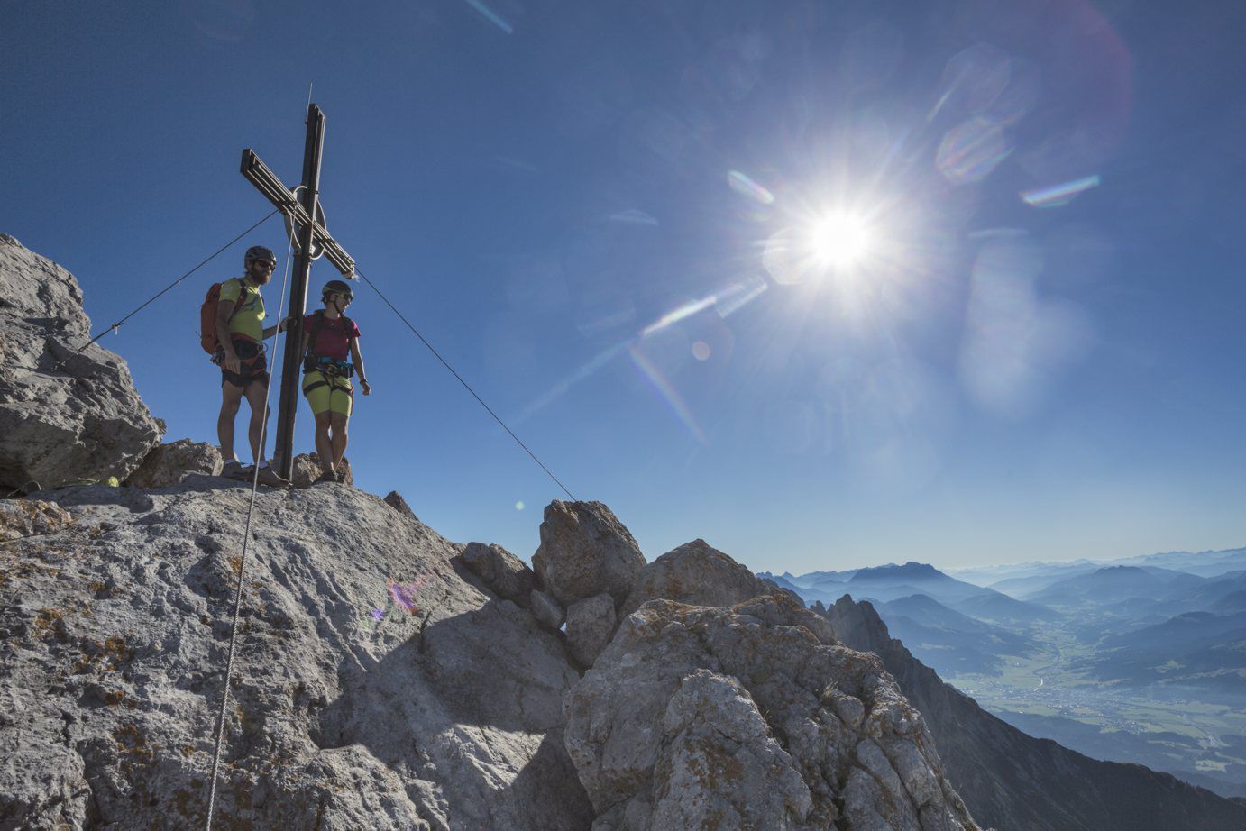
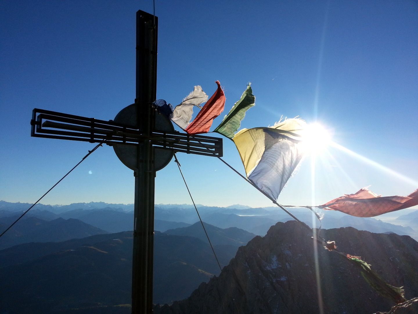
A demanding mountain tour with some ferrata passages up to the highest summit in the Wilder Kaiser (2,344 m).


Ascent:
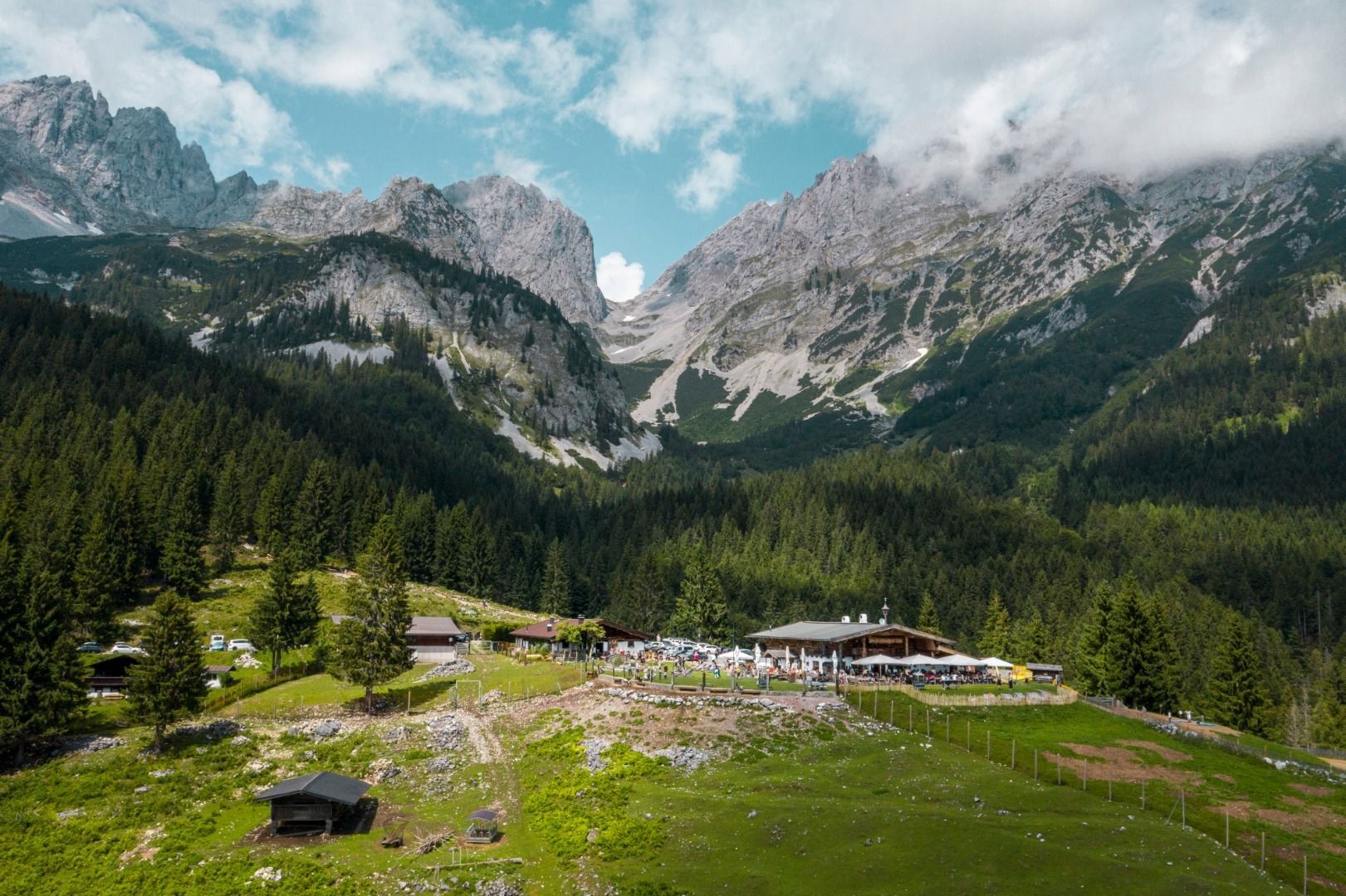
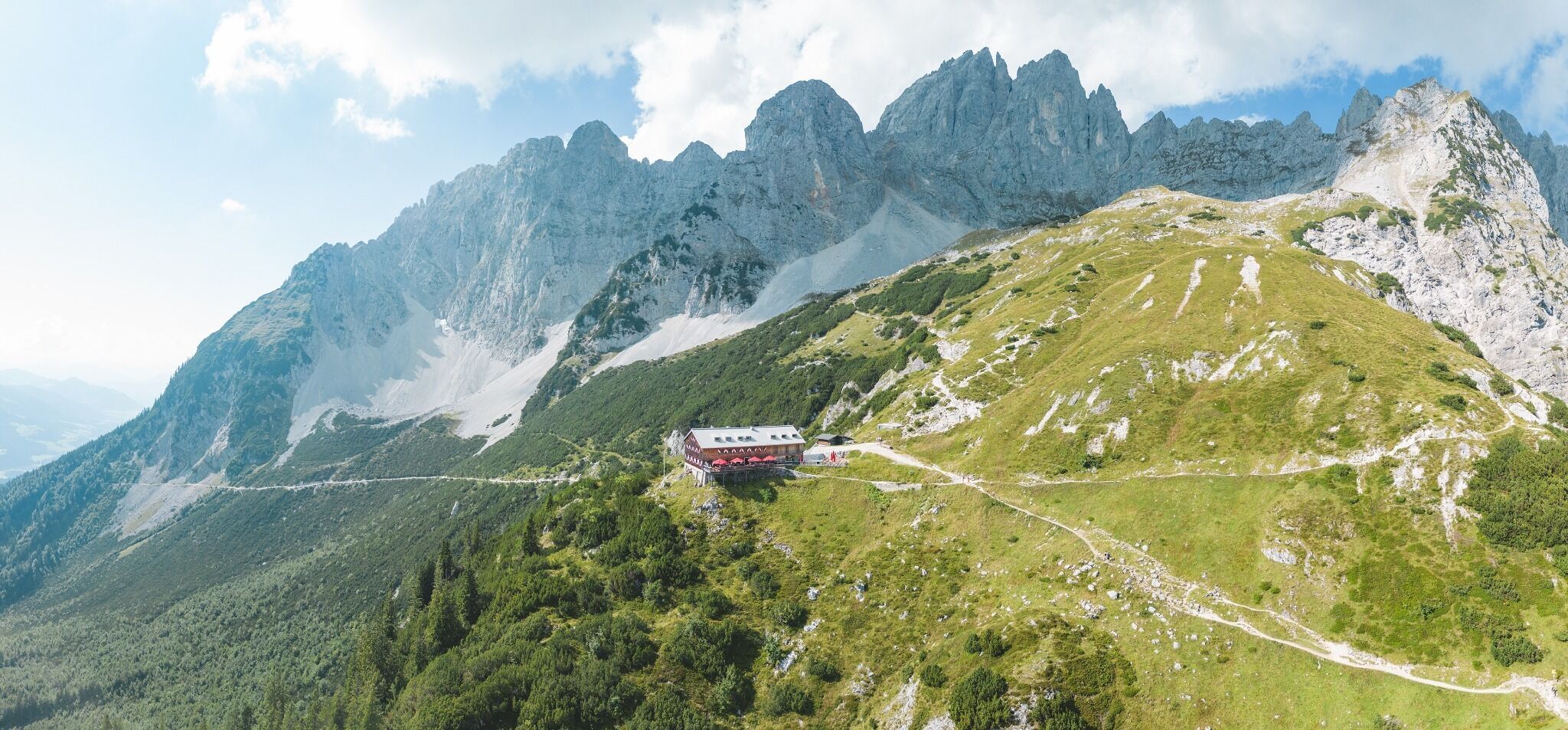
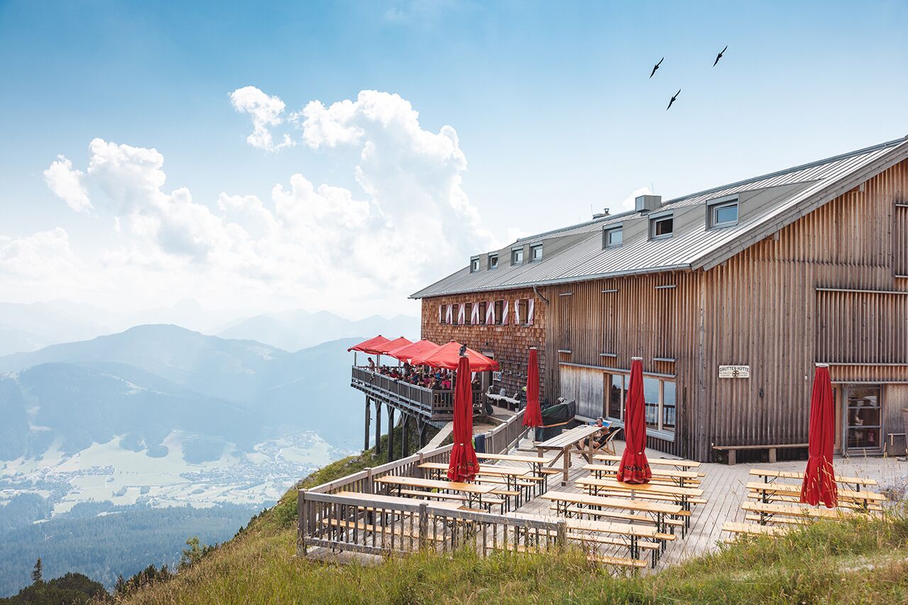
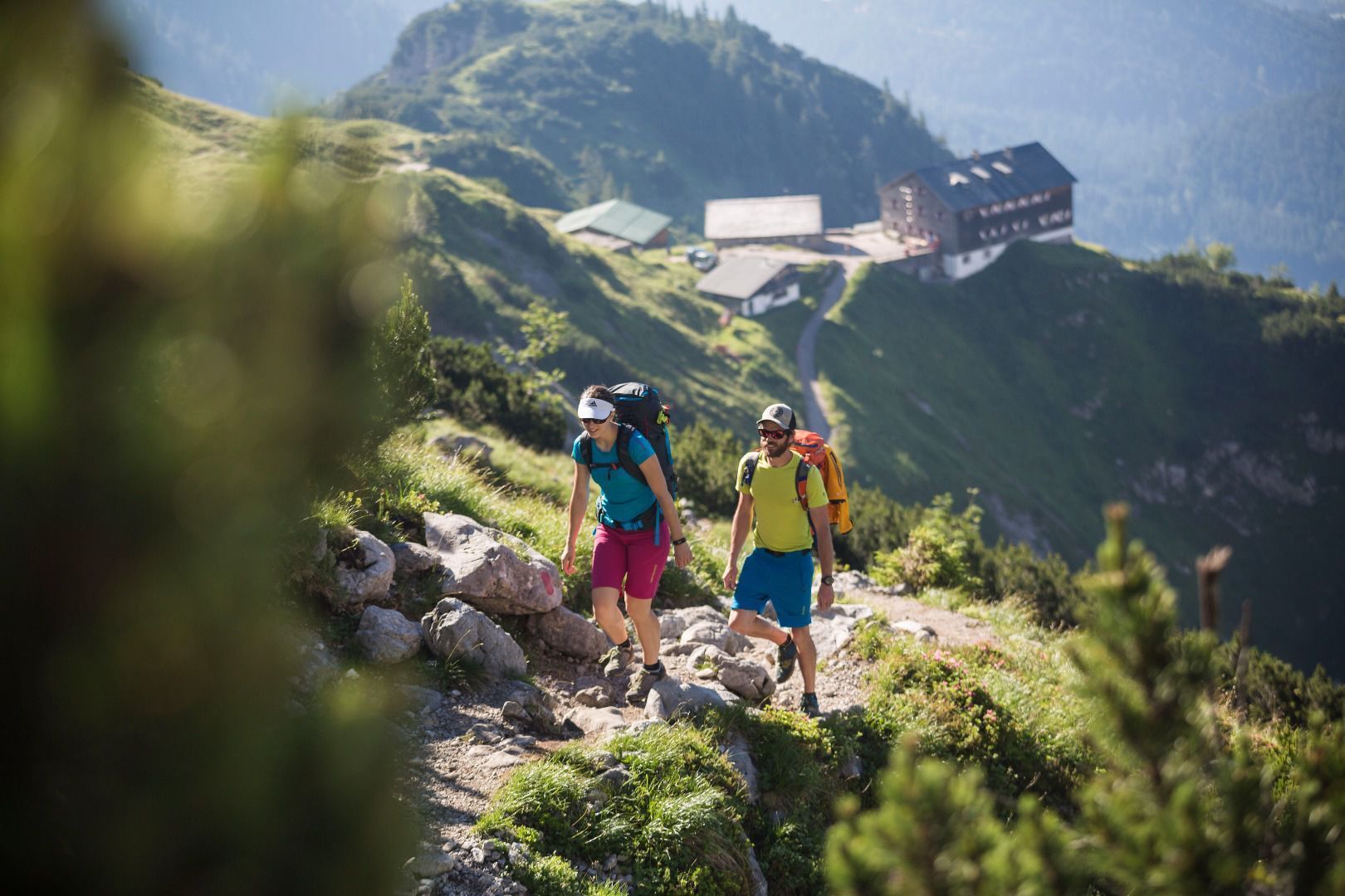
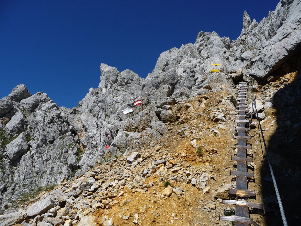
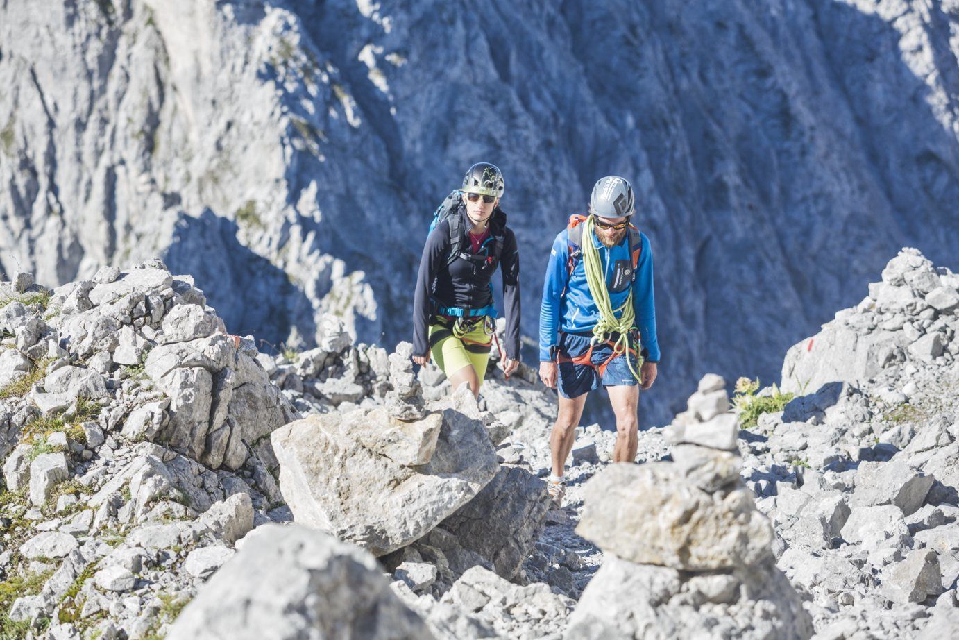
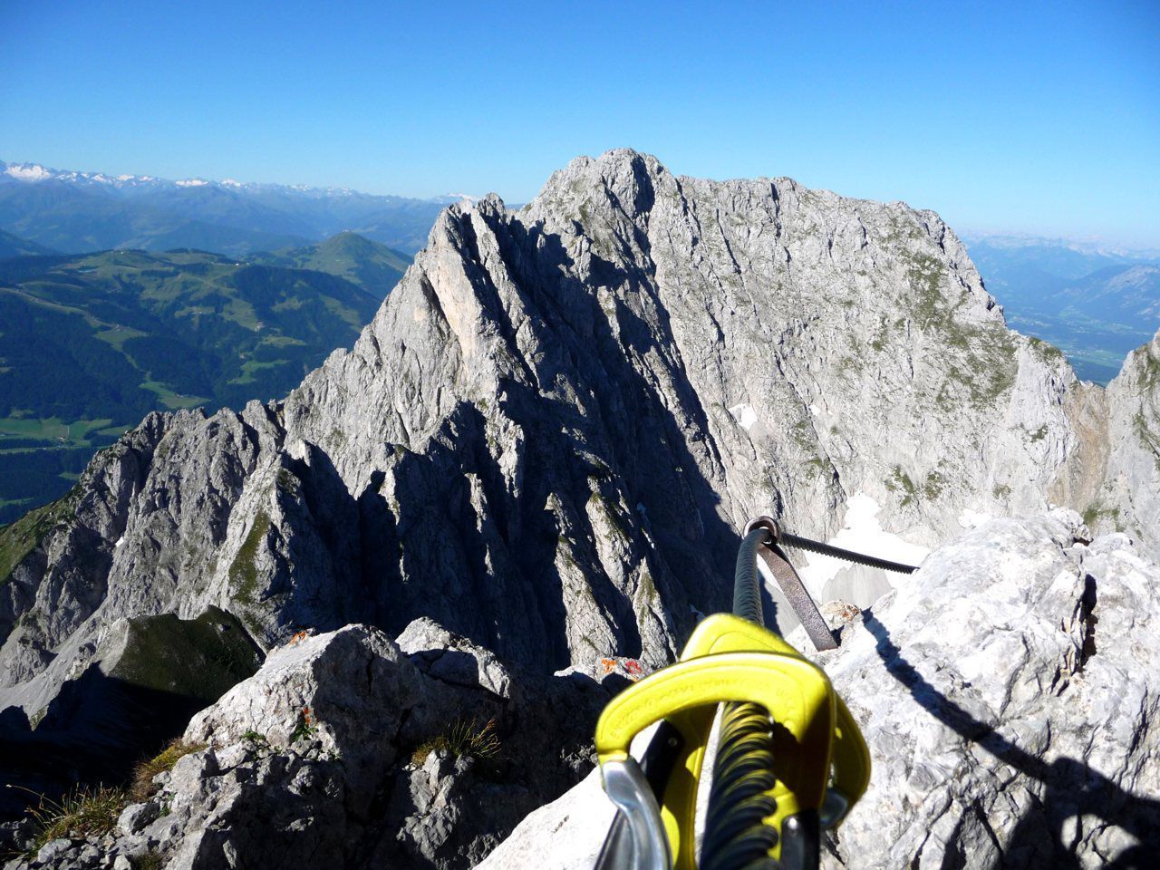
The normal route to the highest peak of the Kaisergebirge begins at the starting point of the hike at the Wochenbrunner Alm. Here you first follow trail 825 to the Gruttenhütte. After a short break, you will ascend to the large gravel cirque "Hochgrubach". On the following ascent via the Gamsängersteig there is great danger from falling rocks due to mountaineers ahead. In the first section of the climb, you will cross steep, rocky and grass-interspersed, fragile terrain (scree terrain - only partially secured with steel ropes) until you reach the Jägerwand steps with over 70 treads a little below the Rote Rinnscharte passage. Afterwards, the trail leads over several rope-secured passages to a parting of the ways. Here there are two options, once left through a narrow gorge and over a short vertical ladder or over to the right very exposed along steel cables to a rock terrace. From here you climb over more rock steps and past the Babenstuberhütte (Notbiwak) to the summit. Enjoy the fantastic 360° panorama from the highest point in the Kaisergebirge.
(Ascent from the Gruttenhütte mountain hut to the summit in about 2.5 hours).
Attention - snowfields can often be expected until well into the summer!
Descent:
as ascent
Prerequisite: No fear of heights and surefootedness as well as alpine experience and good physical condition are absolutely necessary! HELM (Danger of falling rocks!)
Recommendation: climbing harness & via ferrata set
TIP:
Fridays - guided tour with a state-certified mountain guide.
Inform yourself about Details, dates and registration.
The free hikers’ bus runs daily in summer between the Ellmau Dorf/Bauhof bus stop the trailhead of the hike to the Wochenbrunner Alm Alpine hut. Passengers can change to/from the KaiserJet and regular buses at the Ellmau Dorf/Bauhof bus stop.
More information at: www.wilderkaiser.info
Wochenbrunner Alm mountain hut, Ellmau (1,085 m) – pay & display


