

Difficulty:difficult
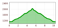
Length:85.1 kmDuration:35:00 hElevation uphill:6,805 m
Short description:Down from the valley the Litnisschrofen (2068m) is almost not visible. Seen from surrounding peaks such as the Krinnespitze or the Neunerköpfle, the isolated standing one with its distinctive Schrofen wall catches the eye.Quality of experience: ******Recommended season:MayJuneJulyAugustSeptemberOctoberProperties:Round tripScenicRefreshment stops availableBotanical highlightsSummit route
Description:
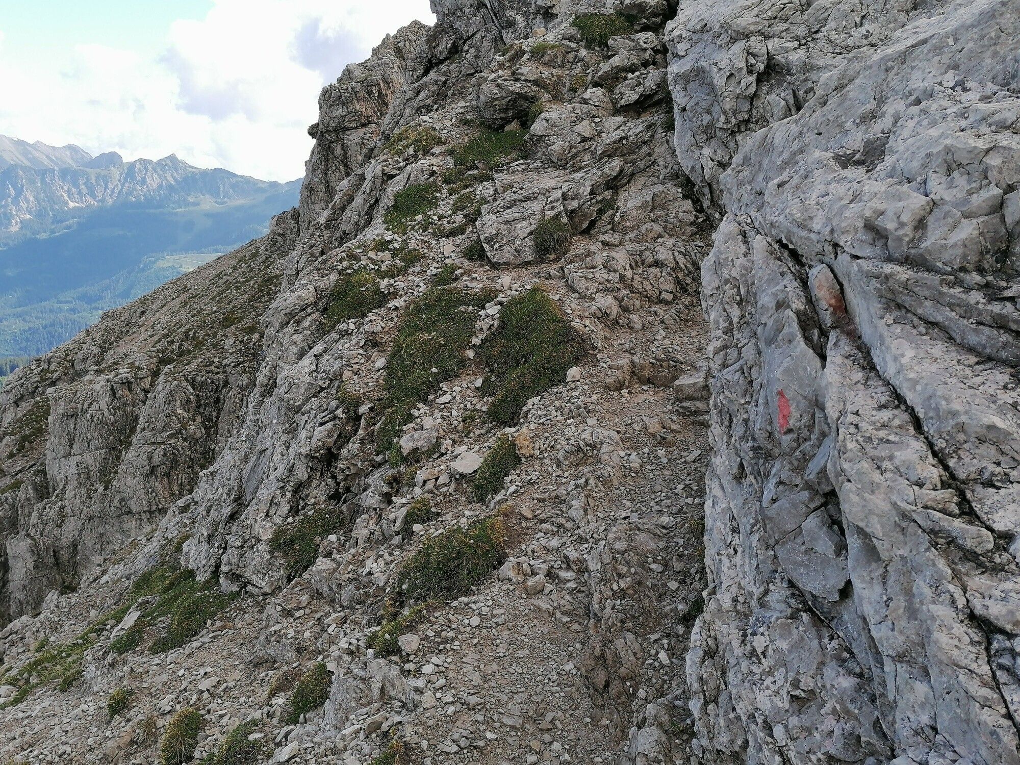
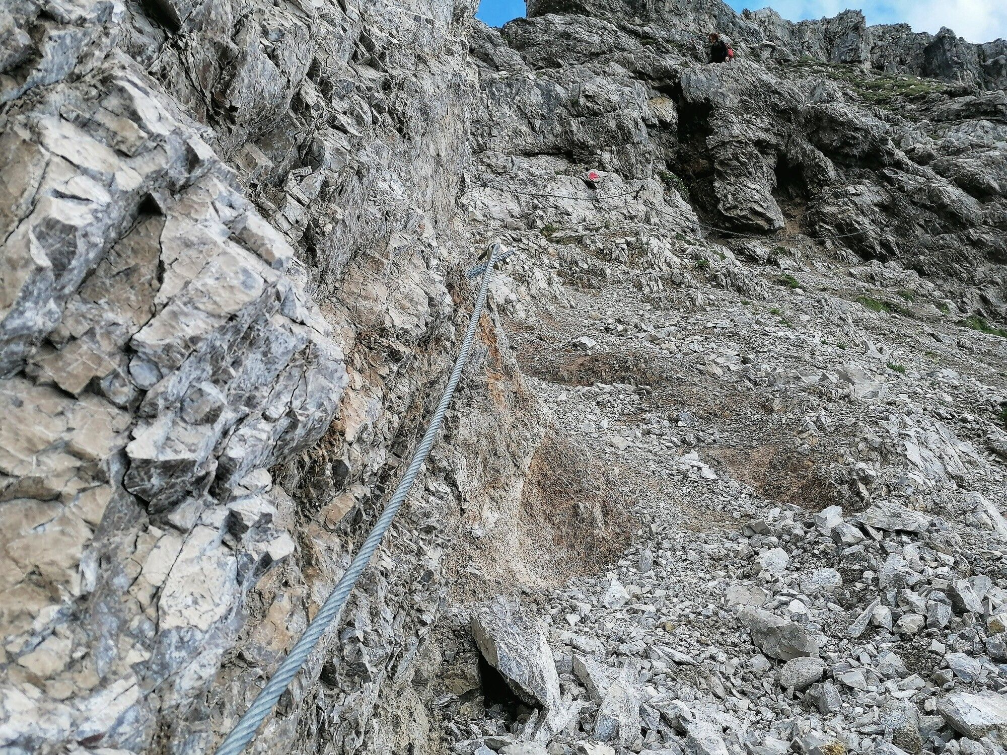
Demanding tour, danger of falling - requires absolute surefootedness and a head for heights.Directions:
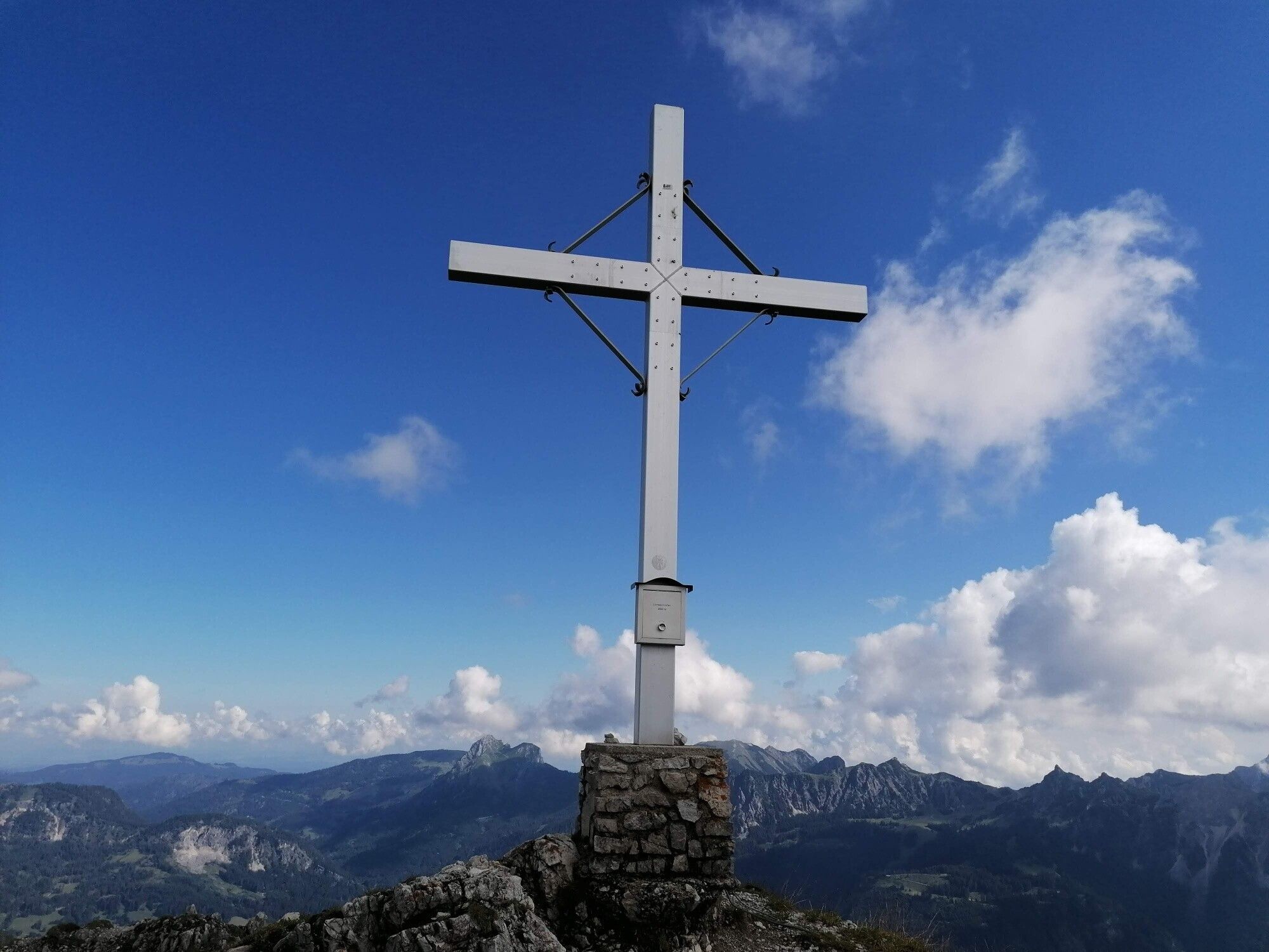
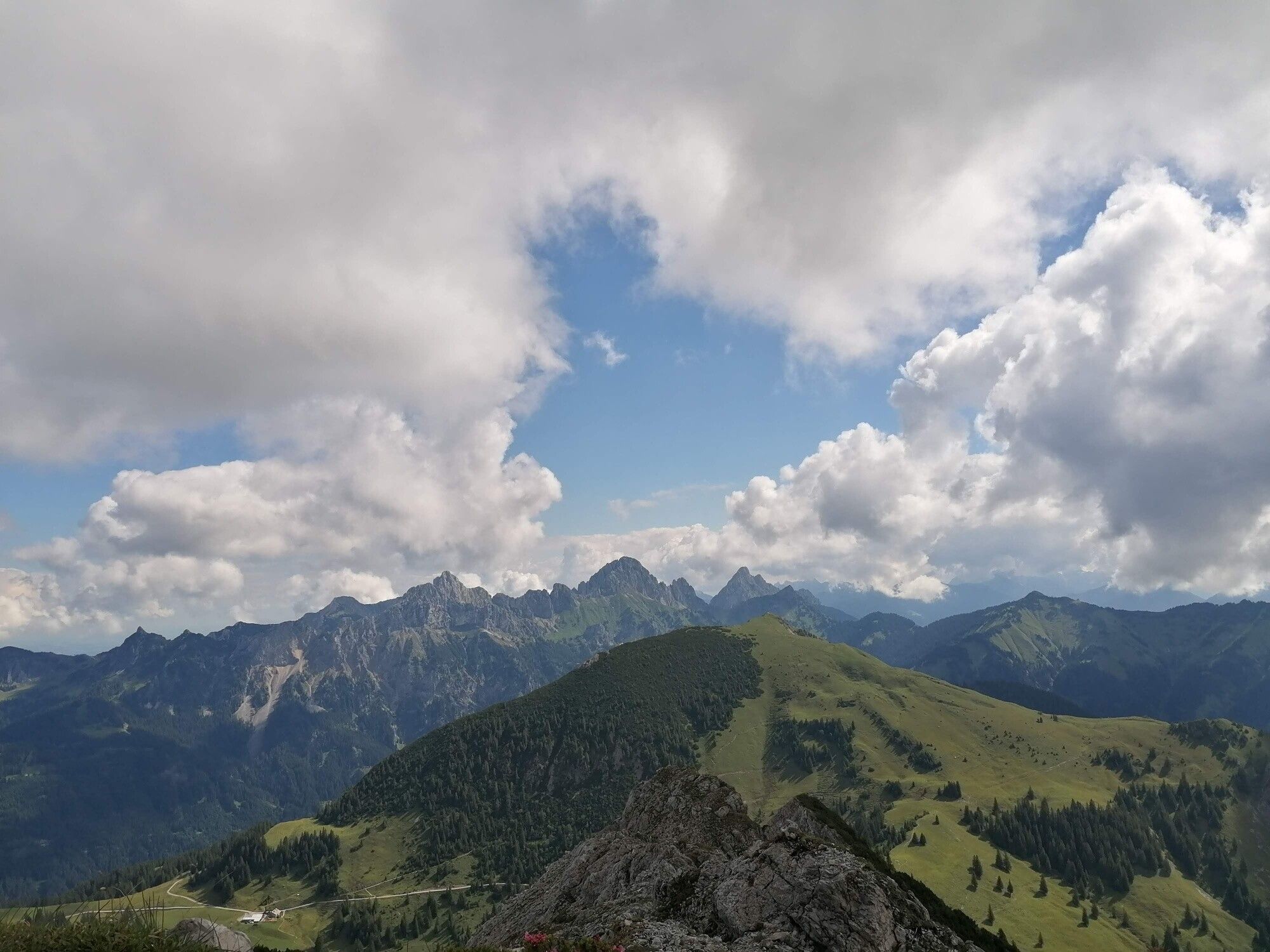
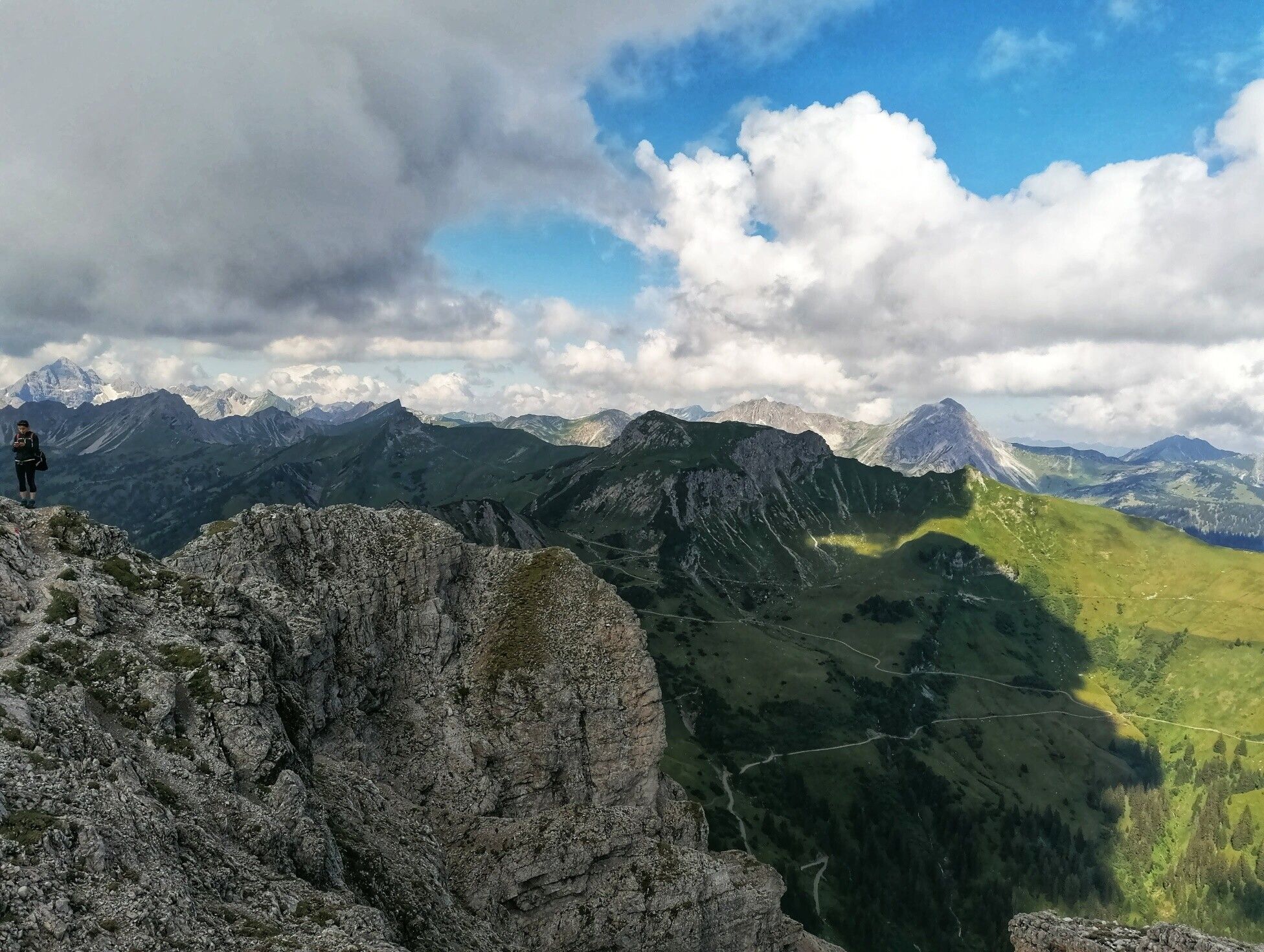
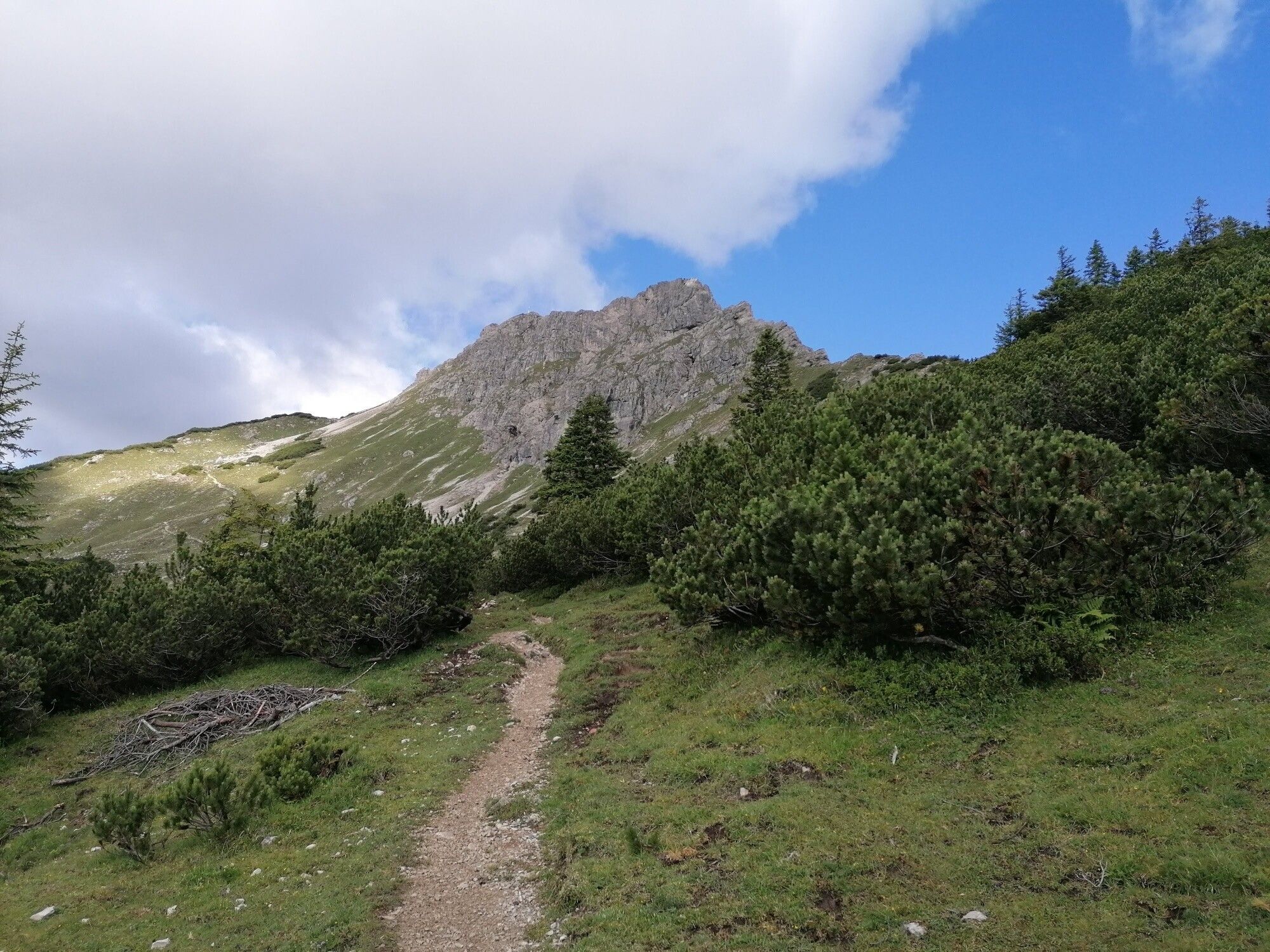
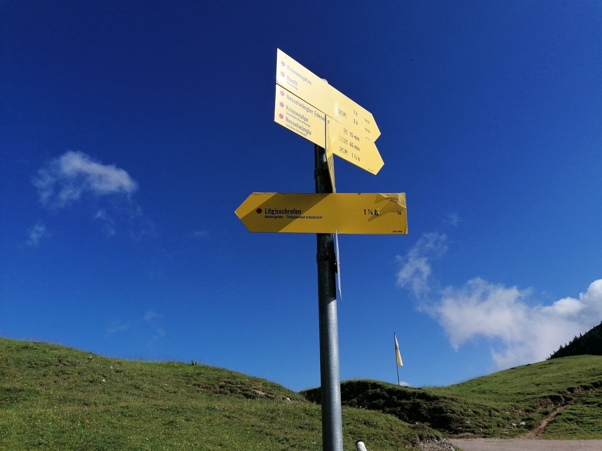
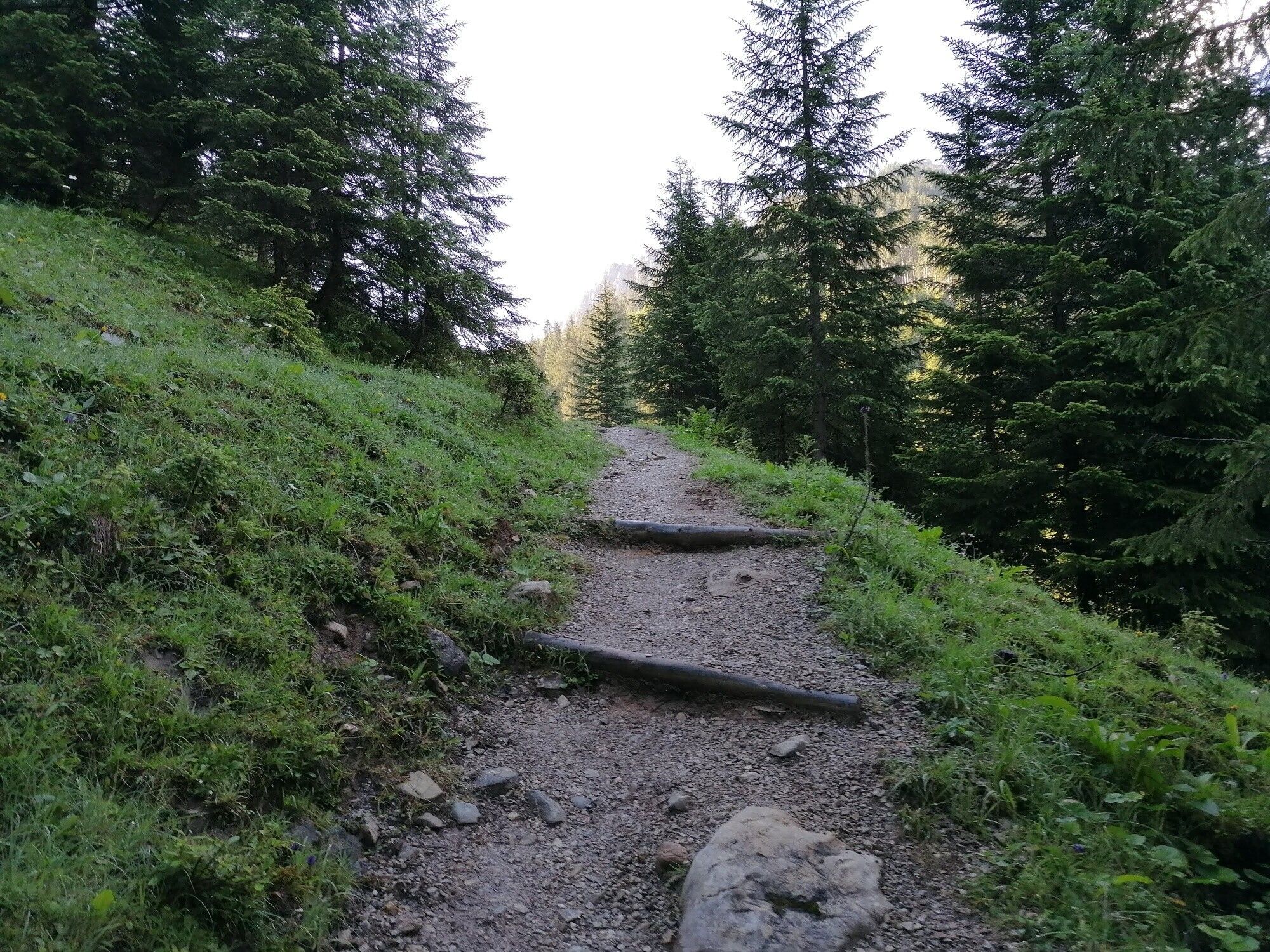
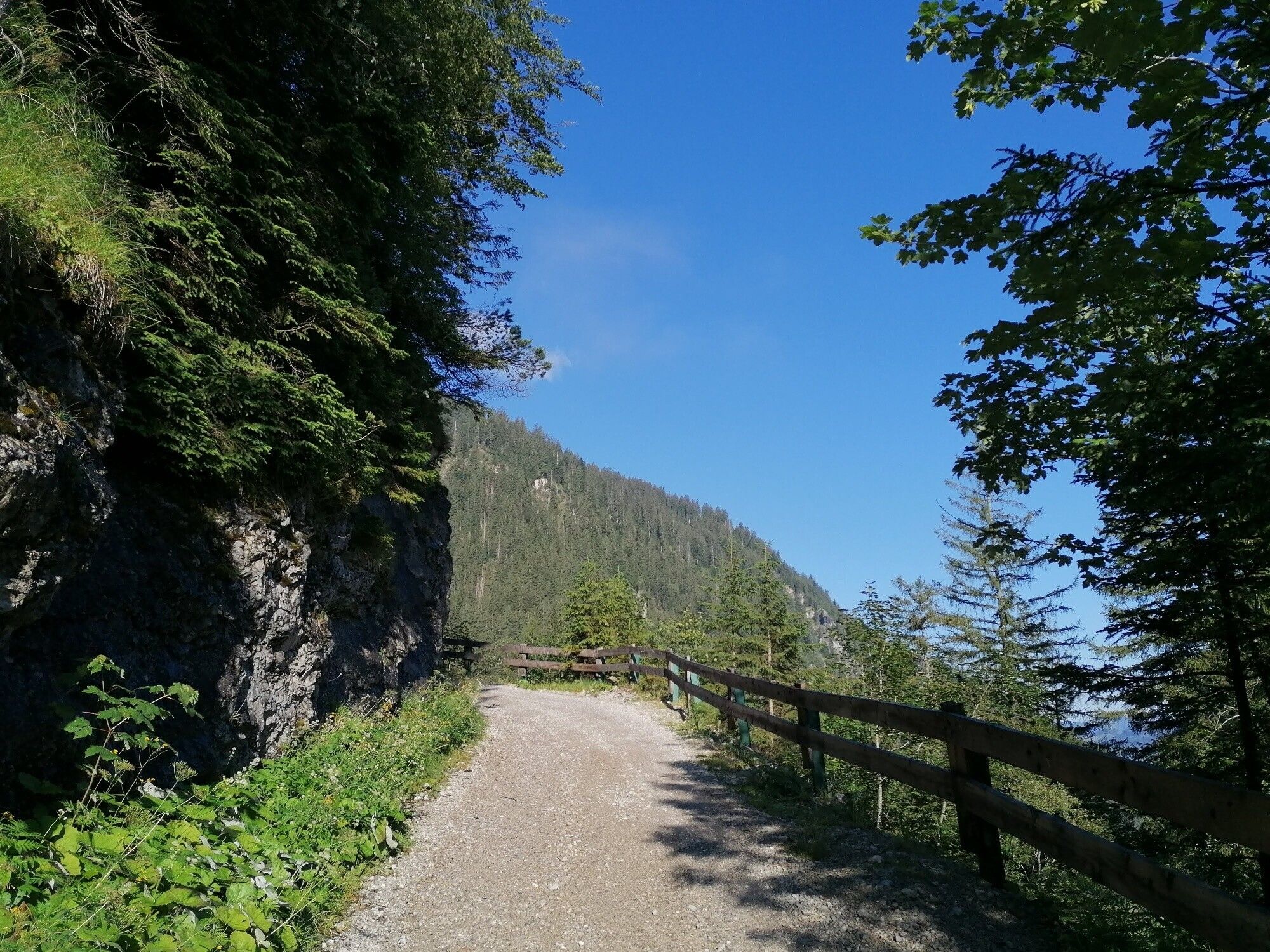
From the lake parking lot or the Haldensee bus stop, walk past Tauscher's Alm and take the forest path to the extreme right into Strindental. This turns into a path after approx. 30 minutes' walk. Shortly below the Gräner Ödenalpe, the route runs along a forest path again. This branches off from the road at Gräner Ödenalpe and runs over slopes and between mountain pines uphill below the rocks towards the summit cross. The last section leads over steep, rocky terrain secured with wire ropes. Here you need to be absolutely sure-footed and have a head for heights. Once you reach the summit, you will be rewarded with a fantastic view of the surrounding mountain panorama.
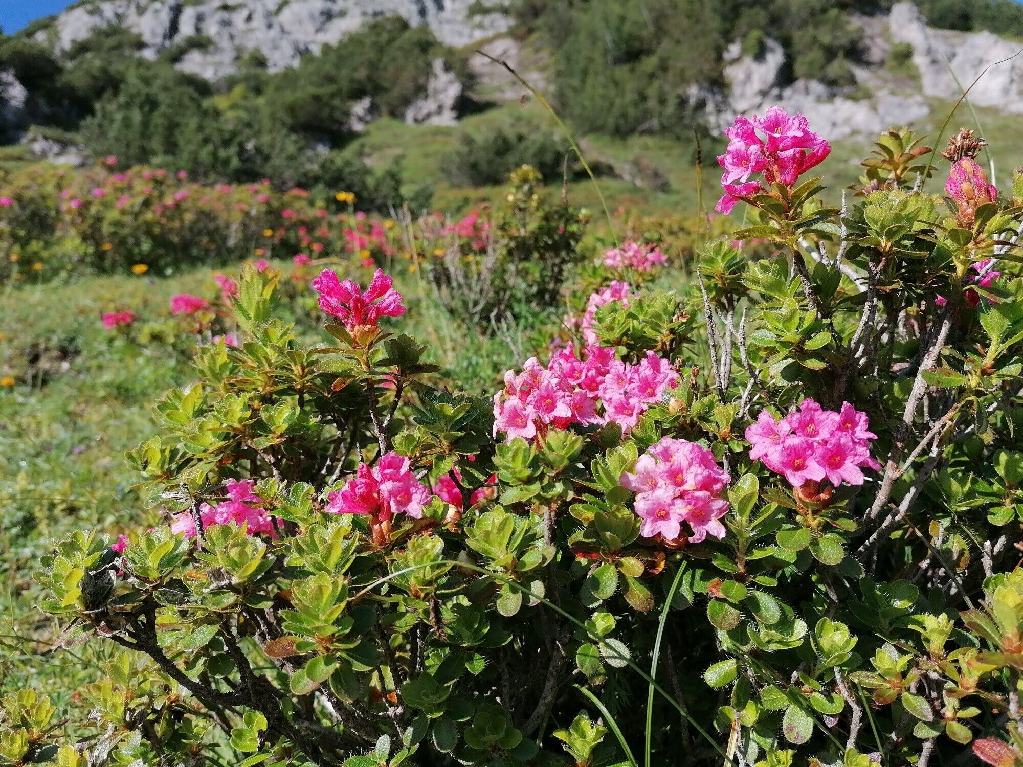
Descent option (variant): Gräner Ödenalpe - Nesselwänger Edenalpe - via the Alpenrosenweg to the Krinnenalpe - with the Krinnenalplift (chairlift) from the mountain station to the valley station or the complete descent on foot.
Tip:General valid and usual rules of conduct! it should be noted that in mountain sports there is an increased risk of accidents and injuries. Despite careful route planning, a basic risk always remains. Tour preparation through endurance sports, appropriate technical training and further education as well as personal prudence reduces the risk of accidents and injuries. But please never forget that the weather in the mountains can change very quickly. Stay on the marked hiking trails.
Equipment:Tourist office Tannheimer Tal
Gräner Ödenalpe


