
Difficulty:
medium
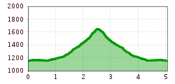
Length:
35.0 km
Duration:
15:00 h
Elevation uphill:
2,200 m
Short description:A wonderful hike at the foot of the climbing mountains of the Tannheimer Group.Quality of experience: *****Recommended season:MayJuneJulyAugustSeptemberOctoberProperties:Round tripLoopScenicRefreshment stops availableBotanical highlightsFaunistic highlights

Description:
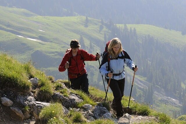
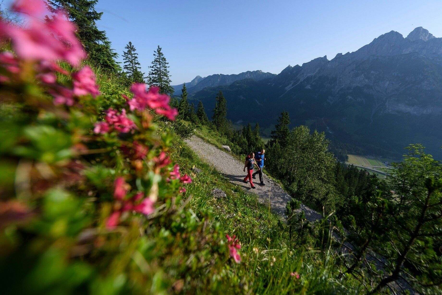
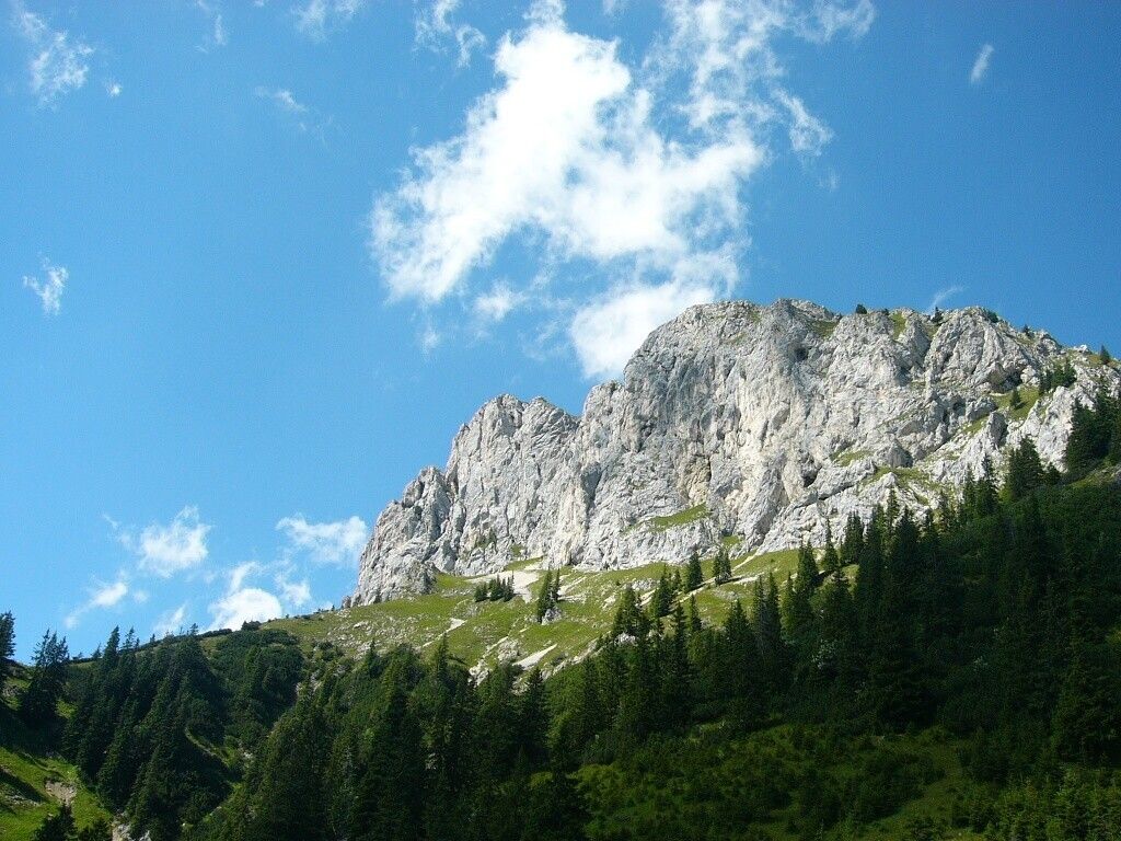
Not only is the view into the valley breathtaking, but also the view upwards at the rear rock walls with countless climbing routes amazes you.
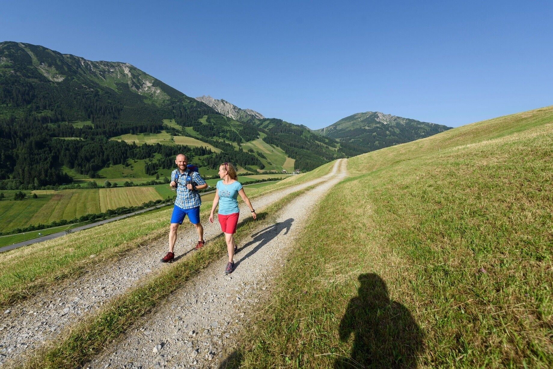
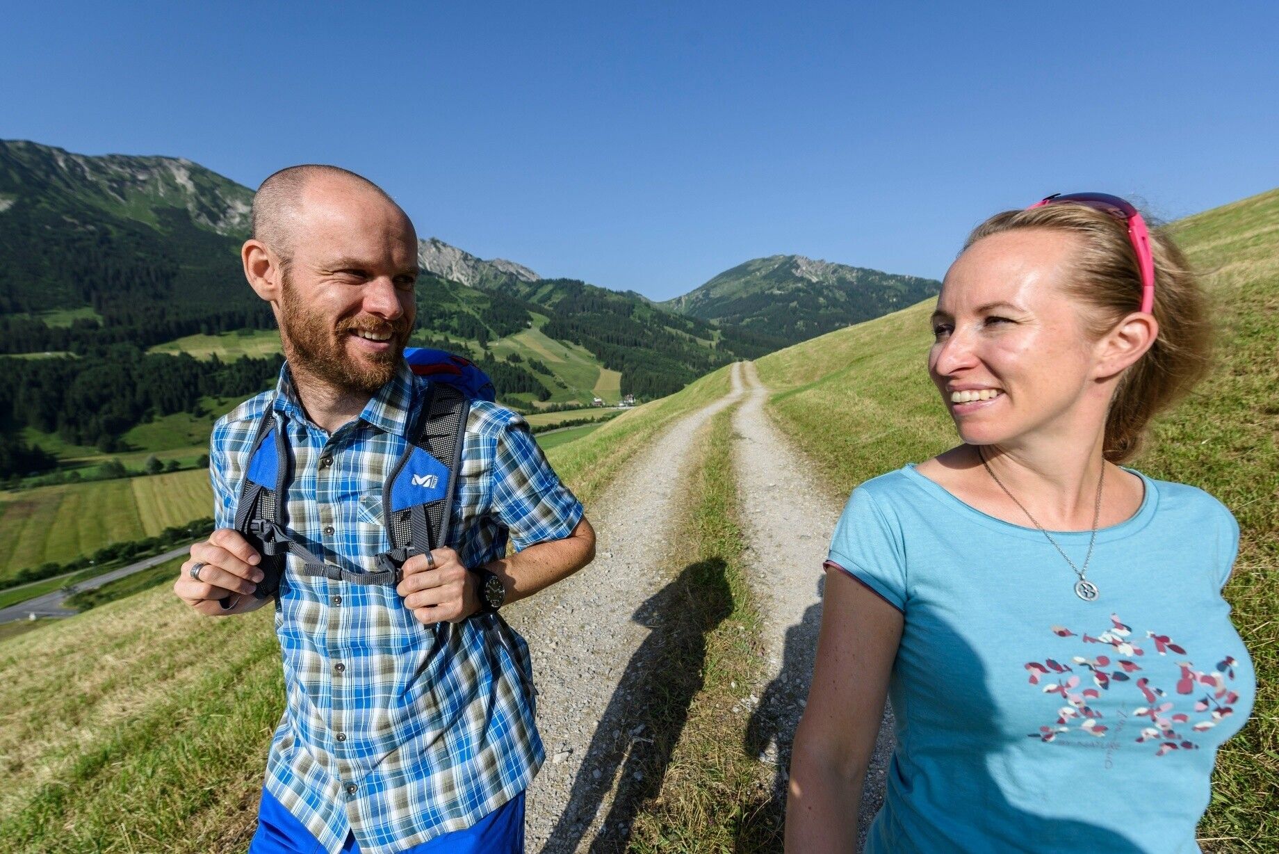
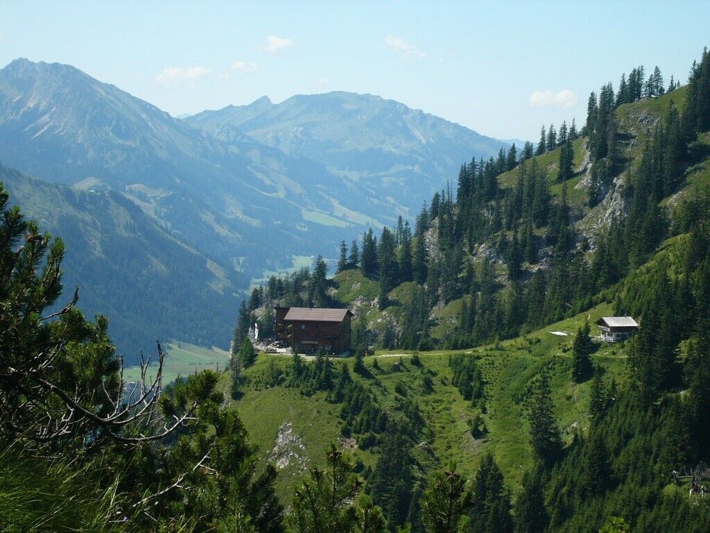
Directions:From the west parking lot in Nesselwängle, the path leads above the village for about 1 km relatively flat towards the east. Then the path winds with some stair steps but is easy to walk until reaching the Gimpelhaus. The hike is rewarded with great views. You would not necessarily expect the Gimpelhaus here at the top with its architecture and equipment. The climbing mountains of the Tannheimer Group in the background of the Gimpelhaus contribute to making this point of the Tannheimer Valley so beautiful. The Gimpelhaus is the starting point for many hikes, mountain, and climbing routes. Gimpel and Rote Flüh, Friedberger Klettersteig or the via ferrata at the Köllenspitze, and the surrounding huts are just some of them. The descent back to Nesselwängle is via the same path we came, as the route via Schneetalalm seems too long. Total walking time about 5 1/4 hours.
Tip:
.jpg")
