")
Difficulty:difficult
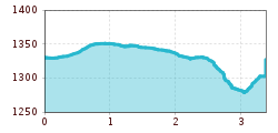
Length:84.5 kmDuration:45:00 hElevation uphill:6,773 m
Very nice, sunny family hike.
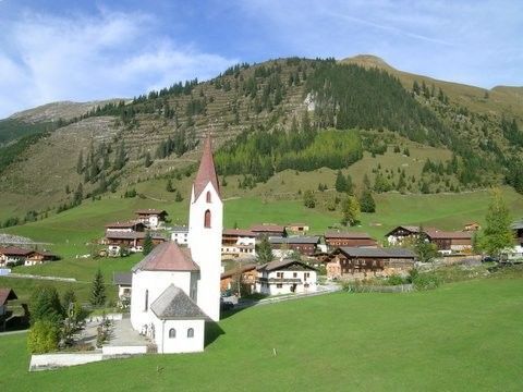
Starting from the village hall, the forest path leads you along the Otterbach stream in the direction of Branntweinböden. You walk along flowering alpine meadows, then walk along the edge of the forest to the bridge, cross it and descend slightly back to the village.


