
Difficulty:medium
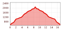
Length:14.4 kmDuration:6:00 hElevation uphill:925 m
Hart - Bachleralm - Hamberg (Trail No. 12)
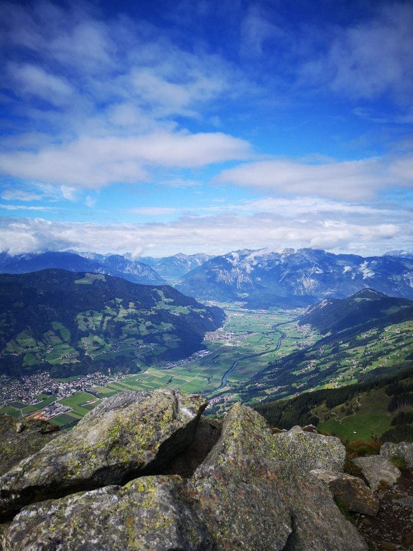
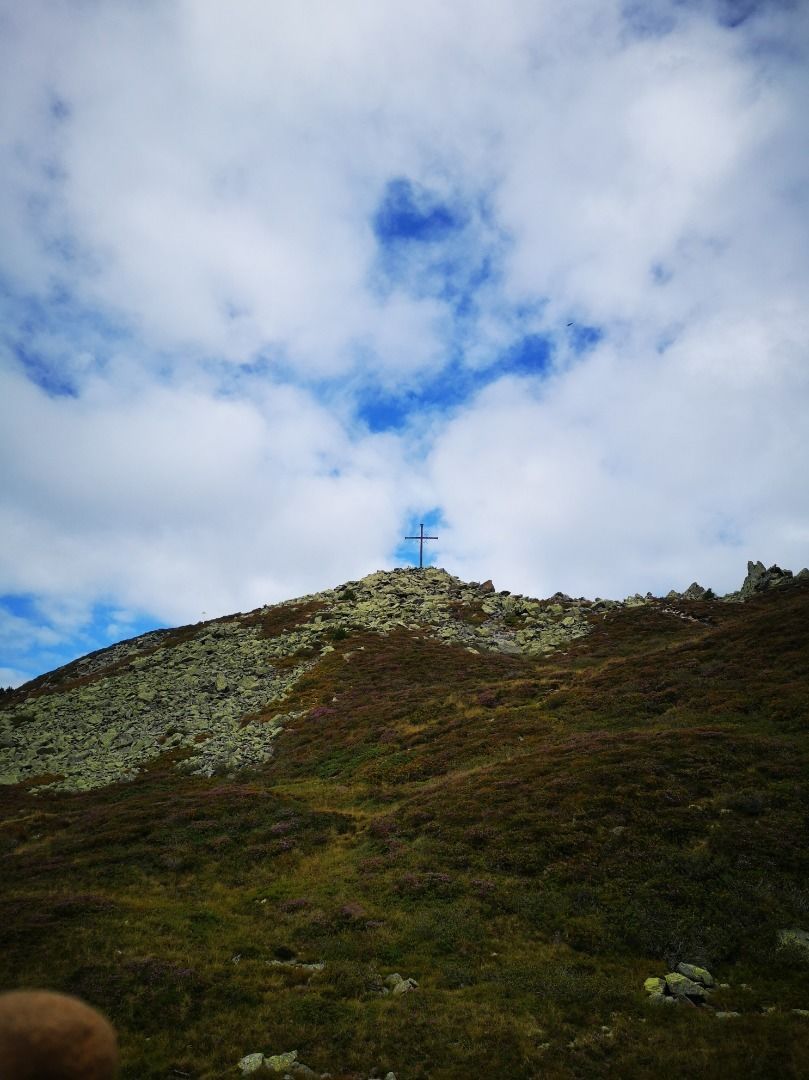
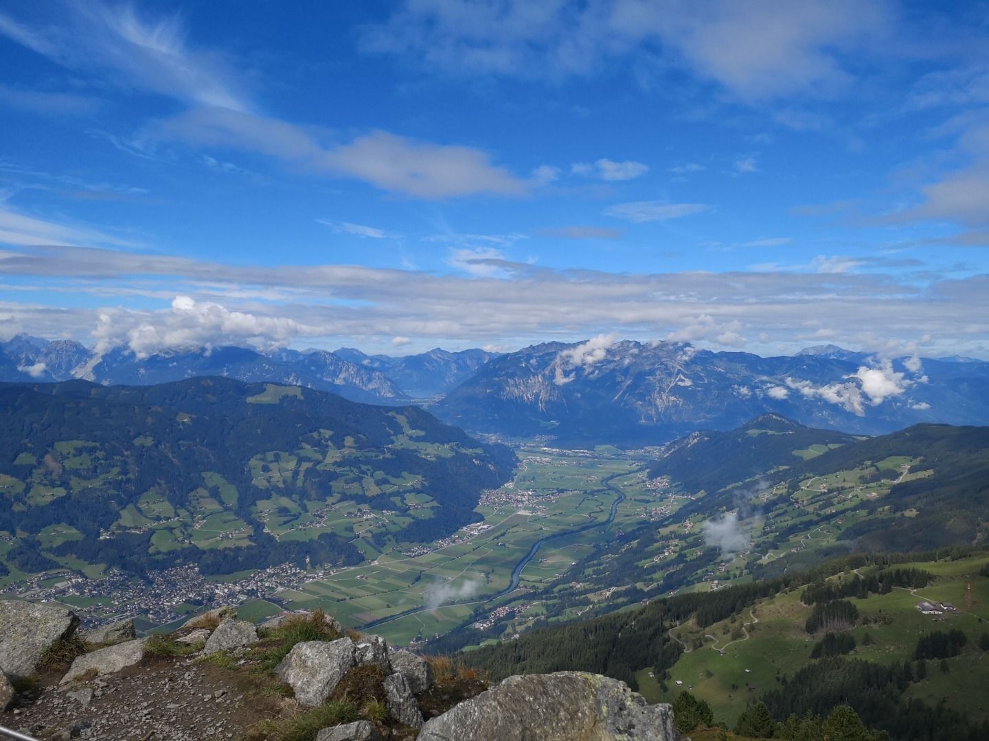
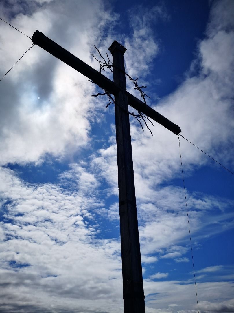
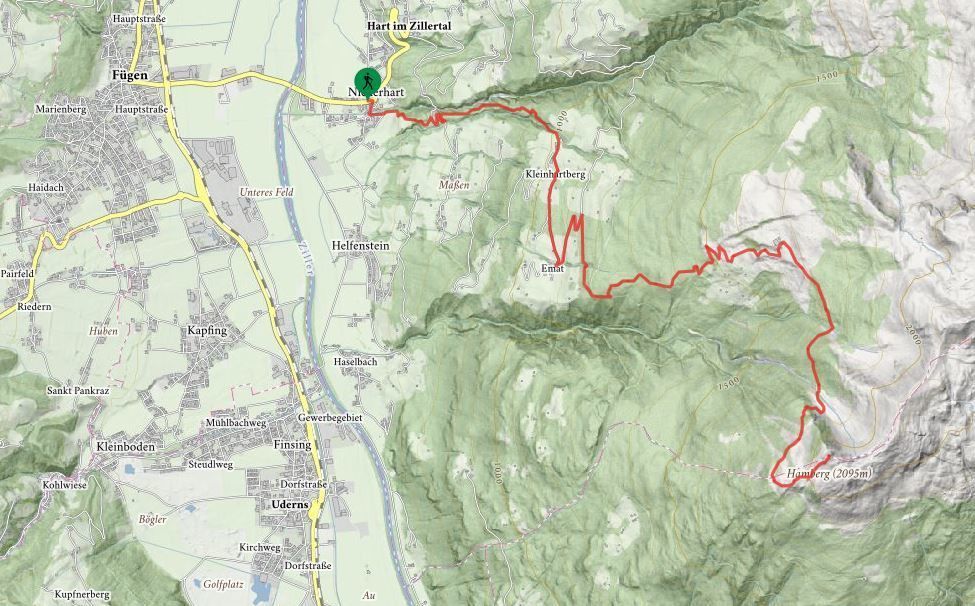
Turn right behind the Gasthof Hamberg (Niederhart) - continue until the bridge over the stream. Then turn left and walk up the steeply rising track. After about 1 ½ hours you will come to the “Hinterstein” farmhouse. Turn right from the farmhouse and head towards Emat – follow the signs toward Bachleralm-Hamberg along the local road (approx. 2 hours). From the Bachleralm on the right following the red marking towards Hamberg - in approx. 2 hours you will reach the summit cross of the Hamberg mountain. Please note: there are no refreshments available on the Bachler- and Hansletalm, so remember to take drinks and food.
.jpg")
Manfred Pfister.jpg")

