
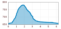
Difficulty:
medium
Length:
8.5 km
Duration:
3:00 h
Elevation uphill:
370 m
Hike to St Petersberg Castle
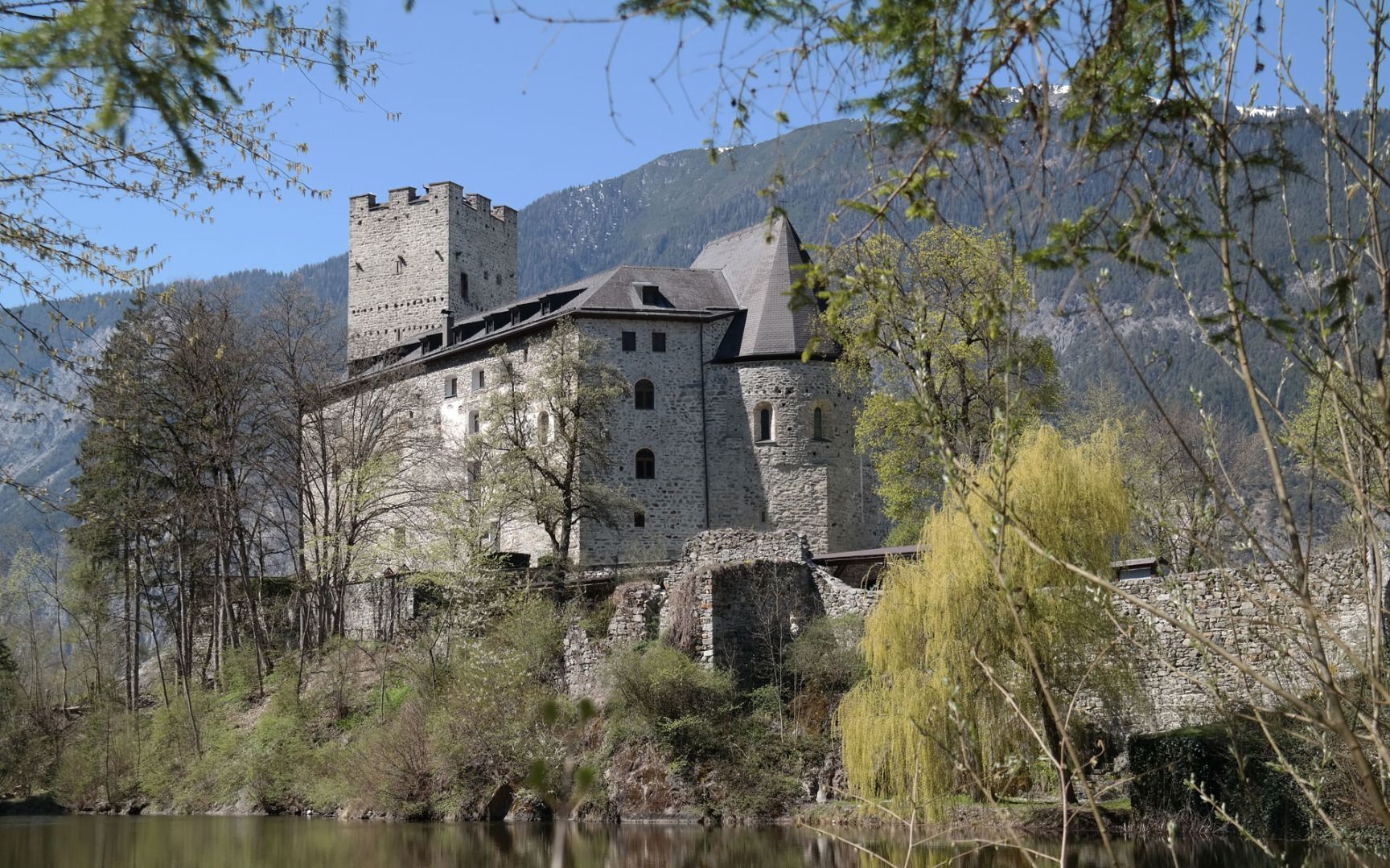
Start at the school car park and follow the road towards the shooting range before continuing uphill to the waterfall where you'll find a small freshwater pond and places to sit or lounge and relax. From there, follow the signs for "Schloss Petersberg" (Petersberg Castle) and the red-and-white trail markings until you reach the castle, which is privately owned and can only be viewed from the outside.
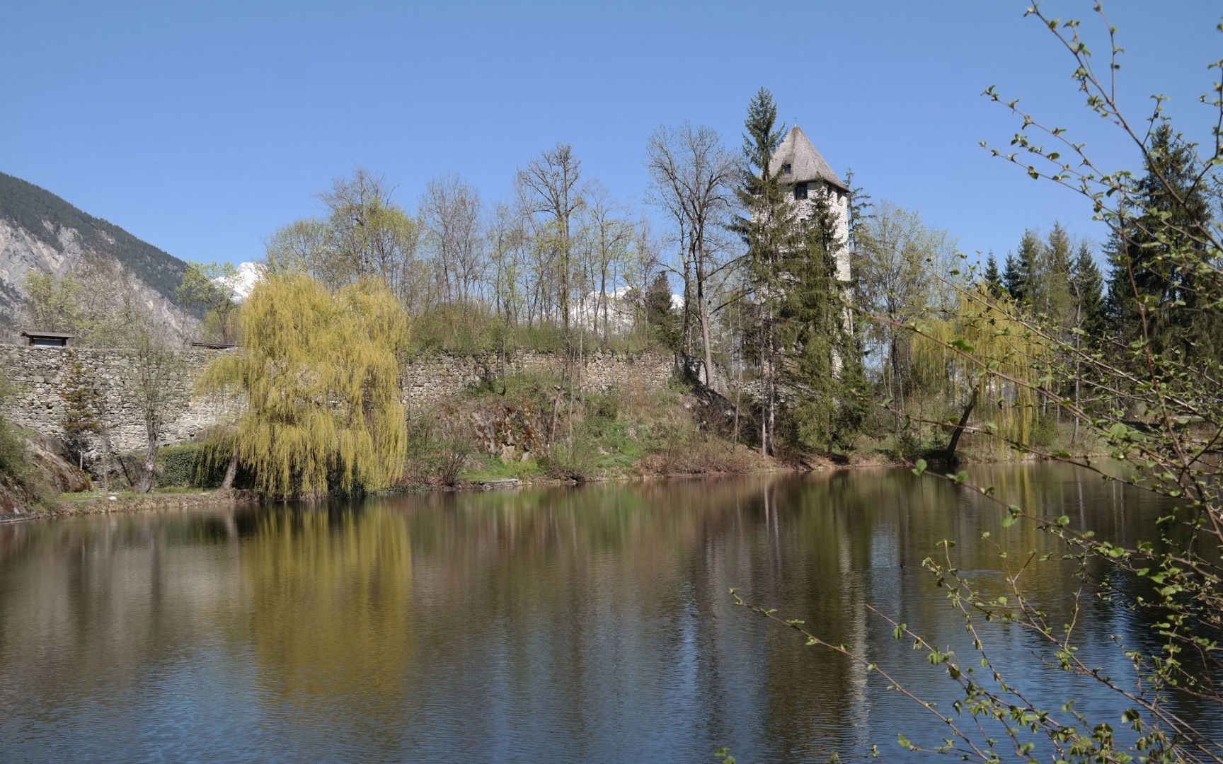
The trail continues past an idyllic pond that belongs to the castle and then follows the access road down into the valley. After the barriers, turn right onto a dirt road through the fields. When you come to the first crossroads, continue straight on. After a short distance, you'll come to another crossing and this time you should keep right. Continue along the paved road until you reach the houses and then turn right again. On the way back, you will pass the old Silz Mill. Shortly after the mill, turn left and follow signs to the "Wasserfall" (waterfall). This brings you back to the starting point.


