Mountain hikes Hinterhornbach - Neaderpfad loop

Hinterhornbach / Allgäuer Alpen
Difficulty ratings: medium
Route length: 4.3 km
Duration: 1:30 h

Beautiful, partly shady circular hike.

Tour information

  • Requirement: medium
  • Length: 4.3 km
  • Duration: 1:30 h
  • Elevation uphill:157 hm
  • Elevation downhill:153 hm
Highest point1,173 m

Starting point

Community centre Hinterhornbach

Finishing point

Starting point
  • Fitness level 1 / 6
  • Technique 1 / 6

Features

  • Circular route

Best time of year

  • January
  • February
  • March
  • April
  • May
  • June
  • July
  • August
  • September
  • October
  • November
  • December

Trail condition

Asphalt, gravel, path

Equipment

Good equipment is essential for your hike. The following items should definitely be in your rucksack: - Food and drink - Functional clothing for rain, wind and cold - A change of clothes - Sun protection - First aid kit - Mobile phone with a full battery (Euro emergency number 112) - Hiking map or GPS - Hiking poles Nevertheless, the following applies: light luggage is also easier to carry, so you should not weigh down your rucksack with unnecessary ballast. In addition, your hiking equipment should of course also be adapted to your particular hiking tour.
Source: Lechtal-Reutte

Description

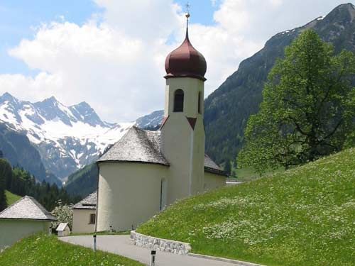
Your hike begins at the community centre, you walk down the path and cross the bridge. Now you walk along the wide forest path through shady woods to the bridge over the Hornbach. Cross this and walk up the goods road to the main road. From here you walk back to the starting point.

Getting here

  • Arrival by public transport

    Side valley taxi from the beginning of July to the beginning of October Stop Hinterhornbach-Gemeindehaus

  • Parking

    Car park at the town hall, free of charge

More tours in the surrounding area

Newsletter

The mountain is calling? So does our newsletter!

In our monthly newsletter we reveal the best holiday tips for Tyrol.