
Difficulty:medium
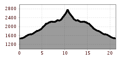
Length:14.4 kmDuration:6:00 hElevation uphill:925 m
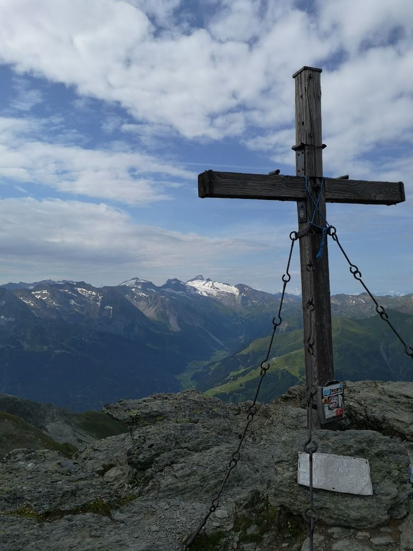
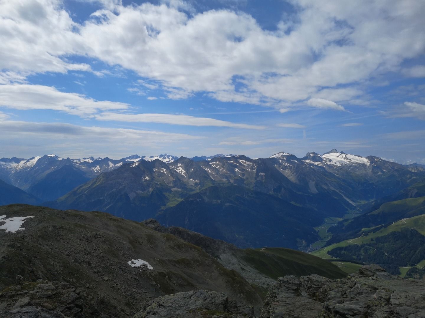
Hochfügen - Rastkogel hut (2124m) - Rastkogel (2762m) Trail No. 24
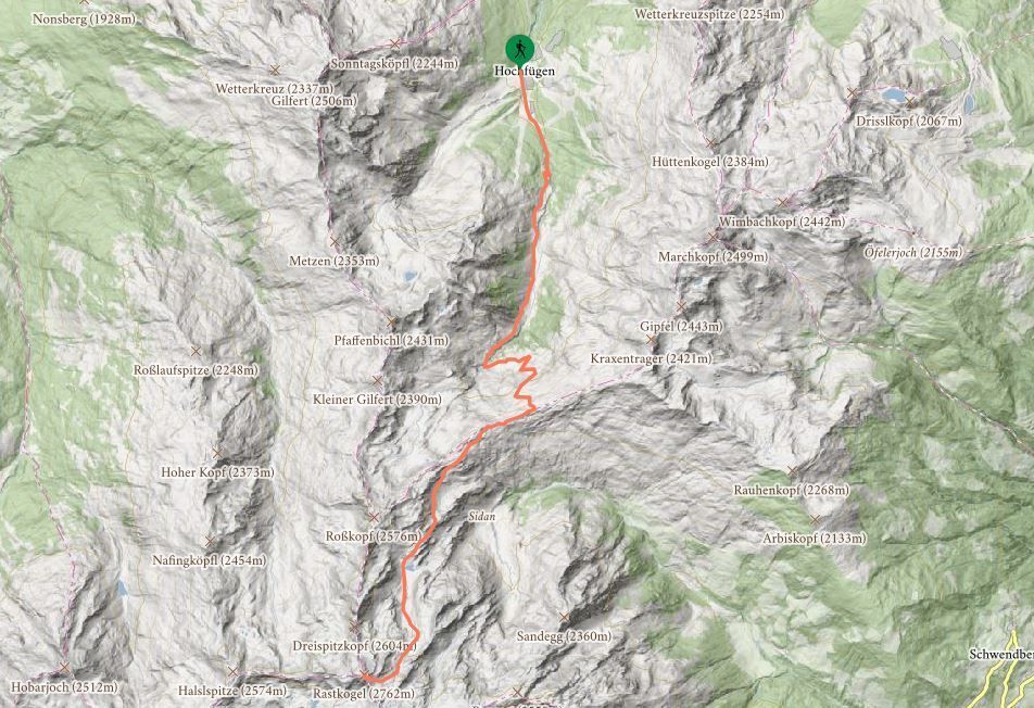
Departing from Hochfügen, a gravel road (with no driving allowed past the Zillertal Shuttle valley station) leads into the valley along the Finsingbach stream, past the Pfundsalm pasture, and through to a waterfall at the end. Follow the road past this and a little further to the left until you reach the signpost. Bear right and embark on a
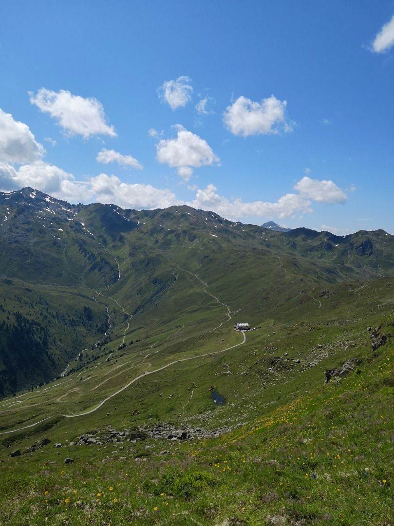
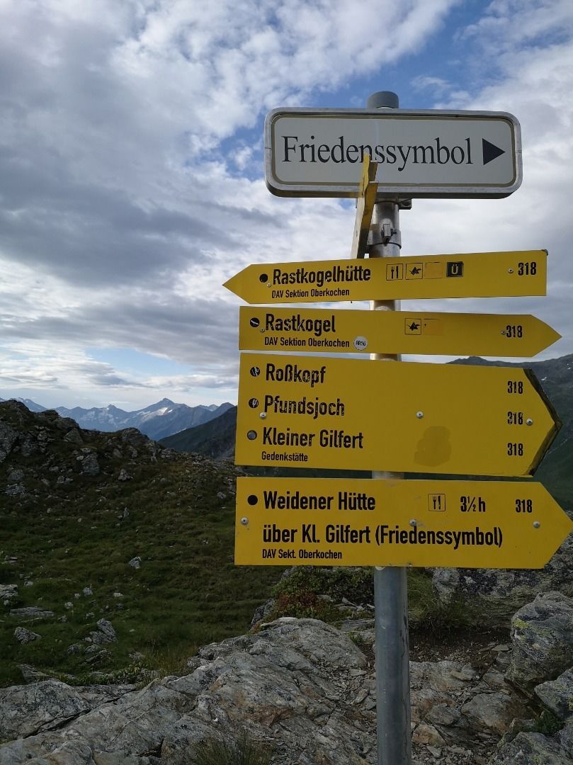
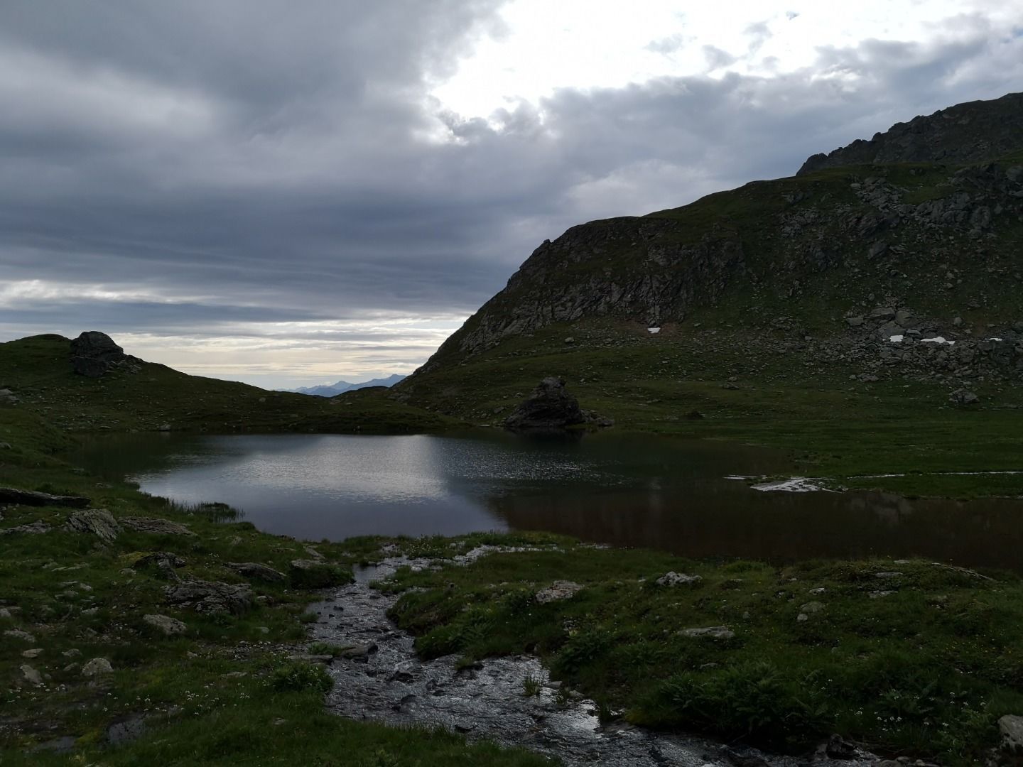
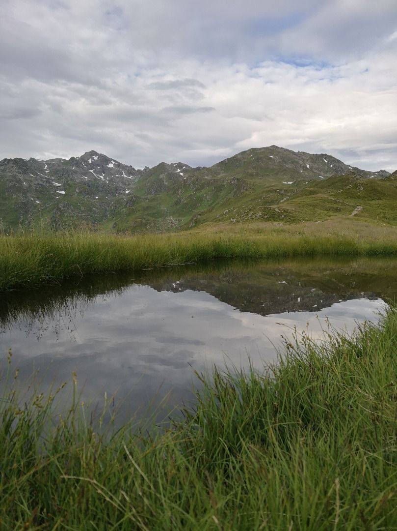
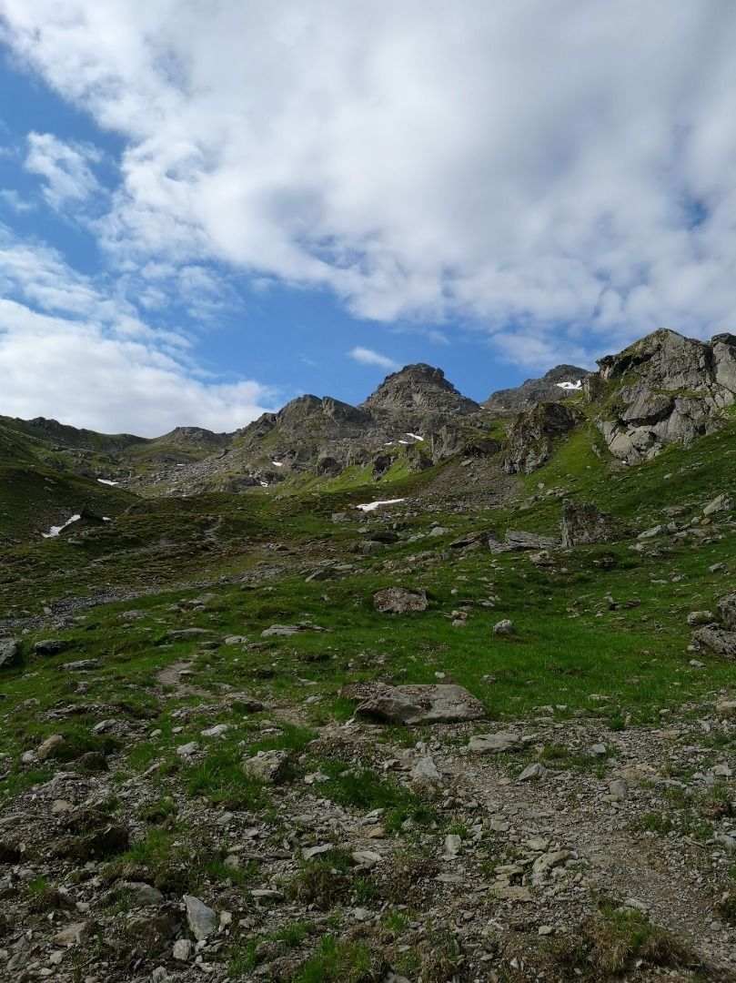
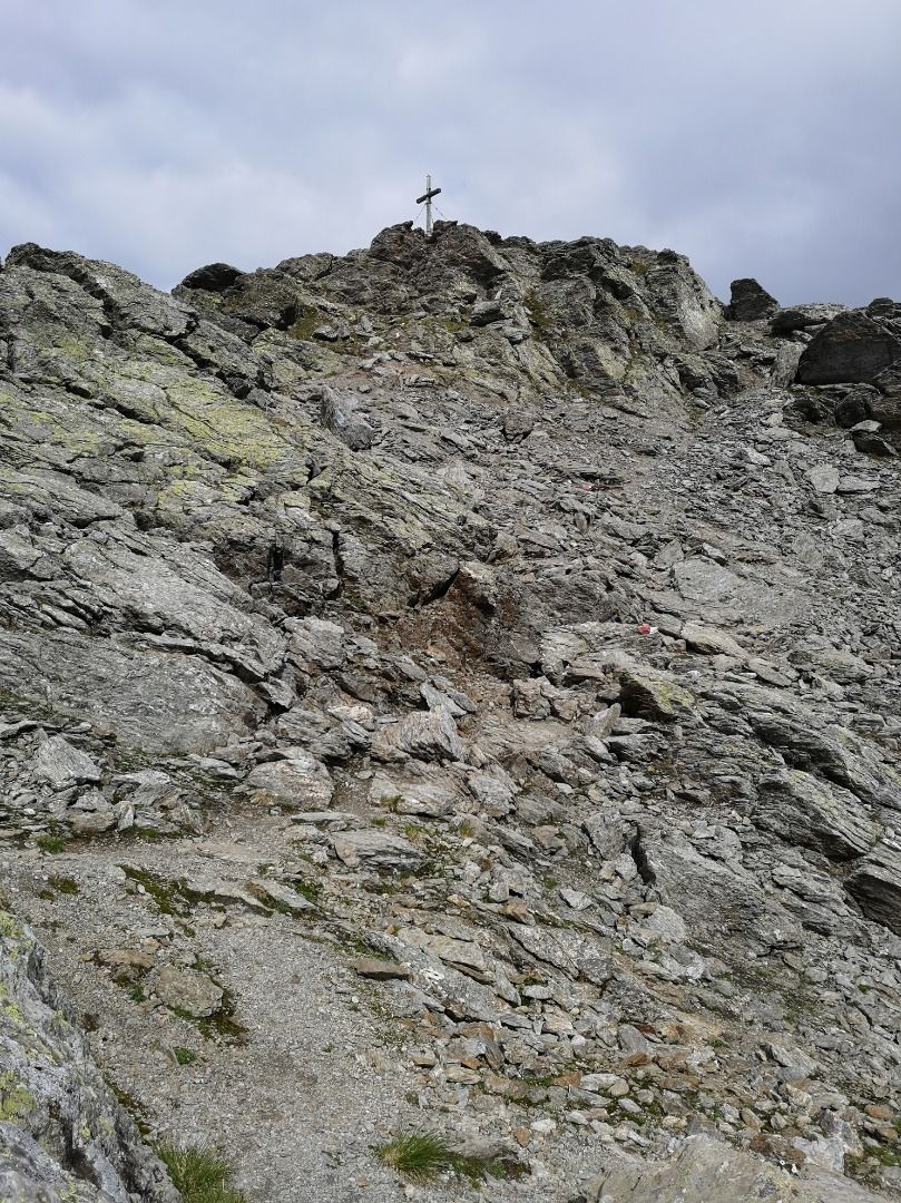
continuous ascent along the hiking trail and across Alpine pastures until you reach Sidanjoch saddle at 2127 m (+30 min. there and back if you take the turn-off to the Rastkogelhütte hut). From there, you can hike along the Zentralalpenweg trail, past the Sidansee lakes, and all the way to the Rastkogel summit at 2762 m. After leading across a number of streams, the final section of the trail is at times steep and also composed of loose gravel and scree: Sure-footedness is therefore essential! The route for the descent is identical to the ascent.
stop off possibilities: restaurants in Hochfügen, Rastkogelhütte
.jpg")
Manfred Pfister.jpg")

