Mountain hikes Hohe Salve past Salvensee

Hopfgarten im Brixental / Kitzbüheler Alpen
Difficulty ratings: medium
Route length: 5.7 km
Duration: 4:15 h

Varied hike to the summit, past mountain lakes, accompanied by a picturesque mountain panorama.

Tour information

  • Requirement: medium
  • Length: 5.7 km
  • Duration: 4:15 h
  • Elevation uphill:650 hm
  • Elevation downhill:0 hm
Highest point1,829 m

Starting point

Hopfgarten, middle station

Finishing point

Hohe Salve (1828), summit
  • Fitness level 3 / 6
  • Technique 3 / 6

Features

  • Suitable for families

Best time of year

  • January
  • February
  • March
  • April
  • May
  • June
  • July
  • August
  • September
  • October
  • November
  • December

Trail condition

forest path, hiking trail

Equipment

breathable outdoor clothing sufficient water and snacks first-aid kit fully charged mobile phone + charger hiking map + guidebook if possible GPS device or GPS data on your phone sun protection (sunscreen, sunglasses, hat) rainwear cash
Source: Kitzbüheler Alpen Management GmbH

Description

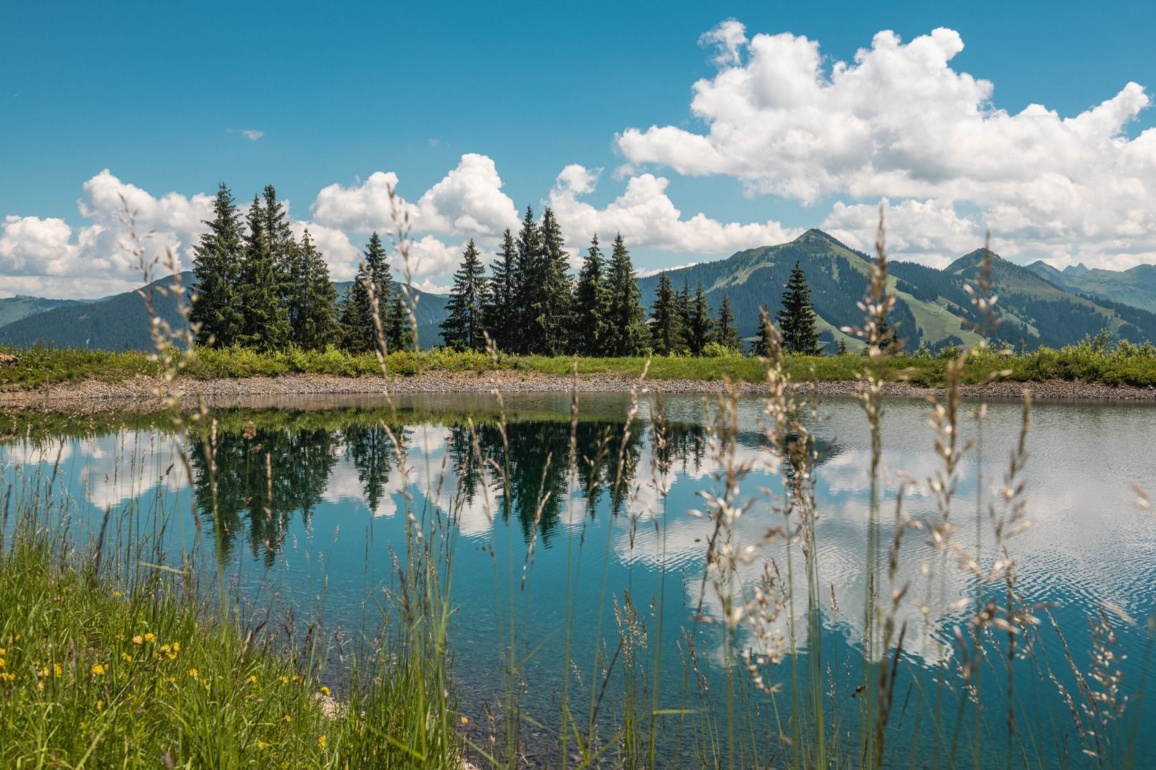
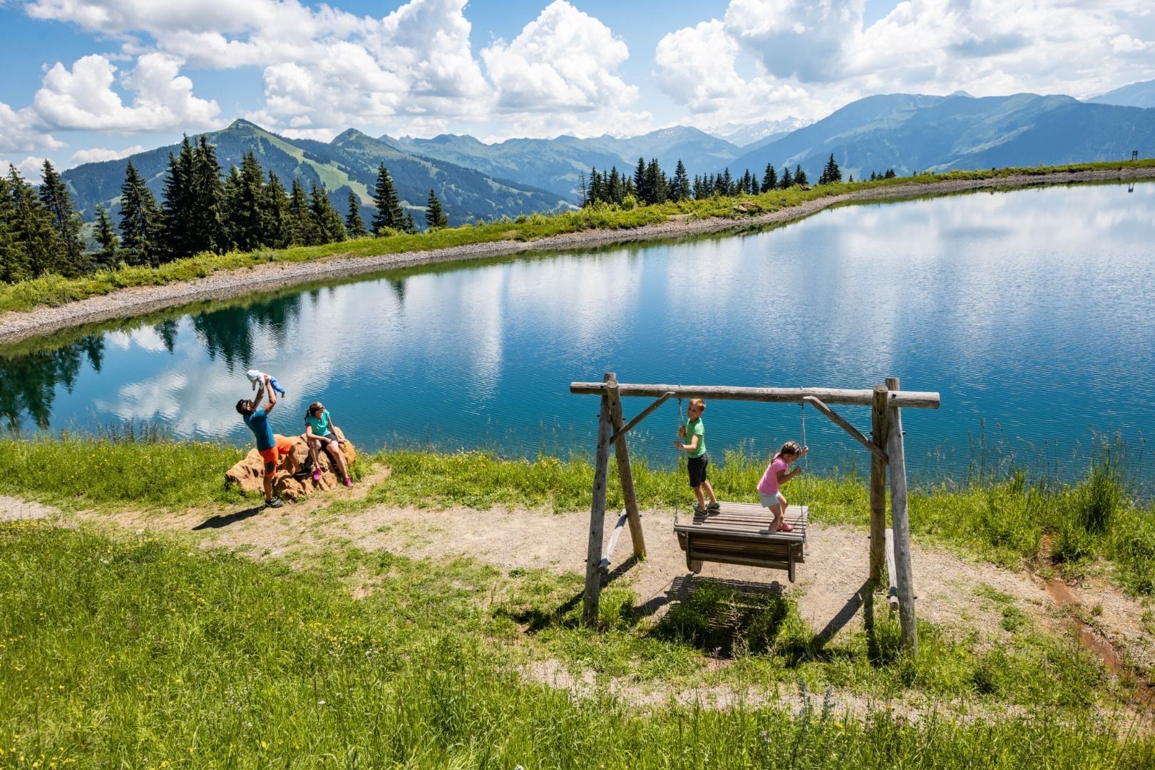
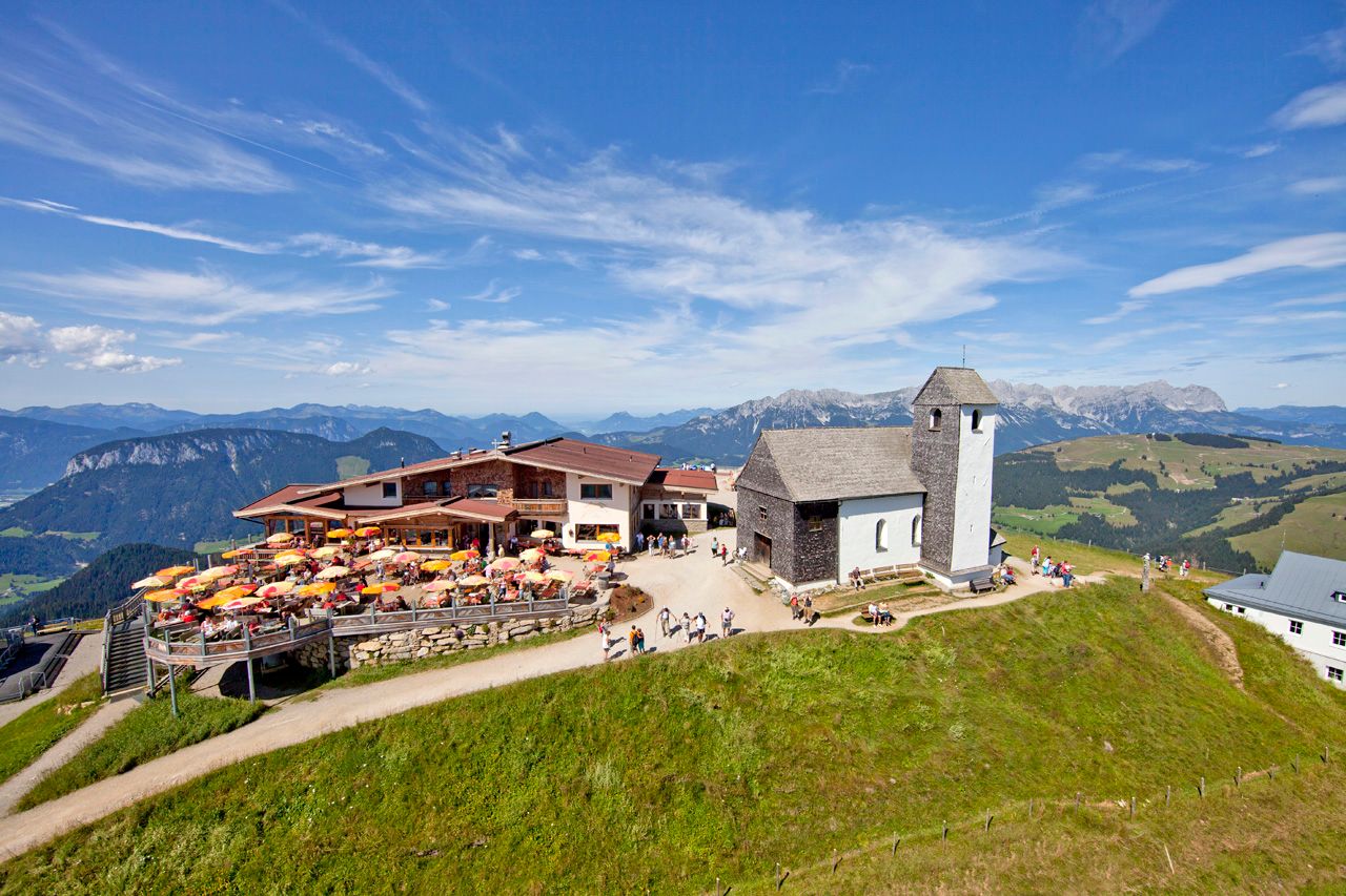
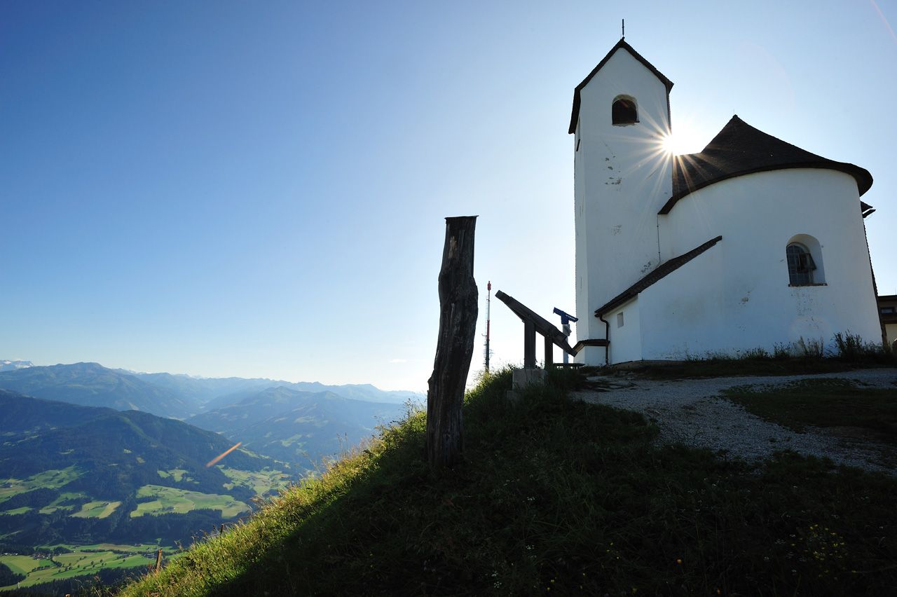
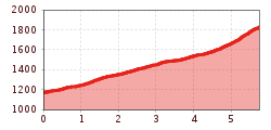
The starting point for this hike is the Hopfgarten middle station, which can be reached comfortably from Hopfgarten on the Salvenbahn 1 cable car. From there, follow forest trail no. 99 to the beautiful Hohe Salve reservoir. Continue to the Salvensee lake, accompanied by the marvellous panoramic view, via trail no. 90/99. The final ascent over the southern slope (no. 90/95) is a little more challenging, but you will be rewarded with a breathtaking panoramic view from the summit of the Hohe Salve.

Follow the signs no. 90/95 back to the starting point in the direction of the Hopfgarten middle station.
Alternatively, you can take the Salvenbahn cable car back down to the valley.

Nearby huts and mountain restaurants

  • Tenner Stadl

    Opening hours:Open today
    Place: Hopfgarten im Brixental
    : Alpine pasture / hut / mountain restaurant, Snack bar / StreetFood

Getting here

  • Arrival by public transport

    bus: Hopfgarten Berglift Bahnhof
    train: Hopfgarten Berglift Bahnhof

    Guest card of the region = train ticket from Kirchbichl to Hochfilzen + bus ticket from Mariastein to Kitzbühel included

    More detailed information: www.hohe-salve.com/mobility
     

  • Parking

    Car park P3 Wasserfeld (free of charge) 
    Lift car park – free with lift ticket


More tours in the surrounding area

  • Schafsiedel

    Difficulty: medium
    Length: 15.6 km Duration: 6:45 h Elevation uphill: 1,280 m
  • KAT WALK FAMILY

    Difficulty: medium
    Length: 52.5 km Elevation uphill: 3,390 m
  • KAT WALK COMPACT

    Difficulty: medium
    Length: 83.0 km Duration: 36:45 h Elevation uphill: 5,462 m
  • Niederau - Foisching Hut

    Difficulty: easy
    Length: 6.5 km Duration: 2:15 h Elevation uphill: 253 m
Newsletter

The mountain is calling? So does our newsletter!

In our monthly newsletter we reveal the best holiday tips for Tyrol.