

Difficulty:difficult
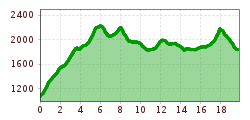
Length:85.1 kmDuration:35:00 hElevation uphill:6,805 m
Short description:A dreamlike hike, it offers you a mountain scenery of the extra class. Quality of experience: ******Recommended season:MayJuneJulyAugustSeptemberOctoberProperties:Round tripScenicRefreshment stops availableGeological highlightsBotanical highlightsFaunistic highlightsSummit route
Description:
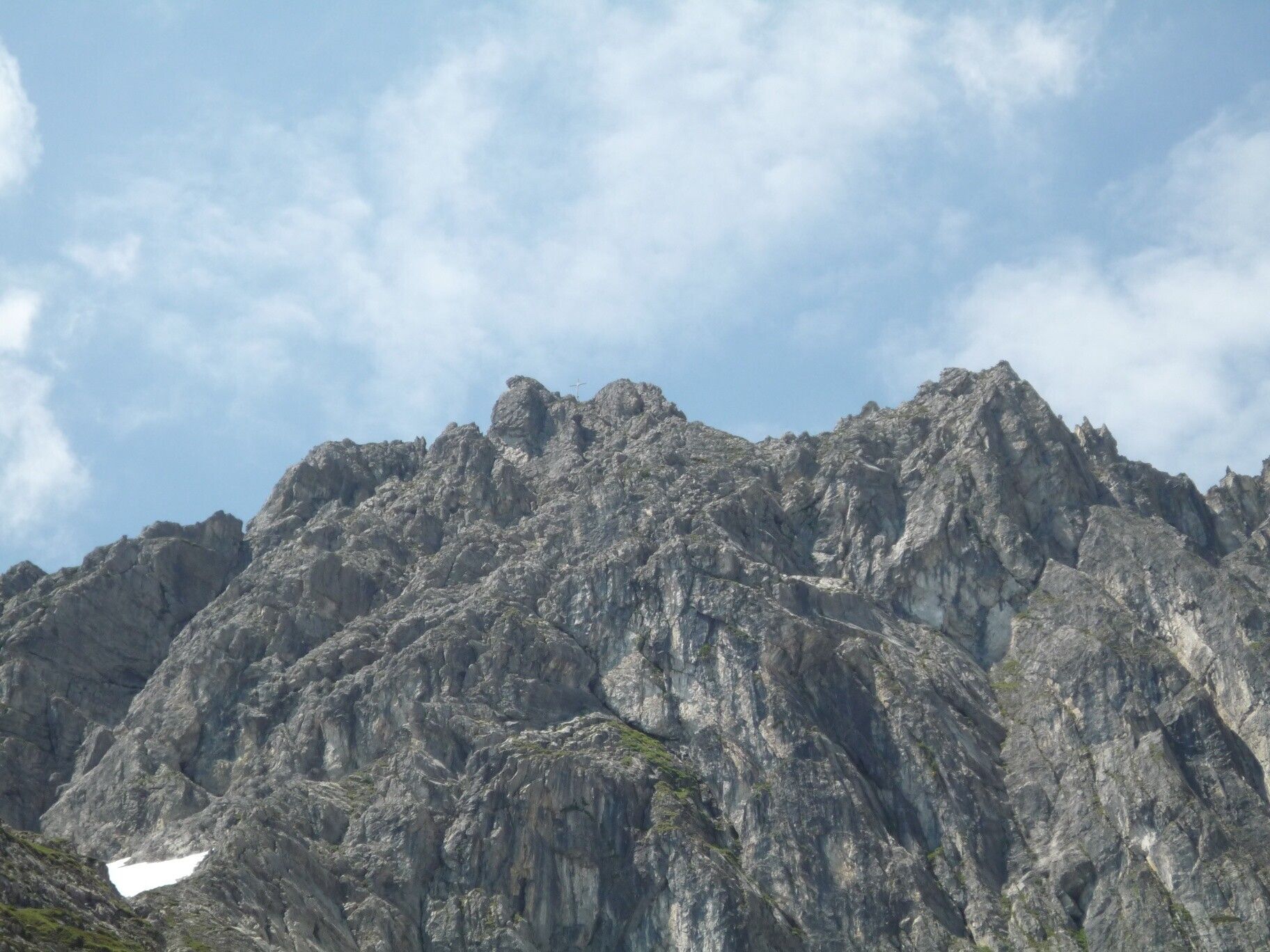
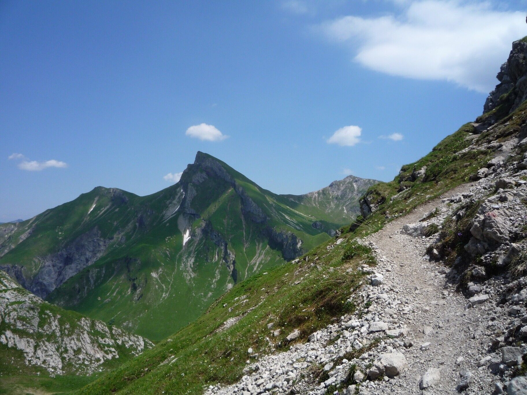
Enjoy a hike in alpine terrain. This multi-day tour is a panoramic tour. On the way you will encounter countless highlights such as the Geißhorn or the Schrecksee etc. etc. Directions:
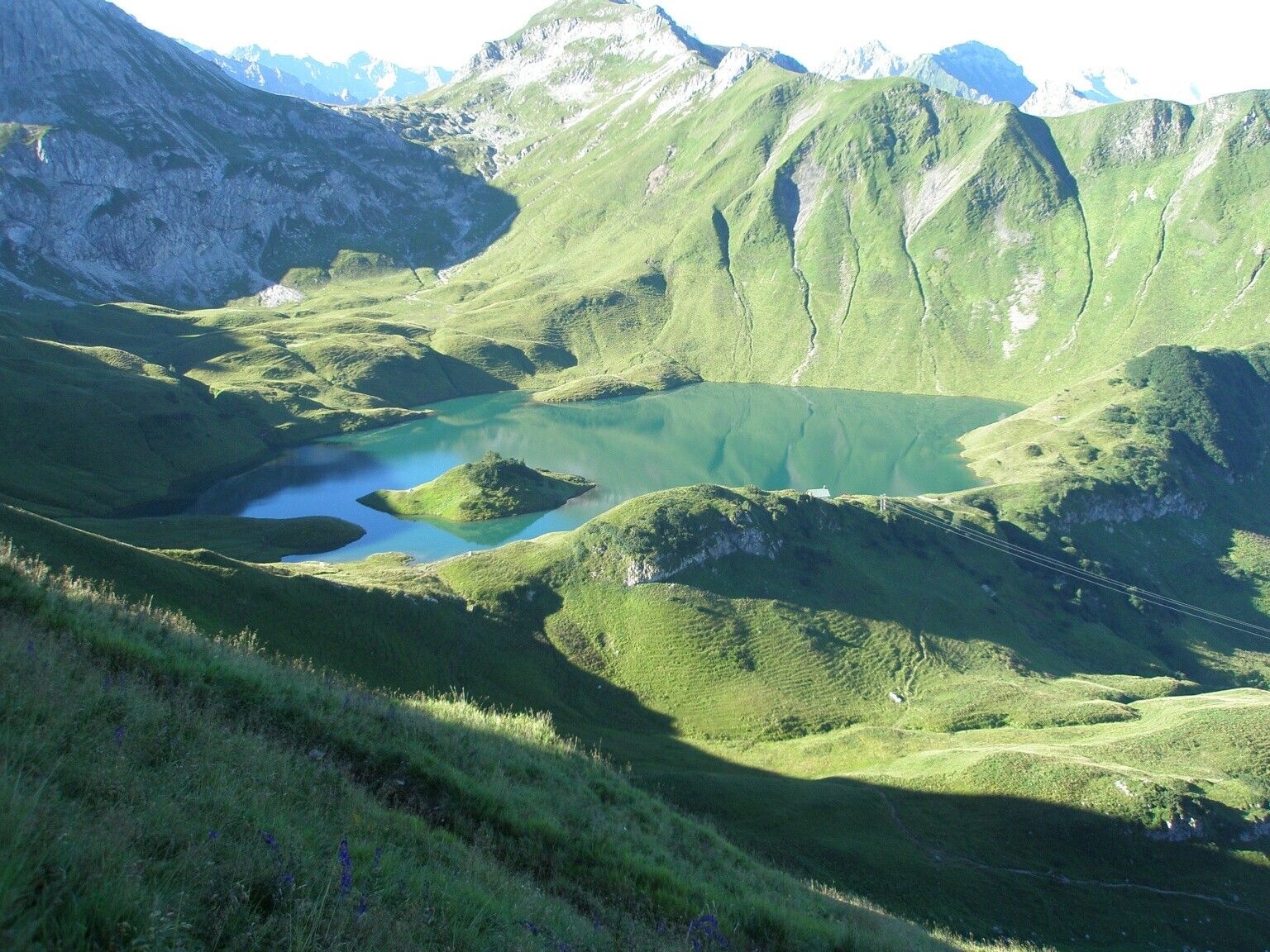
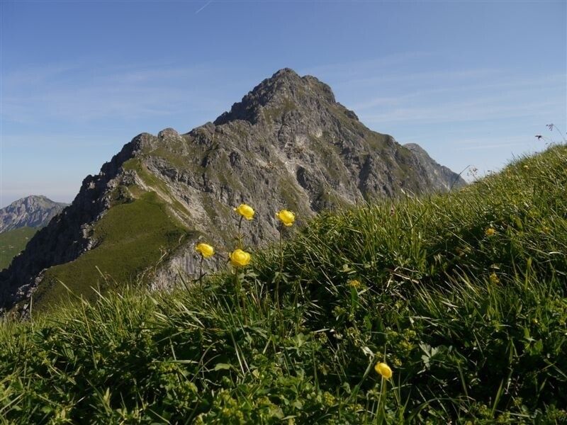
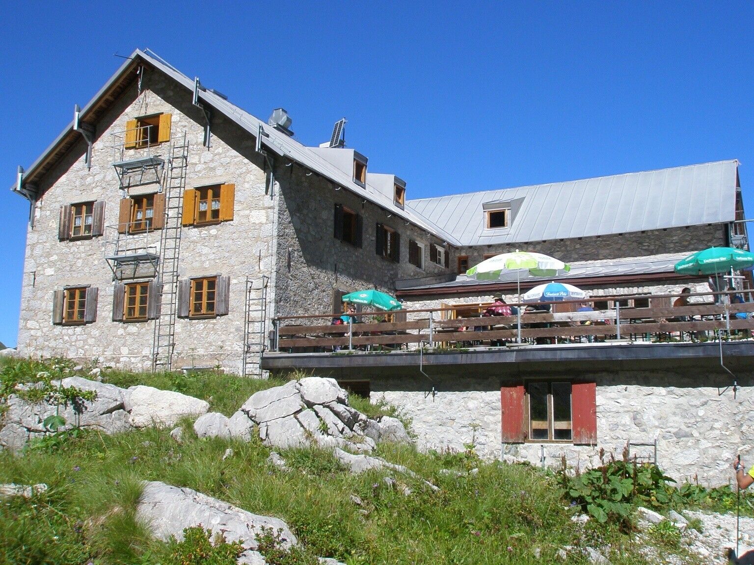
From the lift car park in Zöblen, the trail climbs uphill almost parallel to the ski slope, first into the Pontental and then on to Zirleseck. Here we can already see the Geißhorn, which is the first highlight of the tour. After the Geißhorn we continue to the Rauhorn, passing the Kugelhorn and the Knappenkopf. At the Kirchdachsattel we descend to the Schrecksee. This idyllically situated alpine lake with its island almost invites you to swim. After the ascent to the Schreckenjöchle, the trail continues past Schänzlespitze and Schänzlekopf. Thus we reach the Bockkarscharte under the Kesselspitze. After crossing it, we descend to the Prinz-Luitpold-Haus.From here there are several possibilities to start the hike: a: further on to the Landsberger Hütte; b: descent into the Hintersteinertal to the Giebelhaus; c: further on to Oberstdorf; d: ascent to the Hochvogel and descent to Hinterhornbach.Tip:
Very nice, extended day tour with a lot of variety and some meters of altitudeSafety guidelines:
It should be noted that in mountaineering there is an increased risk of accidents and injuries. Despite careful route planning, a basic risk always remains. Tour preparation through endurance sports, appropriate technical training and further education as well as personal prudence reduces the danger of accidents and risks. However, please never forget that the weather in the mountains can change very quickly. Stay on the marked hiking trails.Equipment:
The personal mountaineering equipment must be safe and serviceable and meet the relevant technical standards. Every hiker is recommended to obtain information about the planned tours from specialist alpine literature or on site.Additional information:


