Mountain hikes Jungholz around the Grüntensee and back

Jungholz /
Difficulty ratings: difficult
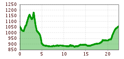
Route length: 22.5 km
Duration: 6:14 h

Short description:Scenic circular hike from Jungholz around the Grüntensee and back. Quality of experience: ******Recommended season:MayJuneJulyAugustSeptemberOctoberProperties:LoopScenicRefreshment stops availableFamily friendlyCultural/historical valueGeological highlightsBotanical highlightsInsider tip

Tour information

  • Requirement: difficult
  • Length: 22.5 km
  • Duration: 6:14 h
  • Elevation uphill:386 hm
  • Elevation downhill:385 hm
Highest point1,197 m
  • Fitness level 5 / 6

Features

  • Circular route

Best time of year

  • January
  • February
  • March
  • April
  • May
  • June
  • July
  • August
  • September
  • October
  • November
  • December
Source: Tannheimer Tal

Description

Description:
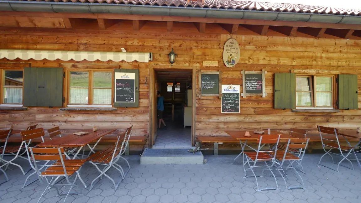
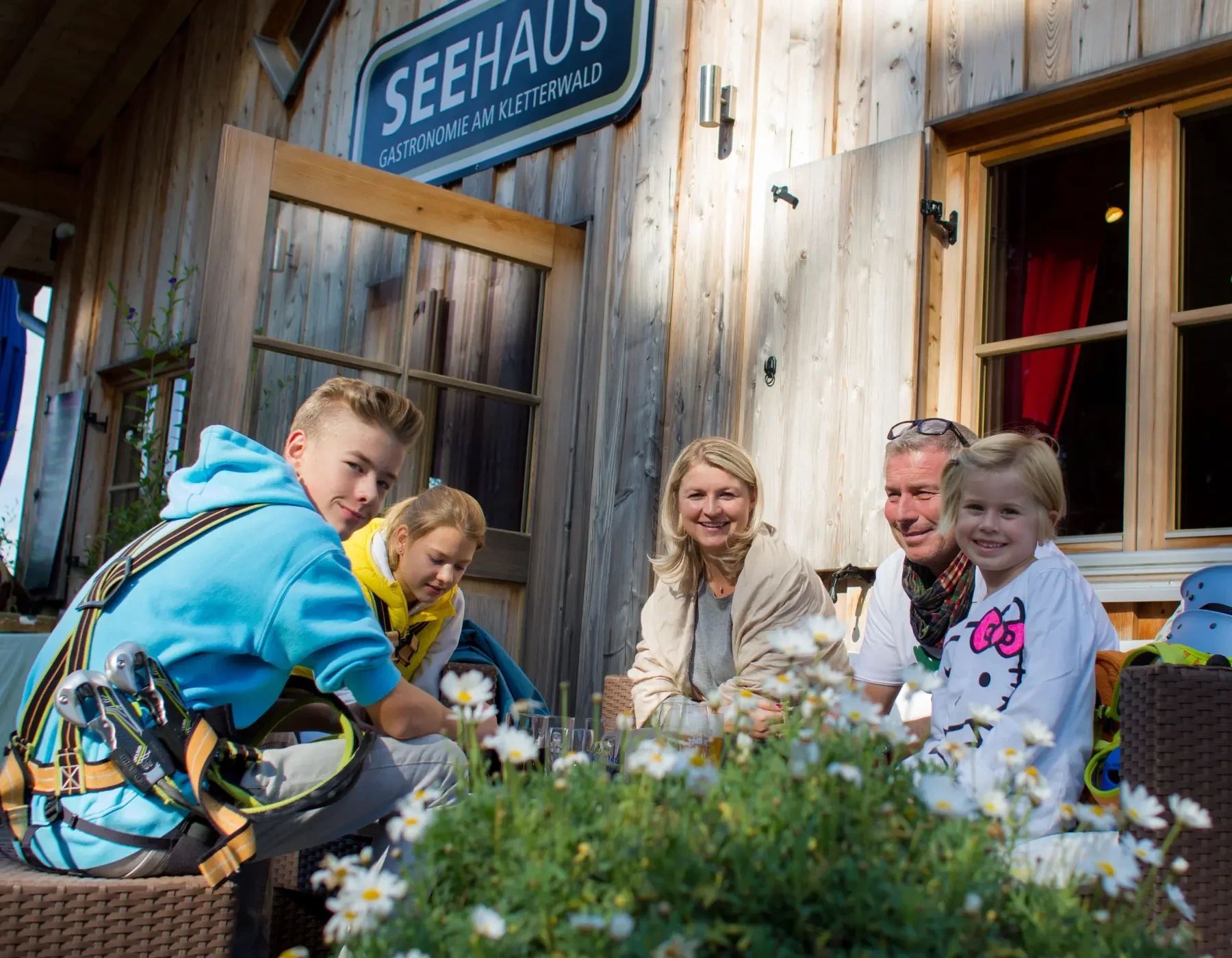
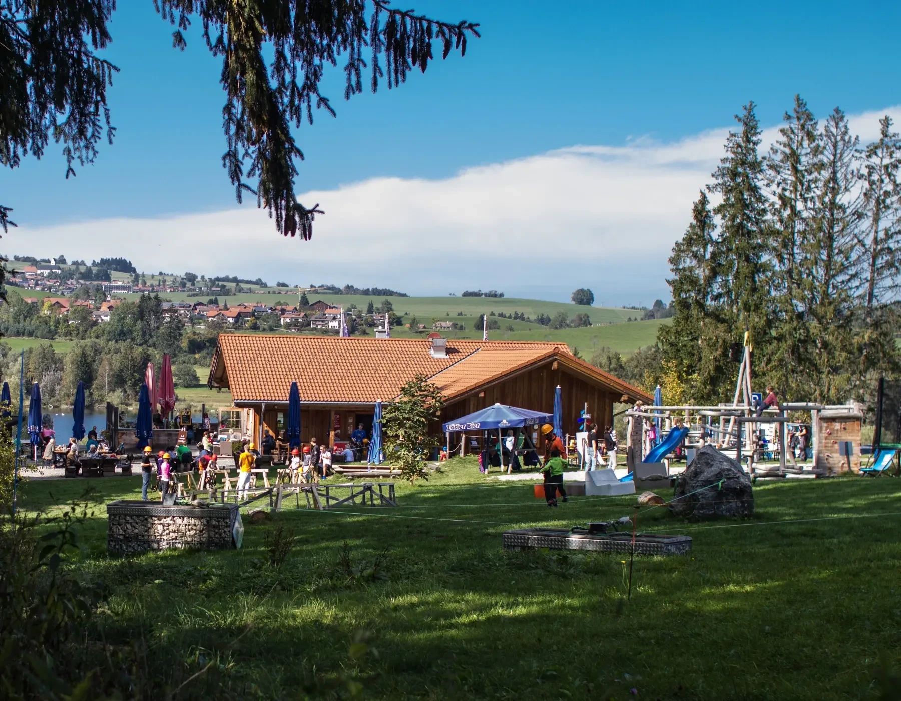
On the continuously signposted circular route across borders, we encounter cultural sights, great views, and unique nature in the Allgäu and Tyrol. During the route, we pass various viewpoints and attractions (climbing forest, children's playground, dining facilities), enjoy the wonderful atmosphere of the surroundings, as well as the natural spectacle around Jungholz, Wertach, and the Grüntensee.Directions:
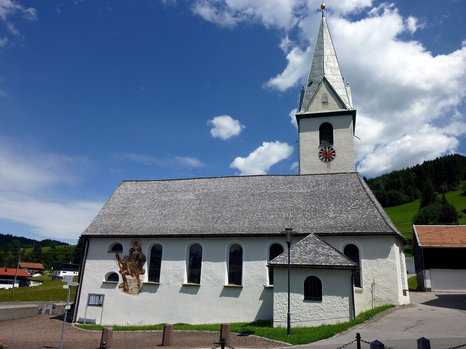
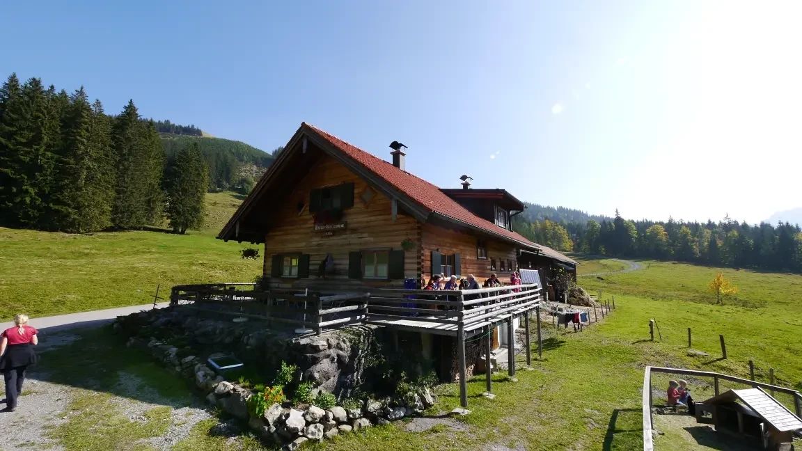
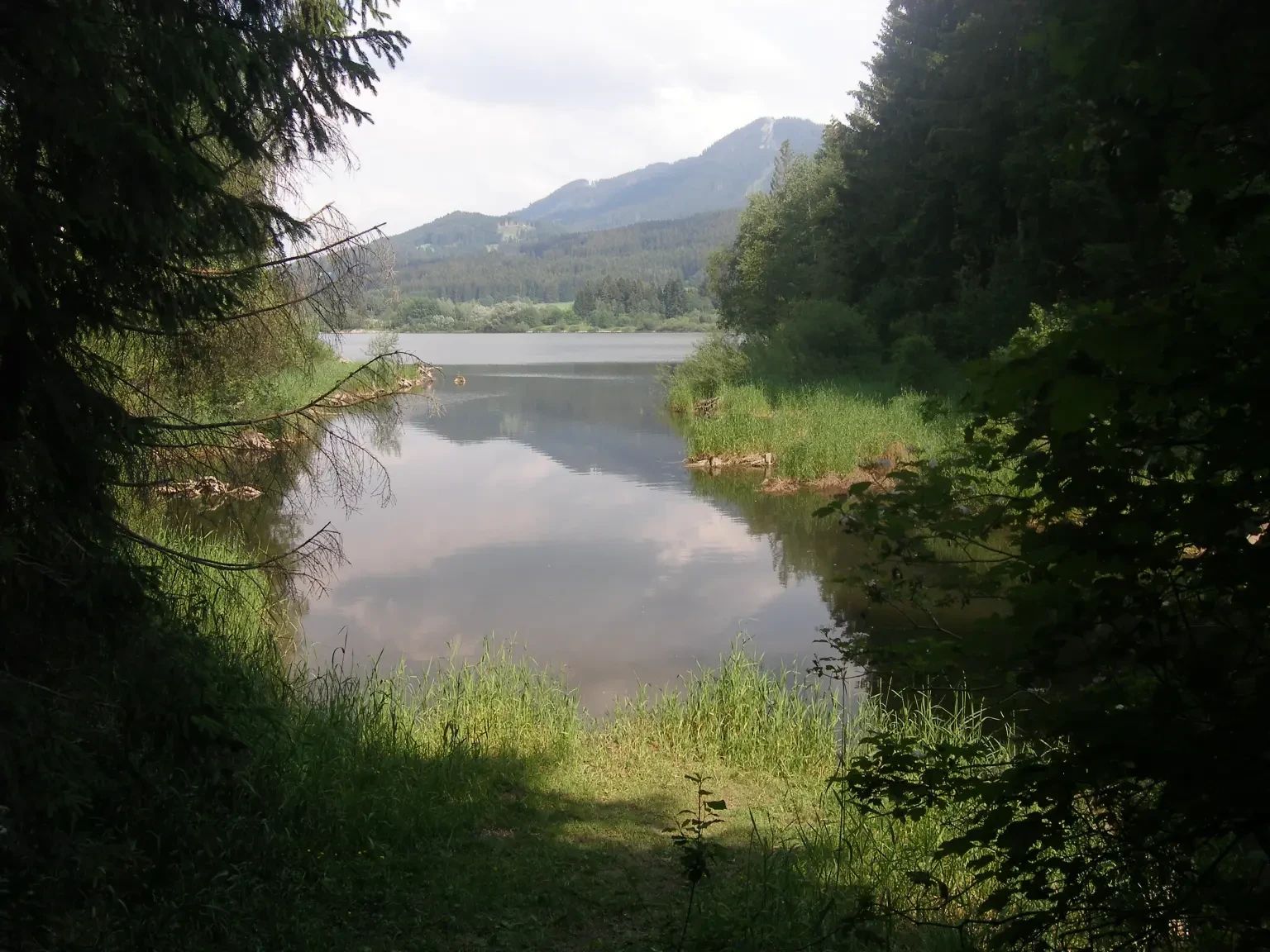
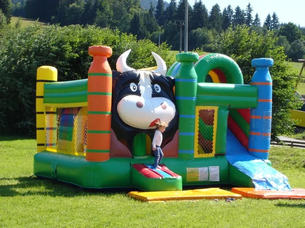
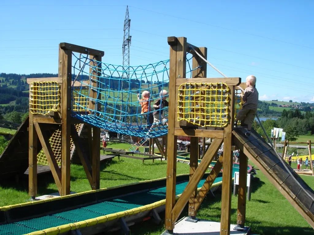
The starting point is the municipal parking lot in Jungholz. From there we walk through the district of Gießen-schwand to the Lower Reuterwanne Alp, continue towards Vorderreutte to St. Sebastian's Church. There we briefly cross the road and immediately afterwards turn left onto the circular route around the Grüntensee. Always following the signs, we walk all around (passing the lakeside house with climbing forest) until we turn towards the Buronhütte. Passing the children's playground (a stopover with children), we walk back towards the St. Sebastian Chapel. This time we stay beside the main road on the path and follow the signs back to Jungholz. Along the Wertach (stream/river) we continue until the junction to Jungholz comes toward us. Here we briefly cross the road and walk through the district of Habsbichel, past the Jungholz rock bath back to our starting point.Tip:
Take a break at the lakeside house, send the children to the climbing forest!Safety guidelines:
It should be noted that hiking and walking tours carry a risk of injury. Despite the most precise route planning, there is always a residual risk.Equipment:
Sturdy footwear, suitable hiking clothing

Getting here

  • Parking

    Getting there

    Option 1: Exit A 7 Oy-Mittelberg, take B310 towards Wertach, take the Jungholz exit on the left. Very well signposted


    Option 2: Accessible via B310 Oberjoch-Unterjoch - exit Pfeiffermühle/Jungholz


    Public Transit

    Daily, the bus operator "Komm Mit" serves Jungholz from several sides and locations. 


    The Jungholz bus stop is located about 150 meters from the starting point


    Parking

    The Jungholz ski lift parking lot is free all year round. The capacity is about 300 vehicles.


    The parking lot also forms the starting point of the route.

Weather

Today

mainly clear
20°C/7°C
0%0l5 km/h

Sun

mainly clear
21°C/9°C
55%2.1l5 km/h

Mon

light rain showers
16°C/7°C
45%1l5 km/h
Go to weather forecast

More tours in the surrounding area

Newsletter

The mountain is calling? So does our newsletter!

In our monthly newsletter we reveal the best holiday tips for Tyrol.