Description
Description:
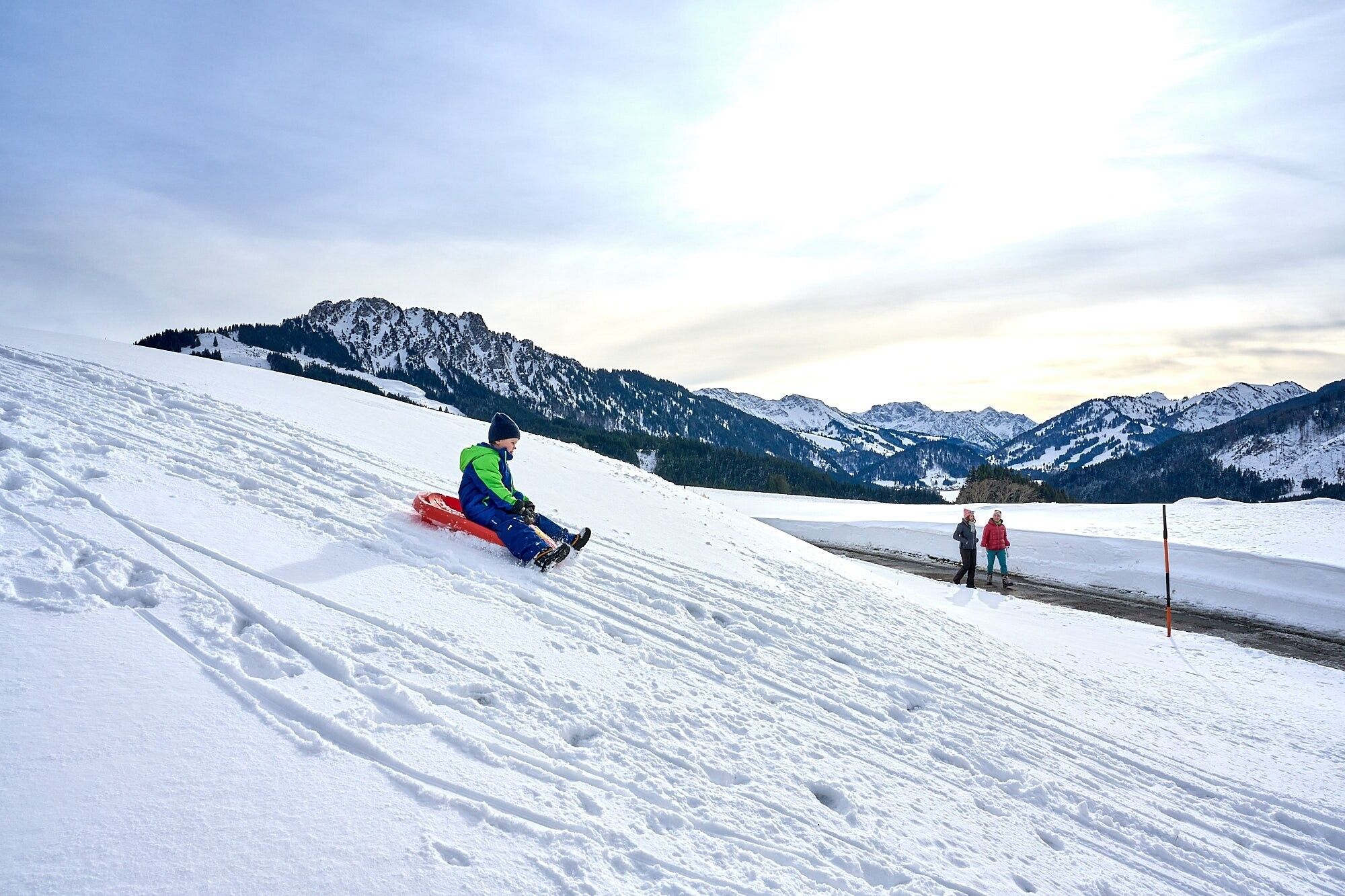
It doesn't always have to be skiing, snowboarding or cross-country skiing. Hikers can roam through the snow-covered fairytale landscape on almost 81 kilometres of cleared trails. Along the way, cosy huts invite you to stop for a bite to eat. Sit by the open fire, warm up with a cup of Jaga tea or fortify yourself with a snack for the next few kilometres – this is how you can enjoy snow walks to the fullest.
There is so much to discover and see along the approximately 81 kilometres of cleared hiking trails, and so much fresh air to breathe, that every step becomes a pleasure – with the inns and cafés along the routes offering ample opportunities to fortify yourself and warm up. If you want to experience something really special, join a guided snowshoe hike. If you want to go high up, there are two options in the Tannheimer Valley for climbing a peak even in winter: the Neunerköpfle in Tannheim with the largest summit book in the Alps or the Gamskopf with the Panorama Informator in Grän.
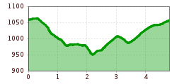
Directions:The winter hike begins in the town centre and initially follows the road towards Pfeiffermühle. At the beginning of the town, turn left towards Sorgalpe. After about 300 metres, turn right, which leads to the main road. Cross this road and then walk along the Wertach river to the campsite in the Habsbichl district. Continue to the inn, where you cross the road to continue towards the swimming pool. If you wish, you can return to the town centre or follow the signs to the left to reach Gießenschwand.
Safety guidelines:It should be noted that winter hiking also carries an increased risk of accidents and injuries. Particular attention should be paid to the condition of the trails in winter. Suitable clothing, good footwear and possibly hiking poles provide additional safety. Stay on the marked trails.
Equipment:Modern and well-maintained equipment (shoes, poles and clothing) not only provides a considerable degree of safety but also makes winter hiking much easier. Sun protection (high protection factor and possibly sunglasses) and sufficient fluids should not be forgotten.