Mountain hikes Kössen - Unterberghorn - Nr. 26

Kössen / Kaisergebirge
Difficulty ratings: difficult
Route length: 8.6 km
Duration: 4:00 h

Trail Nr.: 26

Tour information

  • Requirement: difficult
  • Length: 8.6 km
  • Duration: 4:00 h
  • Elevation uphill:1,294 hm
  • Elevation downhill:168 hm
Highest point1,751 m

Starting point

Parkplatz Unterbergbahn

Finishing point

Unterberg Gipfelkreuz
  • Fitness level 3 / 6
  • Technique 3 / 6

Best time of year

  • January
  • February
  • March
  • April
  • May
  • June
  • July
  • August
  • September
  • October
  • November
  • December

Trail condition

gravel

Equipment

Breathable outdoor clothing suitable for the weather, sturdy footwear, food (snacks, drinks),
sun protection (sunglasses, sun cream & cap), rain protection, cash; guest card if using the bus
Source: Kaiserwinkl

Description

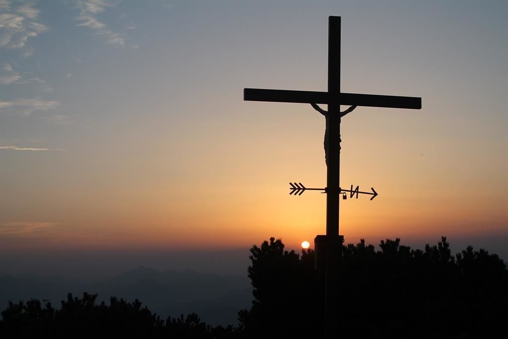
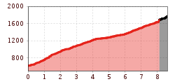
Start in Kössen at the valley station of the Bergbahnen Kössen along the eastern path. After a few minutes in the forest area, the path climbs at a barrier in long, easily accessible serpentine up to Scheibenwaldhütte (possibility for refreshments). From there you continue to the Bärenhütte (paraglider starting place) and the summit house. Now it is still about half an hour over a well marked mountain path to the Unterberghorn. You can either go back the same way with the gondola or via the Niederhausertal. (Path no. 70)

Getting here

  • Arrival by public transport

    Take bus line 4030 to the stop 'Unterberghornbahn'.
    (Or, if the bus does not go to that stop, get off at the 'Hüttwirt' stop instead.)

  • Parking

    Right next to the HochKössen cable car.

More tours in the surrounding area

Newsletter

The mountain is calling? So does our newsletter!

In our monthly newsletter we reveal the best holiday tips for Tyrol.