
Opening hours:Open today
Place:
Brandberg
:
Alpine pasture / hut / mountain restaurant
Off the beaten path, this tour takes you up to the Hundskehljoch, 2.557 m. A scenic route through the quiet beauty of the high alpine landscape.
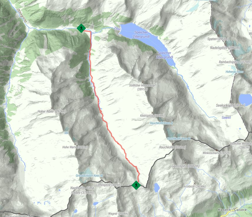
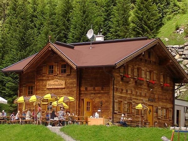
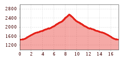
Your hike begins at the Bärenbadalm, 1.450 m. From here, you cross a small bridge and follow the well-marked trail No. 516, which leads you south on a wide gravel road. The path steadily climbs through impressive alpine scenery, with green meadows, rocky stretches, and stunning views of the surrounding Zillertal Alps.
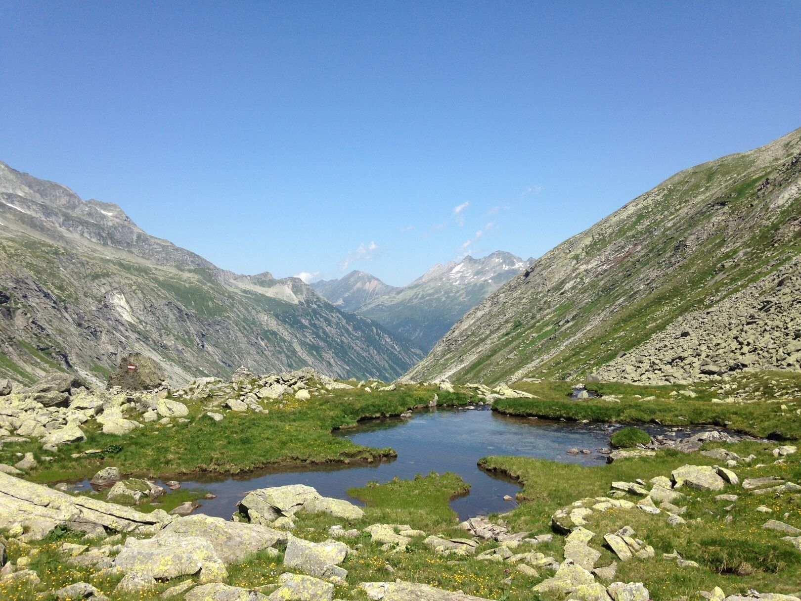
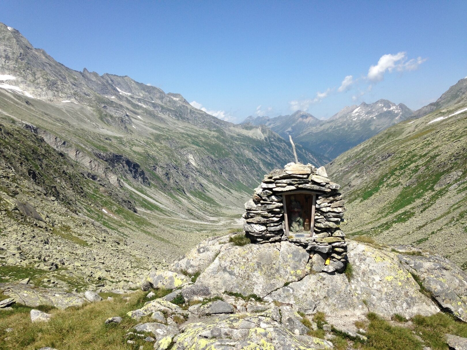
As you gain altitude, the views become even more spectacular, leading you to your destination – the Hundskehljoch, 2.557 m. At the top, you're rewarded with a breathtaking panorama and the peaceful silence of the high mountains. After a short rest, you return the same way back to the Bärenbadalm, 1.450 m – a perfect spot to round off your tour with a relaxed break.
Linie: 8328, Haltestelle: Bärenbad
www.mayrhofen.at/fahrplaene


 Kasseler Hütte - Edelhütte")
 Berliner Hütte - Greizer Hütte")
 Greizer Hütte - Kasseler Hütte")
