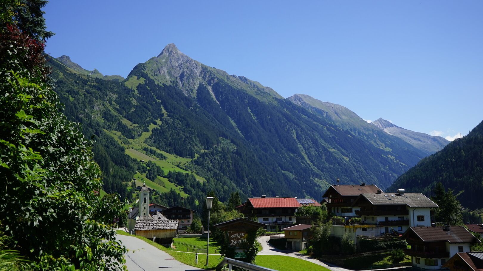
Summit hikes Brandberger Kolm

Mayrhofen, Zillertal / Zillertaler Alpen
Difficulty ratings: difficult
Route length: 13.7 km
Duration: 7:30 h

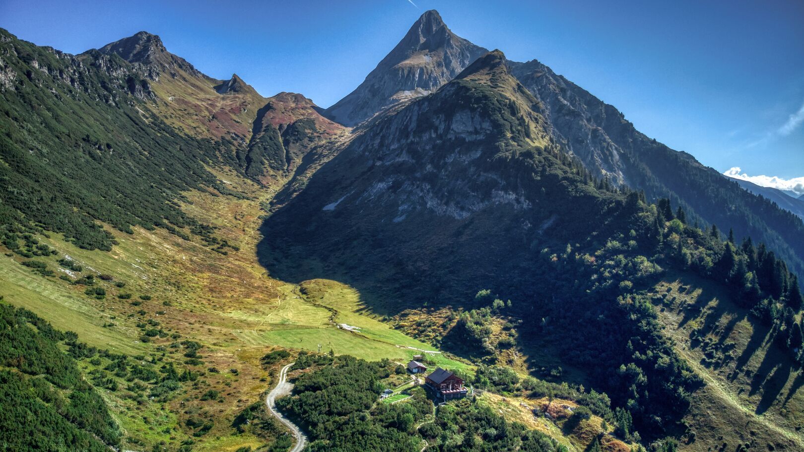
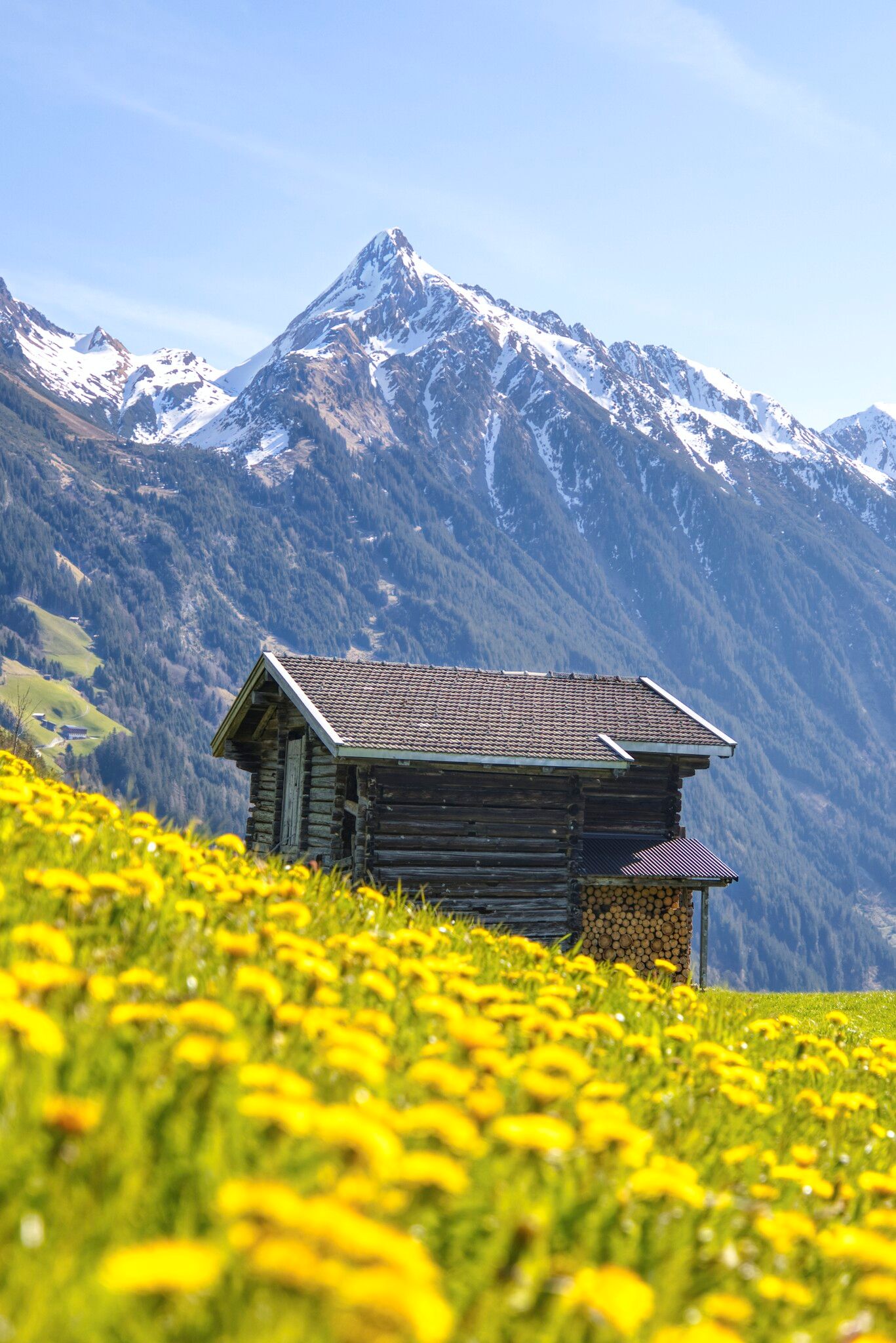
What a mountain! Or is it a volcano after all? Either way, you simply want to climb the Brandberger Kolm as soon as you see it. Fortunately, the ascent is not as difficult as it seems at first glance.

Tour character

Challenging mountain tour to the Brandberger Kolm, a summit in the Zillertal with great views. From the starting point in Brandberg, the trail first leads through forest and alpine pastures before the ascent becomes steeper and more alpine. The trail leads over scree and rocky terrain, where surefootedness and a head for heights are essential. The summit of the Brandberger Kolm rewards you with a magnificent view of the Zillertal Alps and the surrounding valley.

Tour information

  • Requirement: difficult
  • Length: 13.7 km
  • Duration: 7:30 h
  • Elevation uphill:1,600 hm
  • Elevation downhill:1,600 hm
Highest point2,700 m

Starting point

Municipal office, Brandberg 13, 6290 Brandberg

Finishing point

Municipal office, Brandberg 13, 6290 Brandberg
  • Fitness level 5 / 6
  • Technique 5 / 6

Best time of year

  • January
  • February
  • March
  • April
  • May
  • June
  • July
  • August
  • September
  • October
  • November
  • December

Trail condition

  • Well-maintained start
  • Steep switchbacks
  • Challenging sections
  • Scree fields, rocky paths
  • Sure-footedness and no fear of heights required
  • Slippery, eroded spots in the upper section

Equipment

  • Lightweight, breathable clothing and a hat for sun protection
  • Sturdy, comfortable hiking boots with good grip
  • Plenty of drinking water (at least 1.5–2 litres) and light snacks
  • Sunscreen, sunglasses, and insect repellent if needed
  • Hiking map or smartphone with GPS/navigation app
  • First aid kit and basic medical supplies
  • Optional: Trekking poles for support on ascents and descents
Source: Zillertal

Description

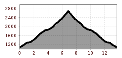
From the municipal office at Brandberg, begin your hike towards Gasthaus Thanner. Then, follow the trail to Kolmhaus. From Kolmhaus, the path nr. 513 proceeds gently through Brandberger-Kar to the east and ascends to an alpine meadow. At this point, the trail to Kolm veers to the right. Follow this path until you reach a distinctive "Steinmandl" (cairn). Subsequently, the trail ascends steeply through switchbacks in scree slopes. Finally, a short climbing section awaits before you reach the broad summit adorned with a summit cross.

Dizziness and surefootedness are prerequisites for this route.

Nearby huts and mountain restaurants

Getting here

Weather

Today

partly Cloudy
8°C/-2°C
15%0.1l5 km/h

Tue

clear sky
11°C/-2°C
0%0l5 km/h

Wed

clear sky
12°C/-1°C
0%0l5 km/h

More tours in the surrounding area

Newsletter

The mountain is calling? So does our newsletter!

In our monthly newsletter we reveal the best holiday tips for Tyrol.