
Place:
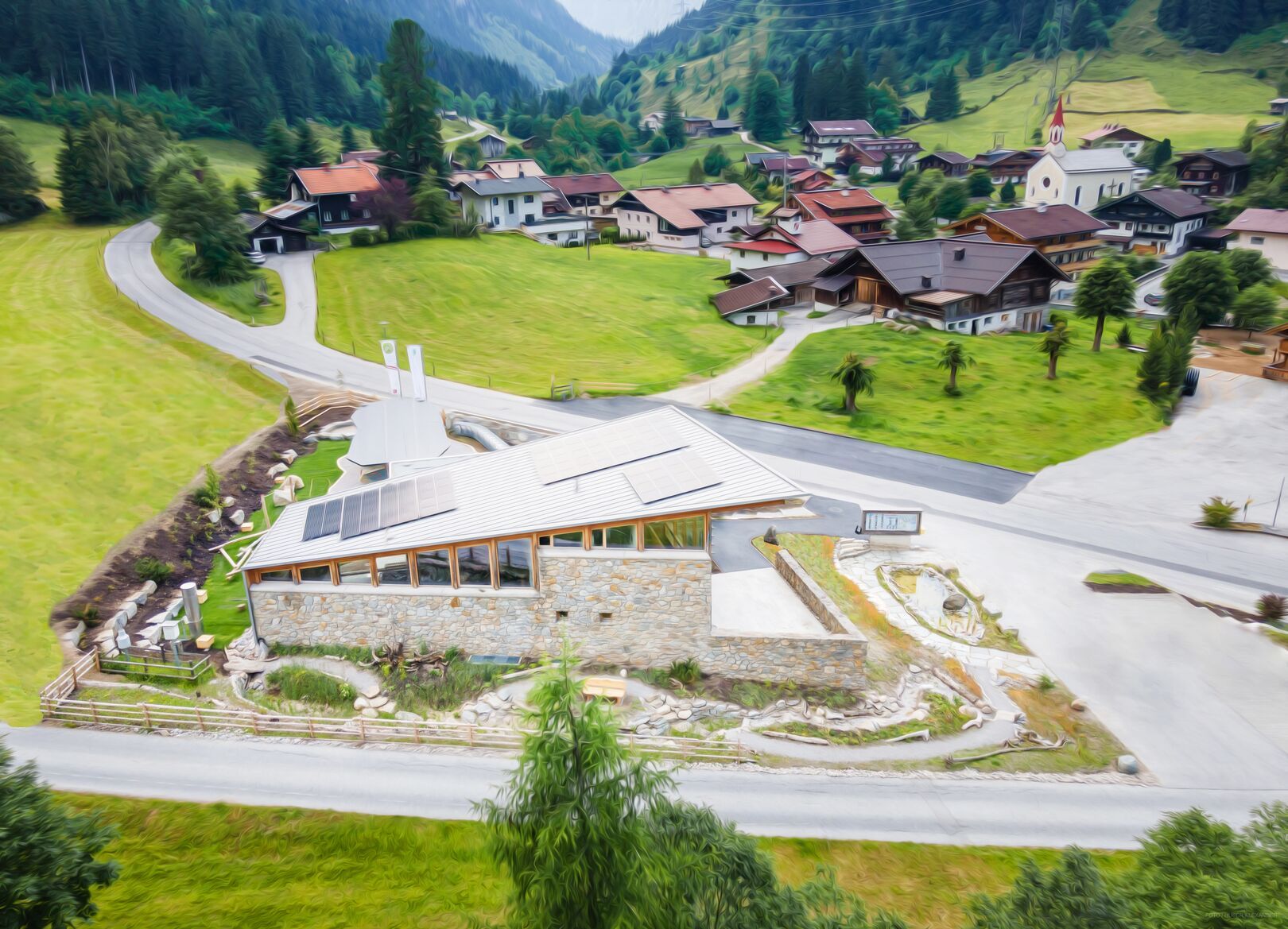
Ginzling
:
Alpine pasture / hut / mountain restaurant
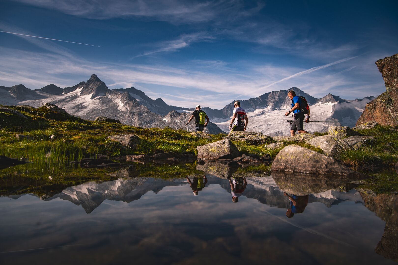
Embark on an exciting circular hike from the Naturparkhaus in Ginzling through the wild Floitental to the impressive Mörchnerscharte, 2.872 meters. After the steep descent to the Berliner Hütte, the trail leads you through the spectacular Zemmgrund back to Gasthaus Breitlahner – a true adventure for every mountain enthusiast!
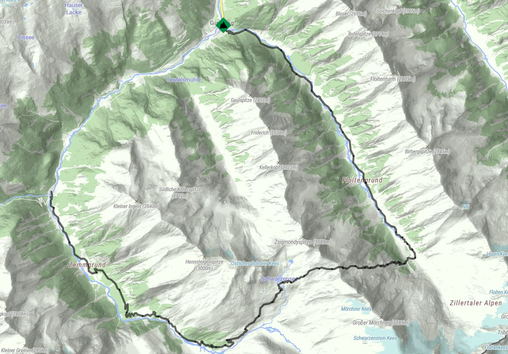
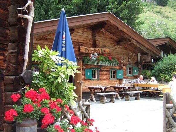
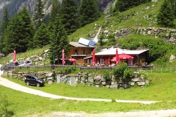
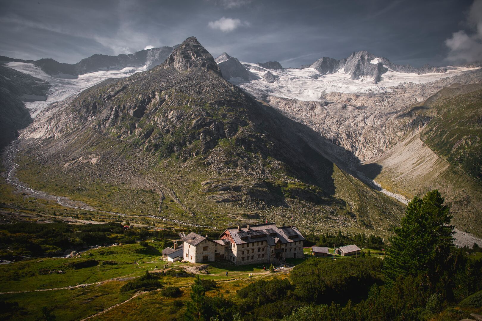
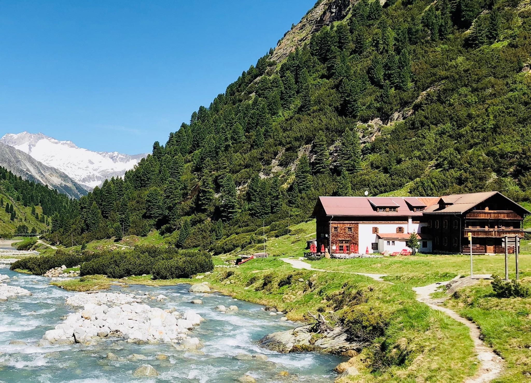
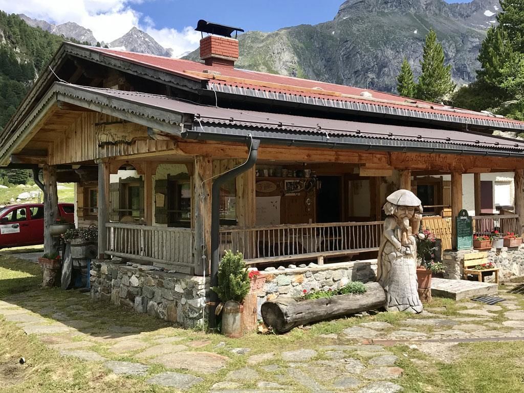
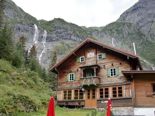
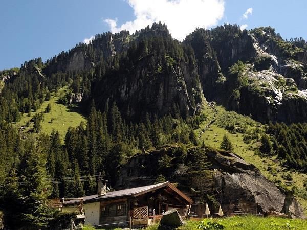
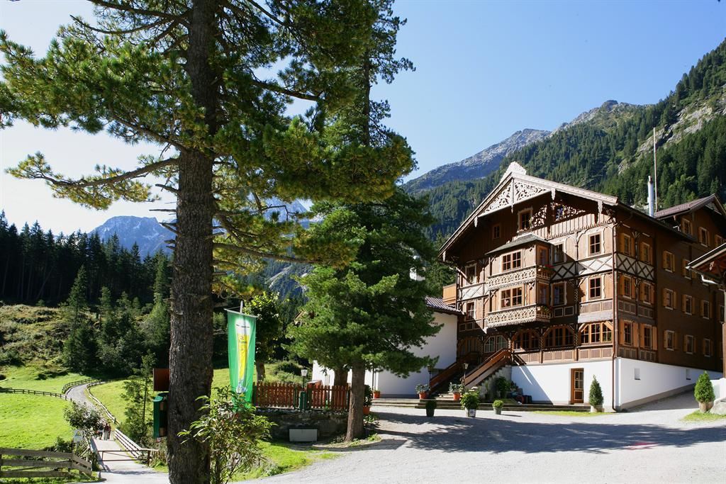
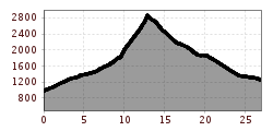
The tour starts at the Nature Park House in Ginzling. From there, trail No. 521 leads through the Floitental, passing by Tristenbachalm, 1.200 m and Steinbockhütte, 1.380 m. After the material cable car, a narrow trail No. 502 begins, which branches off to Mörchnerscharte, 2.872 m after about half an hour. Once you've left the switchbacks and ascent aids behind, you finally reach Mörchnerscharte, 2.872 m. From there, the descent to Berliner Hütte, 2.042 m begins. After reaching this point, the only thing left is the path through Zemmgrund. There, you'll pass by Alpenrosenhütte, 1.878 m, Grawandhütte, 1.636 m, and Klausenalm, 1.301 m. The circular hike finally ends at Gasthaus Breitlahner, 1.257 m. From there, you can take bus 4102 back to Ginzling.
Attention! Surefootedness and freedom from vertigo are required for this route.
Linie: 4102, Haltestelle: Naturparkhaus
Linie: 4102, Haltestelle: Ginzling Abzw Gh Breitlahner
www.mayrhofen.at/fahrplaene


 Berliner Hütte - Greizer Hütte")
 Greizer Hütte - Kasseler Hütte")
 Kasseler Hütte - Edelhütte")


