

Difficulty:difficult
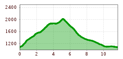
Length:85.1 kmDuration:35:00 hElevation uphill:6,805 m
Short description:A wonderful hike and in the background a fantastic mountain sceneryQuality of experience: ******Recommended season:MayJuneJulyAugustSeptemberOctoberProperties:Round tripLoopScenicRefreshment stops availableGeological highlightsBotanical highlightsFaunistic highlightsSummit route
Description:
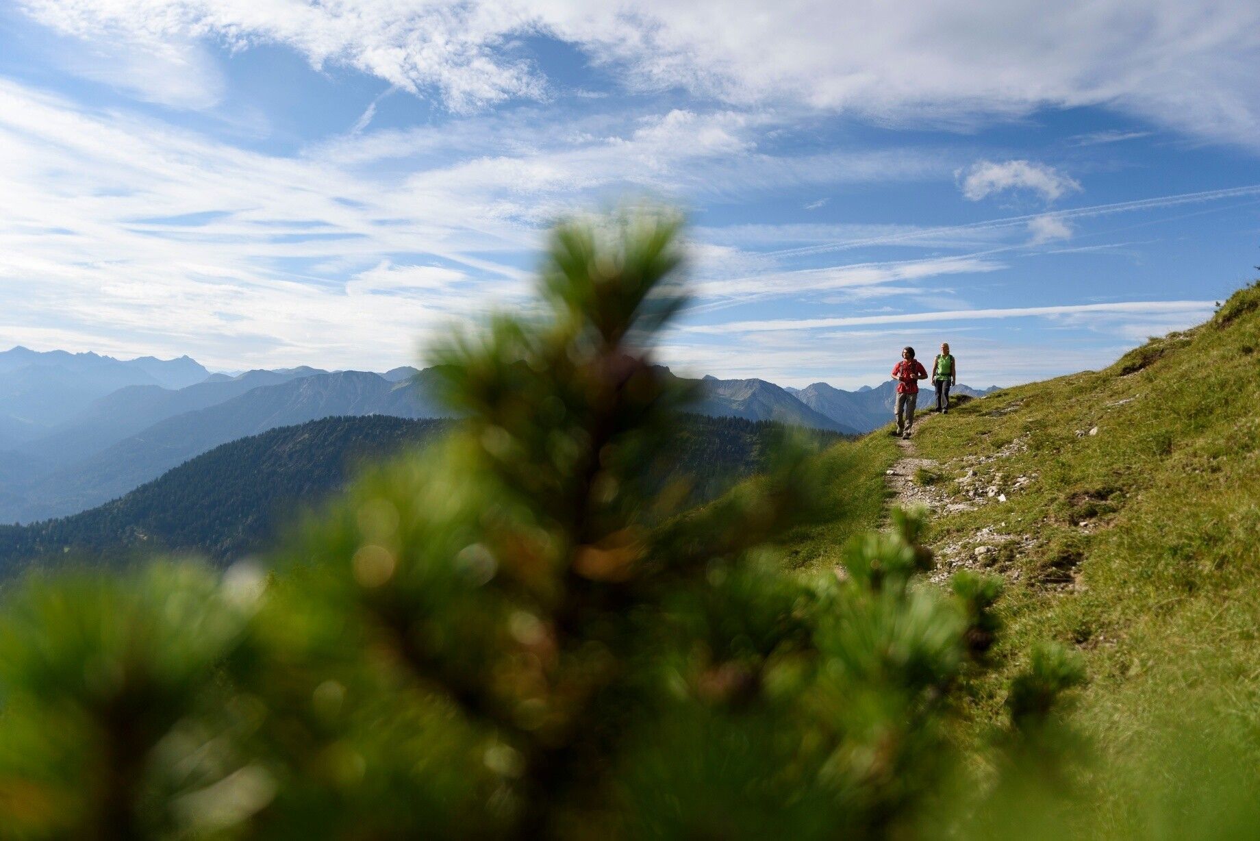
A promising tour is waiting for you. Enjoy a wonderful, not too extremely difficult ascent. However, the last part of the path is a little bit strenuous but the view from the summit makes you forget the effort of the ascent.Directions:
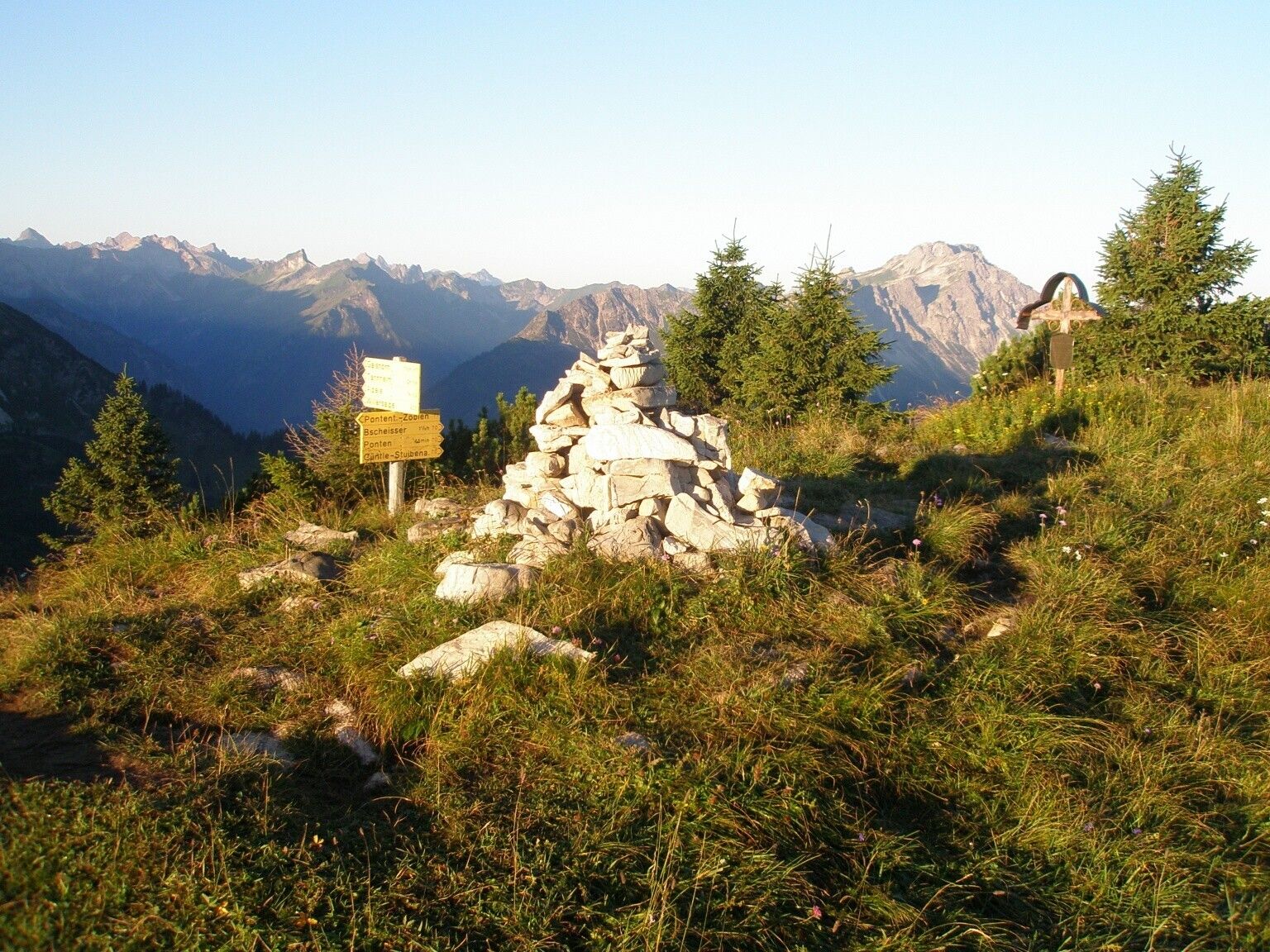
We start the hike at the lift car park in Zöblen and walk past the Restaurant Auszeit and the Augsburger Hütte, almost always through the forest. This way we quickly reach the entrance of the Pontental valley. More and more the path loses its steepness to be completely flat at the end of the valley. After that, it climbs relatively steeply, but the height meters to Zirleseck have to be managed somehow. Only for a short time we enjoy the gorgeous view before we continue to the right. The way up to the summit is beautiful. Downhill we walk on the western side of the Ponten. On the saddle between Ponten and Bscheißer, the Güntle, we turn right. We can already see the Stuiben Sennalpe below us. The path leads us first on an asphalt road, then on a gravel path, down the Stuibental valley to Schattwald. At the first houses we turn right. Past the sports field and shooting range, further through the forest back to Zöblen.Safety guidelines:
It should be noted that in mountaineering there is an increased risk of accidents and injuries. Despite careful route planning, a basic risk always remains. Tour preparation through endurance sports, appropriate technical training and further education as well as personal prudence reduces the danger of accidents and risks. However, please never forget that the weather in the mountains can change very quickly. Stay on the marked hiking trails.Equipment:
The personal mountaineering equipment must be safe and serviceable and meet the relevant technical standards. Every hiker is recommended to obtain information about the planned tours from specialist alpine literature or on site.


