
Place:
Rietz
:
Alpine pasture / hut / mountain restaurant
:
vegetarian
Rauher Kopf peak – Angersee lake
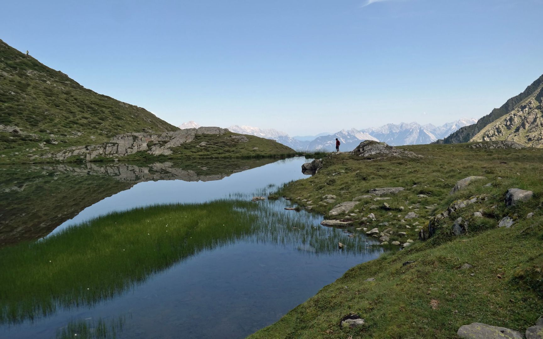
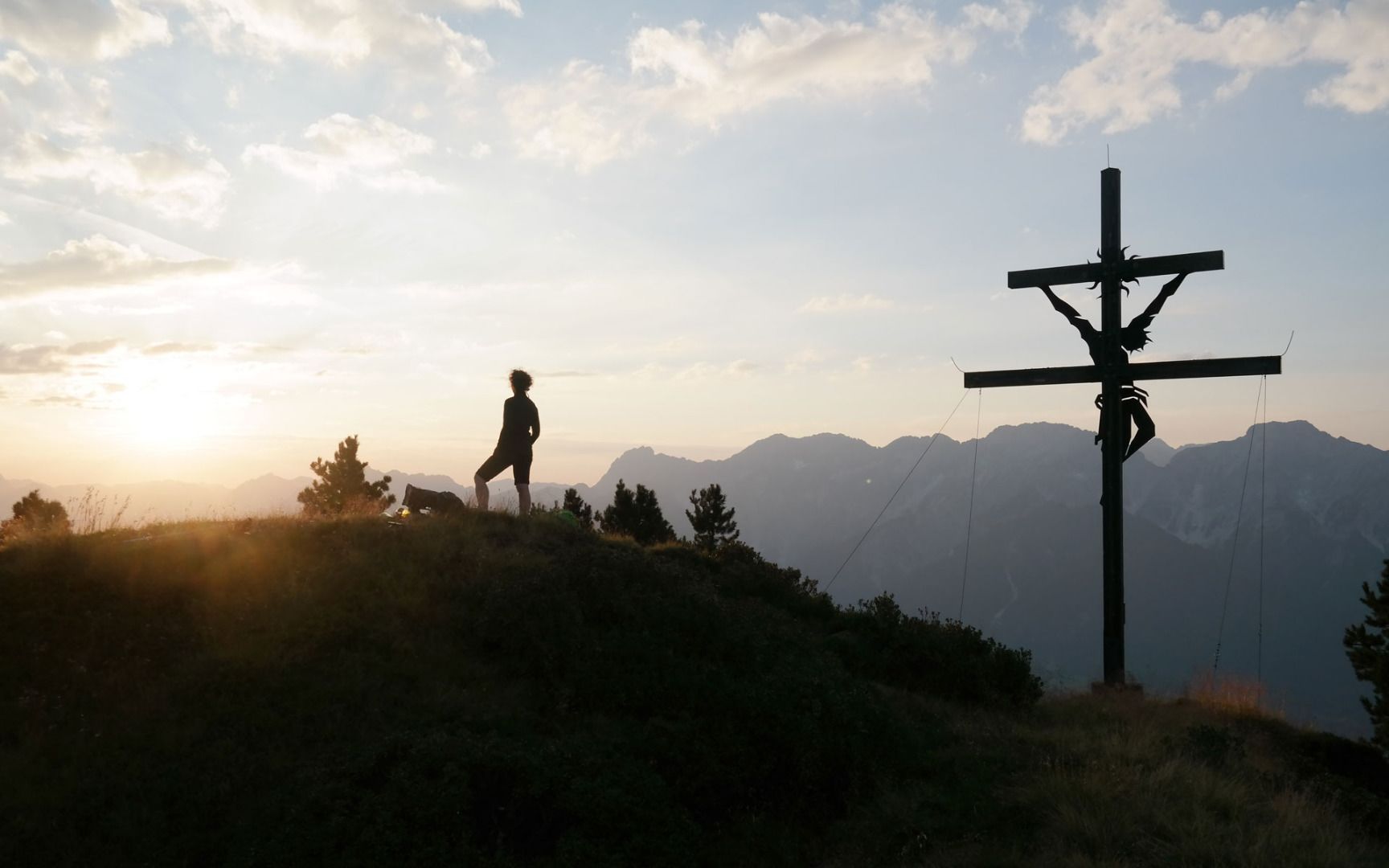
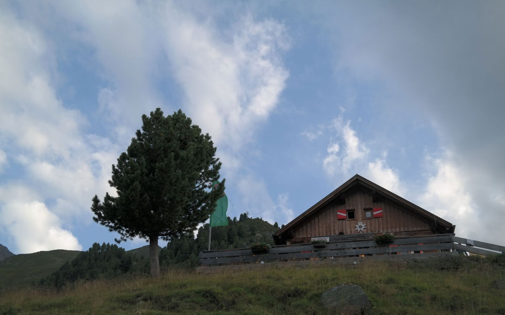
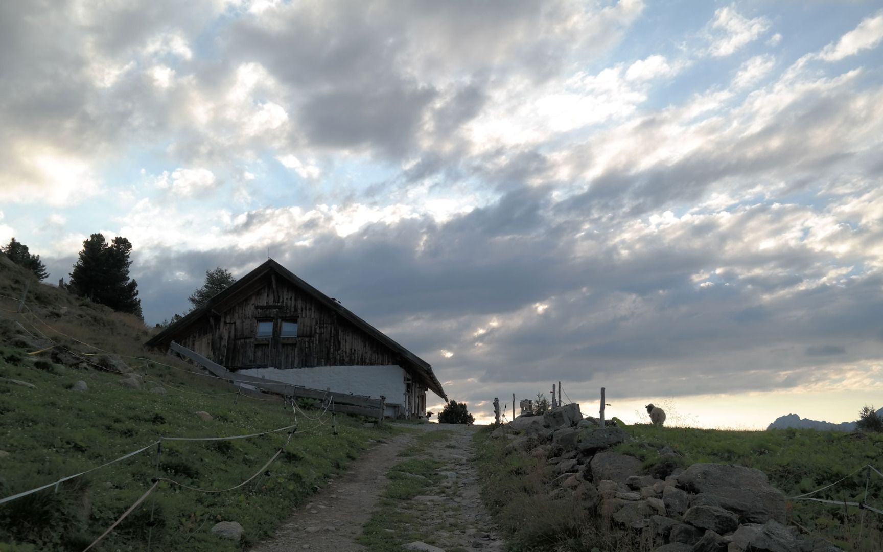
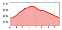
This hike starts at the "Grüne Bank" above Rietz and leads along a relatively steep alpine path (no. 153) up through the forest to the Peter-Anich-Hütte mountain hut (walking time about 1 hour). The route continues past the Unterseeben Alm hut (not open to the public) and then bears right along the Rundwandersteig trail up to the summit cross on Rauher Kopf peak. From the Rauher Kopf, the trail continues up over a ridge to the Angersee, an idyllic mountain lake located in a depression next to the "Schafers Hüttl" hut (not open to the public). From there, the route passes through beautiful alpine meadows to the Peter-Anich-Hütte mountain hut and then continues along a forest road, which is steep in parts, back to the starting point.
Tips | notes: You need a permit in order to drive to the starting point. The permit is free of charge and is available at the town hall in Rietz or online at www.rietz.at). This saves you two hours of walking time. The journey is possible in a normal car. Please note: after heavy rainfall, the road is difficult to drive and an all-terrain vehicle is recommended.


