

Difficulty:difficult
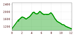
Length:85.1 kmDuration:35:00 hElevation uphill:6,805 m
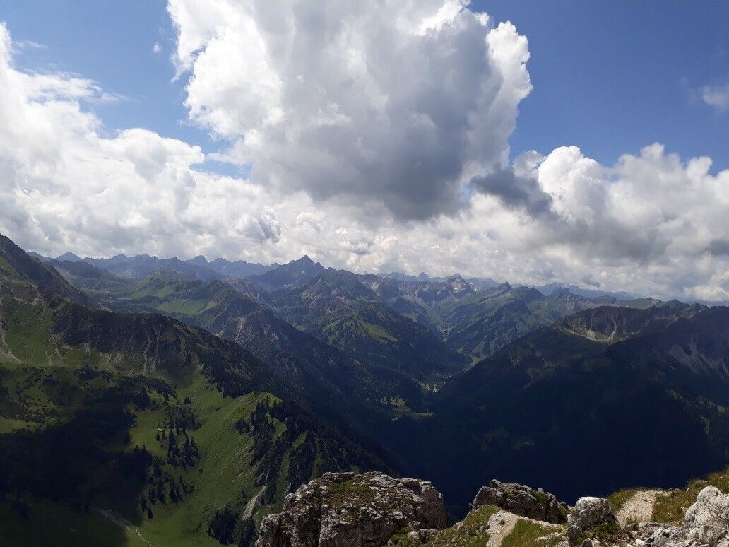
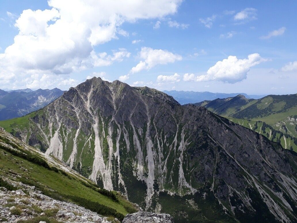
Short description:An extremely appealing and panoramic 3-summit tour to the Bscheißer, the Ponten and the Rohnenspitze with a fascinating view of the "most beautiful high valley in Europe" and the neighbouring Allgäu.Quality of experience: ******Recommended season:MayJuneJulyAugustSeptemberOctoberProperties:LoopScenicRefreshment stops availableGeological highlightsBotanical highlightsFaunistic highlightsCableway ascent/descent
Description:
This attractive mountain tour was awarded with the Tiroler Gütesiegel at the beginning of July 2017 and promises quality and safety on the hiking and mountain trails as well as nature experiences of a special kind.Directions:
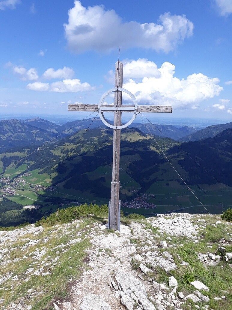
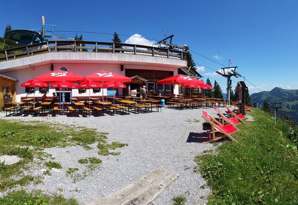
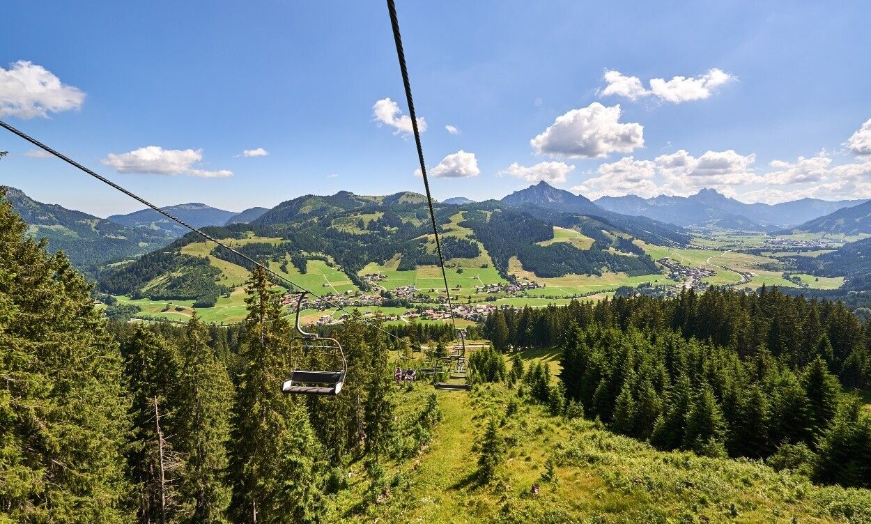
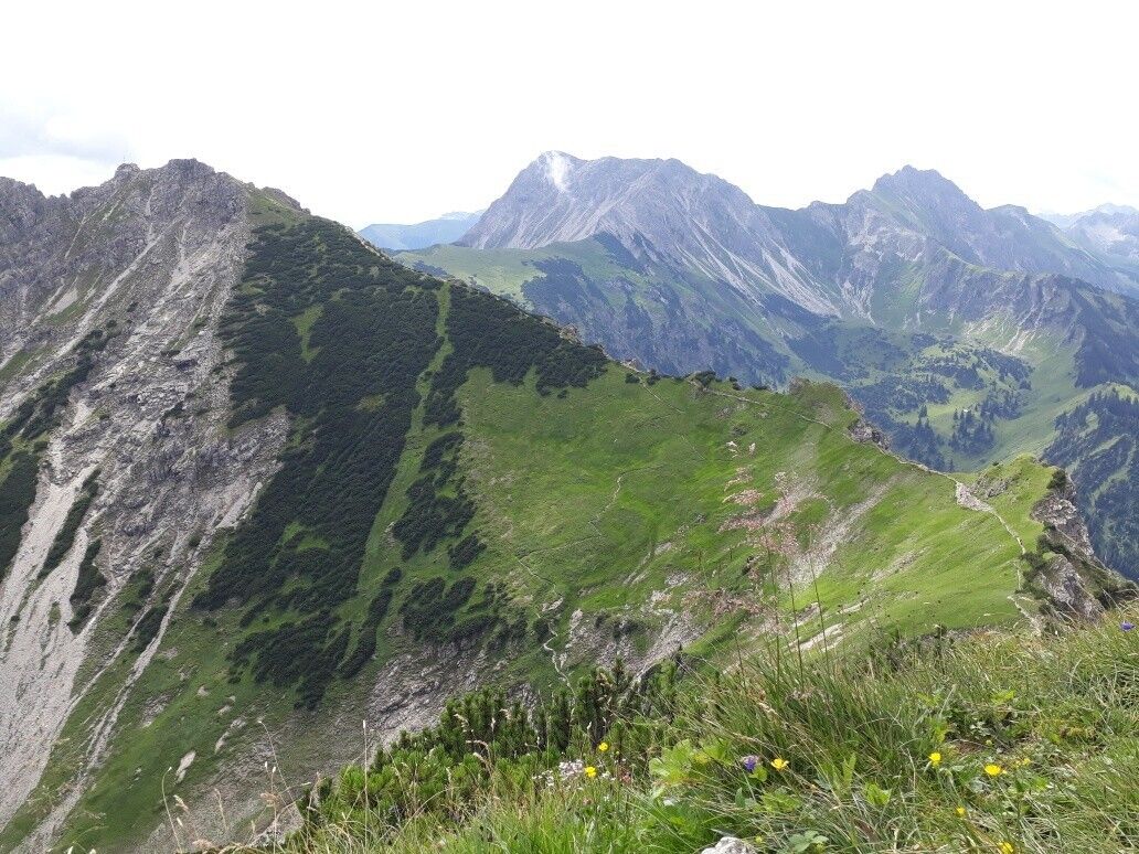
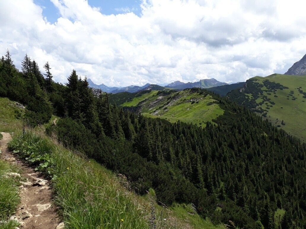
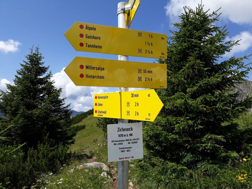
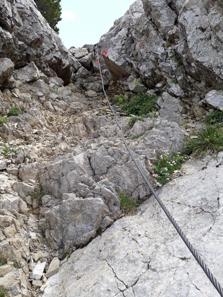
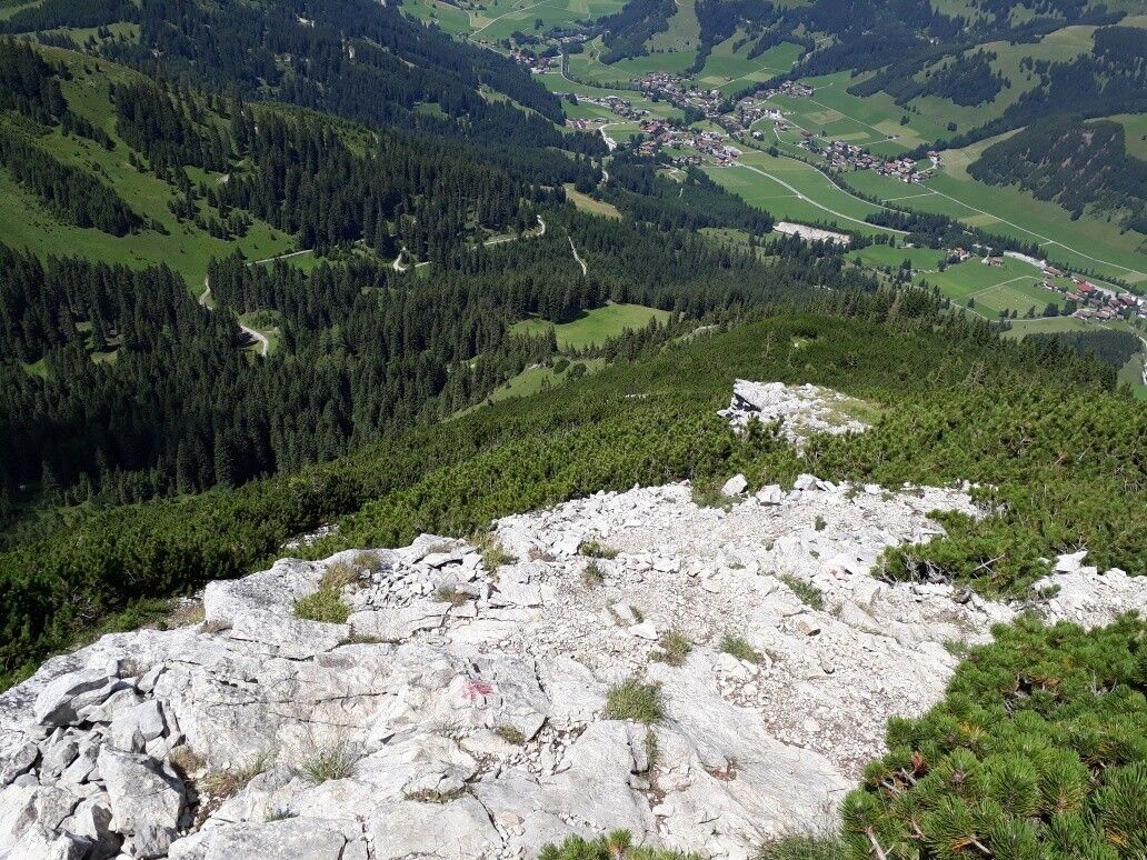
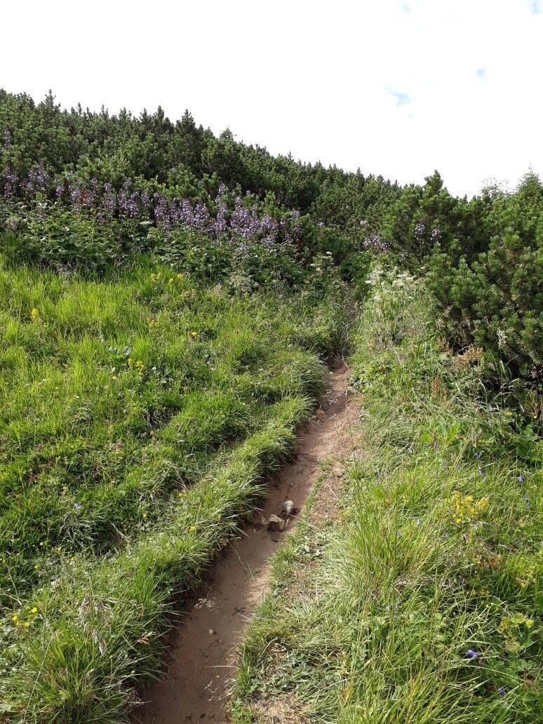
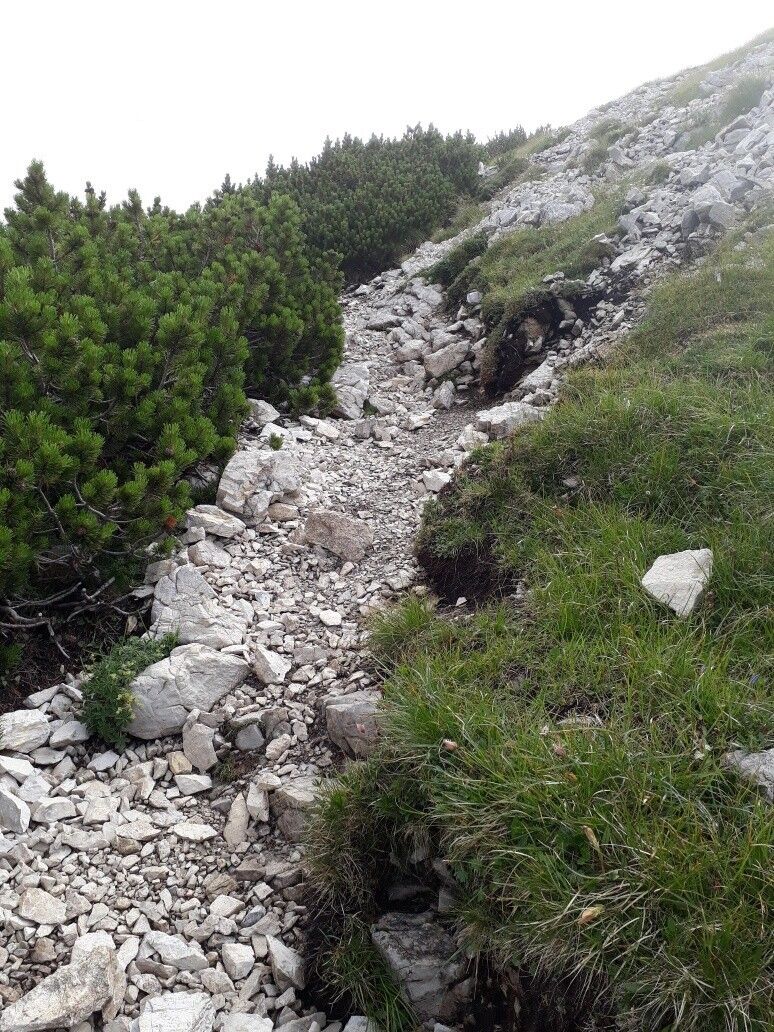
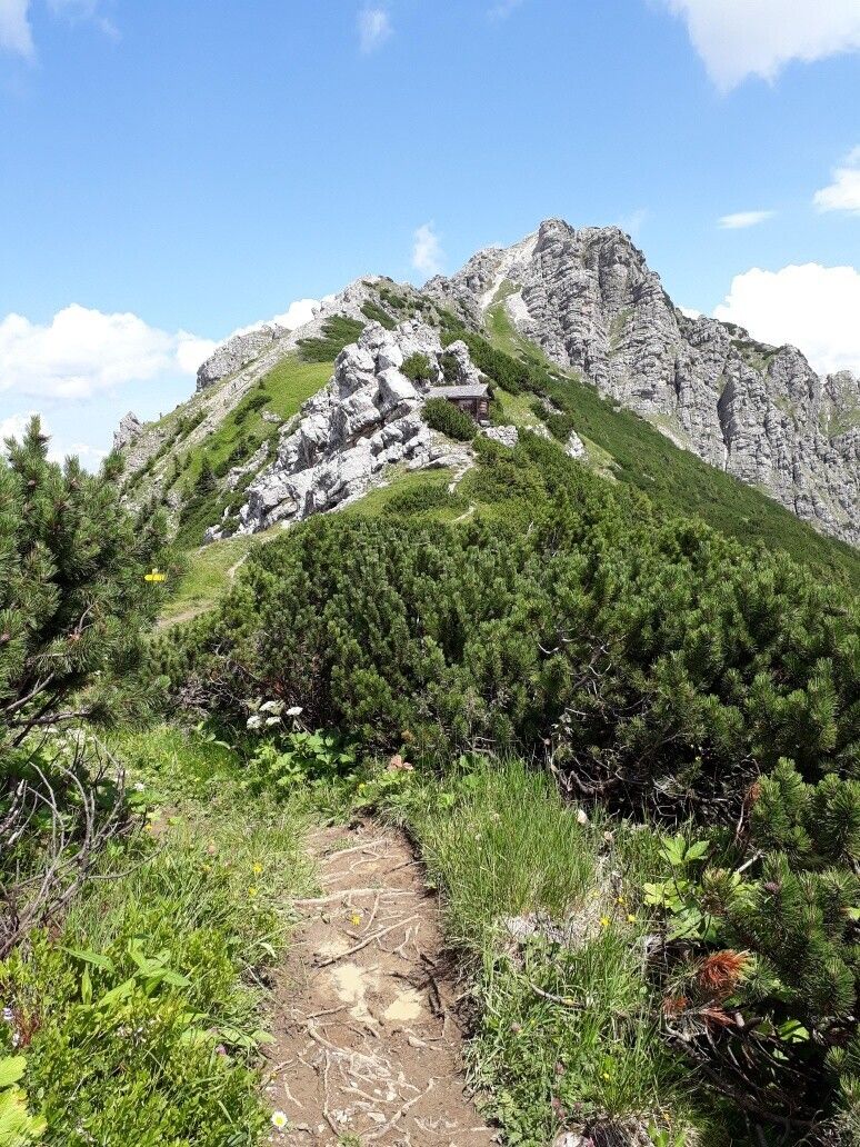
Starting point of the tour is the valley station of the Wannenjochbahn in Schattwald. With the 3-seater chair lift you can take a leisurely ride uphill. Arrived at the top station, we pass the playground "Michl-Land" on the right and follow the signs towards Bscheißer. After the first ascent, the path first leads downhill over alpine meadows - be careful when wet - danger of slipping due to partly clayey ground - then ascending again, shortly before the summit the path turns into gravel. Then the descent to Güntle and a short ascent towards Ponten.The path to the Rohnenspitze leads for the time being a good piece downhill over Zirleseck until we finally see the mountain guard hut. We pass it on the left. The ascent towards the summit is secured with a wire rope. Surefootedness is required! It goes moderately uphill until we finally see the summit cross.The descent runs underneath the summit cross on initially coarse gravel, changing to finer gravel. We follow the yellow signs towards Schattwald. The way to the lift parking lot of the Wannenjochbahn runs on a wide gravel road as well as on narrow hiking trails.Tip:
Enjoy the snack you have brought with you and the wonderful view from the respective peaks!Safety guidelines:
It should be noted that in mountaineering there is an increased risk of accidents and injuries. Despite careful route planning, a basic risk always remains. Tour preparation through endurance sports, appropriate technical training and further education as well as personal prudence reduces the danger of accidents and risks. However, please never forget that the weather in the mountains can change very quickly. Stay on the marked hiking trails.Equipment:
The personal mountaineering equipment must be safe and serviceable and meet the relevant technical standards. Every hiker is recommended to obtain information about the planned tours from specialist alpine literature or on site.


