
Opening hours:Open today
Place:
Wildschönau
:
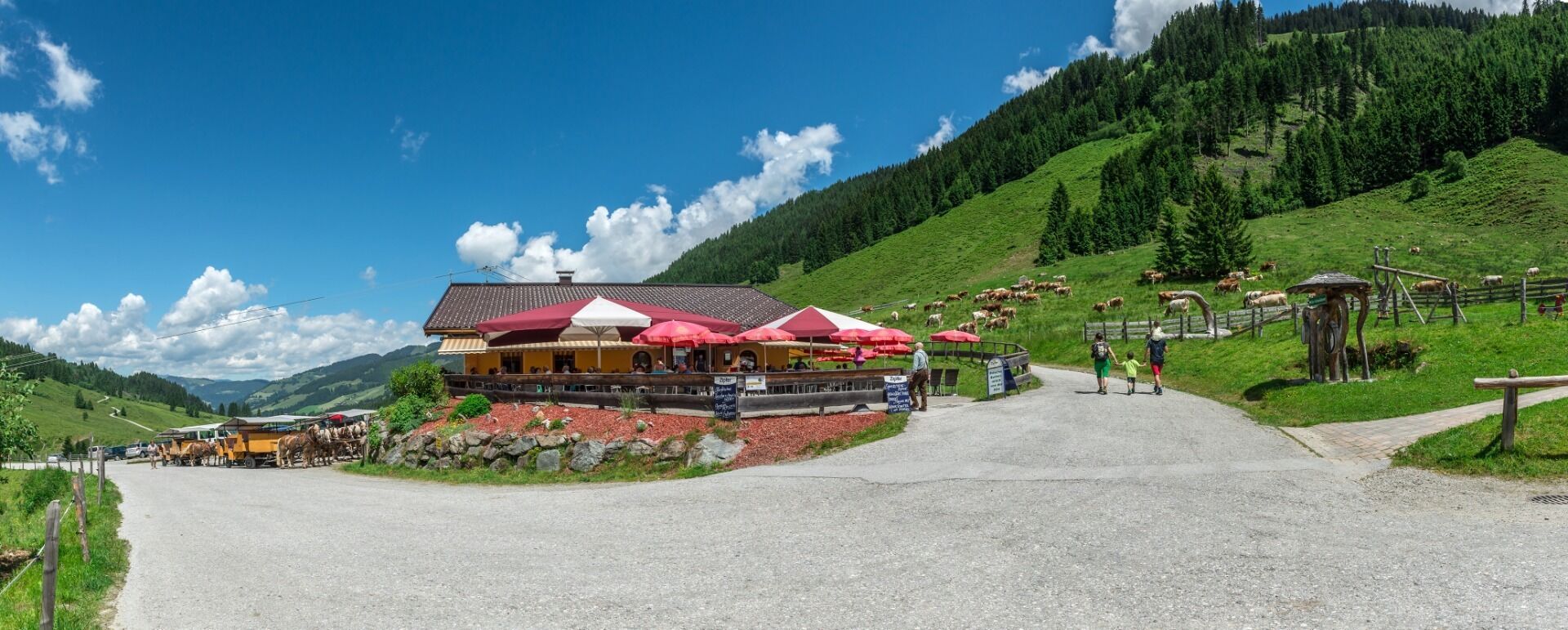
Restaurant, Alpine pasture / hut / mountain restaurant
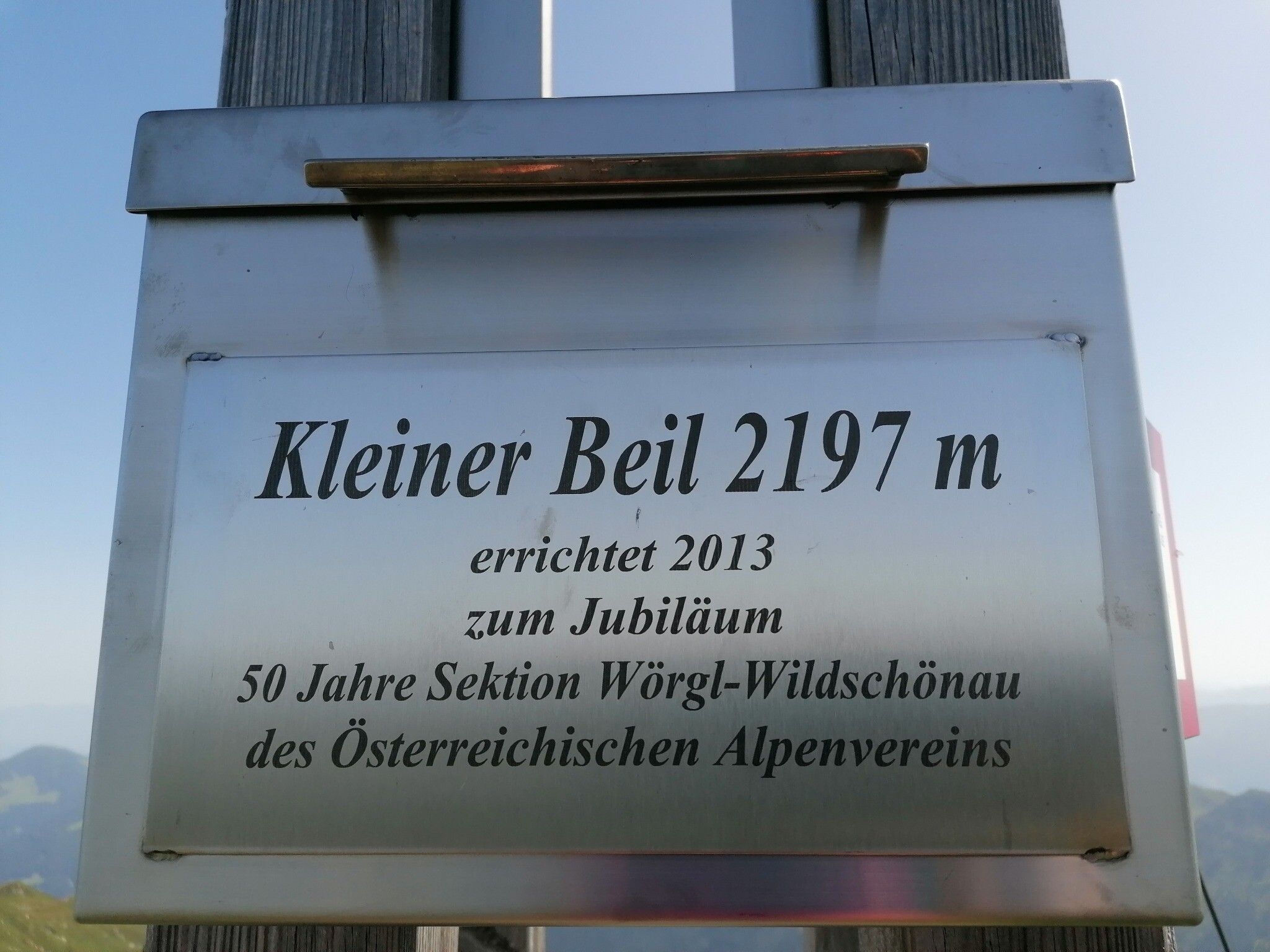
The little brother of the Wildschönau's highest mountain, Grosser Beil
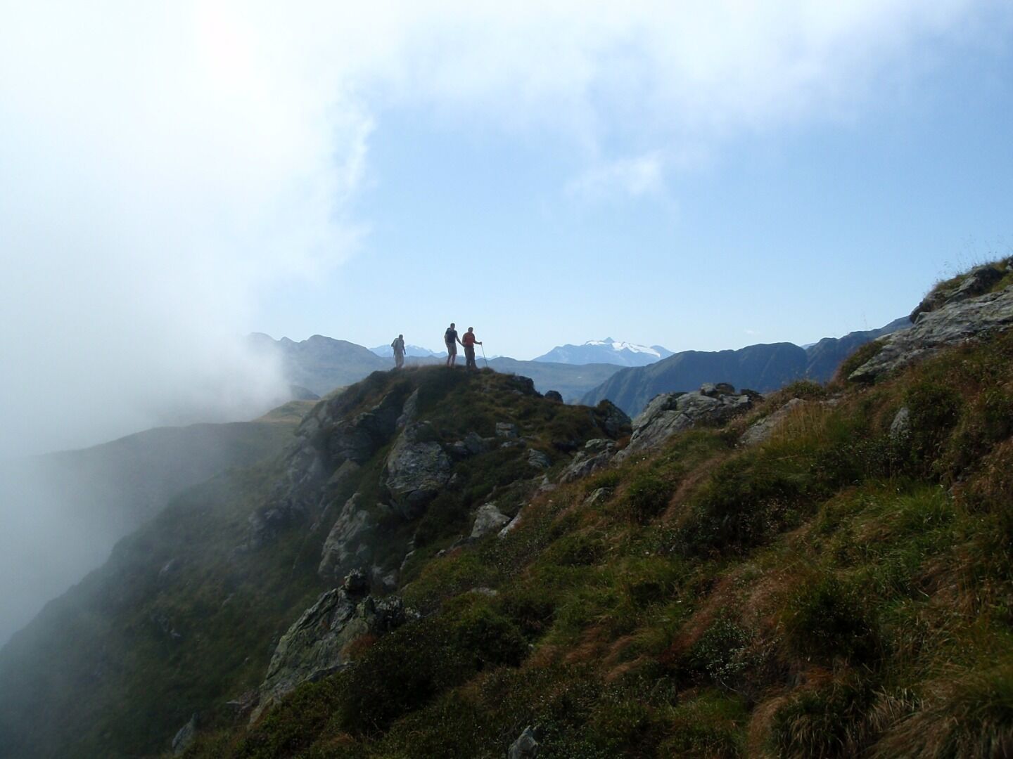
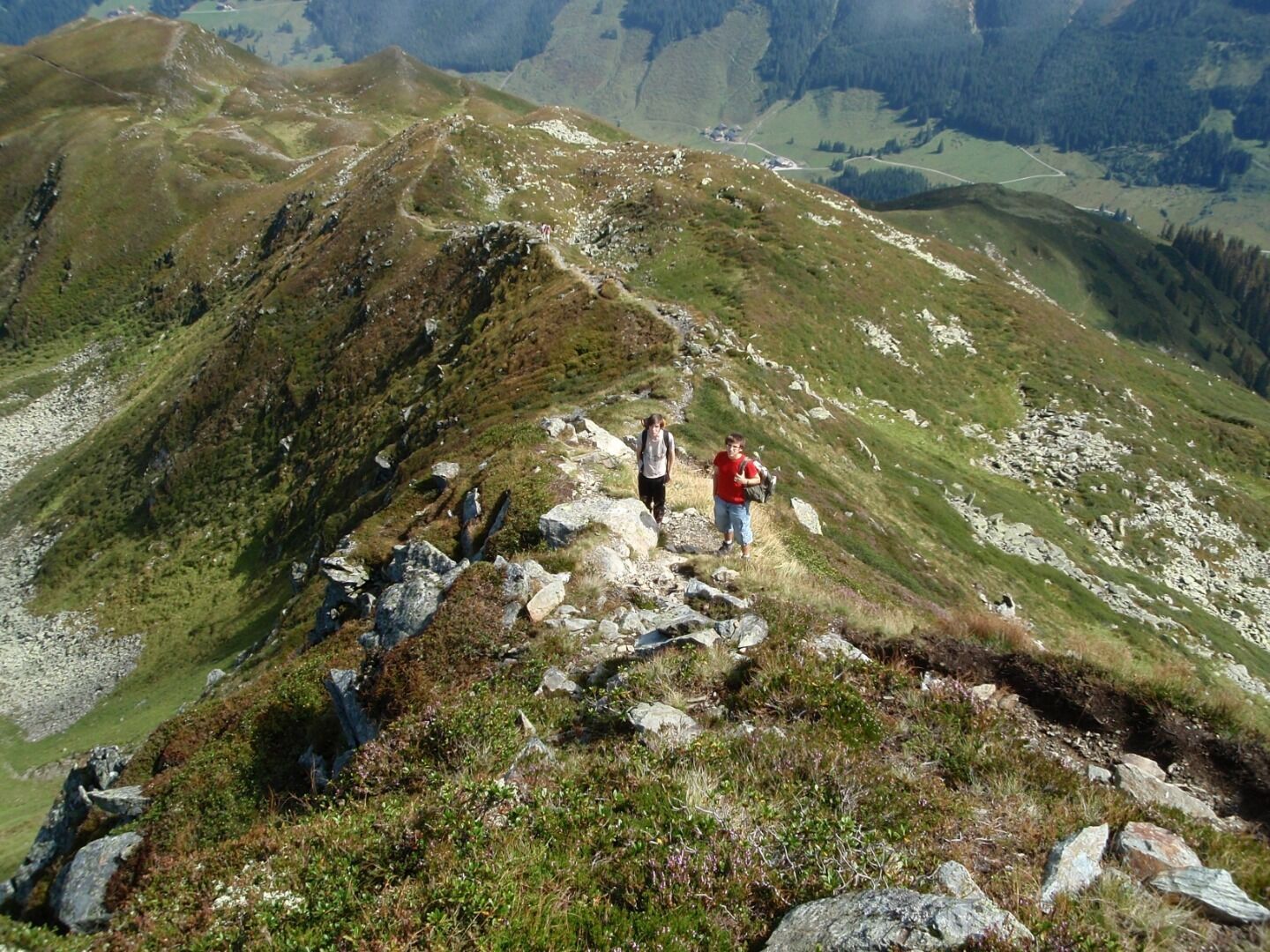
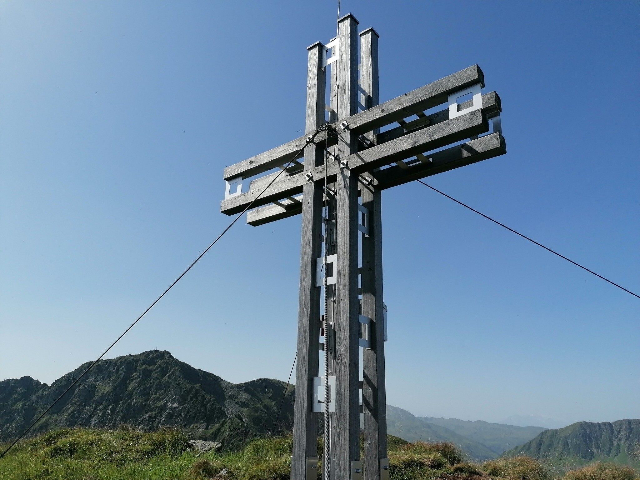
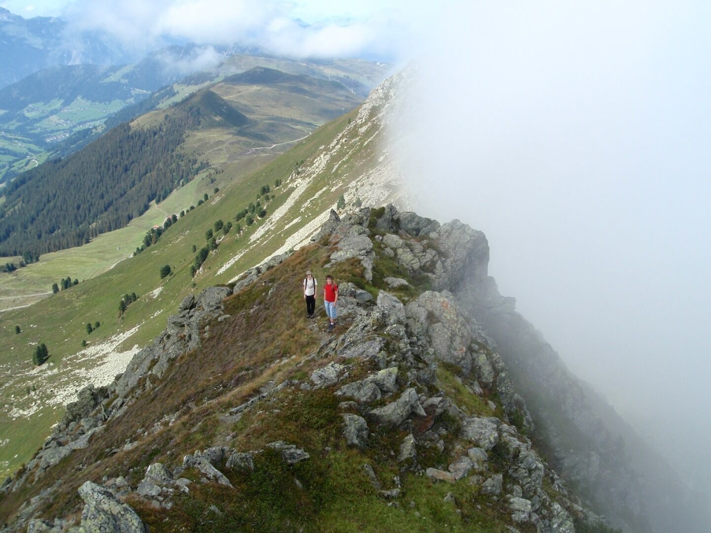
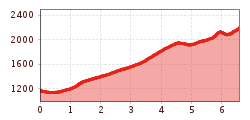
The hiking path leads from the Schönanger Alm past the Farnkaser Alm and the highest pasture in the Wildschönau valley the Seefeld Alm. From the bridge before the Schönanger Alm guesthouse follow signs to the Farnkaser Alm in a southerly direction. From the forest the path rises steeply. Across the stream you reach the Farnkaser Alm. Follow signs to the Seefelder Alm. Behind the alm follow the steep path to the summit cross, which is only visible just before the end.


