Mountain hikes Schönanger-Großer Beil

Wildschönau / Kitzbüheler Alpen
Difficulty ratings: difficult
Route length: 7.2 km
Duration: 7:00 h

The Wildschönau's highest mountain

Tour information

  • Requirement: difficult
  • Length: 7.2 km
  • Duration: 7:00 h
  • Elevation uphill:1,109 hm
  • Elevation downhill:1,109 hm
Highest point2,309 m

Starting point

Schönangeralm-Auffach

Finishing point

Großer Beil
  • Fitness level 4 / 6
  • Technique 4 / 6

Best time of year

  • January
  • February
  • March
  • April
  • May
  • June
  • July
  • August
  • September
  • October
  • November
  • December
Source: Wildschönau (Region)

Description

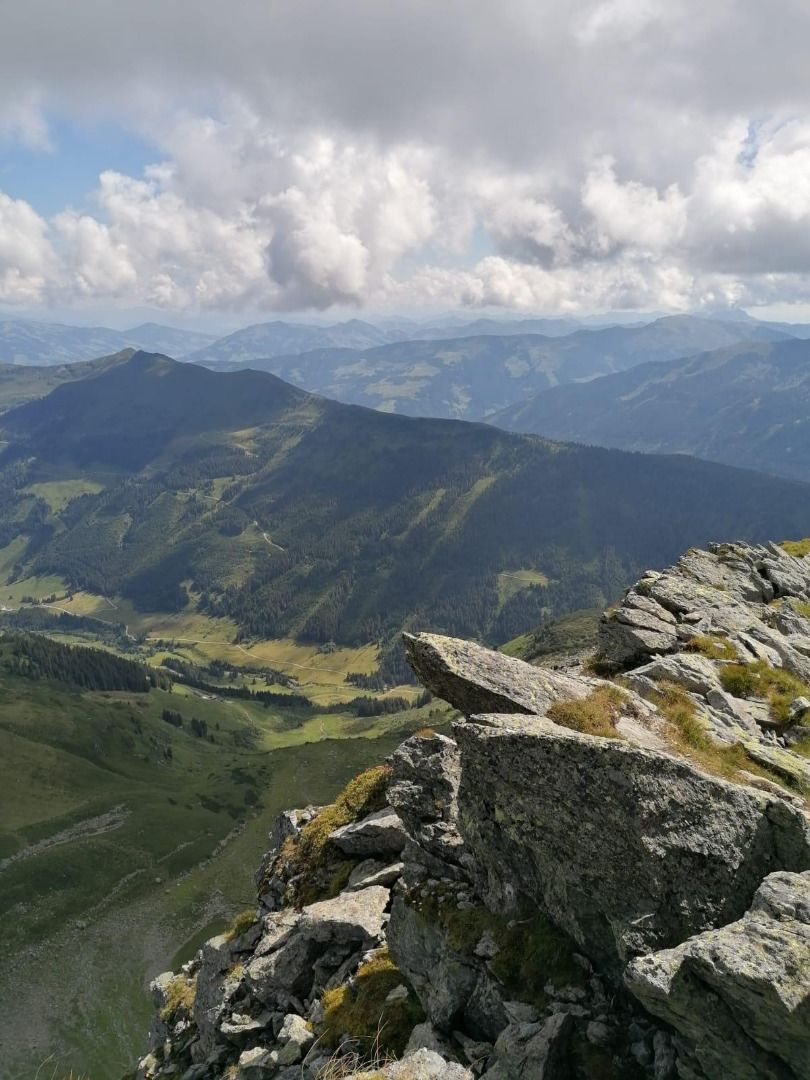
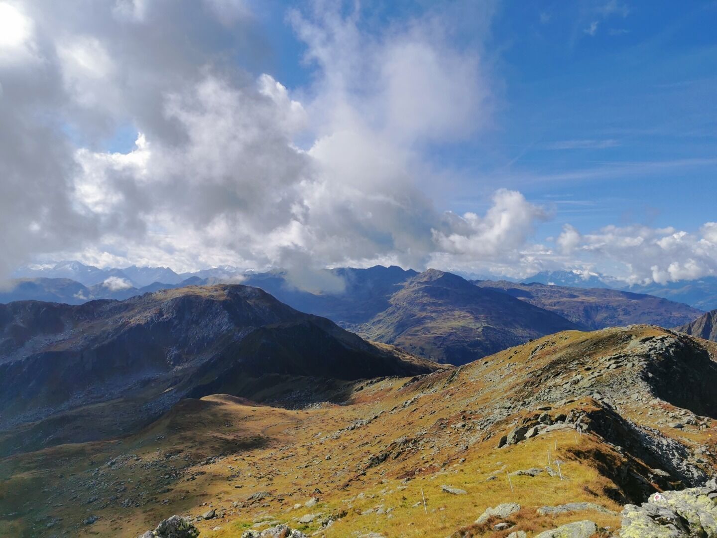
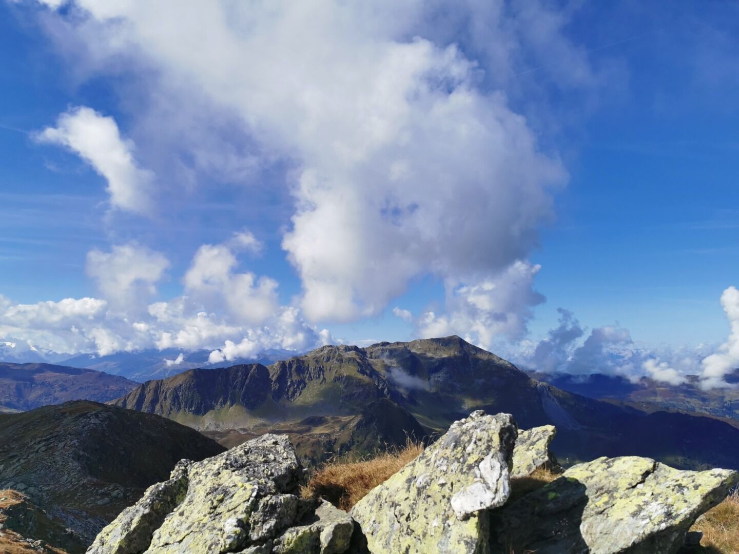
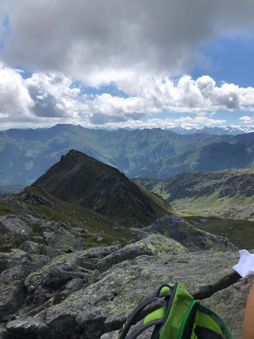
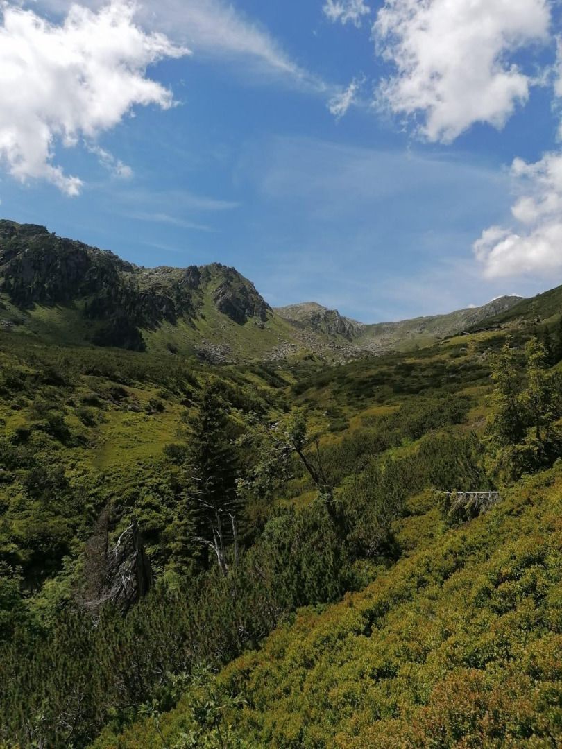
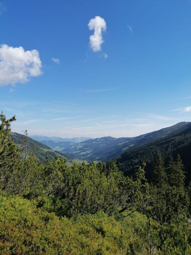
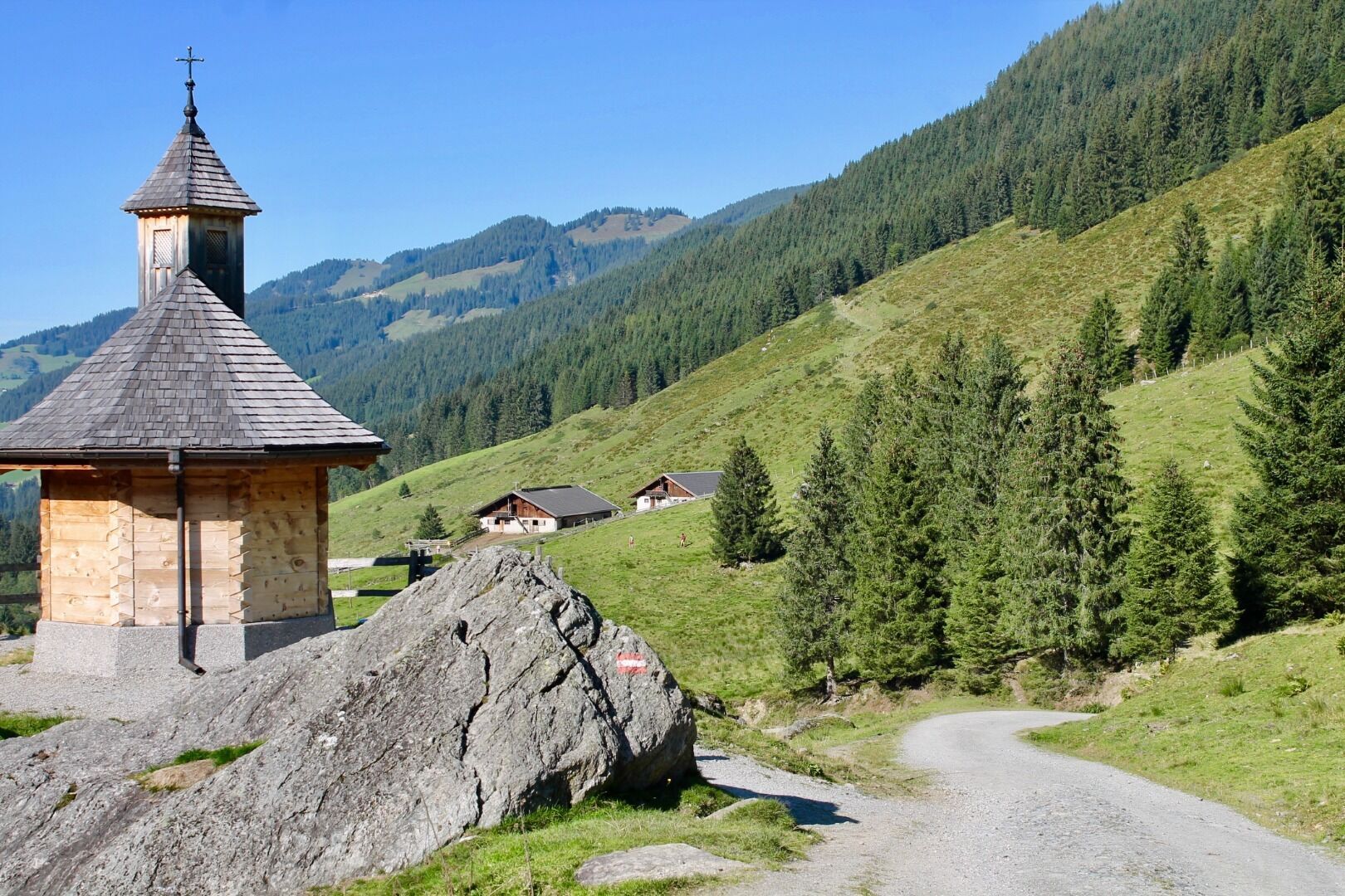
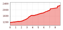
Start at the Schönanger Alm. Take the forest path to the Kundl Alm. From here follow route 5 to the waterfall and the Gressenstein Alm. The route splits after Gressenstein, take the right fork and the steep climb past mountain ponds to the sumit at 2309 m. Take the same route back to the Schönanger Alm.

Drinks can be fished out of the trough at the Gressenstein Alm. The Gasthof Schönanger Alm offers tasty Tirolean dishes.

Nearby huts and mountain restaurants

More tours in the surrounding area

Newsletter

The mountain is calling? So does our newsletter!

In our monthly newsletter we reveal the best holiday tips for Tyrol.