
Opening hours:Open today
Place:
Wildschönau
:
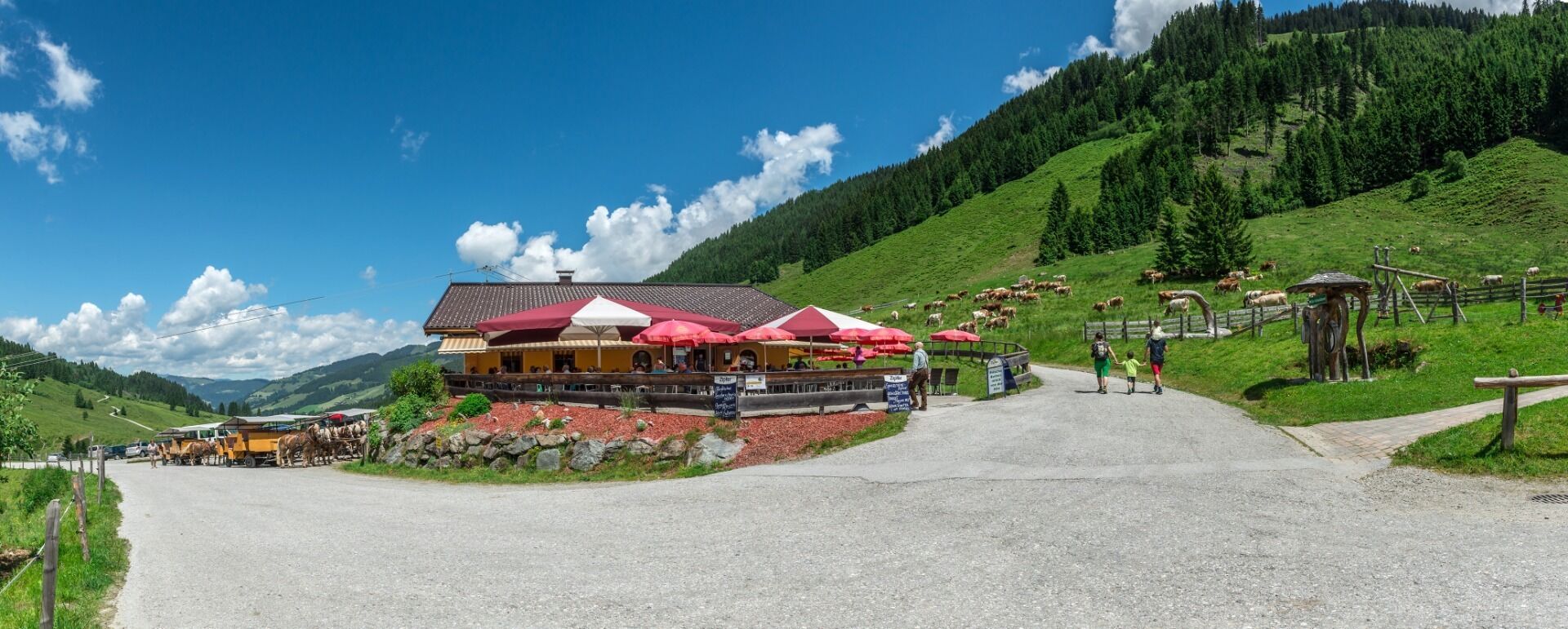
Restaurant, Alpine pasture / hut / mountain restaurant
Vorbei an einem unterirdischen Wasserfall
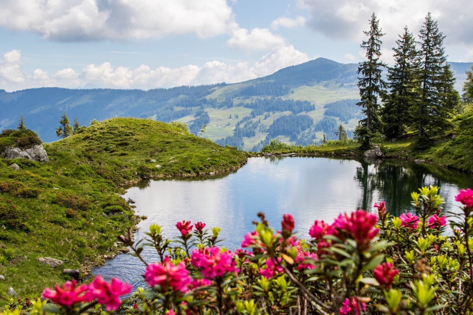
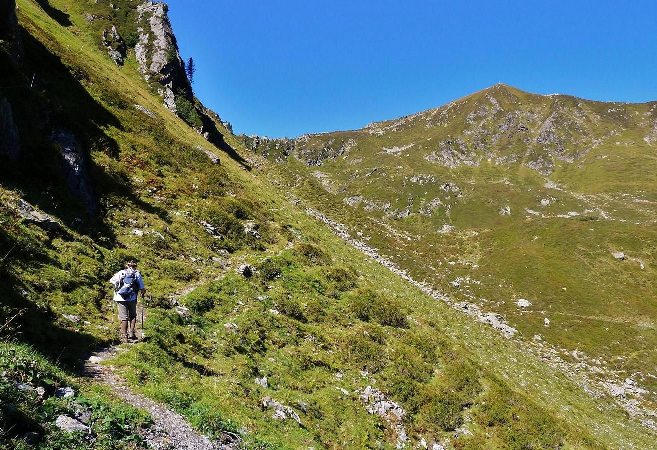
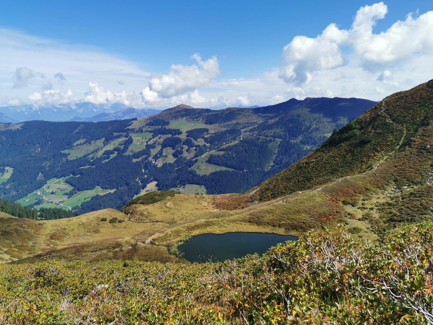
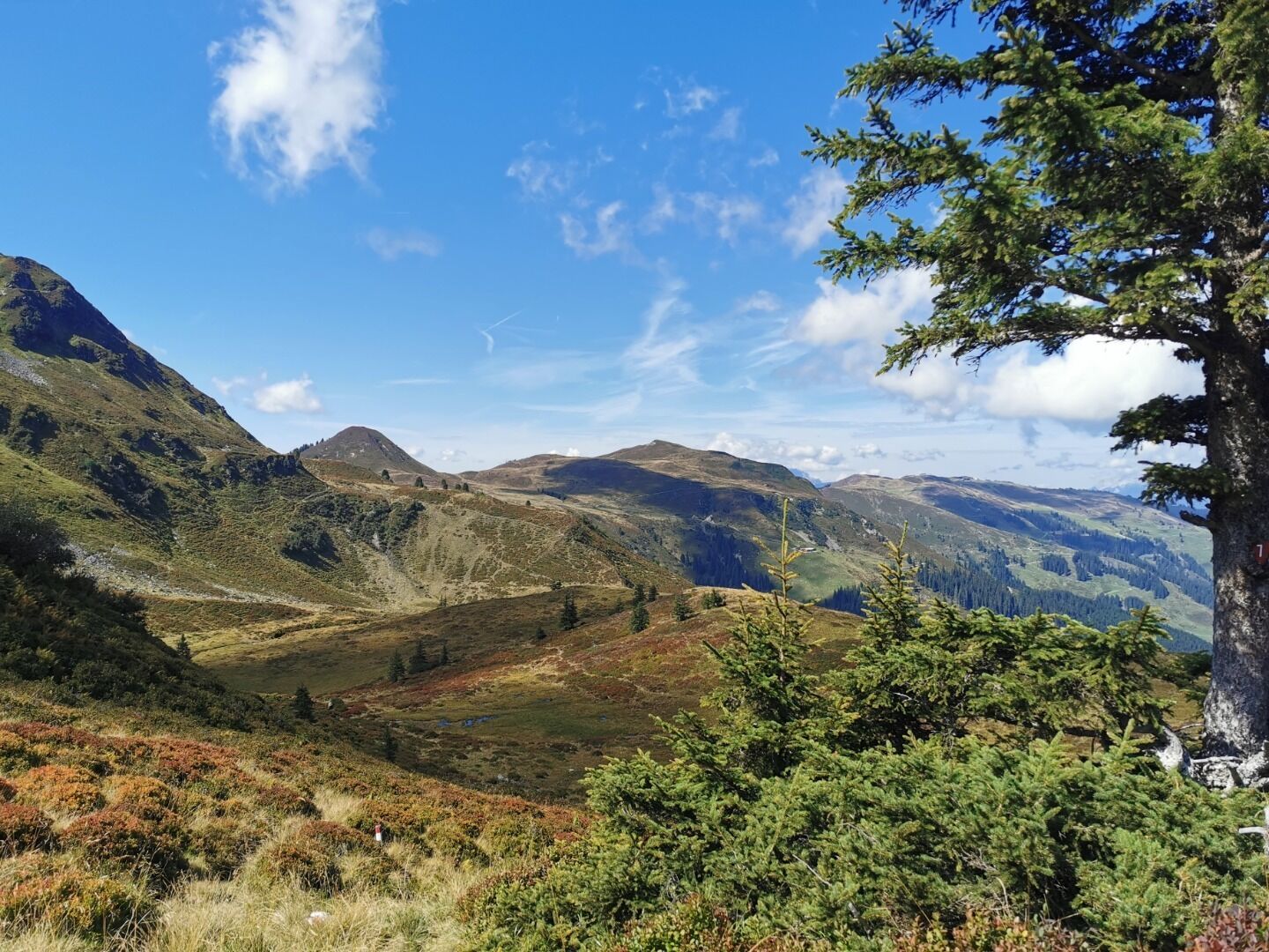
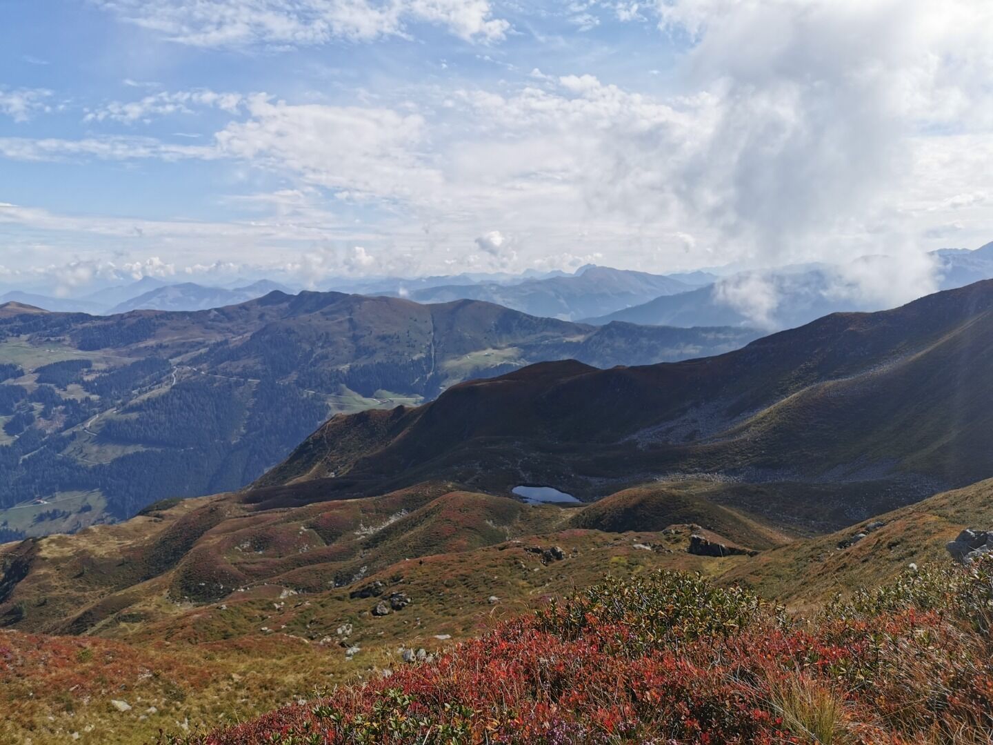
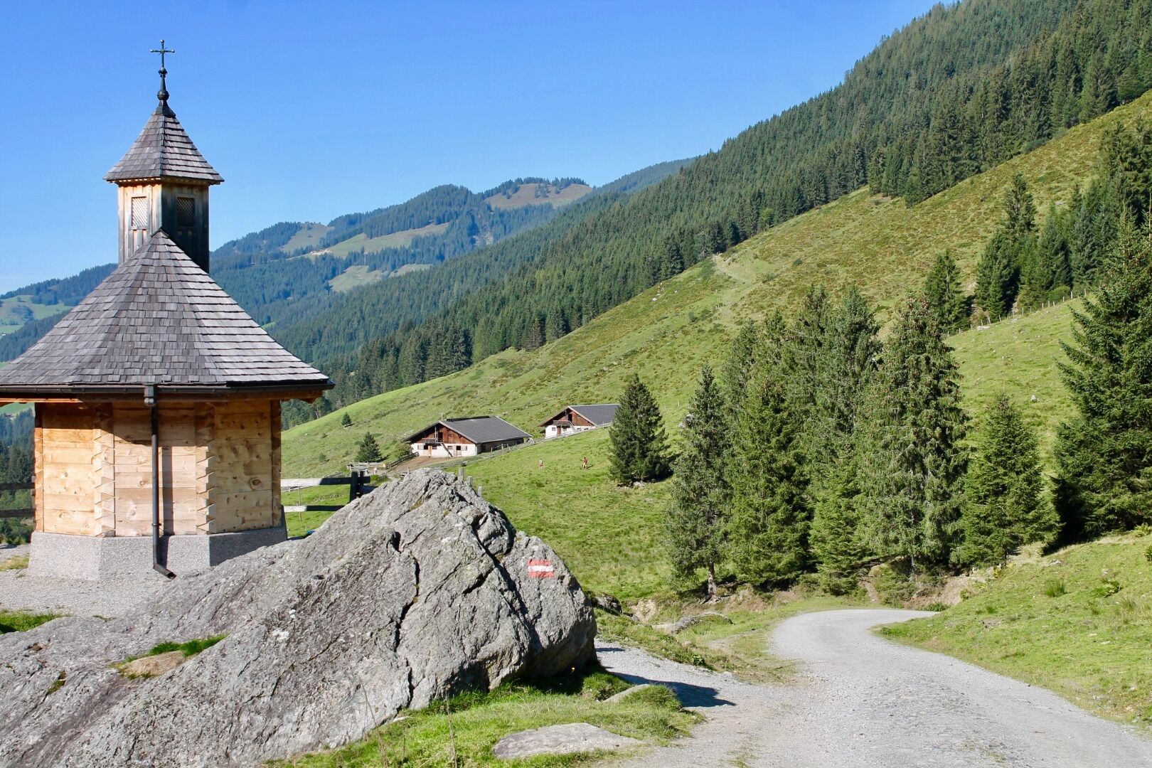
Start at the Schönanger Alm on route 7 to the Hönigkaser Alm. A little before the alm the path turns left and takes you to the Streifer Alm and the Meerauge, a small but deep pond where you can swim. At the Goldmühle you can hear an underground waterfall. The path continues up steeply to the summit.


