Mountain hikes Vorderhornbach - Krackwiesenrunde

Vorderhornbach / Allgäuer Alpen
Difficulty ratings: easy
Route length: 4.0 km
Duration: 1:10 h

Beautiful family hike along the Hornbach stream and across lush flower meadows.

Tour information

  • Requirement: easy
  • Length: 4.0 km
  • Duration: 1:10 h
  • Elevation uphill:71 hm
Highest point1,027 m

Starting point

Badino natural bathing pond

Finishing point

Starting point
  • Fitness level 1 / 6
  • Technique 1 / 6

Features

  • Circular route
  • Suitable for families

Best time of year

  • January
  • February
  • March
  • April
  • May
  • June
  • July
  • August
  • September
  • October
  • November
  • December

Trail condition

Asphalt, Gravel, path

Equipment

Good equipment is essential for your hike. The following items should definitely be in your rucksack: - Food and drink - Functional clothing for rain, wind and cold - A change of clothes - Sun protection - First aid kit - Mobile phone with a full battery (Euro emergency number 112) - Hiking map or GPS - Hiking poles Nevertheless, the following applies: light luggage is also easier to carry, so you should not weigh down your rucksack with unnecessary ballast. In addition, your hiking equipment should of course also be adapted to your particular hiking tour.
Source: Lechtal-Reutte

Description

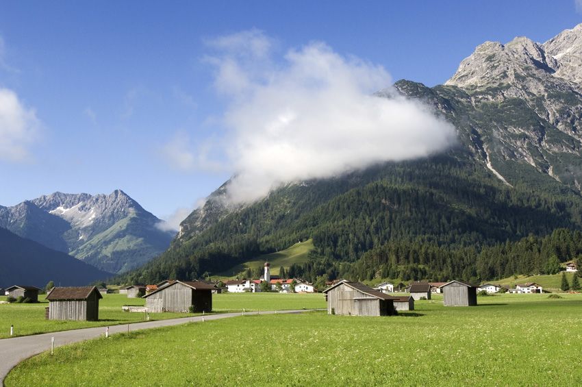
Your hike takes you along the road to the Hornbach bridge, which you cross and follow the "Krackwiesen" signpost. Your path runs along lush flower meadows and beautifully flooded forests to the footbridge over the Hornbach. Later you cross the main road and follow the forest path back to Vorderhornbach.

Getting here

  • Arrival by public transport

    Regiobus stop Vorderhornbach-GH Kreuz

  • Parking

    Car park at Badino, free of charge

More tours in the surrounding area

Newsletter

The mountain is calling? So does our newsletter!

In our monthly newsletter we reveal the best holiday tips for Tyrol.