Mountain hikes Wetterkreuz und Rudersburg

Kössen / Chiemgauer Alpen
Difficulty ratings: difficult
Route length: 11.3 km
Duration: 5:00 h

Trail Nr.: 24, 23

Tour information

  • Requirement: difficult
  • Length: 11.3 km
  • Duration: 5:00 h
  • Elevation uphill:1,259 hm
  • Elevation downhill:1,262 hm
Highest point1,393 m

Starting point

Parking lot Staffen

Finishing point

Parking lot Staffen
  • Fitness level 4 / 6
  • Technique 5 / 6

Features

  • Circular route

Best time of year

  • January
  • February
  • March
  • April
  • May
  • June
  • July
  • August
  • September
  • October
  • November
  • December

Trail condition

Gravel, path

Equipment

Breathable outdoor clothing suitable for the weather, sturdy footwear, food (snacks, drinks),
sun protection (sunglasses, sun cream & cap), rain protection, cash; guest card if using the bus
Source: Kaiserwinkl

Description

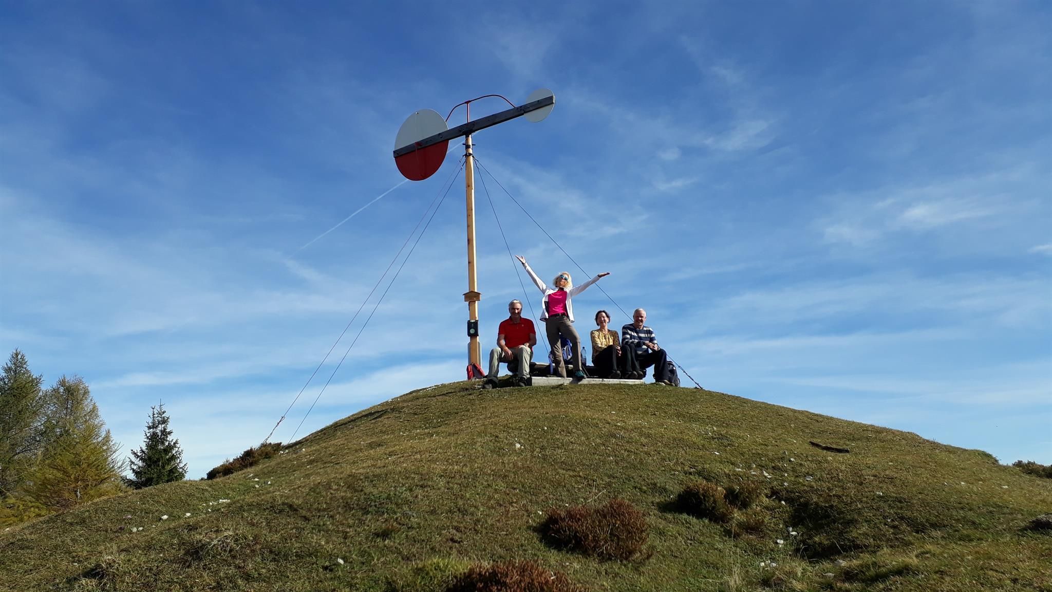
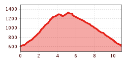
At the Staffen parking lot northwards the Naringbergstraße starts. Follow this road for about half an hour until a broad forest road branches off to the right on Hinhagalm. There, walk on, right over mountain pastures up to the weather vane. From here follow the harmless grassy ridge on climbing tracks westwards to the Wetterkreuz. In the same direction - pay close attention to the markings - you walk first flat, then with a short climb, before it goes on the south side of Rudersburg about 100 m over a meadow and through a forest to a small ditch and a boggy passage. Descend at the junction towards Naringalm, back to the starting point.

Nearby huts and mountain restaurants

Getting here

  • Arrival by public transport

    Take the bus line 4030, 4000 or 9509 to the stop VZ Kaiserwinkl

  • Parking

    Parking lot Staffen

More tours in the surrounding area

  • Taubensee

    Difficulty: medium
    Length: 13.0 km Duration: 5:00 h Elevation uphill: 620 m
Newsletter

The mountain is calling? So does our newsletter!

In our monthly newsletter we reveal the best holiday tips for Tyrol.