Andi Frank (247).jpg")
Difficulty:easy
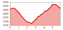
Length:30.5 kmDuration:2:00 hElevation uphill:125 m
Short circuit with some steep climbs and a beautiful single trail at the end of the circuit – suitable for hot summer days
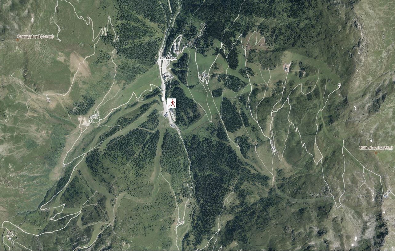
The start heads down towards Fuegen on the right hand side of the main road. The gravel path of Finsinggrund leads along the left hand side of the brook for almost 2km. After crossing the brook, the trail leads over serpentines, partly with steep uphill gradients, to the lower meadows of Keglalm pasture and further on to a horse stable. Turn right here. The track leads to a narrow trail, which then leads back to Hochfuegen.


.jpg")
Manfred Pfister.jpg")


