
Difficulty:
medium
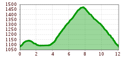
Length:
94.5 km
Duration:
3:45 h
Elevation uphill:
877 m
Short description:Great route, the path leads us past the raised bog Lohmoos.Technique: **Quality of experience: ******Recommended season:MayJuneJulyAugustSeptemberOctoberProperties:LoopScenicRefreshment stops availableGeological highlightsBotanical highlightsFaunistic highlights
Description:
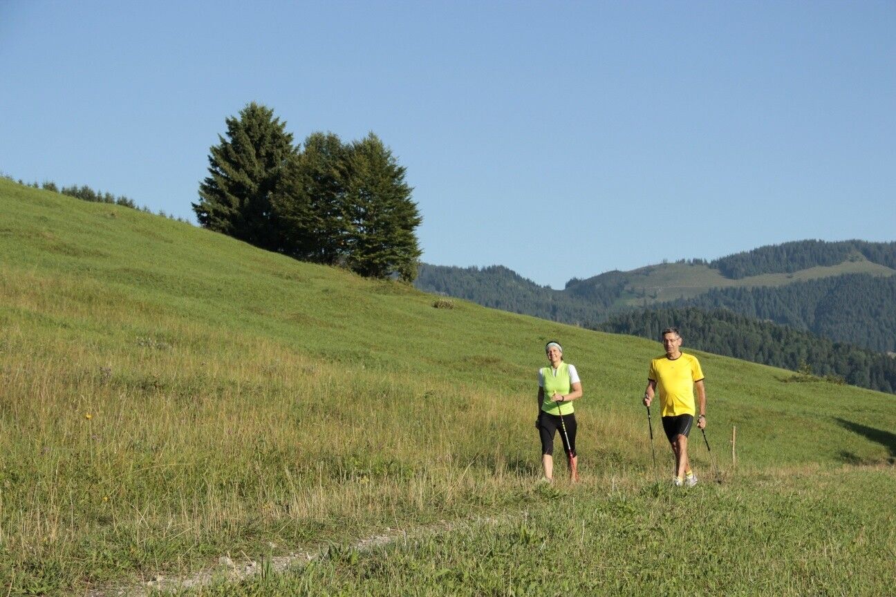
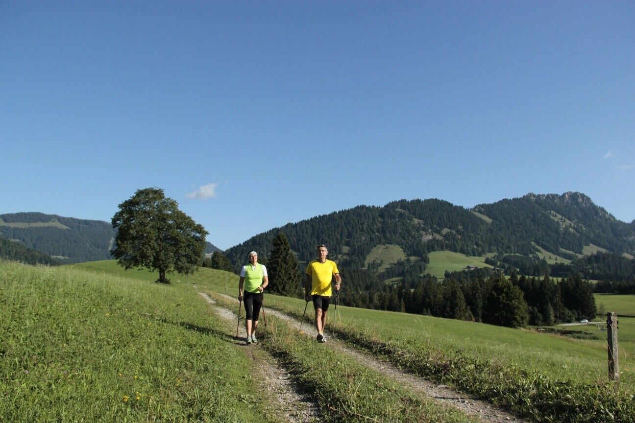
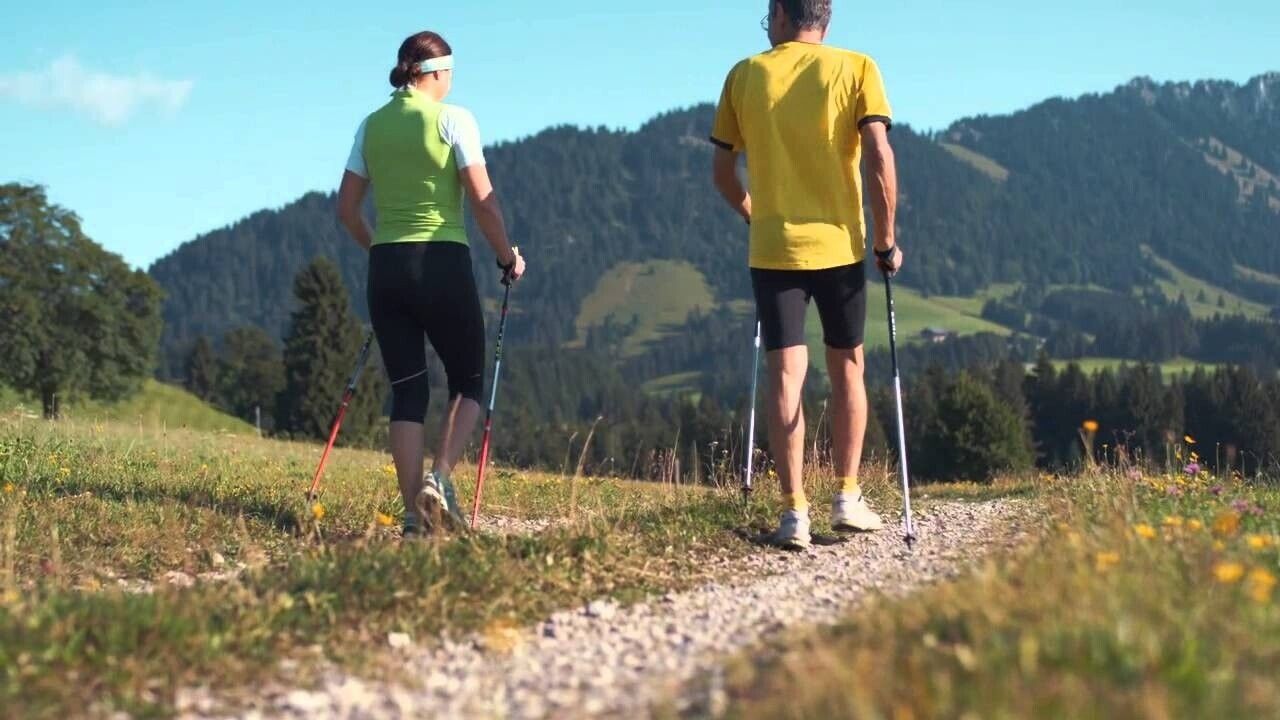
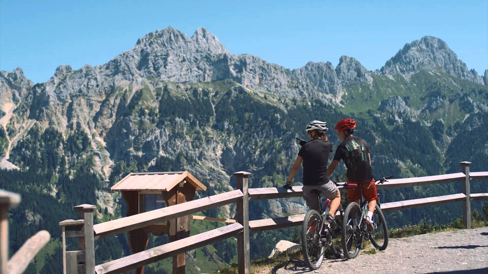
Experience the running and Nordic walking arena Tannheimer Tal
Whether breathless beginner or well-trained mountain athlete: In the Tannheimer Tal, everyone benefits who wants to move in fresh air and explore the surrounding mountains on foot. Every day, all active people, from amateur athletes to professionals, face the choice: The largest network of trails in Tyrol offers 26 marked routes over a total of 186 kilometers. Beginner loops are included as well as demanding mountain runs. And so all guests know which path suits their condition and requirements, a specially developed map and small signs provide information about elevation profile, difficulty level and route length - the running and Nordic walking map.
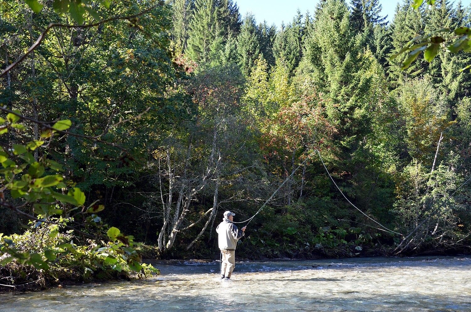
Along meadows, over green alpine pastures, by sparkling mountain lakes... walking and running in the Tannheimer Tal is not only the best training for the body but above all a balm for the soul. The starting points for all those eager for movement are in the six villages Tannheim, Grän-Haldensee, Nesselwängle-Haller, Zöblen, Schattwald and Jungholz. From here, walkers, Nordic walkers and runners follow the signposts. They are easy to recognize: little figures with poles. Furthermore, all routes, just like ski slopes, are divided into categories black, red and blue. An optimal marking which contributed, among other things, to the fact that probably the most beautiful high valley of Europe has officially called itself "Running and Walking Competence Center" since 2005. Directions:
Head north through Zöblen and before the bridge turn right continuing east. Follow the high path until the district of Kienzerle, turn right past the campsite, then left heading east parallel to the small stream until just before the federal road. East along the Vils and Berger Ache, at the bridge turn left into the district Berg and keep left. After the last houses turn right to the ascent towards Einstein. Continue over the Lohmoos to the Häldeler Berg, there turn left to the Zugspitze viewpoint. After the descent via the Halde back to the starting point.
This route can also be done from Tannheim (starting point parking lot Berg).
Wild chives grow around the raised bog Lohmoos
Safety guidelines:It should be noted that running and walking sports carry an increased risk of accidents and injuries. Despite careful route planning, there is always a basic risk. Preparing for the route by endurance training, appropriate technical training and education, as well as personal caution, reduces the risk of accidents and dangers.
Equipment:Personal equipment must be safe and functional and meet the respective technical standard. It is recommended that everyone informs themselves about the planned routes in specialist literature or on site. Complete equipment is strongly recommended even for experienced persons!
Additional information:.jpg")


