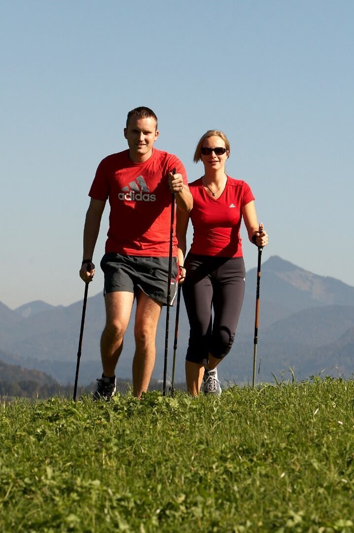
Running and Nordic walking route
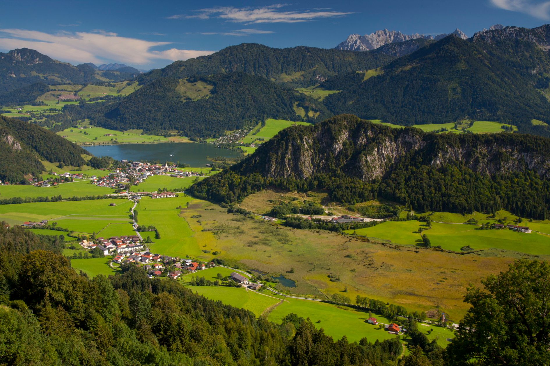
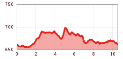
From the information office Walchsee to the church, turn right over the footpath and the Ramsbach bridge in the direction of the tennis halls, turn left to the Schusterbauer, follow the municipal road to Durchholzen, at the Liftstüberl turn left to the Zahmer Kaiser lift, continue in the direction of Kufstein. Passing cheese dairy Plangger (only production), follow the road for the second time on the right. At the junction keep left and pass "Schwemm" and golf course, cross the bridge to the playground, and continue to the village center back to the info office.


 bernhard bergmann.JPG")

.jpeg")
