Hut Peter-Anich-Hütte

Rietz

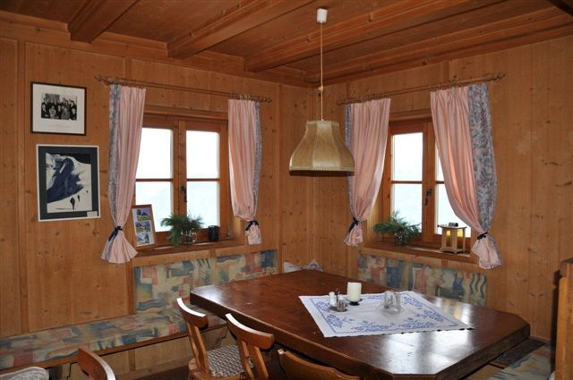
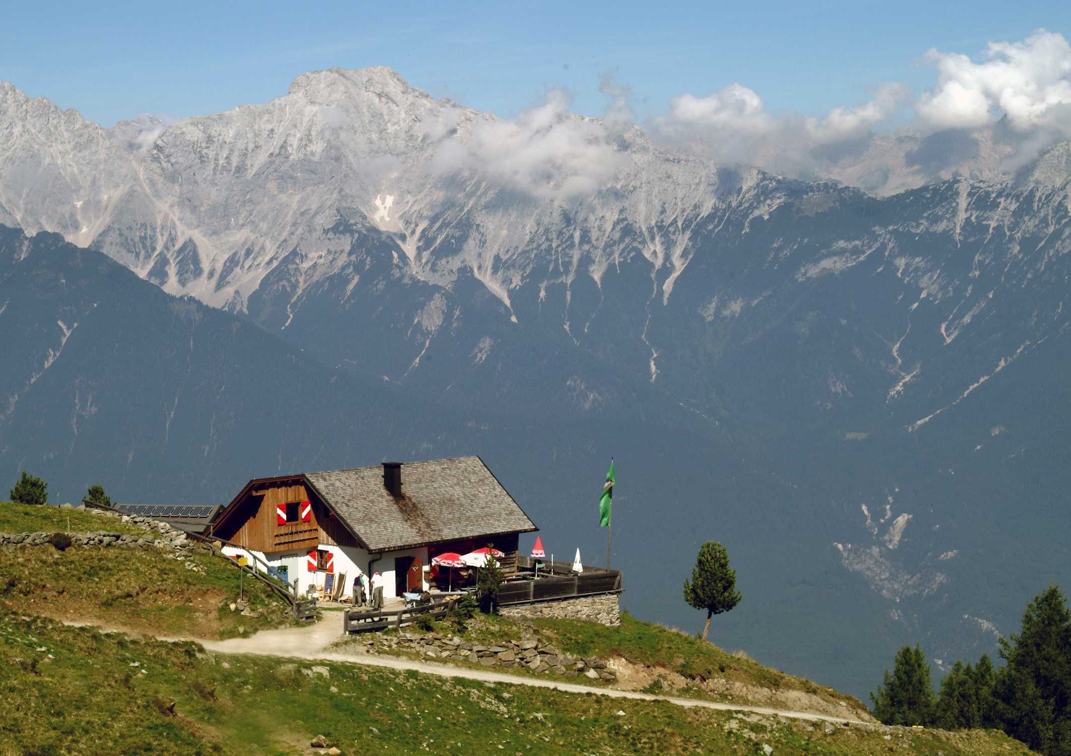
The Peter-Anich-Hütte (1,909 meters above sea level) is an excursion destination and rustic hiker's base in the northern Stubai Alps, south of Telfs.

Information

Altitude

1,909 m

Mountain range

Stubai Alps

Sleeps (number of guests)

  • Dormitory with mattresses:12
  • Winter room:-

Facilities

  • Family friendly
  • Mobile phone reception

Suitable for:

  • mountain hiking
  • Mountain bike

Coordinates

  • Geographic length:11.055257
  • Geographic width:47.266263
  • UTM (east):5236802
  • UTM (east):655471
  • Reference Meridian:
Source: Alpenverein

Description

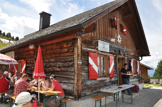
Small summer hut with a famous namesake
ÖAV hut, Innsbruck Tourist Club section

The farmer's son Peter Anich from Oberperfuss hiked and sketched very precise maps of his homeland. The best known is the Atlas Tyrolensis from the 18th century. This is why both a hut and a high-altitude trail in the northern Stubai Alps are named after the geographer. The Peter-Anich-Hütte is a small, serviced base for hikers and is also popular with day visitors from Telfs, Innsbruck and the surrounding area who make the journey up to 1,900 meters to enjoy the view of the Mieminger mountain range, the Karwendel and Wetterstein mountains. The Peter Anich High Trail leads from Oberperfuss to the Anich Hut. Around a dozen guests can spend the night here. The Dortmunder Hütte provides access to the classic Sellrain hut circuit.

Ascents to the hut

From Telfs/Pfaffenhofen in approx. 3 hours, from Rietz in approx. 3 hours, from Stams (via Kreuzjoch) in approx. 7 hours.

Tours in the surrounding area (outward journey only!)

Angersee (2,237 meters), 1.5 hours, moderately difficult
Rietzer Grieskogel (2,884 meters), 3.5 hours, medium difficulty
Hocheder (2,798 meters), 3.5 hours, moderately difficult
Kreuzjoch (2,563 meters), 3.5 hours, moderately difficult

Crossings to other huts, long-distance hiking trails

Dortmunder Hütte, 5 hours
Rosskogelhütte10 hours

The Peter-Anich-Hütte is located on the Inntal loop of the Sellrainer Hüttenrunde.

Getting here

Nearby huts

  • Aspach-Hütte

    Place:Karwendel Mountains
    :1,535 m
    :Suitable formountain hikingRock climbing
  • Neue Alplhütte

    Place:Wetterstein / Mieminger Mountains
    :1,506 m
  • Dortmunder Hütte

    Place:Stubai Alps
    :1,948 m
    :Suitable foralpine skiingmountain hikingHigh-altitude hikescross country skiingMountain bikeSki touring
  • Coburger Hütte

    Place:Wetterstein / Mieminger Mountains
    :1,920 m
    :Suitable formountain hikingRock climbingSki touring
  • Pforzheimerhütte

    Place:Stubai Alps
    :2,308 m
    :Suitable formountain hikingHigh-altitude hikesRock climbingMountain bikeSki touring
  • Potsdamer Hütte

    Place:Stubai Alps
    :2,009 m
    :Suitable formountain hikingHigh-altitude hikesMountain bikeSki touring
  • Meißner Haus

    Place:Tux Alps
    :1,720 m
    :Suitable formountain hikingMountain bikeSki touring
  • Pfeishütte

    Place:Karwendel Mountains
    :1,922 m
    :Suitable formountain hikingRock climbingMountain bikeSki touring
  • Solsteinhaus

    Place:Karwendel Mountains
    :1,805 m
    :Suitable formountain hikingRock climbingMountain bike
  • Westfalenhaus

    Place:Stubai Alps
    :2,273 m
    :Suitable formountain hikingHigh-altitude hikesSki touring
Newsletter

The mountain is calling? So does our newsletter!

In our monthly newsletter we reveal the best holiday tips for Tyrol.