Kontakt
Tabea Kirschner
Piösmes 67
6481 St. Leonhard
0043/5413/20300
info@ruesselsheimerhuette.at
http://www.dav-ruesselsheim.de
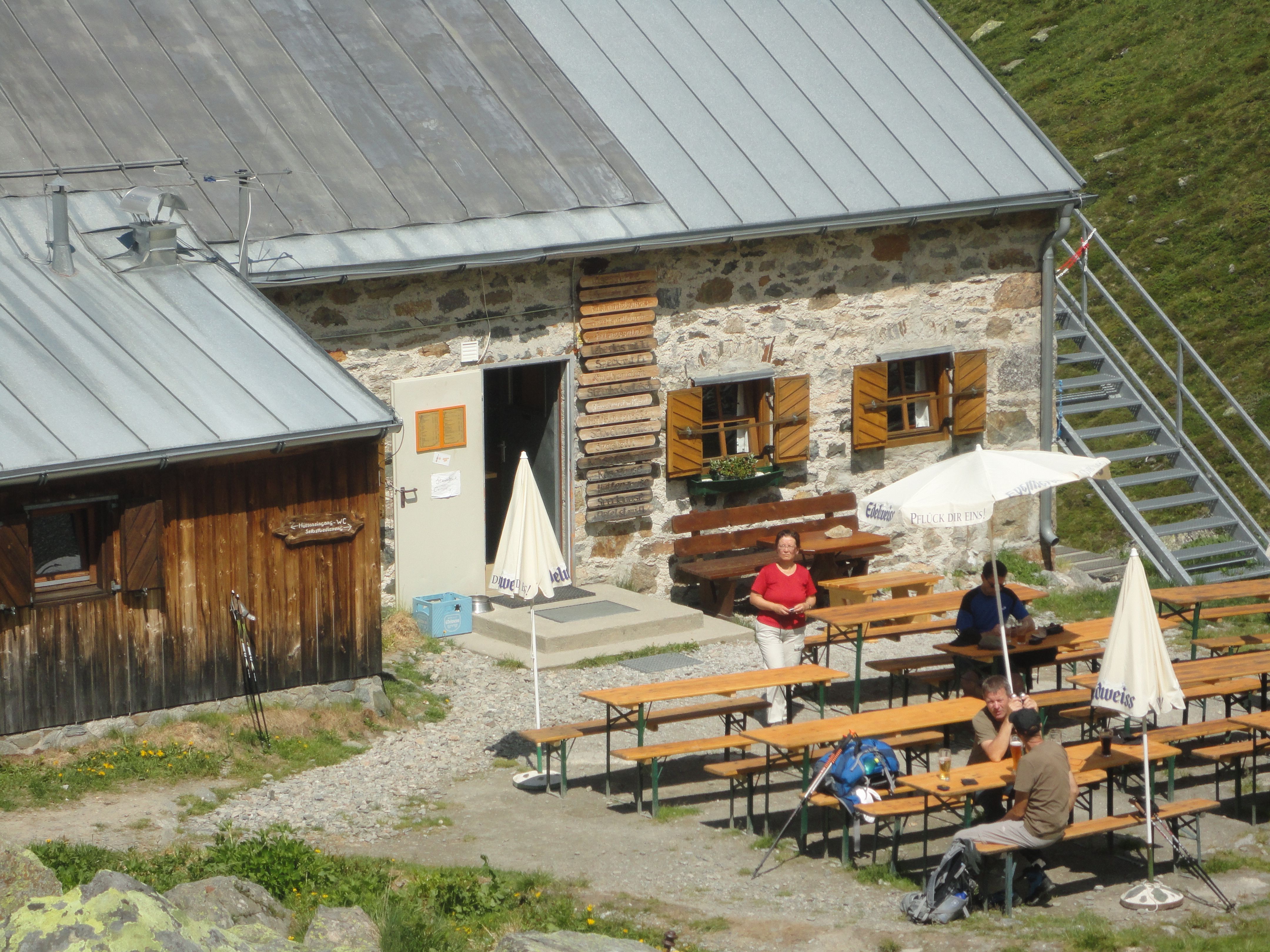
The Rüsselsheimer Hütte (2,323 metres) is a mountain refuge in the heart of the Ötztal Alps and an important base for daytrippers and hikers arriving from both the Pitztal Valley and Ötztal Valley.
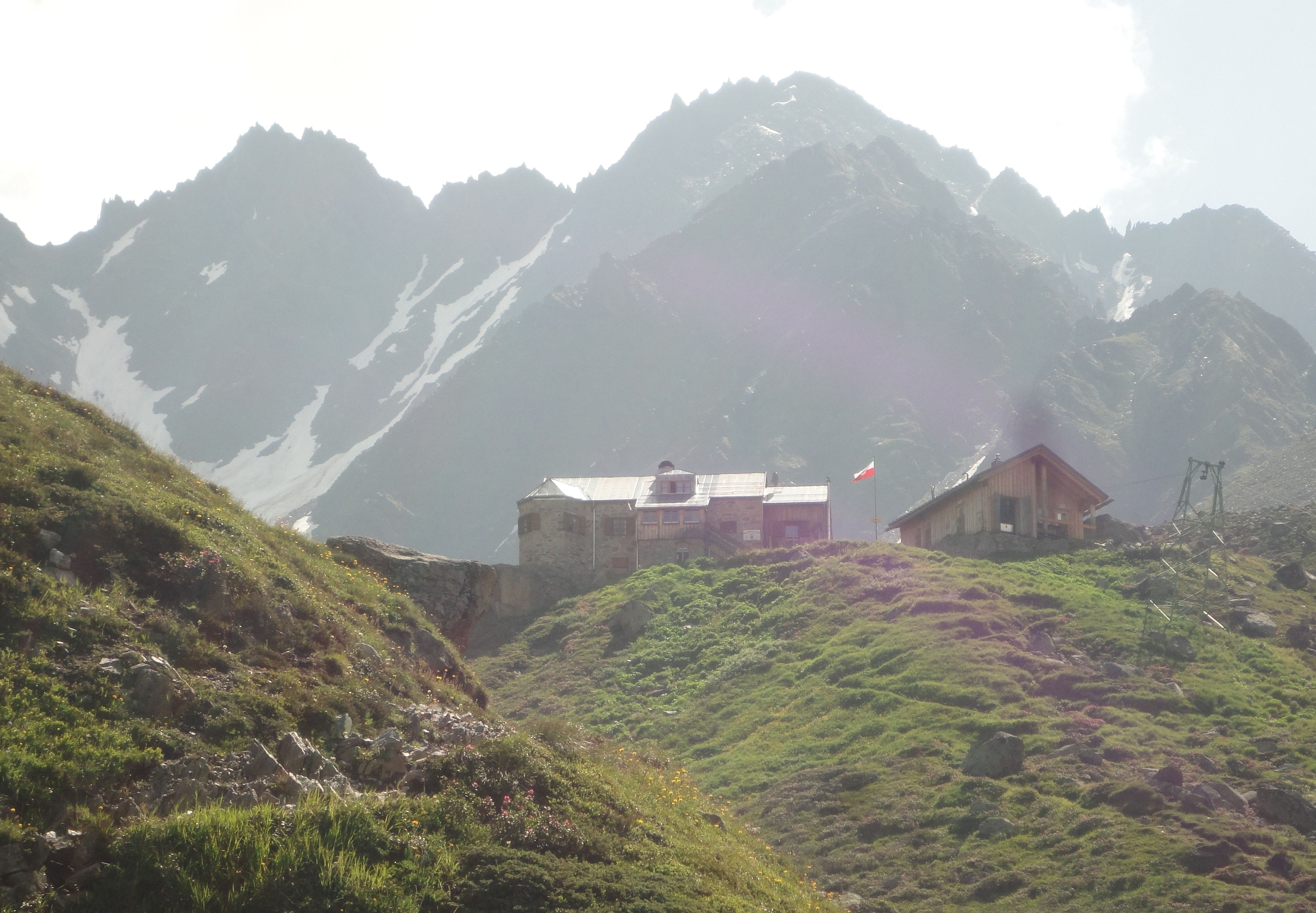
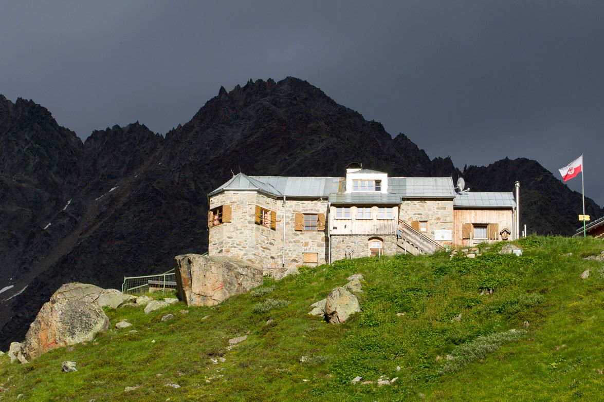

Remote mountain refuge on the Geigenkamm ridge
German Alpine Club, Rüsselsheim Division
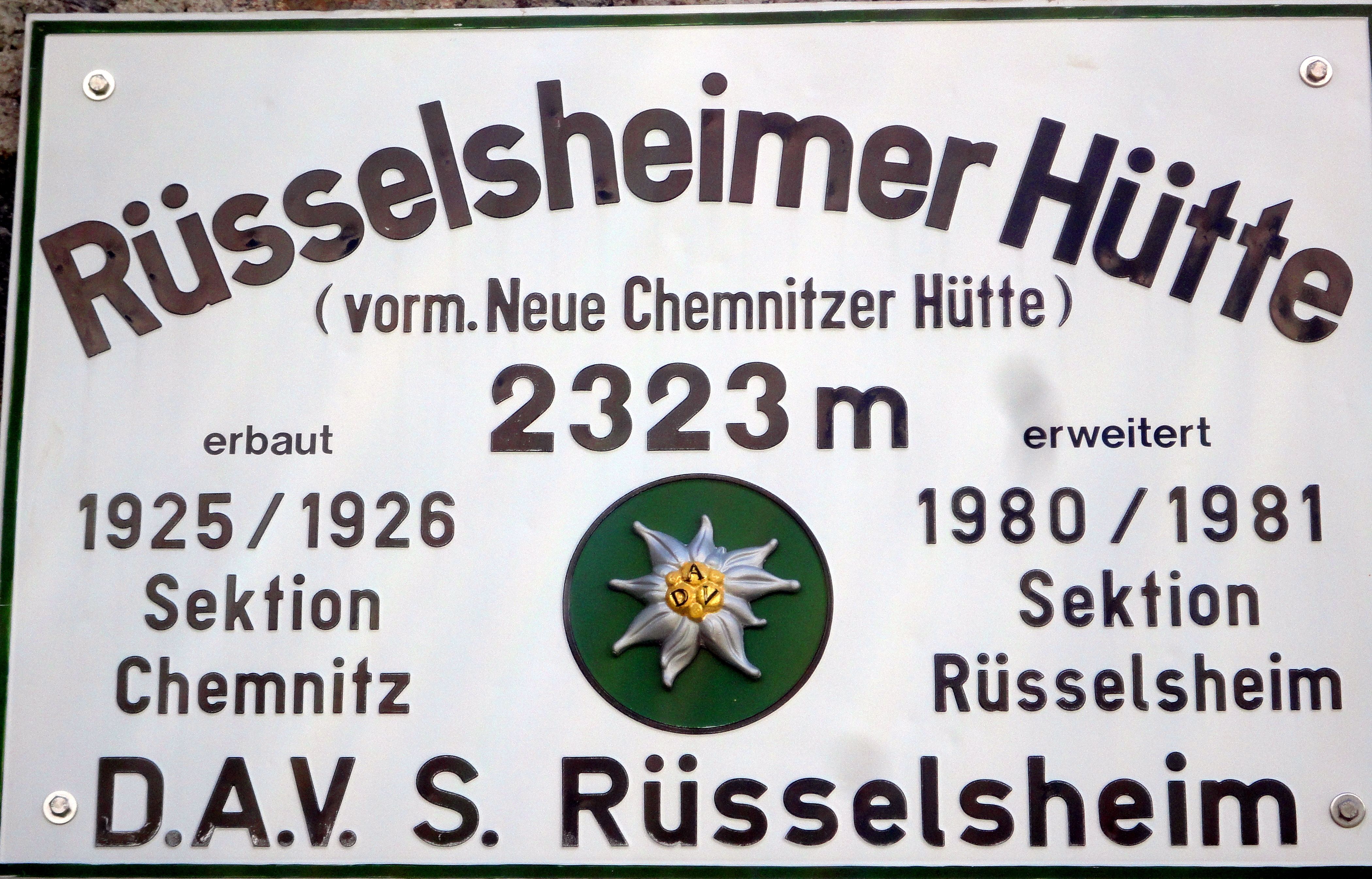
The Rüsselsheimer Hütte is a fortress-like construction of stone and wood on the Geigenkamm ridge high above the Pitztal Valley. It is the main base for hikers wishing to climb the Hohe Geige mountain, a 3,000-metre-high peak near the hut. There are also a number of easier hikes near the hut as well as a rock climbing route. Originally built in 1926 by the Chemnitz Division of the German Alpine Club, it passed into shared control with the Rüsselsheim Division in 1955 and was then completely taken over by the latter in 1973 when the Chemnitz Division was disbanded.
From Plangeroß/Pitztal Valley in 2 hours, from Huben/Ötztal Valley in 7 hours
Hohe Geige (3,395 metres), 3.75 hours, difficult
Puitkogel (3,345 metres), 4.5 hours, difficult
Gahwinden vsntage point (2,649 metres), 1.25 hours, intermediate
Weißmaurachsee lake (2,516 metres), 50 minutes, intermediate
Braunschweiger Hütte, 9,5 hours
Rheinland-Pfalz-Biwak, 5,5 hours
Hauerseehütte, 7 hours
The Rüsselsheimer Hütte is located on the Mainz High Trail and the Ötztal Trek (Stage 18). Via the Braunschweiger Hütte it is possible to access the Weitwanderweg E5.
Tabea Kirschner
Piösmes 67
6481 St. Leonhard
0043/5413/20300
info@ruesselsheimerhuette.at
http://www.dav-ruesselsheim.de


