
Difficulty:medium
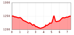
Length:15.0 kmDuration:5:00 hElevation uphill:574 m
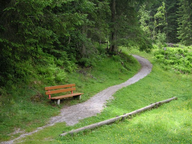
Profile of the route: easy running and Nordic walking route Road surface: gravel, forest and meadow paths

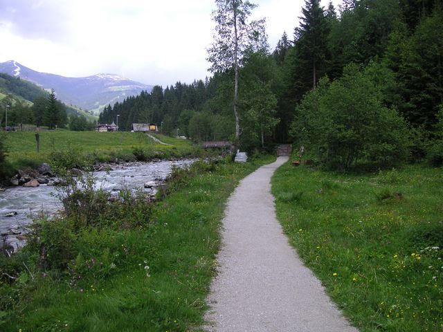
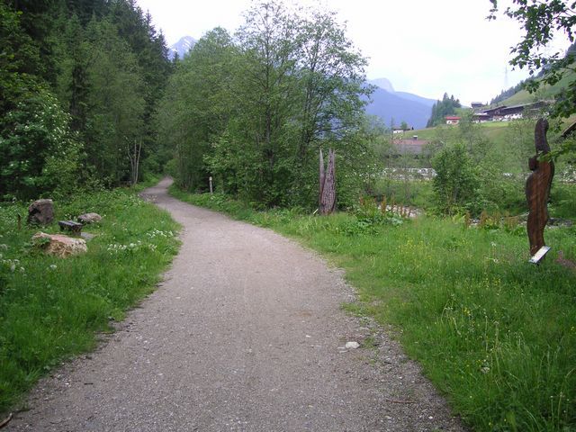
Route: From the playground „Bärlihöhle“ to the west along the „Gerlos“ creek to the bridge before „Gmünd“. Switch to the other side of the creek and further on eastwards to the tennis center. Switch again to the other side of the creek and further on to the „Forstmeile“. Integrate the „Forstmeile“ into the route and then along the creek back to the start.


