
Difficulty:medium
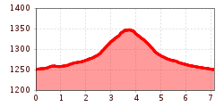
Length:15.0 kmDuration:5:00 hElevation uphill:574 m
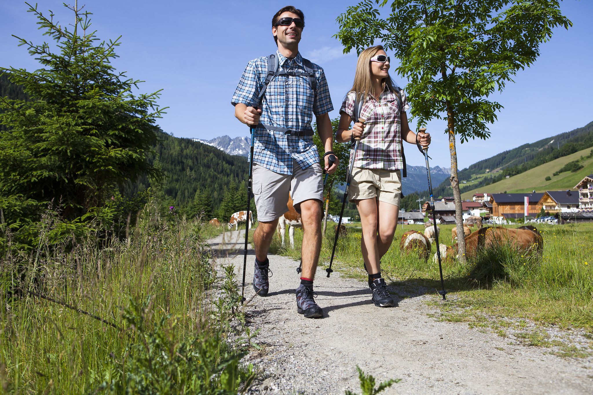
Profile of the route: easy running and Nordic walking route Road surface: gravel, forest and meadow paths
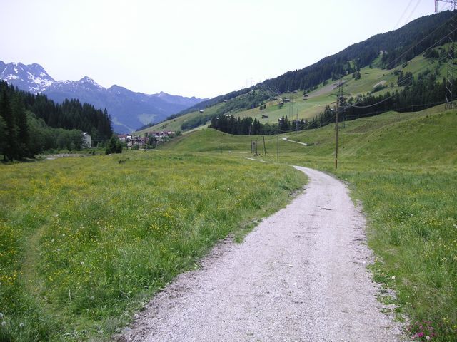
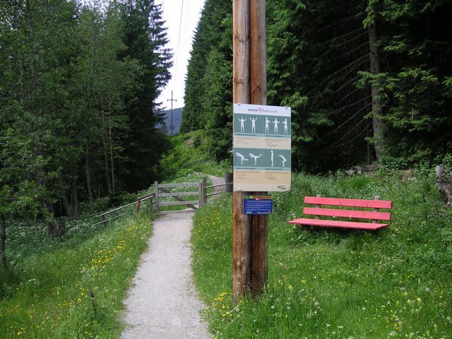
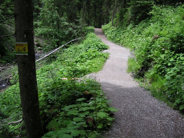
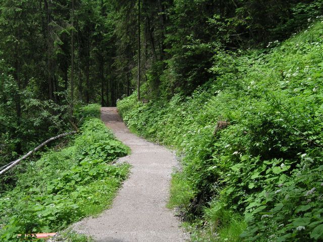
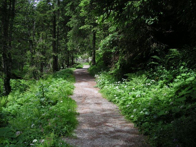
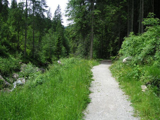
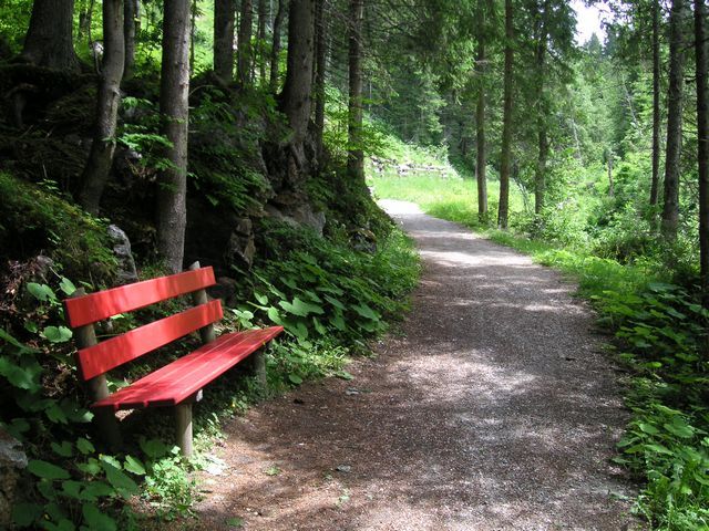
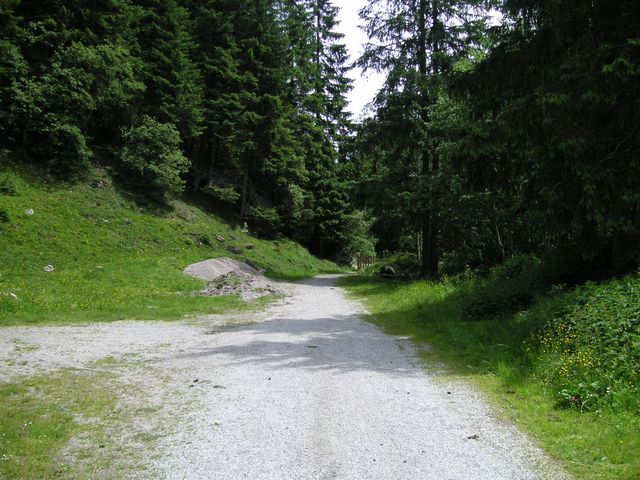
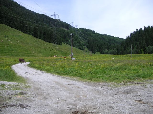
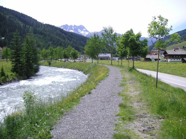
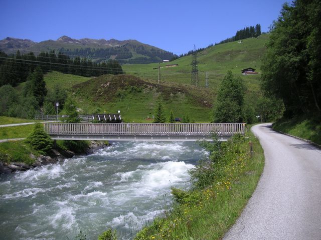
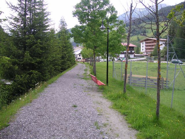
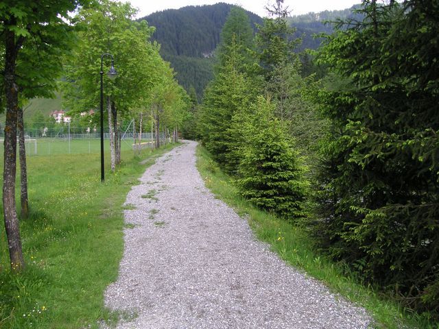
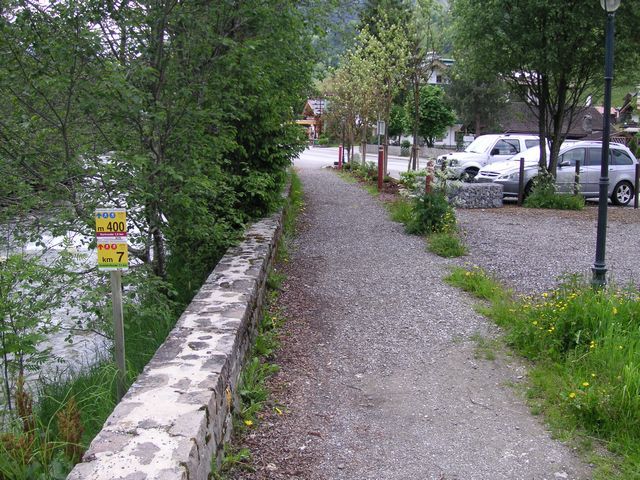
Route: From the playground „Bärlihöhle“ to the east mostly along the „Gerlos“ creek. From the power station along the creek first over meadow paths and then on a forest path, passing a relaxation point until the turn at „Klausboden“. Back mostly a similar route, only from the power station along the creek.


