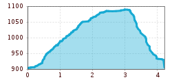
Sellrain-Grinzens-Tanneben-Sellrain

Sellrain / Stubaier Alpen
Difficulty ratings: easy
Route length: 4.2 km

Sellrain-Grinzens-Tanneben-Sellrain

Tour information

  • Requirement: easy
  • Length: 4.2 km
  • Elevation uphill:343 hm
Highest point1,096 m

Starting point

3903>hiking trail(s)

Finishing point

Parkplatz Sellrain Gemeindeamt (gebührenfrei)

Features

  • Circular route
  • Suitable for families

Best time of year

  • January
  • February
  • March
  • April
  • May
  • June
  • July
  • August
  • September
  • October
  • November
  • December

Description

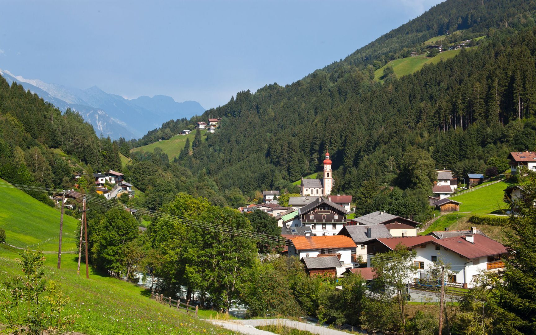
Circular hike - Sellrain - Grinzens - Tanneben- Sellrain
This route starts at the parish church and follows the "Tafelweg" trail to Grinzens-Neder and then the road to Tanneben. From Tanneben, it is possible to continue along the road into the Fotscher Valley or turn right to follow the Poststeig trail to Sellrain.

More tours in the surrounding area

Newsletter

The mountain is calling? So does our newsletter!

In our monthly newsletter we reveal the best holiday tips for Tyrol.