
Opening hours:Open today
Place:Ellmau
:Restaurant
Ellmau hiking info point - Wimm - Riesen - Biedringer Alm - Biedringer Bauernhöfe - Ellmauer Kaiserbad - Ellmau hiking info point
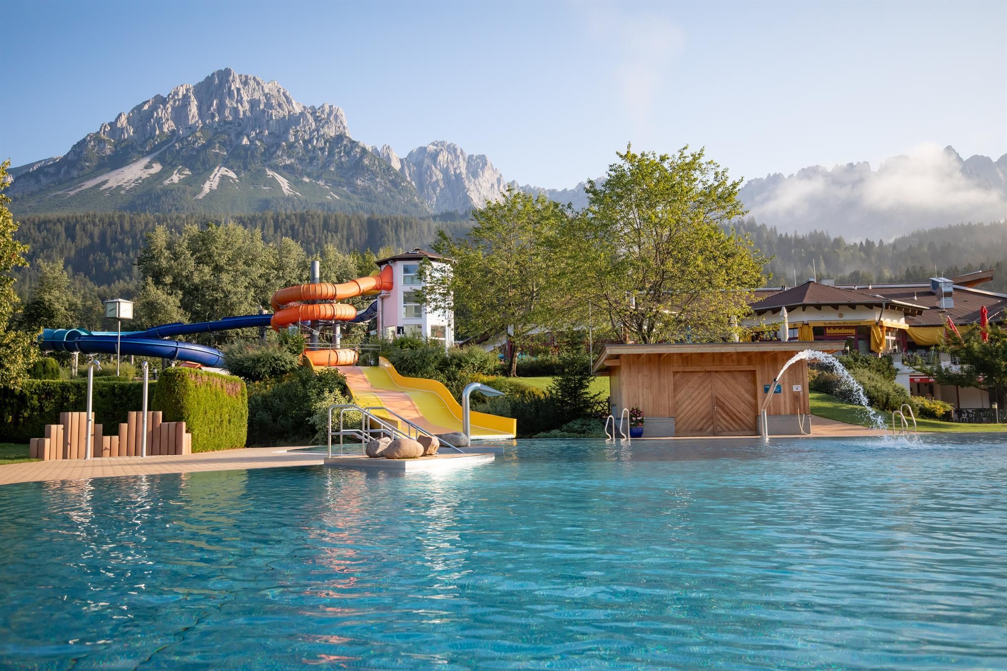

You start at the Ellmau hiking info point and walk/run towards the district of Wimm and begin the ascent heading towards Riesen. After the large building on the Riesen district plateau, you turn left into the forest and walk/run through the shady mixed forest to the Biedringer Alm. After a short rest you descend via the Rotbuchenweg trail down to the Biedringer Bauernhöfe farms and on to the Ellmauer Kaiserbad back to the hiking info point in the village centre.
KaiserJet stop “Ellmau Alte Post” or Postbus stop “Ellmau Dorf Bauhof”.
More information at: www.wilderkaiser.info/mobility
Public car parks in Ellmau centre or west (800 m) - for free


")


