
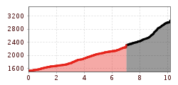
Difficulty:
medium
Length:
7.0 km
Duration:
3:00 h
Elevation uphill:
940 m
St. Sigmund - Zwieselbacher Rosskogel
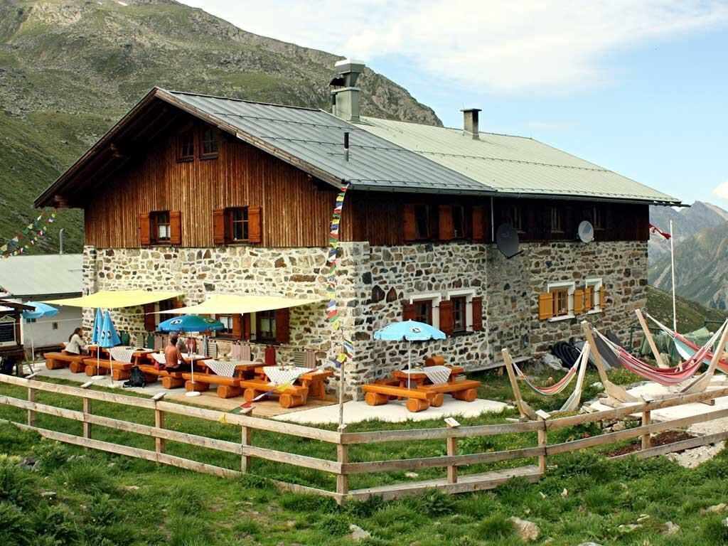
From the Gleirschalm car park, you should ideally bike along the paved road to the Gleirschalm and then continue along the forest road that leads into the valley. When you reach an altitude of about 1,750 metres above sea level, the terrain becomes steep and rough and it is better to continue on foot. After about 2.5 hours, you will reach the Pforzheimer Hütte mountain hut. From there, the route continues south-west into the Walfeskar corrie. When you reach the corrie, the route becomes very steep and climbs several hundred vertical metres up the south-facing slope to the edge of the ridge. From there, you can see the cross on the "Zwieselbacher". The route then takes you downhill for a few metres towards Kraspesferner, in a wide arc around to the south-west side and up to the summit.
Follow the same route back.


.jpg")
.jpg")


_WaLogo.jpg")


.jpg")


