
Difficulty:medium
Length:9.4 kmDuration:5:00 hElevation uphill:886 m
Medium length, very diverse course with a hilly profile along the bird nature trail
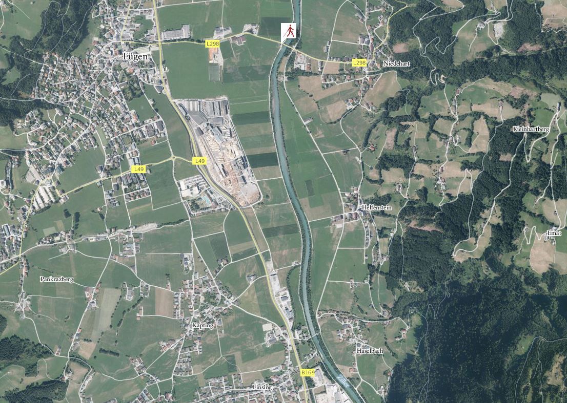
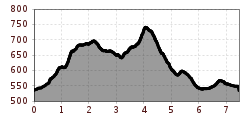
The course runs from the starting point Fuegen / Ziller, over the bridge, toward Hart in the eastern direction and goes on and up along a forest track to the neighbouring town of Oberhart. The course then leads south with constant ups and downs along the slope. From here the course repeatedly switches from gravel road to trail, across several streams and past a number of farmyards, down to Haselbach. The course then goes along the edge of a forest and later across fields and meadows leading back to the starting point.


")


Andi Frank (247).jpg")


")


 Mirja Geh (139).jpg")
.jpg")


