
Difficulty:medium
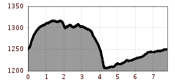
Length:15.0 kmDuration:5:00 hElevation uphill:574 m
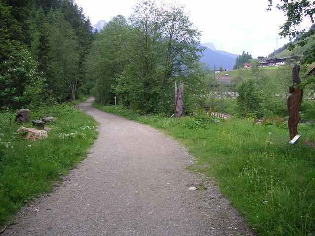
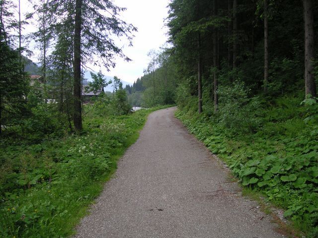
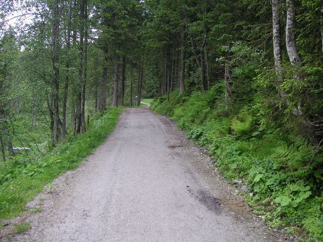
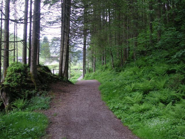
Profile of the route: demanding running and Nordic walking route Road surface: gravel, forest and meadow paths
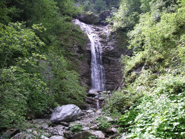
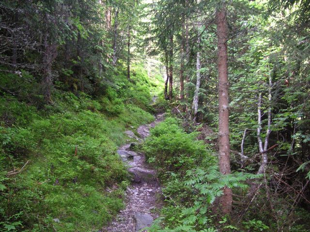
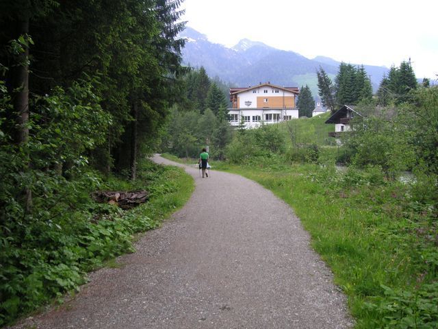
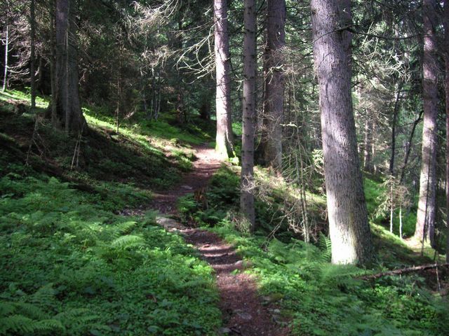
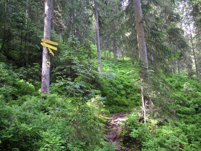
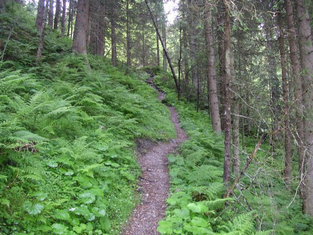
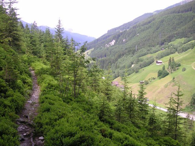
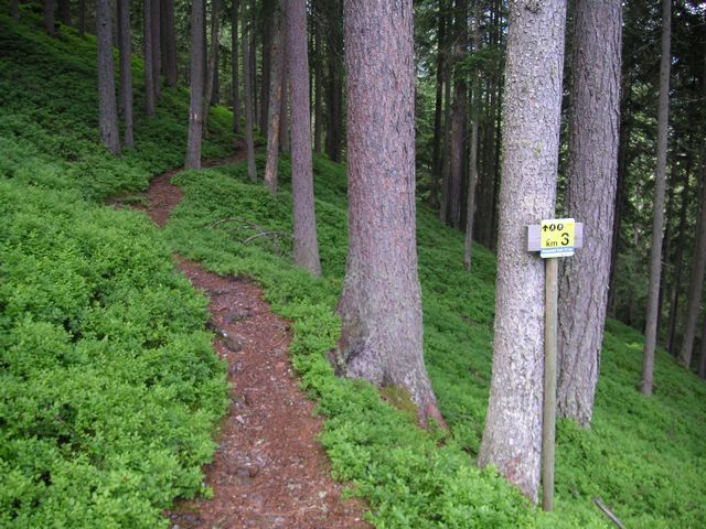
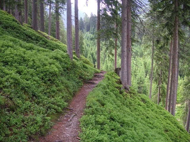
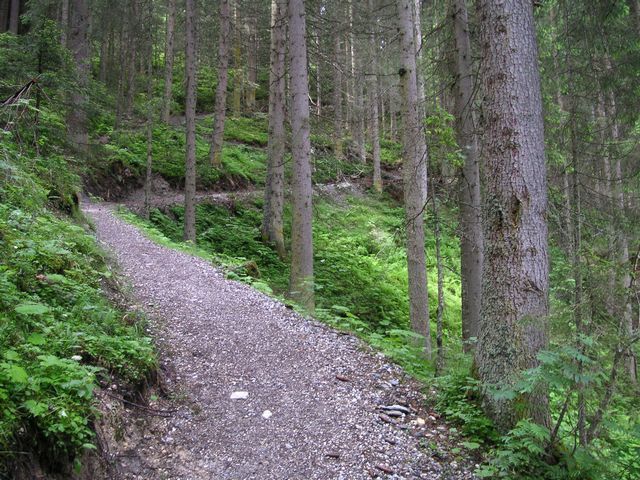
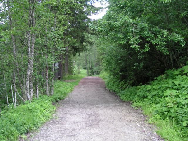

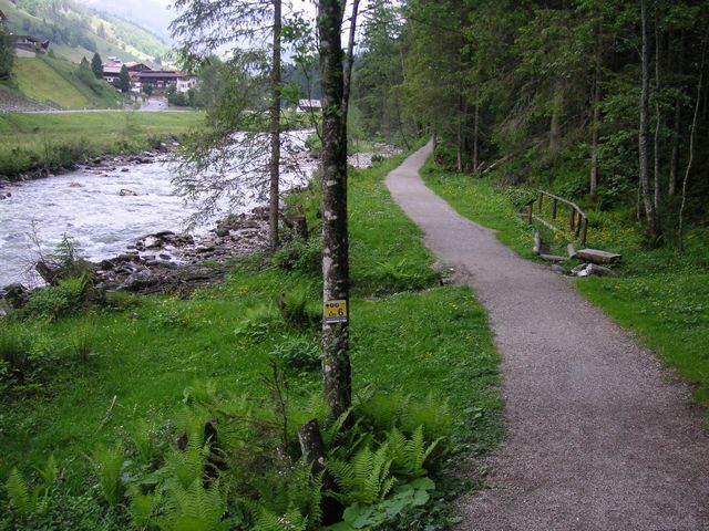
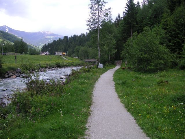
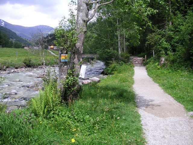
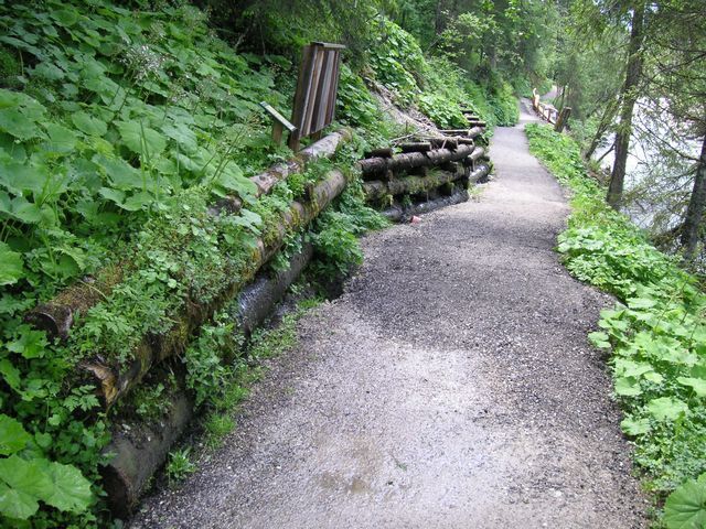
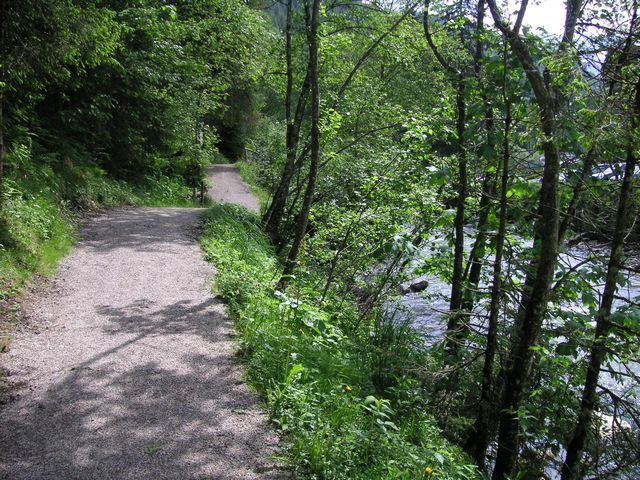
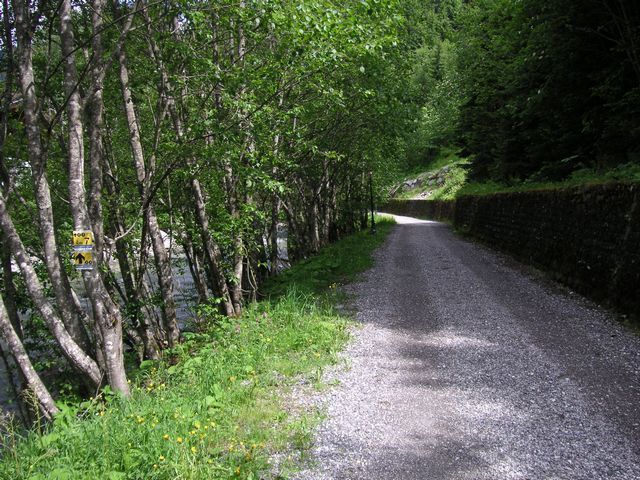
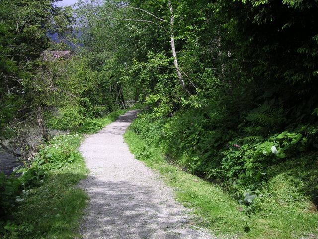
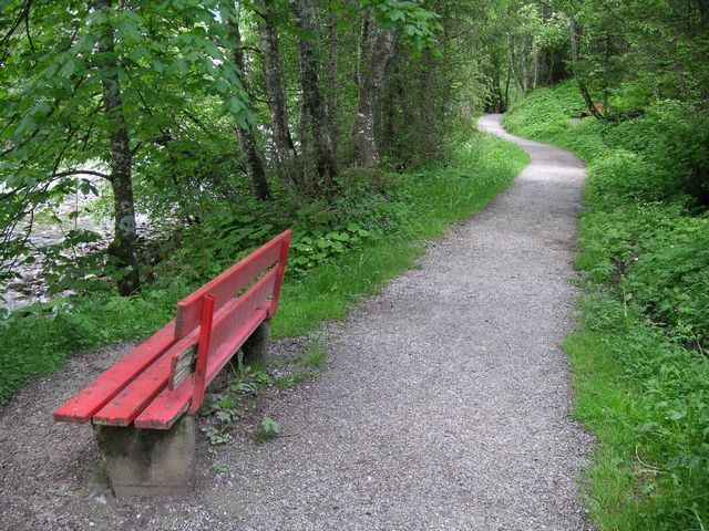
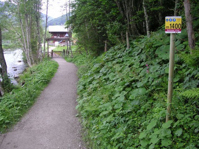
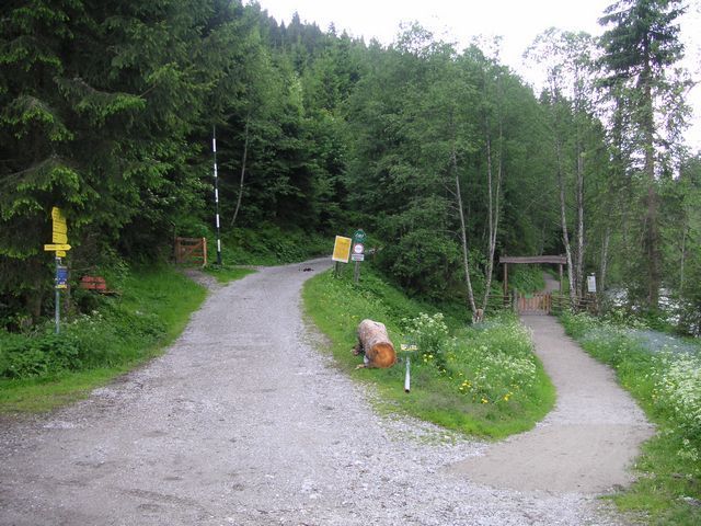
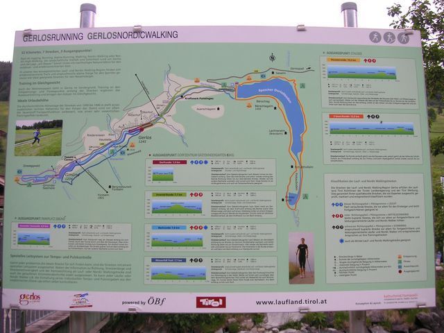
Route: From the playground „Bärlihöhle“ over the „Forstweg“ up to the turnoff into the forest. Further on a very rooty, but varied path, passing the waterfall to the turnoff „Wimmertal“. A short steep way leads down to the
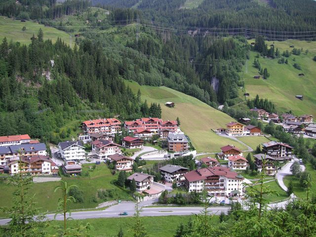
„Gerlos“ creek and along the creek back to the start.


