Andi Frank (247).jpg")
Difficulty:easy
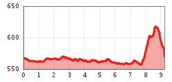
Length:30.5 kmDuration:2:00 hElevation uphill:125 m
Medium length, mostly level trail through magnificent meadows around Aschau

The course begins at the starting point in Aschau and heads south to the Ziller Valley railway bridge on the outskirts of Zell. The meadow trail goes from here along the bank of the Ziller Stream heading back toward Aschau. After crossing the road, the course carries on along the bank of the Ziller. After a while, the course crosses the Ziller Valley main road and reaches beautiful paths through magnificent farm meadows. Then the course heads through a quiet residential area of Aschau and through a short forest trail that leads back to the starting point.


Manfred Pfister.jpg")
.jpg")


