
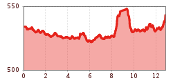
Difficulty:medium
Length:14.4 kmDuration:6:00 hElevation uphill:925 m
Long, level-running course along the Giessenbach Stream and the Ziller Stream
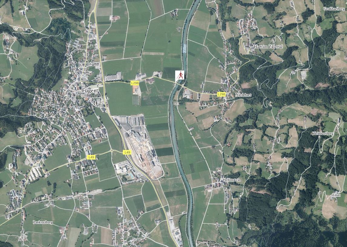
The course runs from the starting point Fuegen / Ziller and heads out of the valley toward the north. The course then goes through a scenic landscape of fields and meadows along the Giessenbach Stream, all the way to Schlitters and the bathing lake that is located there. Then the course takes a turn and one firstly goes along the west bank and later along the east bank of the Ziller Stream via Imming and Hart to return to the starting point in Fügen.
Andi Frank (247).jpg")

.jpg")
Manfred Pfister.jpg")


