
Place:Längenfeld
:Alpine pasture / hut / mountain restaurant
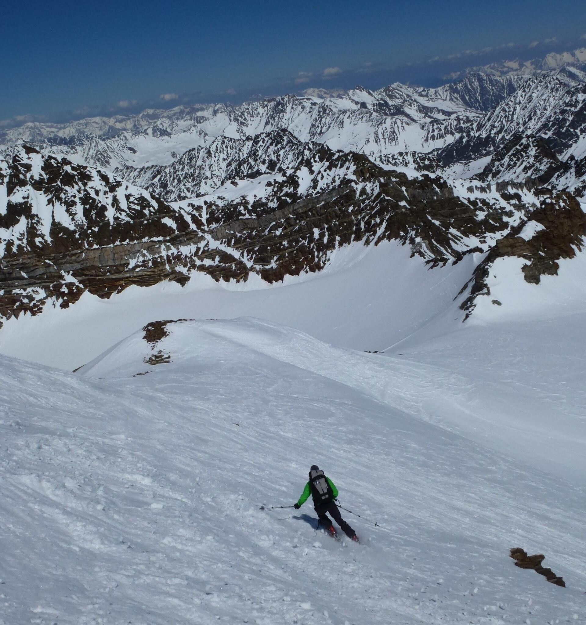
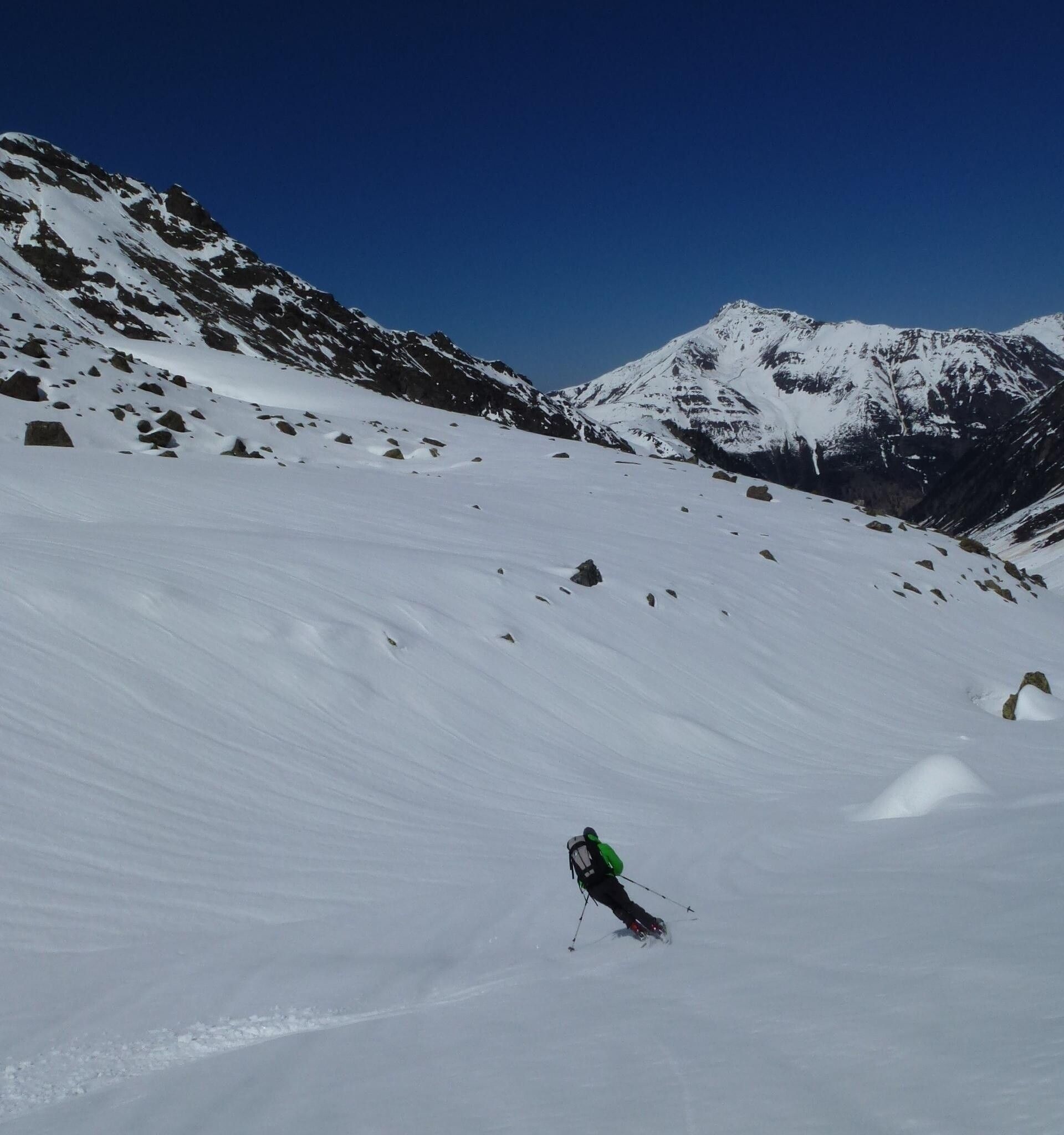
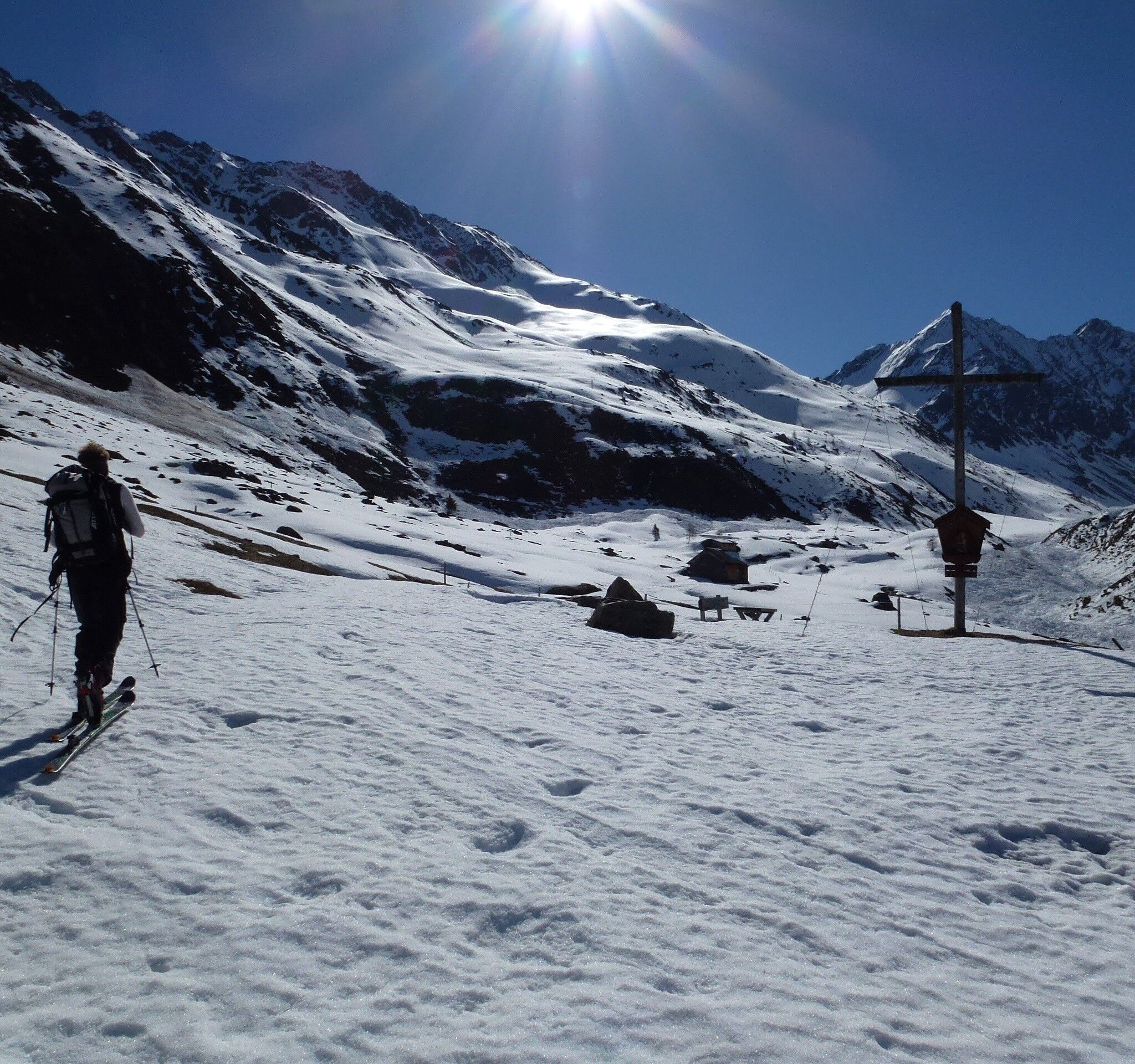
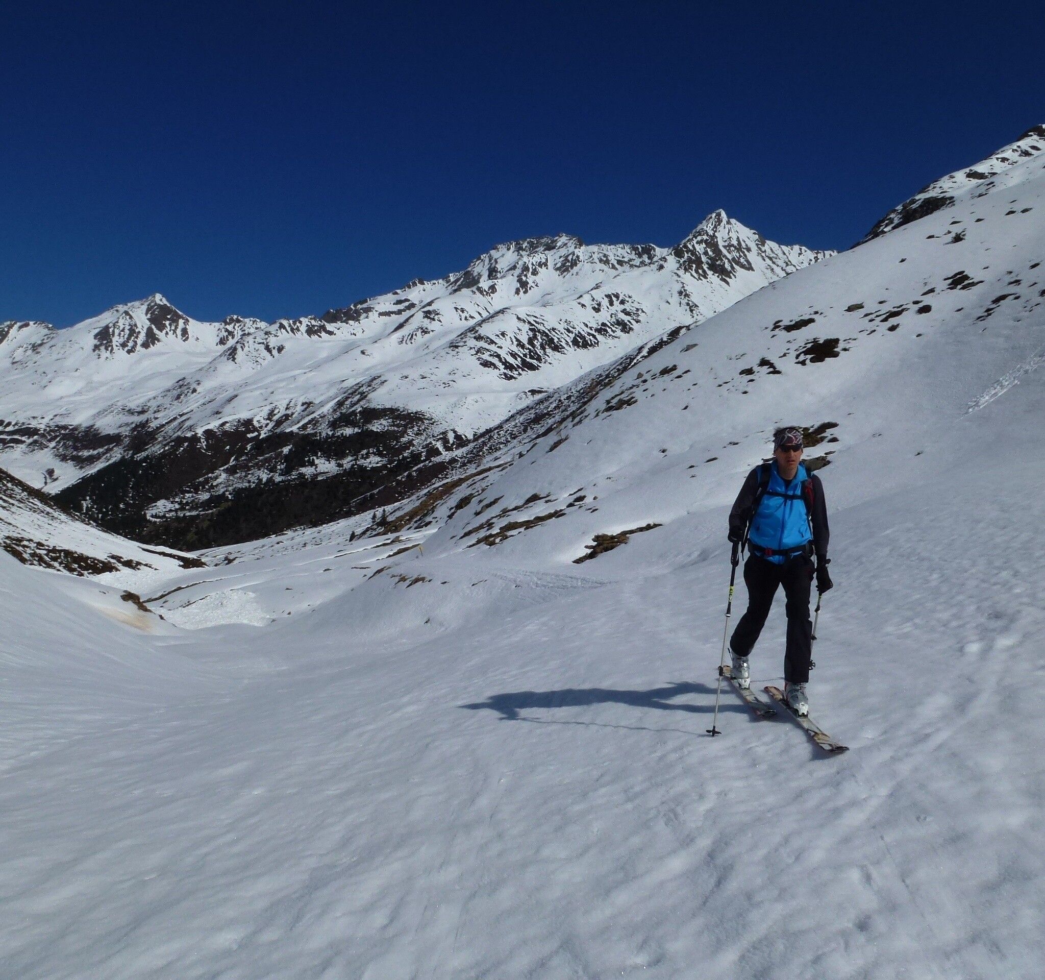
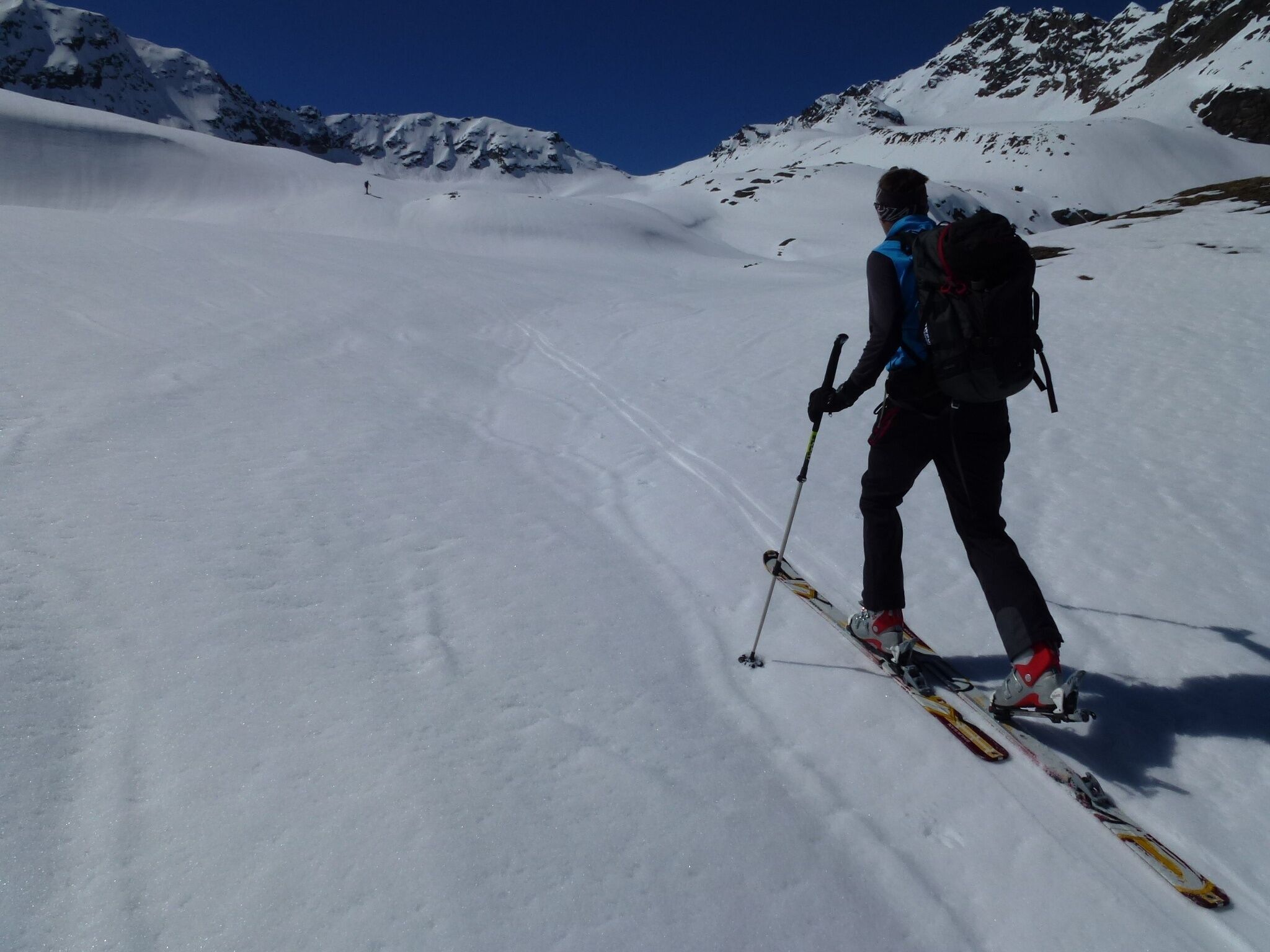
GRIES -> Winnebach -> Winnebachsee hut -> Direction Zwieselbachjoch -> BREITER GRIESKOGEL
Safety notice
Please observe the current snow and avalanche report for the coming days: https://lawinen.report/bulletin/latest
Avalanche hazard scale
1 (LOW)An avalanche release is only possible with great additional load in very few, extreme steep slopes. Spontaneous avalanches (so-called slides) are not expected. Generally safe conditions.
2 (MODERATE)An avalanche release is likely with great additional load especially in the specified steep slopes. Larger avalanches are not expected. The snowpack is generally well consolidated except in some steep slopes. Cautious route choice at the specified steep slopes and slope exposures.
3 (CONSIDERABLE)An avalanche release is already likely with slight additional load especially in the specified steep slopes. Occasionally, some medium, occasionally also large avalanches are possible spontaneously. The snowpack is only moderately to poorly consolidated on many steep slopes. Experience in avalanche assessment is necessary. Avoid the specified steep slopes and slope exposures as much as possible.
4 (HIGH)An avalanche release is possible even with slight additional load mainly in the specified steep slopes. Many medium and sometimes large avalanches occur. The snowpack is poorly consolidated on many steep slopes. Limit route choice to moderately steep terrain and observe avalanche run-out zones. Much experience in avalanche assessment is necessary.
5 (VERY HIGH)Numerous large avalanches, also in moderately steep terrain, are expected spontaneously. At this warning level, safe operation in ski areas is no longer possible. The snowpack is generally poorly consolidated and unstable. Refrain from tours is recommended.
See also at lawine.tirol.gv.at
Recommended ski touring equipment
The "normal ski touring equipment" consists of touring skis with touring bindings, telescopic poles, climbing skins, crampons, digital avalanche transceiver, avalanche shovel, avalanche probe, first aid kit, and a mobile phone. A "complete glacier equipment" consists of harnesses, two prusik loops or ascenders of different lengths, two HMS carabiners, ice axe, crampons, and a rope. A backpack with appropriate contents must be carried, including change of clothes, sun protection, cold protection, food, and enough to drink! For overnight stays in huts, do not forget to bring hygiene articles and a hut sleeping bag!
DIFFICULTY RATING
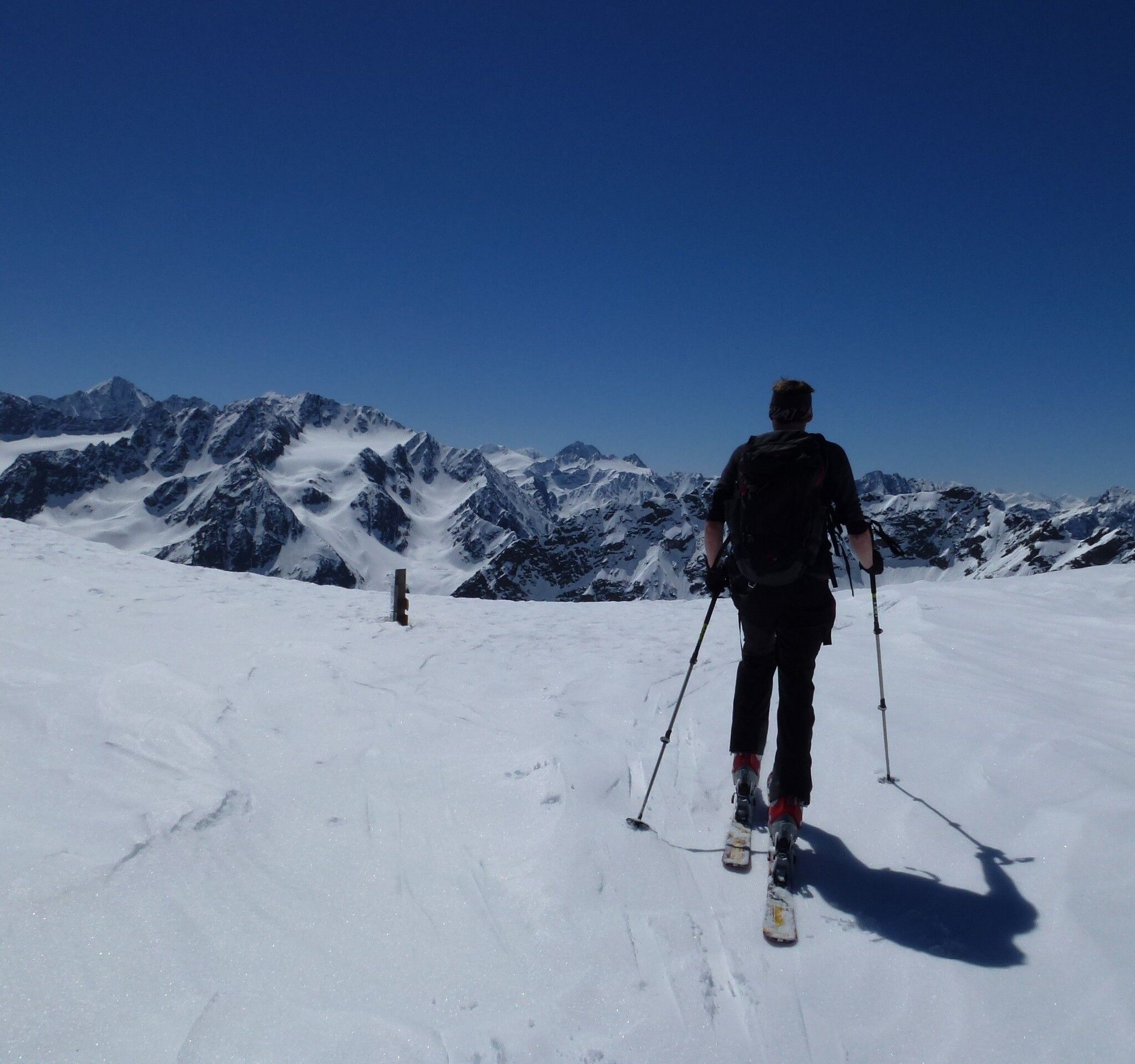
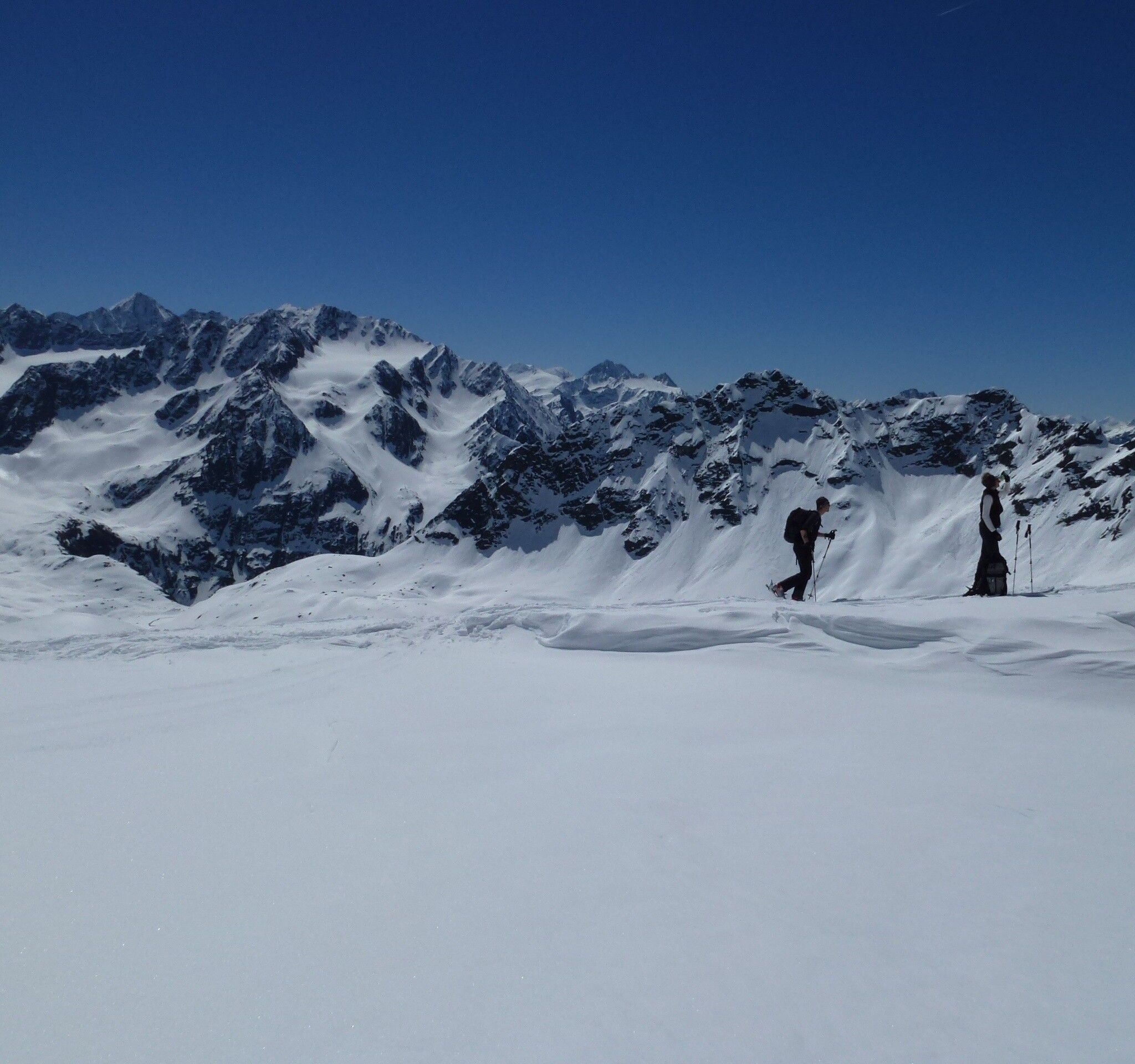
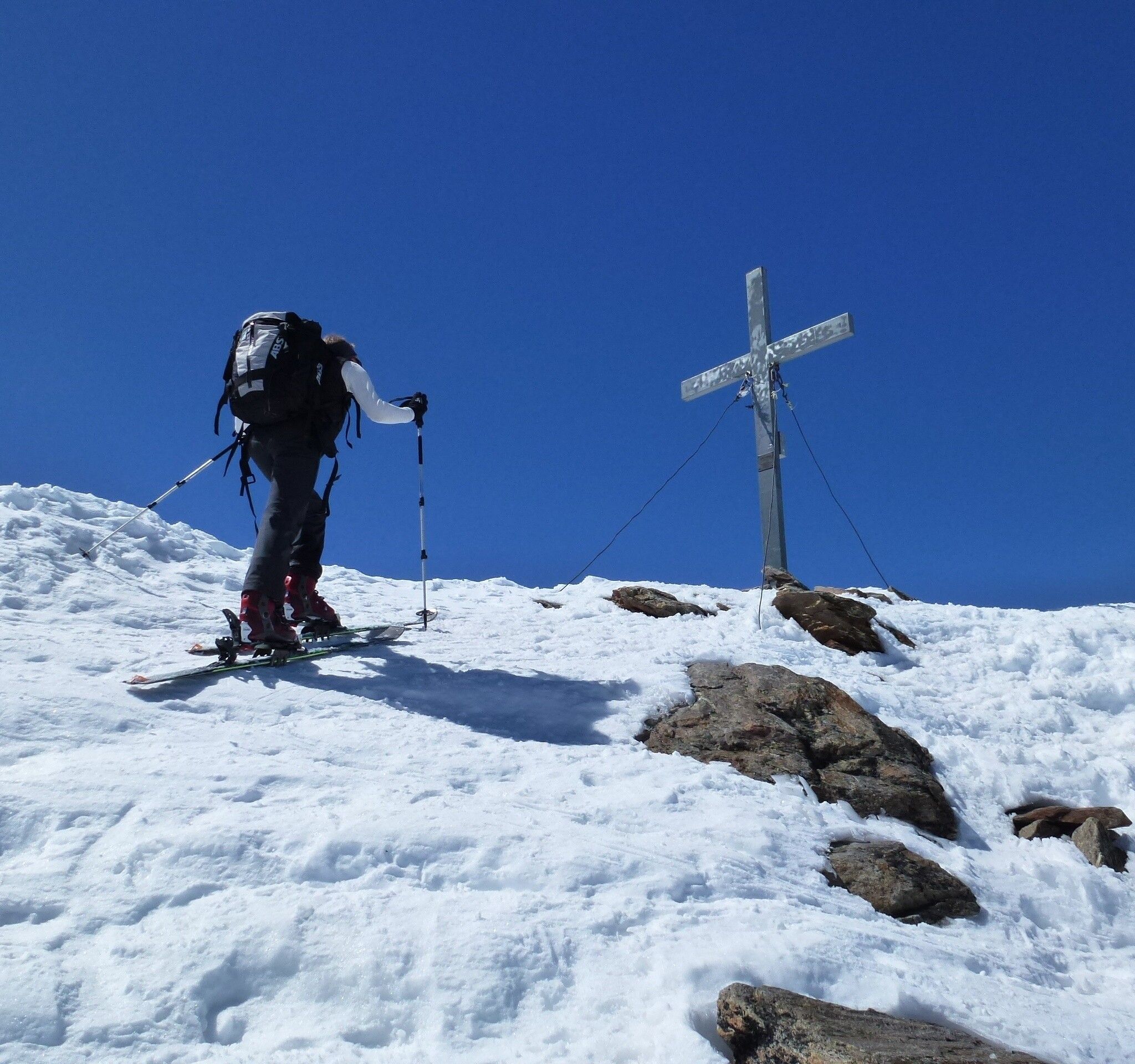
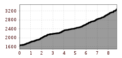
The ascent from the parking lot at the end of Gries goes via the hamlet of Winnebach into the Winnebach valley. Plan about 2 hours walking time. From the Winnebachsee hut, the path continues on the left side of the lake towards the north into the Winnebachkar. After a few minutes, keep left and ascend northwest until you find a passage between the rocks bordering the cirque. In a beautiful hollow, continue towards Zwieselbachjoch. Before the steep ascent to Zwieselbachjoch, however, keep a little to the left, thereby avoiding the steep slopes of Zwieselbachjoch, and reach the Grieskogelferner. Over the initially flat glacier towards the west, bypassing a steep step with glacier breaks on the left, you reach the north ridge and reach the summit easily via this path. The descent takes place via the ascent track or over the Grastalferner towards Niederthai.
Public transport
Travel comfortably and safely by train. The final stop or exit point is the ÖTZTAL station. Afterwards, you can comfortably and quickly continue with public local transport or local taxi companies through the entire valley to your desired destination. The current bus schedule can be found at: fahrplan.vvt.at
The following parking options are available:
