Arrival by public transport
Take the regional bus (lines 8332 or 4080) to Maurach and get off at the bus stop “Maurach (Eben am Achensee) Rofan Seilbahn”. The Rofan cable car car park is located next to the bus stop.
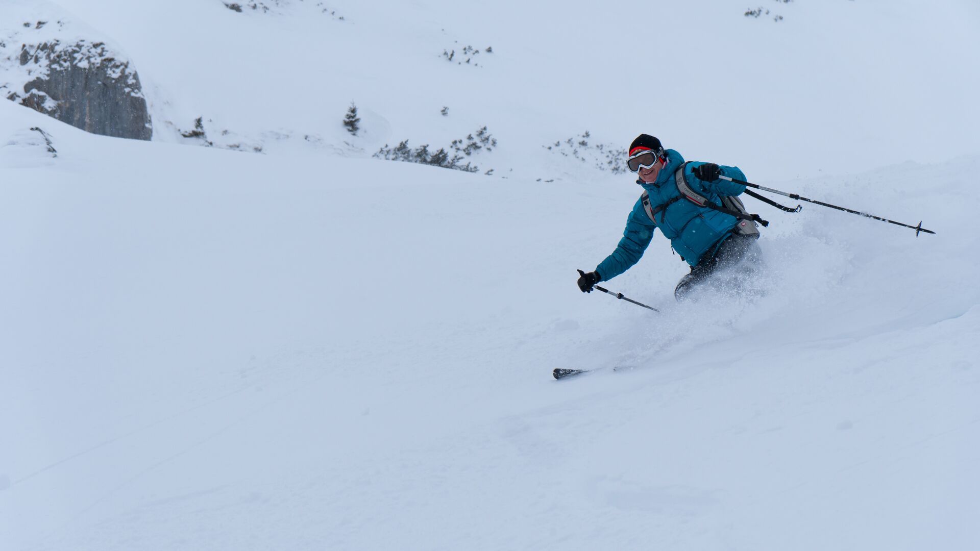
Challenging ski tour descent from the Rofanspitze (2,259m) leading down to the valley to Wiesing. Good, safe snow conditions and appropriate experience are essential. The Wiesing descent is considered one of the finest in the Eastern Alps.
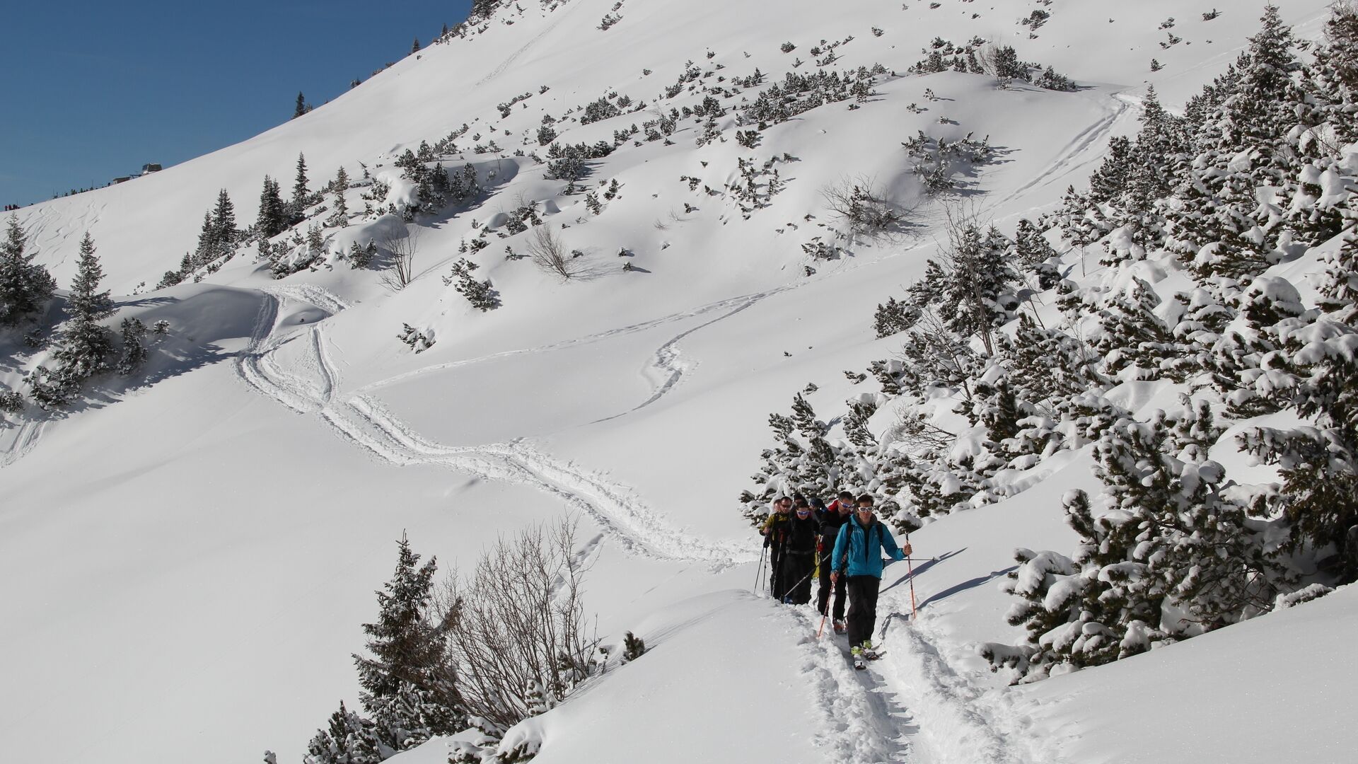
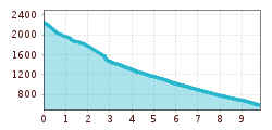
From the summit, descend the 30-degree slope to the extensive hollow between Sagzahn and Gruba Lackenspitze – now in a narrow base – to the Schermsteinalm (not serviced). Head left over a fault scarp into the meadows of the Alpbühelalm (not serviced). Continue along the forest road to Wiesing and through the village until you arrive at the bus stop just below the village, by the road bridge.
Take the regional bus (lines 8332 or 4080) to Maurach and get off at the bus stop “Maurach (Eben am Achensee) Rofan Seilbahn”. The Rofan cable car car park is located next to the bus stop.
