
Opening hours:Today closed
Place:Vent
:Alpine pasture / hut / mountain restaurant
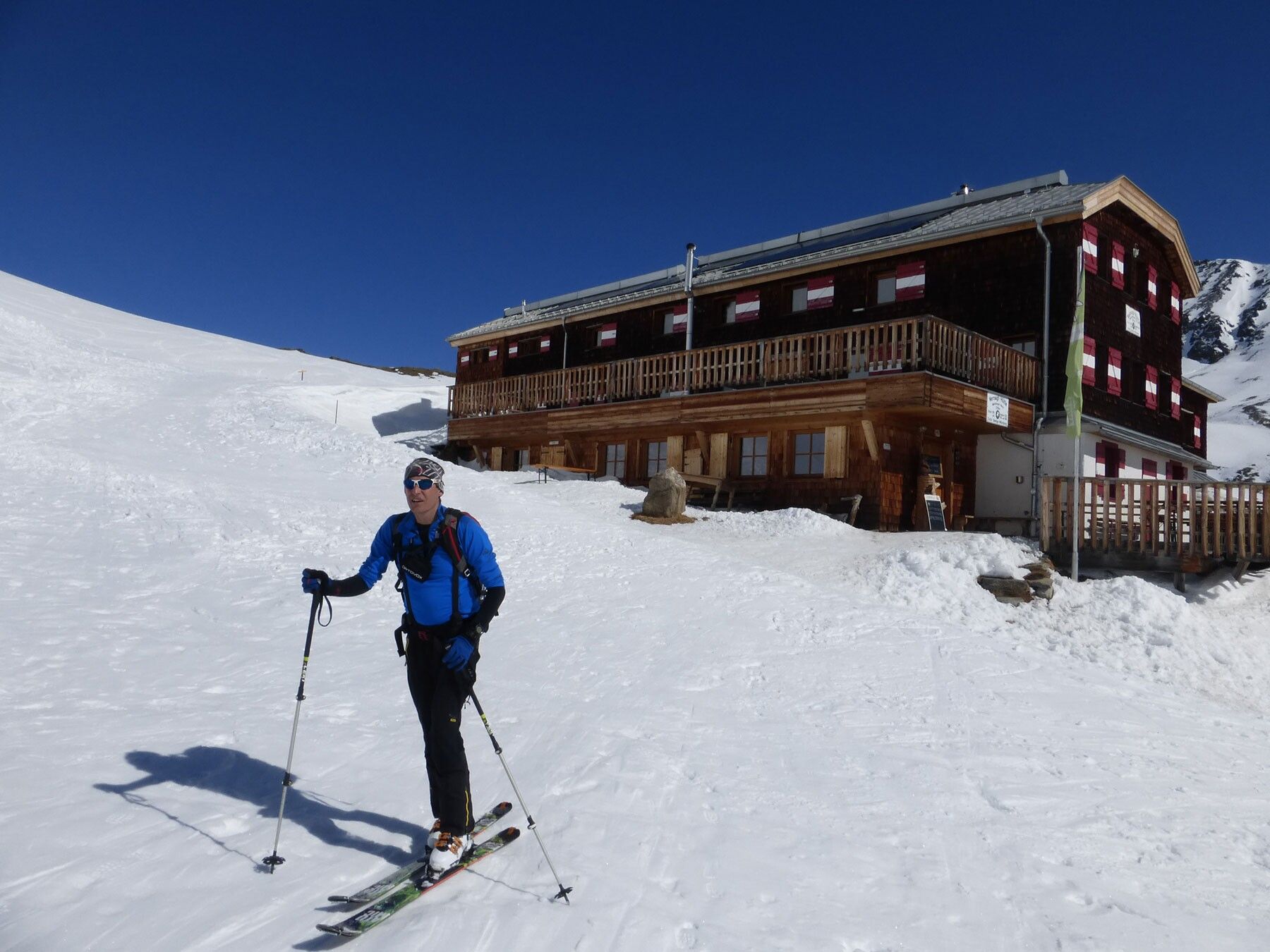
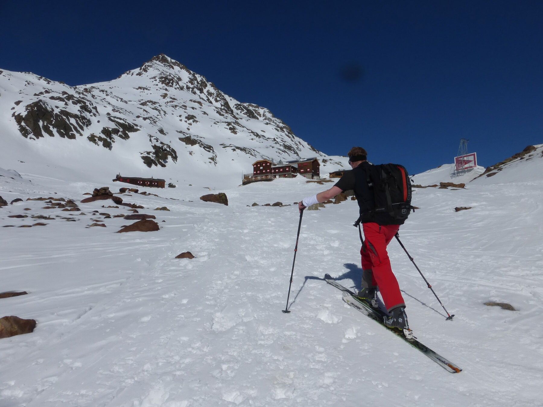
Popular route destination in the area of the Vernagthütte (closed in winter 24/25, no winter room either)

Avalanche hazard scale
1 (LOW) Avalanche release is only possible under heavy additional load on very few, extreme steep slopes. Spontaneous avalanches (so-called slides) are not expected. Generally safe conditions.
2 (MODERATE) Avalanche release is likely under heavy additional load especially on the specified steep slopes. Larger avalanches are not expected. The snow cover is generally well consolidated except for some steep slopes. Careful route selection at the specified steep slopes and exposures.
3 (CONSIDERABLE) Avalanche release is already likely under slight additional load especially on the specified steep slopes. Occasionally some medium-sized, and occasionally large avalanches may occur spontaneously. The snow cover is moderately to weakly consolidated on many steep slopes. Experience in avalanche assessment is necessary. Avoid specified steep slopes and exposures if possible.
4 (HIGH) Avalanche release is already possible under slight additional load especially on the specified steep slopes. Occasionally many medium and also large avalanches occur. On many steep slopes the snow cover is weakly consolidated. Route choice should be restricted to moderately steep terrain and avalanche run-out areas must be observed. Extensive experience in avalanche assessment is necessary.
5 (VERY HIGH) Numerous large avalanches, even in moderately steep terrain, are expected spontaneously. At this warning level, safe operation is no longer possible in ski areas. The snow cover is generally weakly consolidated and unstable. Avoid routes altogether.
See also at lawine.tirol.gv.at
Recommended ski touring equipment
The "normal ski touring equipment" consists of touring skis with touring bindings, telescopic poles, climbing skins, crampons, digital avalanche transceiver, avalanche shovel, avalanche probe, first aid kit, and a mobile phone. A "complete glacier equipment" includes harnesses, two differently sized Prusik loops or ascenders, two HMS carabiners, ice axe, crampons, and a rope. A backpack with appropriate contents should be carried, including spare clothing, sun protection, cold protection, provisions, and enough to drink! For hut overnight stays, do not forget hygiene articles and a hut sleeping bag!
DIFFICULTY RATING
Easy: Easy, short to moderately long routes with ascents that do not exceed 25° or only briefly.
Medium: Medium difficulty, moderately long to long routes with ascents that do not exceed 35° or only briefly.
Difficult: Difficult, long to very long routes with ascents that reach 40° or more, and climbing sections up to UIAA grade II difficulty.
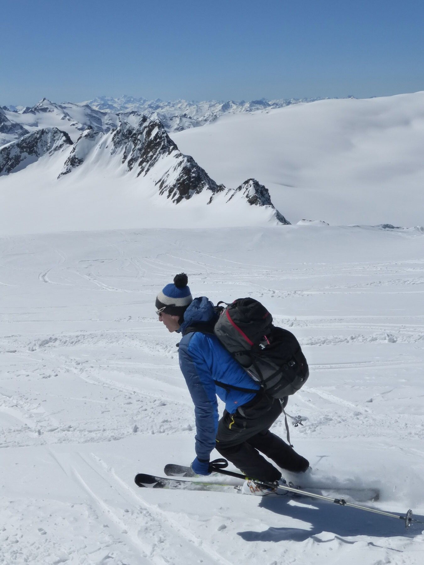
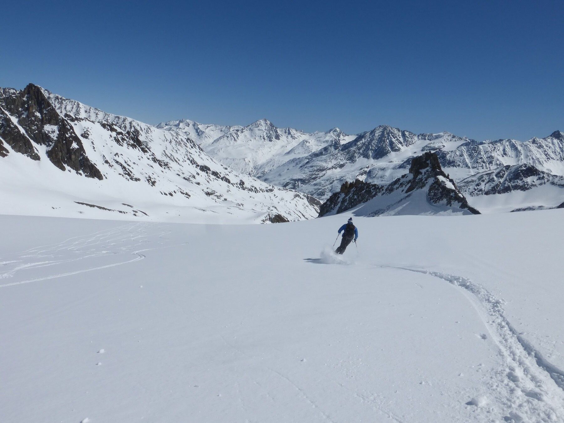
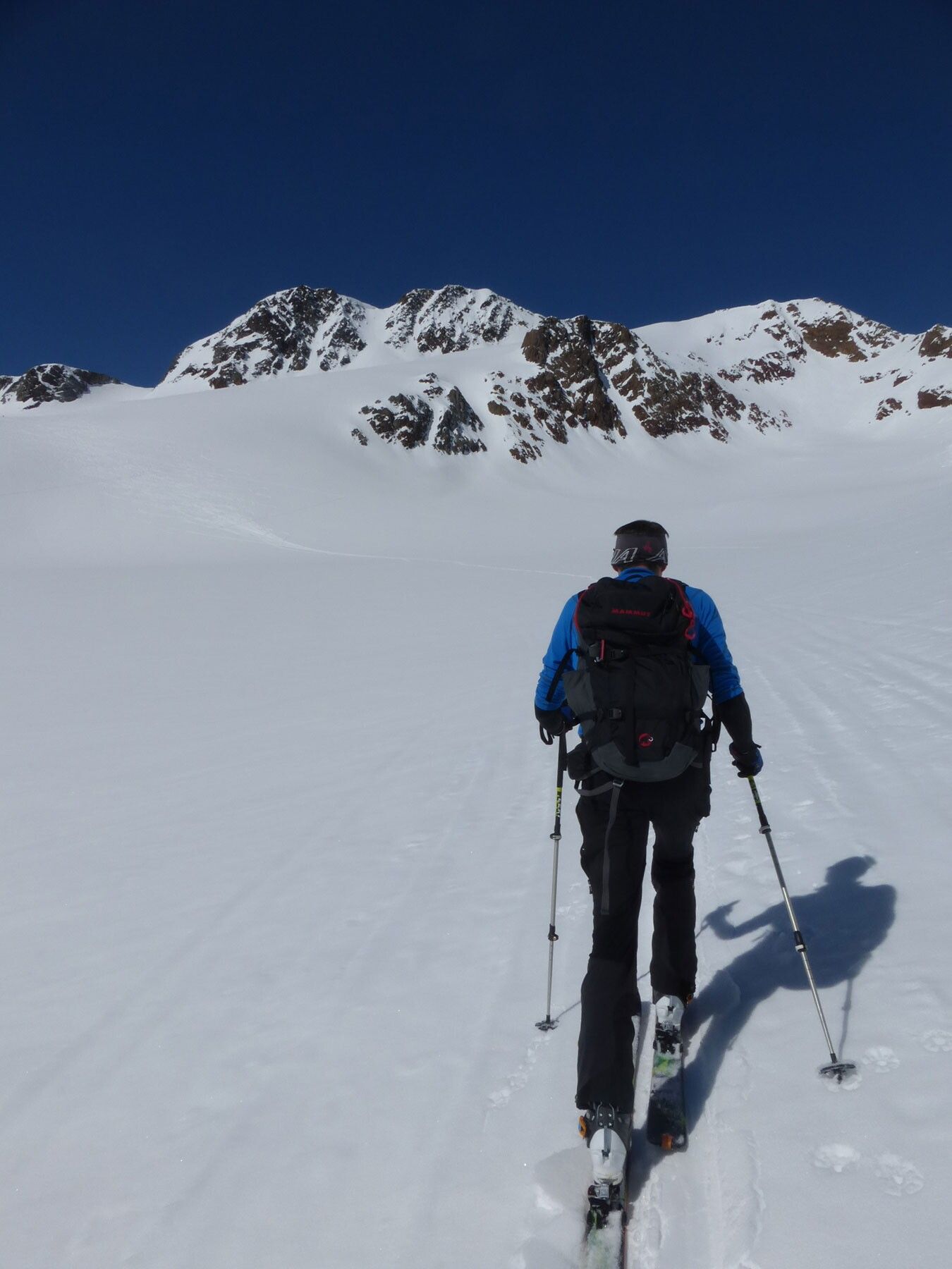
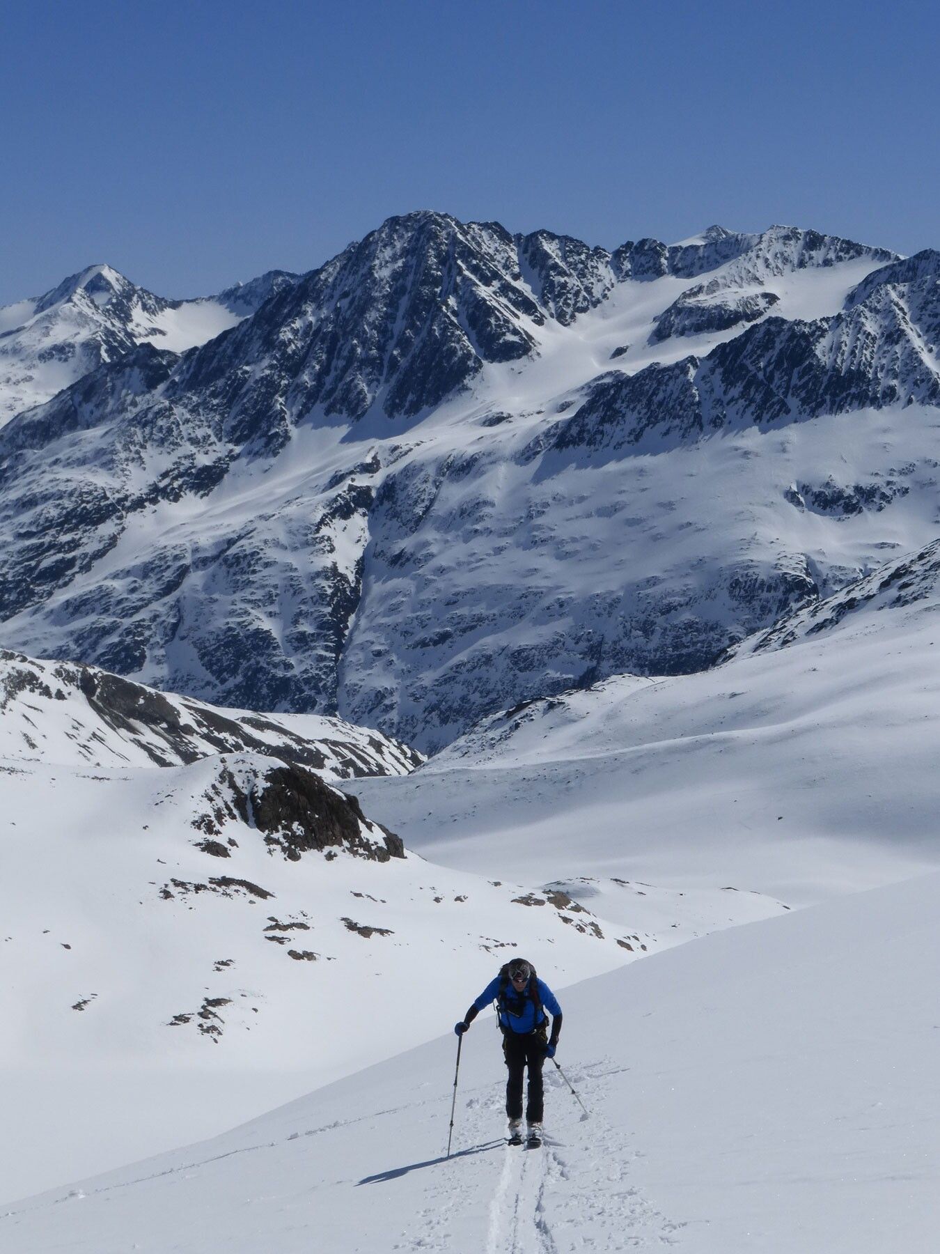
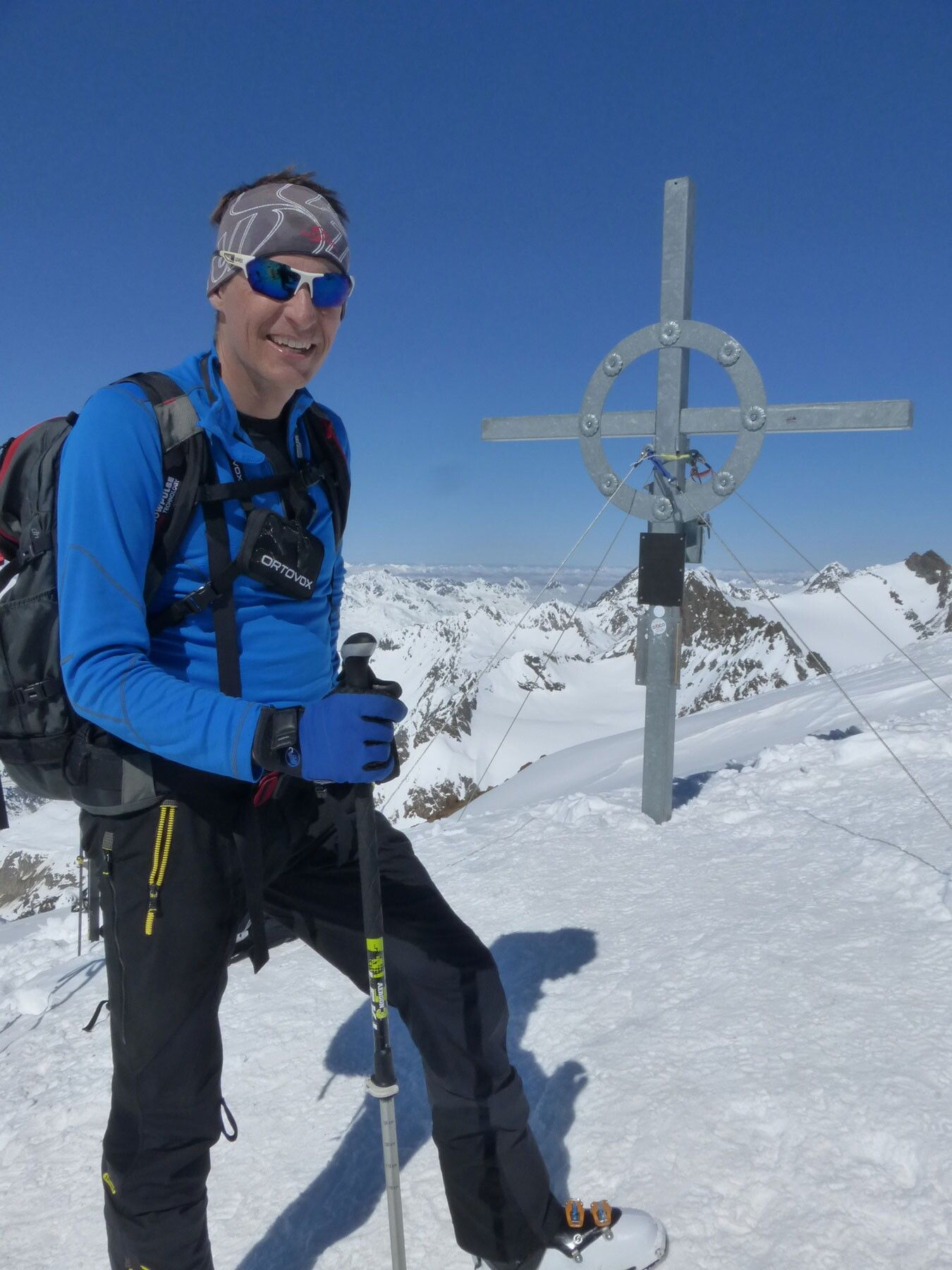
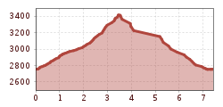
From the Vernagthütte - closed in winter 24/25, no winter room either - on a path over the moraine to the Guslarferner, which you enter shortly before the rain gauge. Over the crevassed Guslarferner up to the Upper Guslarjoch (3,361 m). From here steeply over the firn slope (sometimes iced). Finally flattening out again to the summit.
Travel comfortably and safely by train to the Ötztal train station. The terminal or exit point is the ÖTZTAL station. Afterwards, travel conveniently and quickly by public transport or local taxi companies through the entire valley to your desired destination! The current bus timetable is available at: fahrplan.vvt.at
In the mountaineering village Vent, the following parking options are available.
- In summer outside the village (parking meter, coins or EC card only) and at the valley station of the chairlift (at the mountain railway ticket office)
- In winter only at the valley station of the chairlift.
Cost: € 5.00 per day/car
