Parking
Parkplatz bei den "Obwurzen" Höfe
Easy ski tour summit at the beginning of the Winkeltal valley
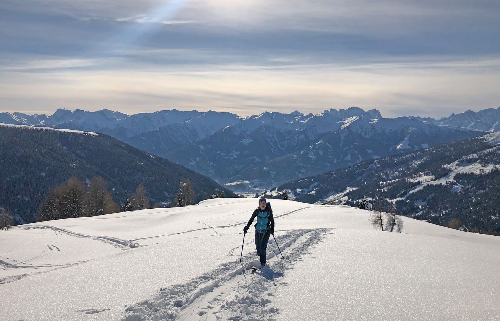
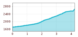
From the Oberwurzen parking lot (1,710 m), take the forest road to the Mitterwurzalm (1,888 m). From there across the mountain meadows and through sparse forest in a westerly direction to a cross (approx. 2,100 m) at the start of the broad mountain ridge. Cross this in a northerly direction, keeping left past the avalanche barrier, until the terrain becomes steeper. Where the ridge becomes steep and interspersed with rocks, turn west into flatter terrain until you reach the plateau. Across the flat plateau with subsequent steep slope to the summit.
Descent: As for the ascent.
Characteristics:
The Gabesitten is an easy tour and also suitable for beginners. At the height of winter, the forest area retains beautiful powder snow for a long time. A beautiful view of the Carnic ridge and the Dolomites awaits tourers at the summit. Difficult orientation above the tree line in poor visibility.
Parkplatz bei den "Obwurzen" Höfe
