Parking
Parkplatz Unterstaller Alm oder Parkplatz Lüfterhöfe
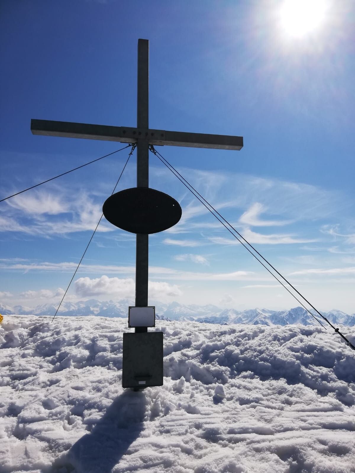
Gr. Degenhorn
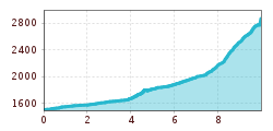
From Unterstolleralm on the Alpine road to the biggest Alpine village in the valley, Oberstoller-alm. Pass this and on the left side of the river proceed in part via the Alpine trail to the flat terrain called ‘Beim Garten’ 2133 m, which is already above the forest boundary area. Just before this bear left, ascending the slope to the north east, continue heading up and you reach a little col via a trough. Via this trough you come to a steep flank, which then crosses a gully and takes you to the steep summit flank. There is now another col and it is a few minutes to the summit.
Characteristics:
The Große Degenhorn is one of the highest elevations in the Villgraten mountains and so the view is appropriately superb. The wonderful descent in the firn snow must first be earned by a long ascent through the Arntal. Thanks to its altitude location, the route may be tackled right through to May.
Descent: As the ascent. From 2133 m ‘Beim Garten’ keep to the north flanks; even in very late spring you can still get to the Oberstolleralm.
Parkplatz Unterstaller Alm oder Parkplatz Lüfterhöfe
