
Opening hours:Open today
Place:Vent
:Alpine pasture / hut / mountain restaurant
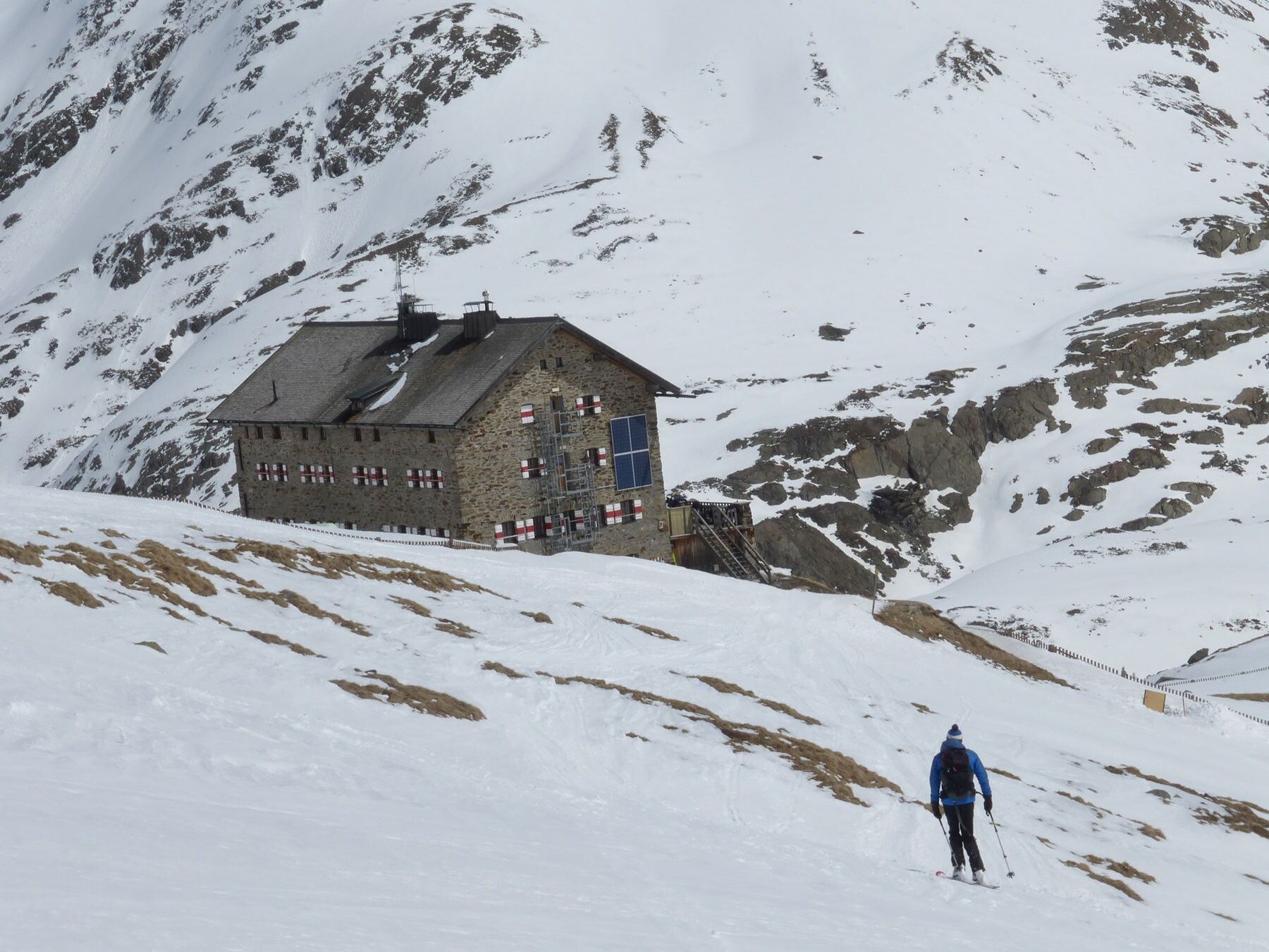
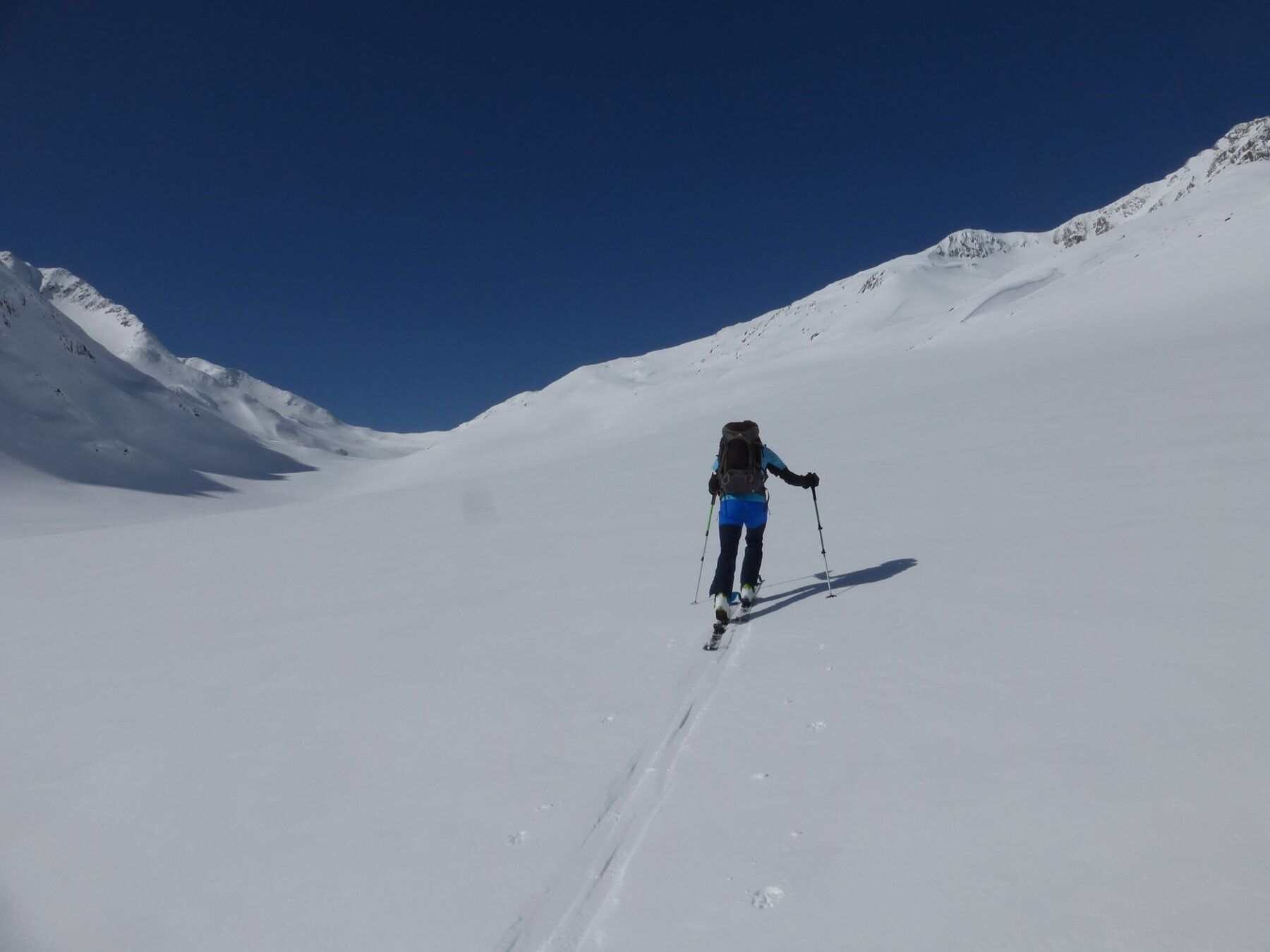
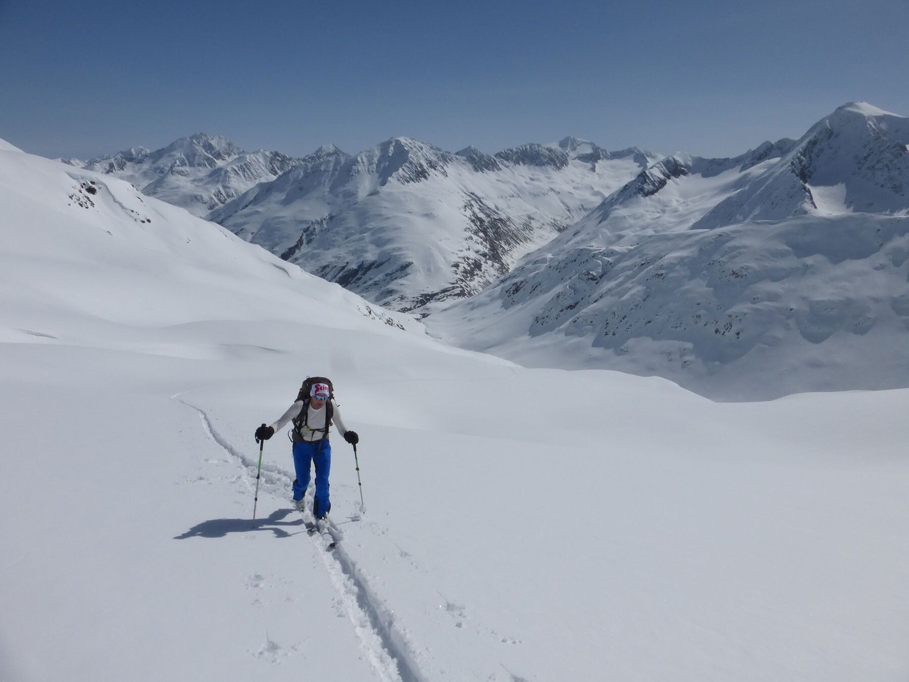
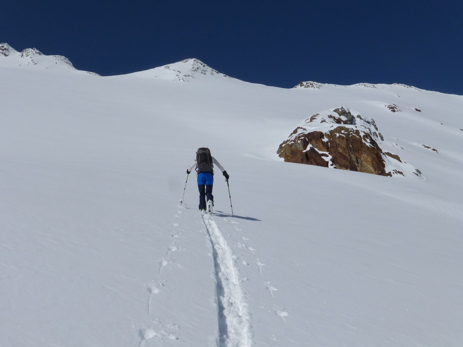
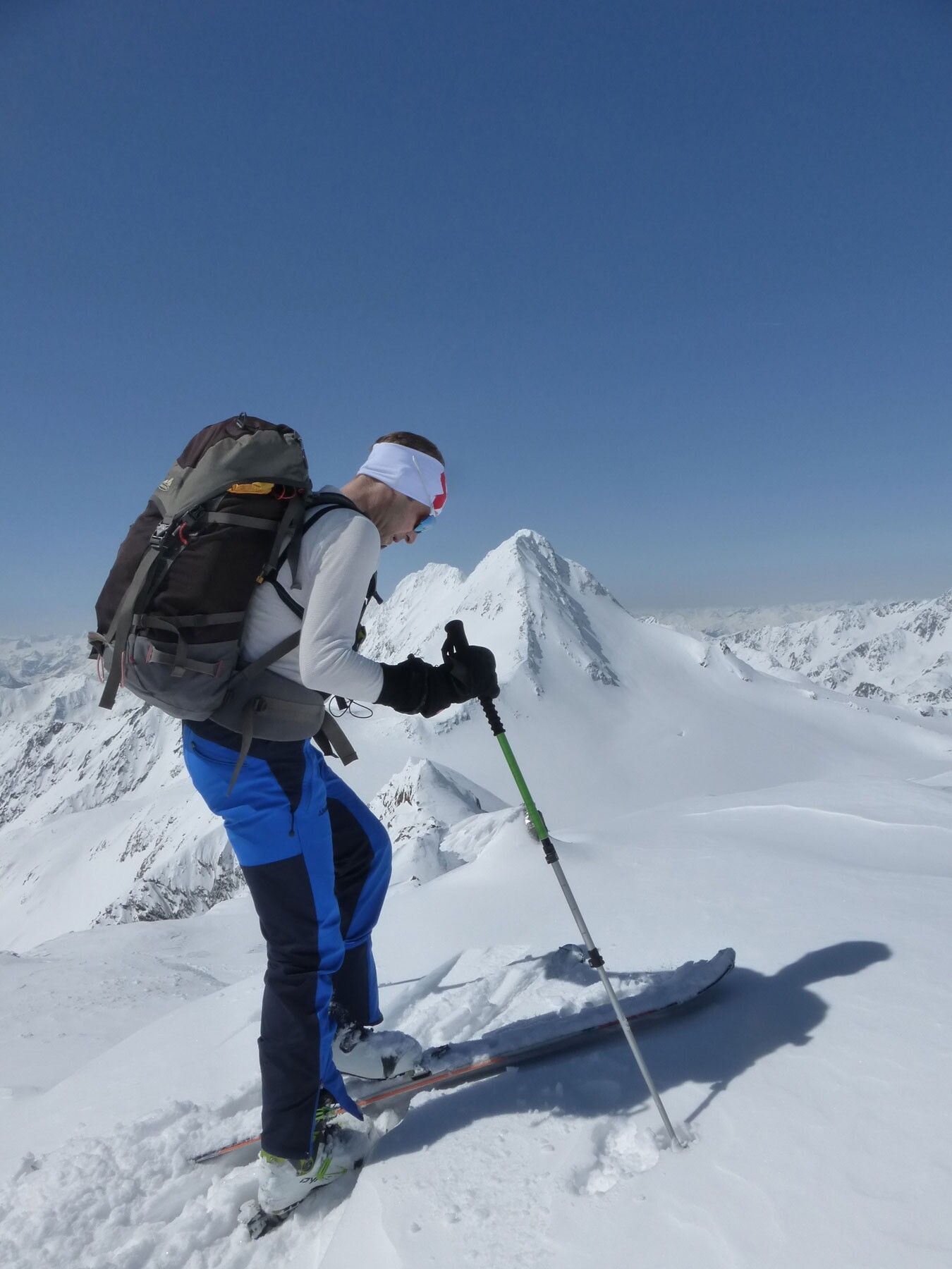
MARTIN BUSCH HUT -> HAUSLABKOGEL
Avalanche Danger Scale
1 (LOW)
An avalanche release is only possible under great additional load on very few, extreme steep slopes. Spontaneous avalanches (so-called slides) are not to be expected. Generally safe conditions.
2 (MODERATE)
An avalanche release is probable with great additional load mainly at the mentioned steep slopes. Larger avalanches are not expected. The snow cover is generally well consolidated except at some steep slopes. Careful route selection at the indicated steep slopes and slope exposures.
3 (CONSIDERABLE)
An avalanche release is likely already with a small additional load, especially at the indicated steep slopes. Occasionally some medium, rarely even large avalanches are possible spontaneously. The snow cover is only moderately to weakly consolidated on many steep slopes. Experience in avalanche assessment is necessary. Avoid indicated steep slopes and slope exposures as much as possible.
4 (HIGH)
An avalanche release is possible already with small additional load, especially at the indicated steep slopes. Numerous medium and often large avalanches occur. The snow cover is only weakly consolidated on many steep slopes. Route choice limited to moderately steep terrain and observing avalanche run-out zones. Extensive experience in avalanche assessment is necessary.
5 (VERY HIGH)
Numerous large avalanches expected spontaneously, also in moderately steep terrain. At this warning level, safe operation in ski areas is no longer possible. The snow cover is generally weakly consolidated and unstable. Avoid tours.
See also lawine.tirol.gv.at
Recommended Ski Touring Equipment
The "normal ski touring equipment" consists of touring skis with touring bindings, telescopic poles, climbing skins, crampons, digital avalanche transceiver, avalanche shovel, avalanche probe, first aid kit, and a mobile phone. A "complete glacier equipment" consists of a harness, two differently sized prusik loops or ascenders, two HMS carabiners, ice axe, crampons, and a rope. A backpack with appropriate contents should be carried, including change of clothes, sun protection, cold protection, food, and enough to drink! For overnight stays in huts, do not forget hygiene articles and a hut sleeping bag!
DIFFICULTY RATING
Easy: Easy, short to moderately long routes with ascents that do not or only briefly exceed 25°.
Medium: Medium difficulty, moderately long to long routes with ascents that do not or only briefly exceed 35°.
Difficult: Difficult, long to very long routes with ascents of 40° or more and climbing sections up to grade II difficulty (UIAA).
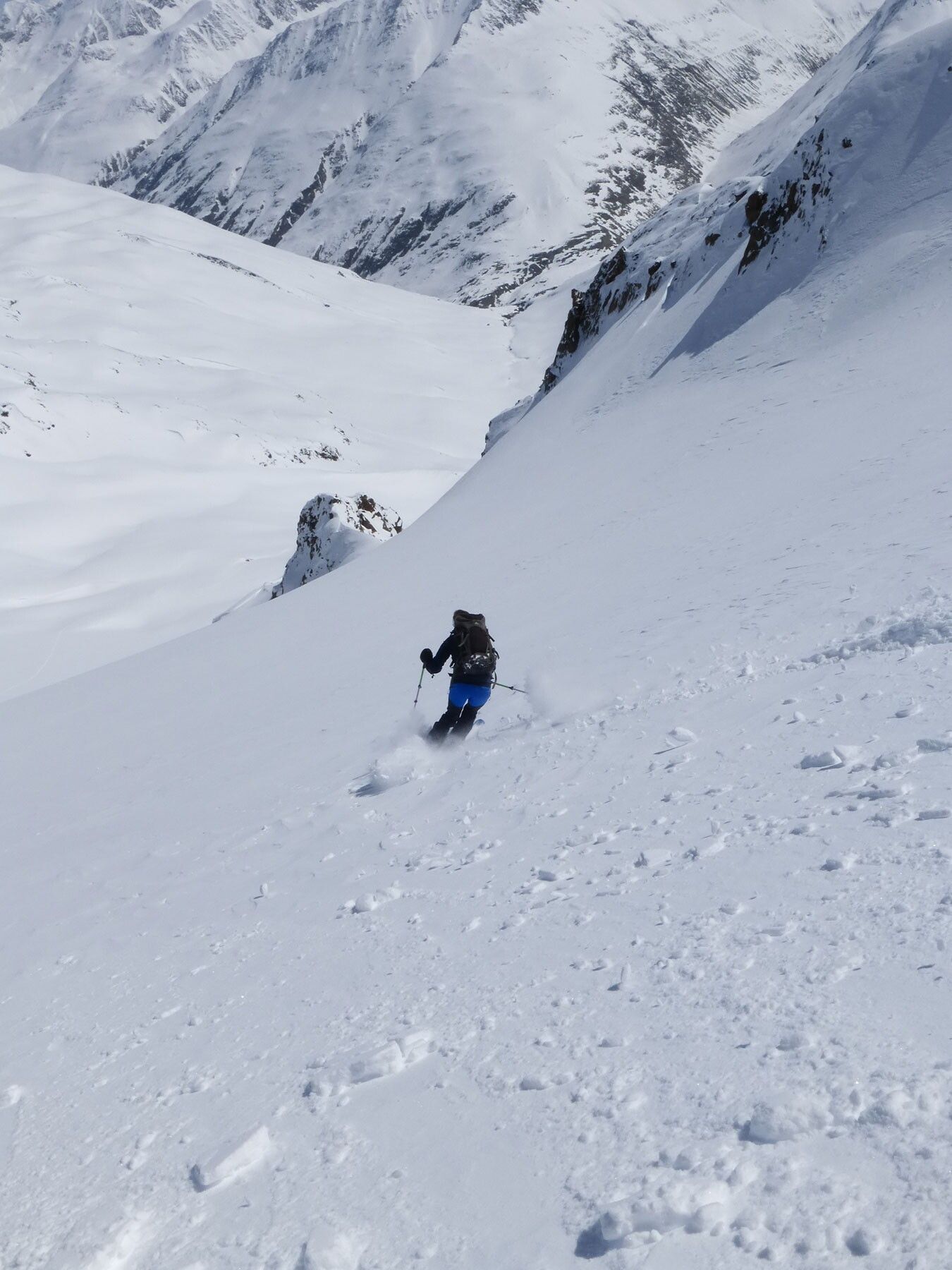
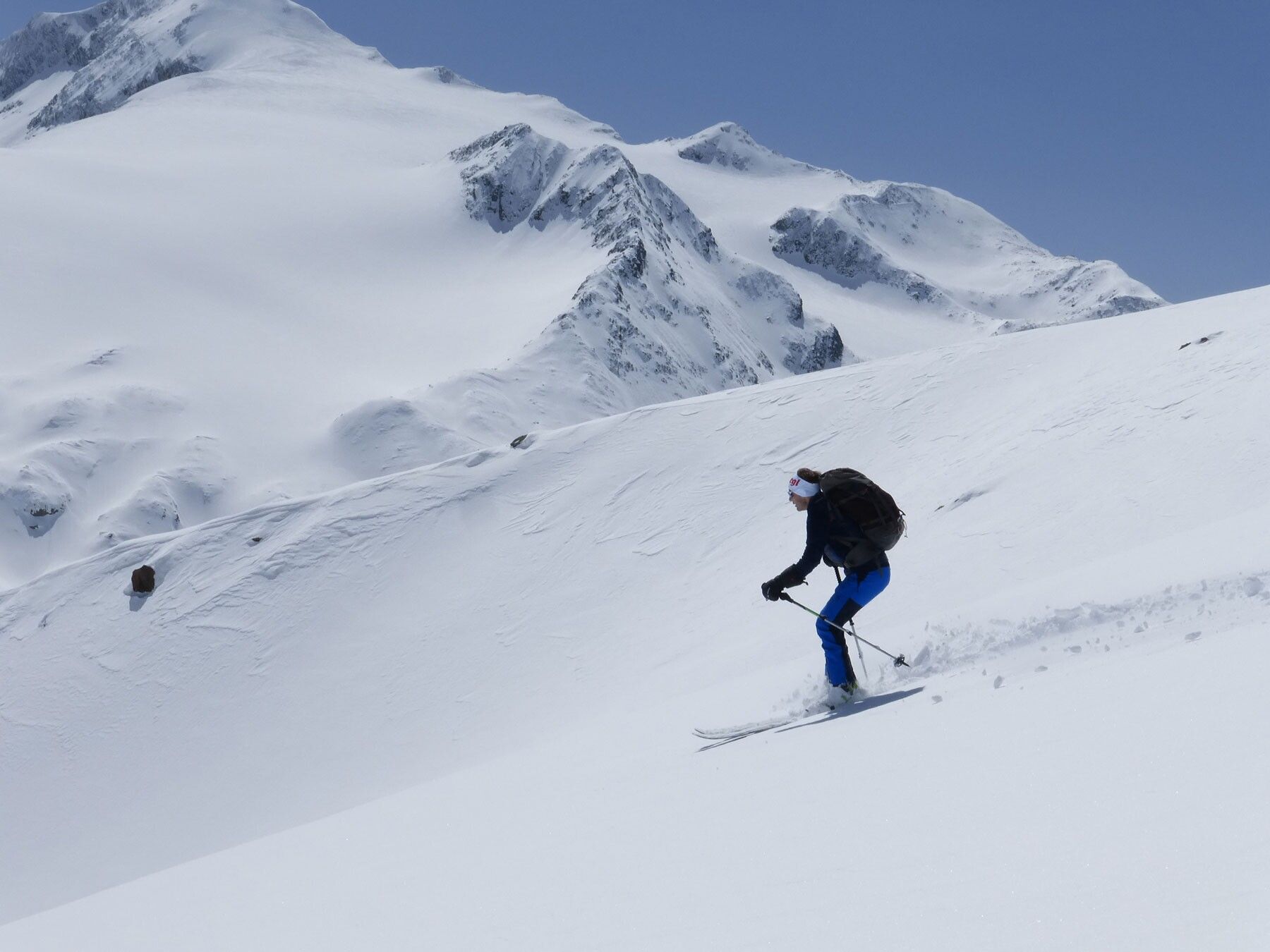
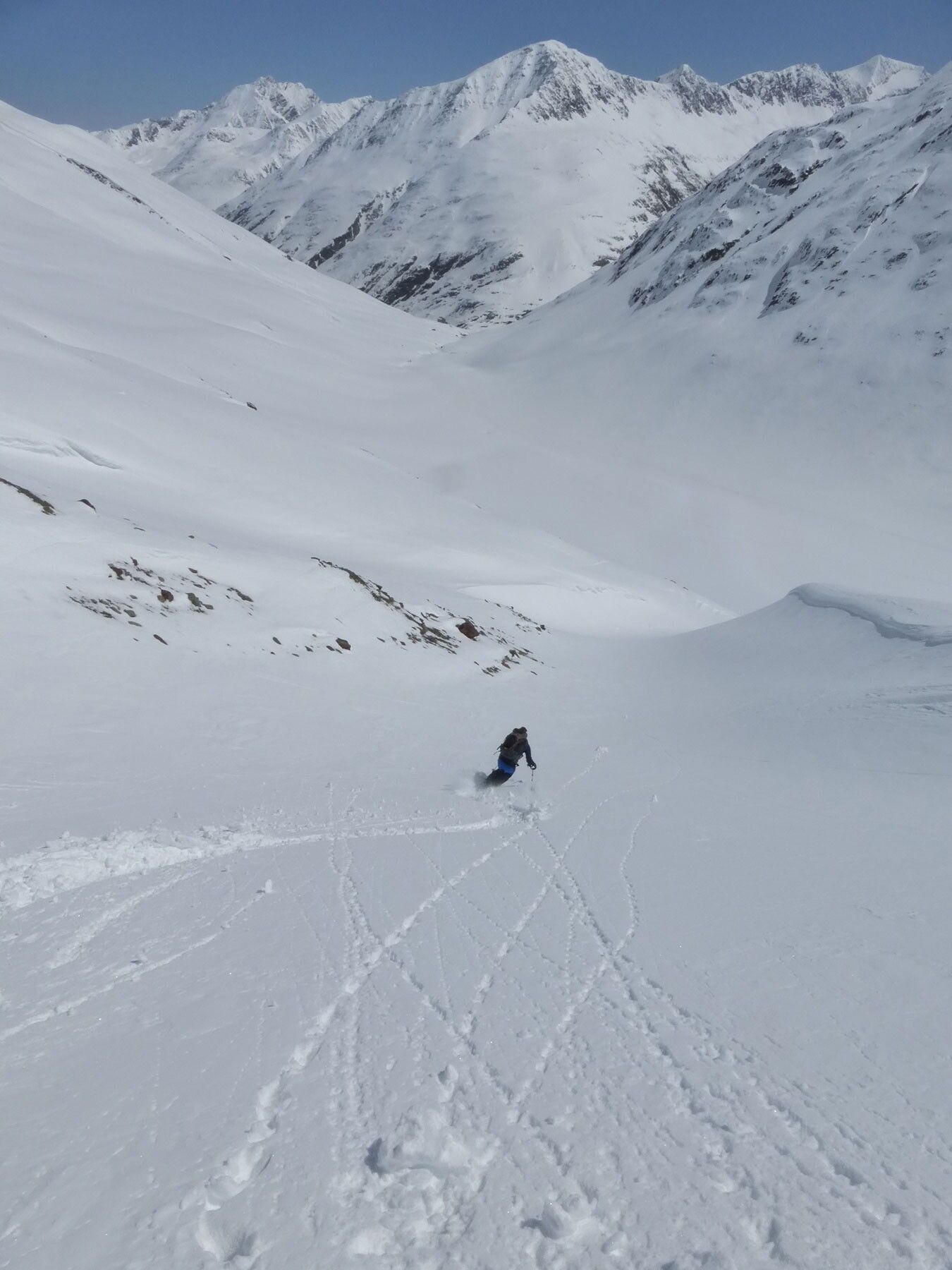
The route to Hauslabkogel 3,402m, due to its mostly eastern to northeastern exposure, often still allows for a powder snow descent even in late spring. From the Martin Busch Hut, we follow along the Niederjochbach towards the southwest until we reach the point where we meet the Seibach, which runs down from the glacier at Hauslabkogel into the valley. In the area of the old moraine walls, the ascent continues uphill on terrain inclined between 30° and 35°, until we reach the glacier at an elevation of 3,050m. Over the extensive but quite crevassed glacier, the route leads uphill in mostly 30° to 35° terrain toward the summit. The summit itself can be easily reached with skis attached.
Travel comfortably and safely by train to the Ötztal station. The final station or exit point is ÖTZTAL station. Afterwards, you travel comfortably and quickly with public transport or local taxi companies through the entire valley to your desired destination! The current bus schedule is available at: fahrplan.vvt.at
In the mountaineering village of Vent, the following parking options are available.
- In summer, in front of the village (parking meter, coins or EC card only) and at the valley station of the chairlift (at the mountain railways’ ticket office)
- In winter, only at the valley station of the chairlift.
Cost: €5.00 per day/car
