
Opening hours:Open today
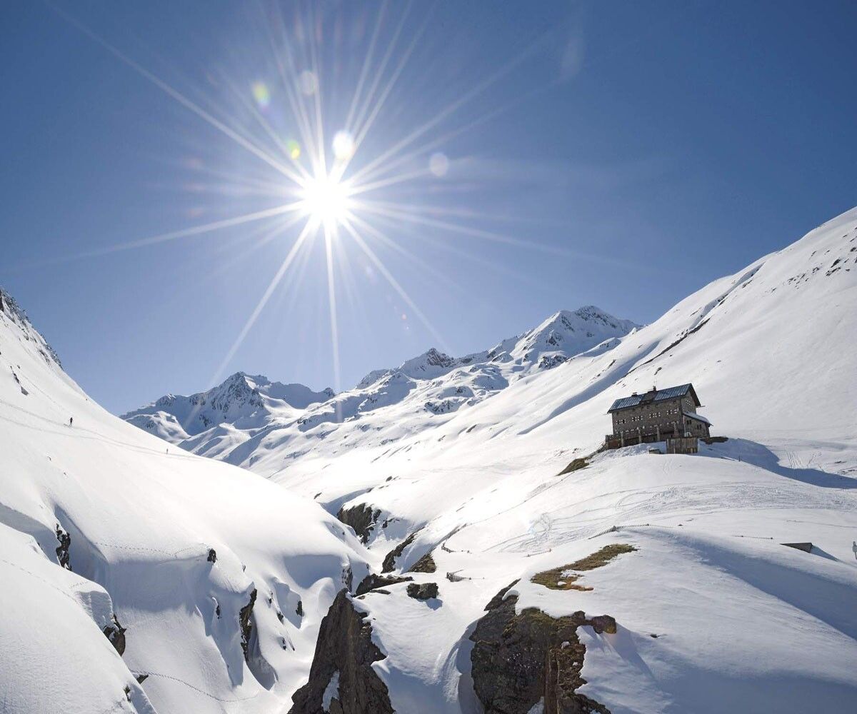
Place:Vent
:Alpine pasture / hut / mountain restaurant
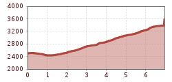
MARTIN BUSCH HUT -> HINTERE SCHWÄRZE
Avalanche danger scale
1 (LOW)
Avalanche release is only possible with a great additional load on very few, extreme steep slopes. Spontaneous avalanches (so-called slides) are not expected. Generally safe conditions.
2 (MODERATE)
Avalanche release is likely at steep slopes indicated with a great additional load. Larger avalanches are not expected. The snowpack is generally well consolidated, except on some steep slopes. Careful route selection for indicated steep slopes and slope aspects.
3 (CONSIDERABLE)
Avalanche release is already likely at slight additional loads especially on the specified steep slopes. Occasionally some medium and occasionally also large avalanches are possible. The snowpack is moderately to poorly consolidated on many steep slopes. Experience in avalanche assessment is necessary. Avoid specified steep slopes and slope aspects as much as possible.
4 (HIGH)
Avalanche release is possible already with slight additional load mainly on specified steep slopes. Numerous medium and often also large avalanches occur. On many steep slopes the snowpack is weakly consolidated. Route choice should be limited to moderately steep terrain, and attention to avalanche run-out areas is required. Much experience in avalanche assessment is necessary.
5 (VERY HIGH)
Numerous large avalanches, also in moderately steep terrain, are spontaneously expected. At this warning level, safe operation in ski areas is no longer possible. The snowpack is generally weakly consolidated and unstable. Avoid tours.
See also at lawine.tirol.gv.at
Recommended ski touring equipment
The “normal ski touring equipment” consists of touring skis with touring bindings, telescopic poles, climbing skins, crampons, digital avalanche transceiver, avalanche shovel, avalanche probe, first aid kit, and a mobile phone. A “complete glacier equipment” consists of a harness, two prusik loops or ascenders of different lengths, two HMS carabiners, an ice axe, crampons, and a rope. A backpack with appropriate contents should be carried, including change of clothing, sun protection, cold protection, provisions, and enough to drink! For overnight stays in huts, don’t forget personal hygiene items and a hut sleeping bag!
Difficulty rating
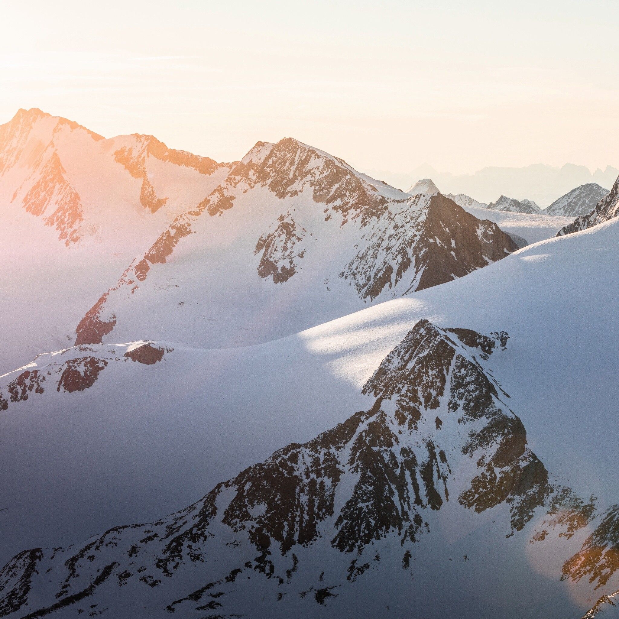
From the hut head southwards to the Niederjochbach and continue around the northern Marzellkamm. Then ascend to the Marzellferner glacier, passing the dangerous crevasses. From about 3,150 m above sea level, leave the Mutmalspitzen behind and reach a ramp that leads steeply up to the summit ridge. From there, traverse very exposed on foot to the highest point.
Travel comfortably and safely by train to the Ötztal railway station. The final stop or exit point is the ÖTZTAL station. Afterwards, you travel conveniently and quickly by public transport or local taxi companies through the entire valley to your desired destination! The current bus schedule is available at: http://fahrplan.vvt.at
In the mountaineering village of Vent, the following parking options are available.
- In summer, in front of the village (parking meter, coins or EC card only) and at the valley station of the chairlift (at the mountain railways cash desk)
- In winter, only at the valley station of the chairlift.
Cost: €5.00 per day/car
